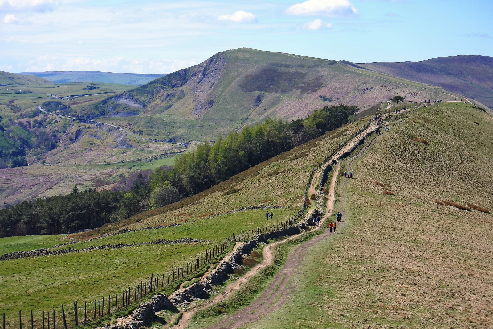
Hope Valley & Edale
Arrive at Edale, Hope or another chosen station, read the weather from the valley, complete one signed route with a firm turn-back, and reach the railhead before service gaps matter.
Three useful choices, each with a real sacrifice.
Edale valley and village
Use lower paths, the village and a short climb. It offers Peak District context with the largest weather margin.
Mam Tor and ridge section
Commit to a bounded high route from a named trailhead. This provides the classic profile but is exposed and bus or walking dependent.
Station-to-station valley walk
Use two Hope Valley railheads and keep elevation moderate. It simplifies the return but demands correct path and train timing.
Meet the day at its real gateway.
Hope Valley trains call at several small stations with different trail access and limited facilities. Choose the exact station and route before boarding. Mam Tor is not directly at Edale station, and road-side trailheads may require buses or additional walking.
Know what this route leaves out.
A lower valley day sacrifices the long skyline but protects the rail return. A ridge day gains views at the cost of weather tolerance, speed and any museum or town fallback.
Use Peak District & Derbyshire as an operating system, not a pin collection.
The Peak District is a group of valleys, moors, towns and estates rather than one arrival point. Hope Valley rail, Bakewell and Chatsworth buses, and the southern dales create different day systems. Every plan needs a named gateway, surface-aware route and protected return.
Three nights in Sheffield, Buxton, Bakewell or a village base supports two distinct landscape days and one poor-weather fallback. The best base depends on rail versus road access; a scenic village without evening service may reduce usable flexibility.
Hope Valley stations serve northern walking routes, while Bakewell and Chatsworth depend largely on buses or roads. Dovedale uses different southern gateways. Weekend crowding and engineering works can affect both rail and local buses.
Moorland wind, rain, snow and saturated paths matter beyond temperature. Summer adds daylight but busy trailheads; winter demands shorter routes. Estate opening and bus frequency may be seasonal.
Use Bakewell, Buxton, Sheffield or a selected estate interior when high ground is unsuitable. A lower valley route is better than replacing one exposed ridge with another.
Arrive, read the window, commit once, then get back.
Check Northern rail service, Peak District alerts, detailed weather, daylight and the exact mapped route before boarding the train.
- 01Arrive
Leave the correct railhead
Confirm the next and final trains, then follow the signed village or trail approach. Do not navigate to a summit by straight-line phone bearing.
- 02Read the window
Read conditions from low ground
Assess cloud, wind, water and path surface before gaining exposed elevation. Activate the lower route early when necessary.
- 03Commit
Commit to a bounded route
Use a named ridge segment, valley circuit or station-to-station line with a time-based turnaround. Stay away from unstable edges and eroded shortcuts.
- 04Return
Return with rail margin
Reach the station before the intended train and keep shelter options in mind. Small stations may have limited services and long gaps.
Reopen the sources that control today’s window.
The guide explains the route decision; these official pages control transport, admission, paths, tides, weather and closures.
Keep a complete lower-risk day.
When high ground is unsuitable, use Edale village, lower valley paths or a short rail move to a serviced town. Do not swap Mam Tor for another exposed ridge without reassessing conditions.
Check Northern rail service, Peak District alerts, detailed weather, daylight and the exact mapped route before boarding the train.
Change the plan while the return is still strong.
Small stations have service gaps
A missed train can create a long wait in limited shelter. Know the next two options before walking.
Ridge weather differs from the valley
Clear fields below do not guarantee safe visibility or wind above. Use Met Office and park advice plus live observation.
Popular desire lines may be erosion
Follow signed and surfaced routes, not shortcuts that damage slopes or lead toward steep ground.
Other ways to use Peak District & Derbyshire.
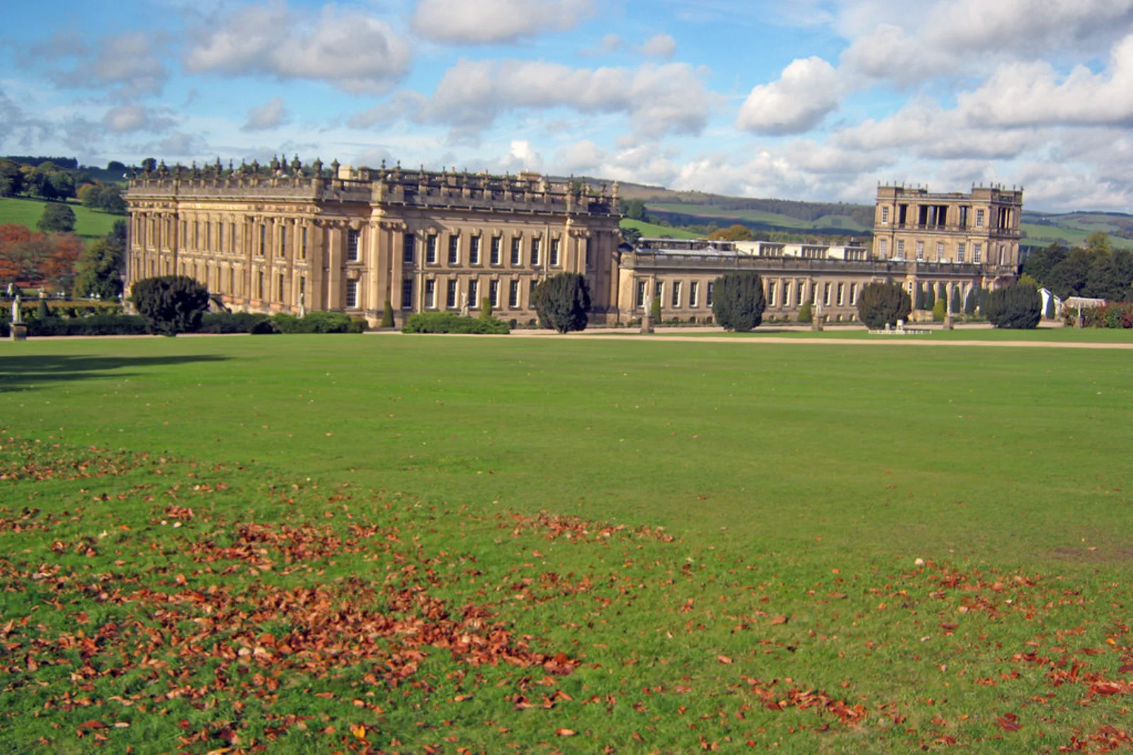
Bakewell & Chatsworth
Choose Chatsworth’s house, garden or wider estate as the paid anchor and connect it to Bakewell with an actual bus or…
Open this field file →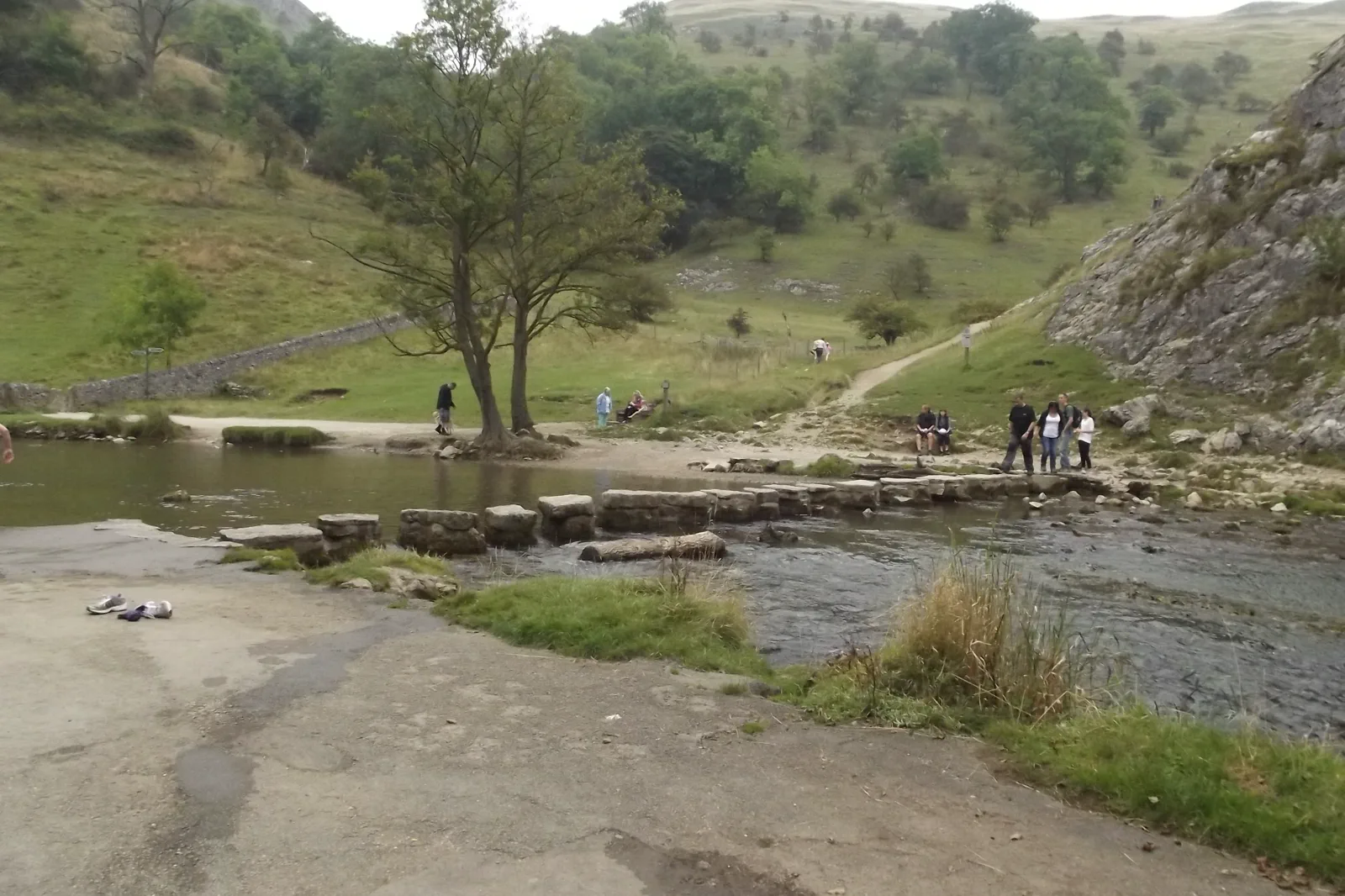
Dovedale & Ashbourne
Choose a safe Dovedale valley segment and an Ashbourne transport base, treating river level, stepping-stone access and the…
Open this field file →Hope Valley & Edale FAQ
How much time should I give Hope Valley & Edale?
Allow five to eight hours depending on the route and rail origin. A ridge traverse is a dedicated day; a lower valley circuit can fit four hours.
What should I combine with Hope Valley & Edale?
Combine one Hope Valley route with a meal in the same village or rail corridor. Keep Chatsworth, Bakewell and Dovedale for separate days.
What should I verify before leaving?
Check Northern rail service, Peak District alerts, detailed weather, daylight and the exact mapped route before boarding the train.
Official sources and photo credits
Planning facts and image licensing were reviewed on 20 September 2026. Admission, transport, roads, paths, tides, weather and local access can change; reopen the linked authority or operator before travel.
- Peak District National Park — official trip planning.
- Northern — Hope Valley rail information.
- Peak District National Park — official visitor information.
- Visit Peak District & Derbyshire — official destination guide.
- Chatsworth House - geograph.org.uk - 2191619.jpg — Trevor Rickard, CC BY-SA 2.0. Resized, display-cropped and converted to WebP; no other material edits.
- Mam Tor from the Ridge path - Flickr - Donnchadh H.jpg — Donnchadh H, CC BY 2.0. Resized, display-cropped and converted to WebP; no other material edits.
- Dovedale - River Dove - Thorpe Cloud - Stepping Stones (15041656340).jpg — Elliott Brown from Birmingham, United Kingdom, CC BY-SA 2.0. Resized, display-cropped and converted to WebP; no other material edits.