Pembrokeshire & West Wales
Use one harbour, saint’s city or rail coast at a time; the path does not shorten the roads.
St Davids, Tenby and the Ceredigion coast sit on separate West Wales corridors. Rail reaches Tenby and Aberystwyth, while St Davids needs a bus or road connection. Coast-path sections, boats and island visits add weather, tide and final-service decisions that should be explicit.
Choose one file from the gateway, weather and return you actually have.
Every file carries its own access decision, sequence, fallback, break points, official sources and licensed image record.
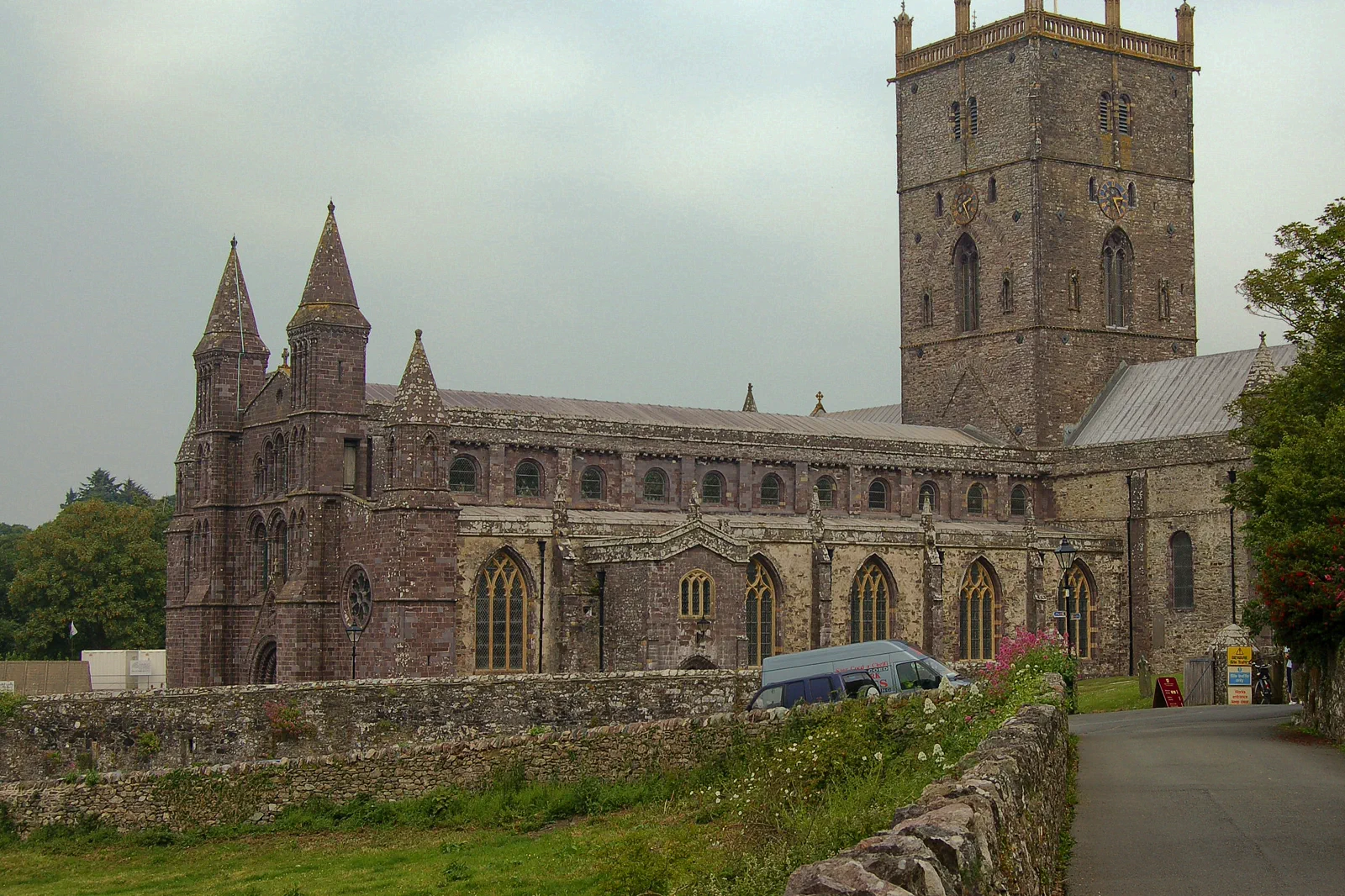
St Davids & the Pembrokeshire Coast
Choose St Davids cathedral city or one nearby coast segment as the main day, naming the rural bus, parking or boat connection before the national-park edge becomes an open-ended loop.
Open the complete field file →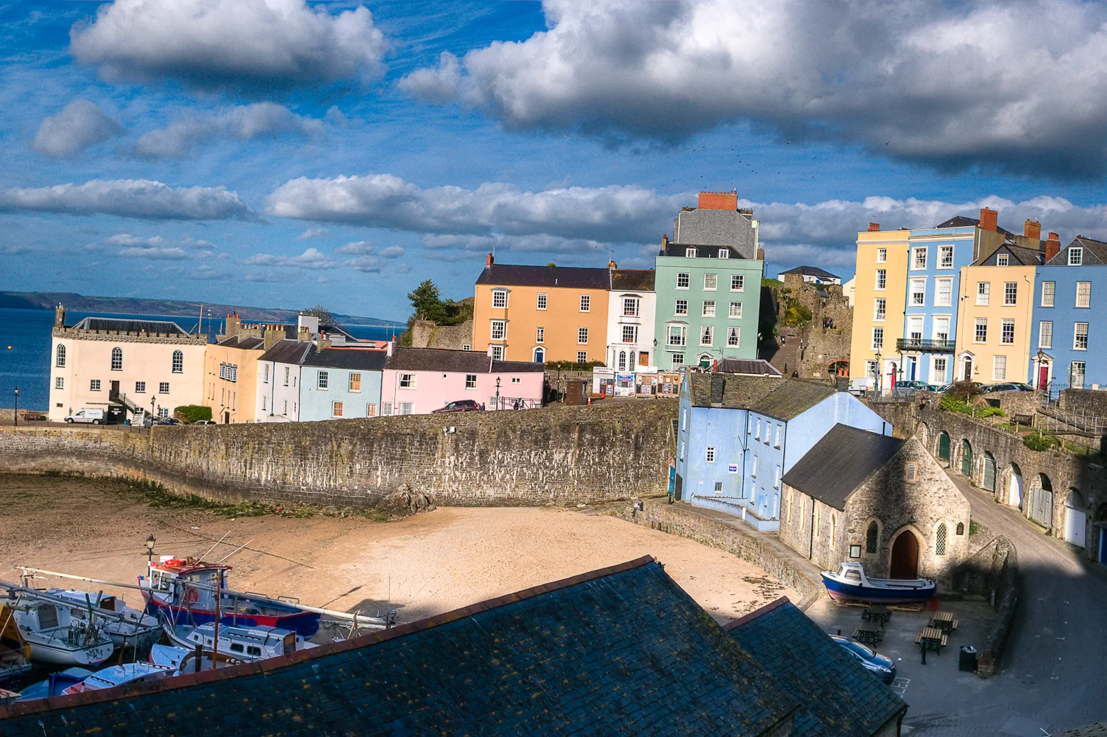
Tenby, Caldey & the South Coast
Choose Tenby’s walled harbour town, a Caldey Island sailing or one coast-path section, matching tides, boat operation and the branch train instead of stacking all three.
Open the complete field file →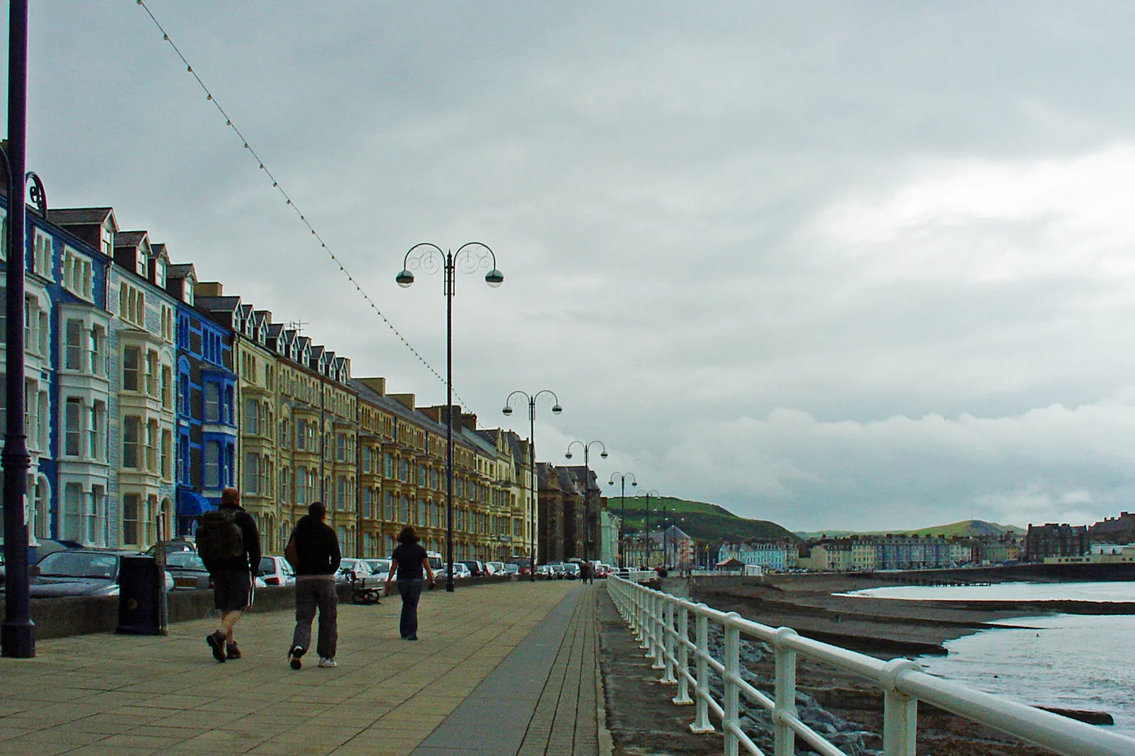
Aberystwyth & the Ceredigion Coast
Use Aberystwyth as the rail-end city and choose the National Library, cliff railway or one Ceredigion coast branch, respecting the long rail journey and sparse onward services.
Open the complete field file →Each route buys something by leaving something else out.
St Davids & the Pembrokeshire Coast
Gateway: St Davids has no railway station. Buses and roads arrive in the city, while coast trailheads and boat harbours sit beyond it. Confirm the rural return and operator pickup; do not assume the cathedral and coast start share one stop.
Sacrifice: A deep cathedral visit, substantial coast walk and boat trip do not fit one resilient day. Choosing the coast sacrifices palace and city depth; choosing the city gives up marine reach but protects the return.
Time: Allow a full day from a Pembrokeshire base. The cathedral and city need four to six hours; a coast or boat branch owns the remaining daylight.
Tenby, Caldey & the South Coast
Gateway: Tenby station is inland from the harbour. Boat departure location can change with tide and operator, while coast-path exits require named bus or rail returns. Save the final train and confirm the harbour check-in before exploring the town.
Sacrifice: Caldey, a long coast walk and relaxed Tenby are separate priorities. Choosing the island sacrifices path distance; choosing the coast gives up the sailing but creates a land-based return.
Time: Allow a full day for Caldey or a substantial coast section. Tenby town and beaches need five to six hours from a nearby base.
Aberystwyth & the Ceredigion Coast
Gateway: Aberystwyth is the end of a long Transport for Wales line. The National Library is uphill, the cliff railway lies north along the promenade and the Vale of Rheidol has its own station and timetable. Do not schedule a tight mainline connection after a heritage service.
Sacrifice: A complete heritage-rail journey, library visit and long seafront day do not fit comfortably. Choosing the valley sacrifices town depth; staying in Aberystwyth gives up the inland branch but protects flexibility.
Time: Allow a full day from a closer West Wales base, or stay overnight after a long rail journey. The Vale of Rheidol is a dedicated half- to full-day event.
These sources control the moving parts.
Use the route book for structure, then reopen current transport, destination and weather information for the exact date.
Pembrokeshire & West Wales FAQ
How long should I give Pembrokeshire & West Wales?
Four to six nights across one or two bases supports a south Pembrokeshire town, St Davids and a Ceredigion branch. Tenby is useful for the south coast; St Davids for the national-park edge; Aberystwyth for rail and northern Ceredigion.
What transport decision matters most around Pembrokeshire & West Wales?
West Wales rail branches are slow and vulnerable to missed connections. Coastal buses can be seasonal. Boats use named harbours and sea-state policies. Protect the final land connection before joining the coast path or island queue.
What should I do if weather, access or transport changes?
Use Tenby, St Davids or Aberystwyth as a complete town day. If a boat or coast segment fails, do not replace it with another distant exposed headland.
Official sources and photo credits
Planning facts and image licensing were reviewed on 20 September 2026. Verify current tickets, services, roads, paths, tides and site access before travel.
- Visit Pembrokeshire — official destination guide.
- Pembrokeshire Coast National Park — official visitor information.
- Transport for Wales — rail and bus planning.
- St Davids Cathedral Wales Pembrokeshire.jpg — Aqwis, CC BY-SA 3.0. Resized, display-cropped and converted to WebP; no other material edits.
- Tenby, Pembrokeshire, Wales (3493504312).jpg — Phil Price from Encinitas, California, USA, CC BY-SA 2.0. Resized, display-cropped and converted to WebP; no other material edits.
- Promenade, Aberystwyth - geograph.org.uk - 2568817.jpg — Dylan Moore, CC BY-SA 2.0. Resized, display-cropped and converted to WebP; no other material edits.