Inverness & the Scottish Highlands
Choose one glen or plateau per day and keep the return stronger than the view.
Inverness and Loch Ness, Glencoe and Fort William, and Aviemore with the Cairngorms use long, weather-sensitive rail and road corridors. Distances, daylight and sparse alternatives make one named landscape per day the useful maximum. A hotel booking does not make a mountain road, path or cruise operational.
Choose one file from the gateway, weather and return you actually have.
Every file carries its own access decision, sequence, fallback, break points, official sources and licensed image record.
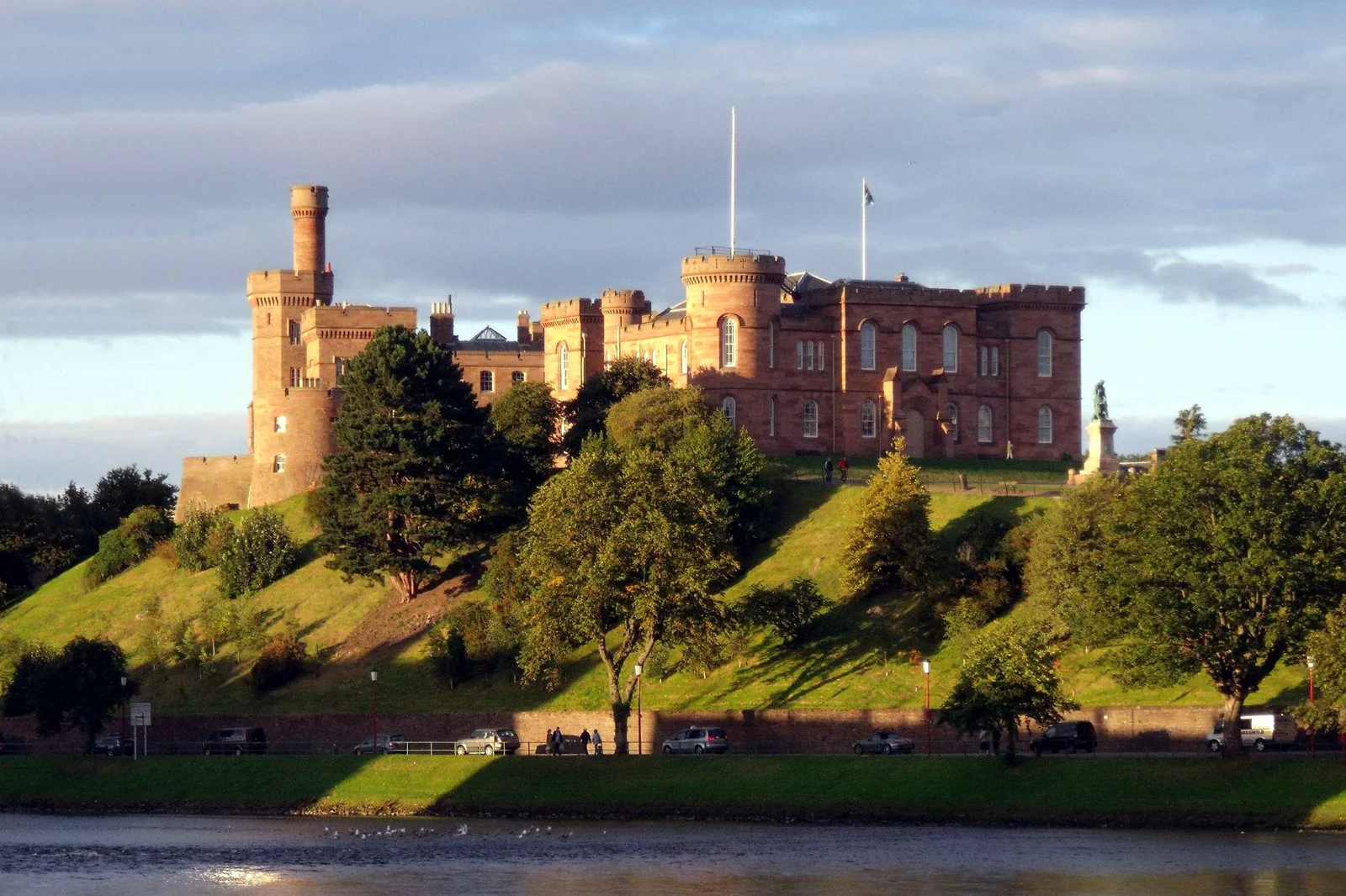
Inverness & Loch Ness
Choose Inverness city, a specific Loch Ness shore site or one cruise product, naming the road or pier connection rather than treating the loch as directly beside the rail station.
Open the complete field file →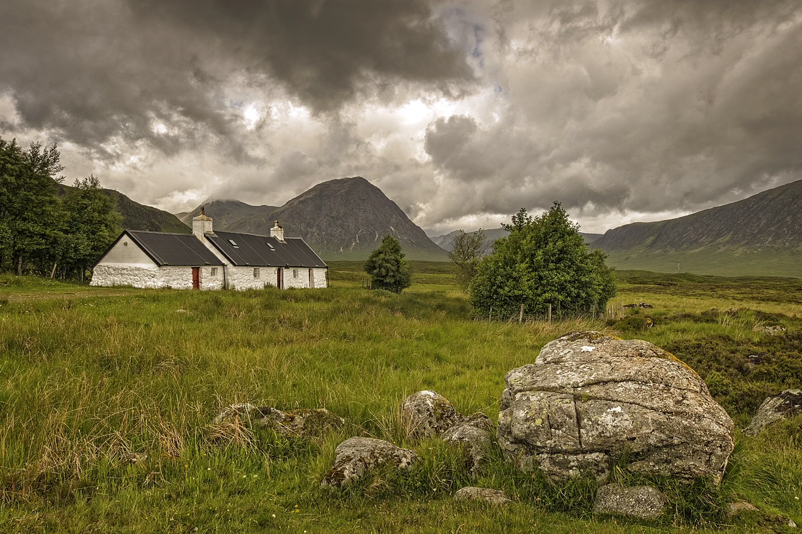
Glencoe & Fort William
Choose Fort William as a low-level base or one named Glencoe route, accounting for the A82 corridor, mountain weather and sparse trailhead transport before committing to elevation.
Open the complete field file →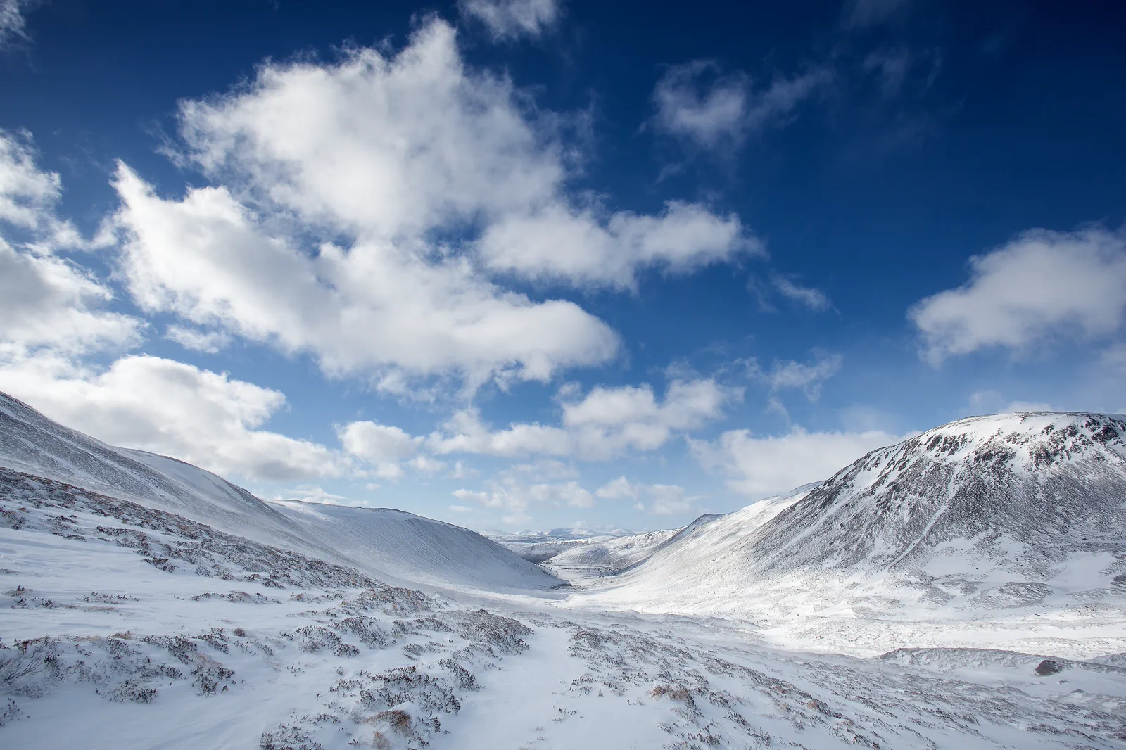
Aviemore & the Cairngorms
Choose forest, loch or mountain access from Aviemore and make the bus, funicular or trail status a live gate rather than assuming the plateau is automatically available.
Open the complete field file →Each route buys something by leaving something else out.
Inverness & Loch Ness
Gateway: Inverness station and bus station are central; Loch Ness sites extend far south-west on different shores. Cruises may depart from the Caledonian Canal or loch-side piers. Confirm pickup, landing and return rather than following a generic Loch Ness ticket.
Sacrifice: A full Inverness day, Urquhart Castle and a long cruise cannot all receive useful time. Choosing the loch sacrifices city depth; choosing the city gives up the iconic shore but protects flexibility.
Time: Allow a full day for Inverness plus one loch anchor. The city alone needs four to six hours; a long cruise or castle combination can consume the whole day.
Glencoe & Fort William
Gateway: Fort William has rail and coach service; Glencoe village and trailheads use buses, tours or cars along the A82. Stops can be roadside and far from route starts. Ben Nevis and other mountain objectives require separate detailed planning beyond a sightseeing itinerary.
Sacrifice: A deep Glencoe route, Fort William town and a mountain ascent are separate days. Choosing elevation sacrifices museum and canal time; choosing the lower glen gives up a summit but preserves safety and return.
Time: Allow a full day for one glen or Fort William system. A mountain day uses the complete weather window and should not share a long-distance transfer.
Aviemore & the Cairngorms
Gateway: Aviemore station is the rail base; forest, loch and mountain gateways require buses, bicycles, taxis, tours or cars. Cairngorm Mountain transport and car-park access can change. Confirm the exact gateway and final connection before leaving town.
Sacrifice: Forest, mountain and wildlife activities are distinct days at depth. Choosing the plateau sacrifices lowland flexibility; choosing Rothiemurchus gives up height but preserves routes when wind closes the mountain.
Time: Allow a full day for one Cairngorms layer. Forest-and-loch routes can use five to seven hours; mountain or guided activities own the complete day.
These sources control the moving parts.
Use the route book for structure, then reopen current transport, destination and weather information for the exact date.
Inverness & the Scottish Highlands FAQ
How long should I give Inverness & the Scottish Highlands?
Five to seven nights across one or two bases supports the three systems without daily long transfers. Inverness suits the north and Loch Ness, Fort William the western glens, and Aviemore the Cairngorms. Count base changes as travel days.
What transport decision matters most around Inverness & the Scottish Highlands?
Highland rail and coach services can be infrequent and road delays substantial. Some trailheads and loch sites remain beyond stations. Save the last two returns, exact pickup side and a low-risk base alternative before leaving town.
What should I do if weather, access or transport changes?
Use Inverness, Fort William or Aviemore as complete low-level days through museums, canals, forests or short signed routes. Never replace one closed or clouded mountain with another remote summit attempt.
Official sources and photo credits
Planning facts and image licensing were reviewed on 20 September 2026. Verify current tickets, services, roads, paths, tides and site access before travel.
- VisitScotland — official Highlands destination guide.
- ScotRail — Highland rail planning and service updates.
- Met Office — official mountain weather forecasts.
- Inverness Castle and River Ness Inverness Scotland - conner395.jpg — dave conner from Inverness, Scotland, CC BY 2.0. Resized, display-cropped and converted to WebP; no other material edits.
- The Foot of Glencoe (16237514495).jpg — Lies Thru a Lens, CC BY 2.0. Resized, display-cropped and converted to WebP; no other material edits.
- Cairngorms National Park, United Kingdom (Unsplash).jpg — Daniël Hartog danielhartog, CC0. Resized, display-cropped and converted to WebP; no other material edits.