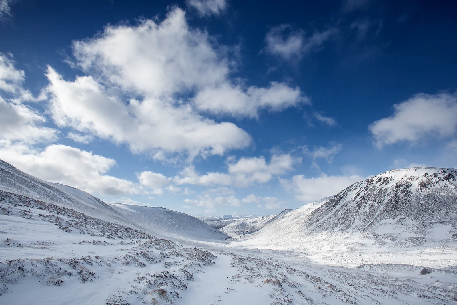
Aviemore & the Cairngorms
Arrive by rail, use Aviemore as the service point, move to one named Cairngorms gateway, and complete a route that can be shortened before the final return.
Three useful choices, each with a real sacrifice.
Rothiemurchus forest and lochs
Use signed lower forest and water routes near Aviemore. This is the strongest variable-weather plan and easiest to shorten.
Cairngorm Mountain visitor access
Use current mountain transport and official access conditions as the anchor. It gives height but may be restricted by wind or maintenance.
Wildlife or guided activity
Book one operator-led wildlife, paddling or winter activity. This adds expertise but fixes time, equipment and cancellation terms.
Meet the day at its real gateway.
Aviemore station is the rail base; forest, loch and mountain gateways require buses, bicycles, taxis, tours or cars. Cairngorm Mountain transport and car-park access can change. Confirm the exact gateway and final connection before leaving town.
Know what this route leaves out.
Forest, mountain and wildlife activities are distinct days at depth. Choosing the plateau sacrifices lowland flexibility; choosing Rothiemurchus gives up height but preserves routes when wind closes the mountain.
Use Inverness & the Scottish Highlands as an operating system, not a pin collection.
Inverness and Loch Ness, Glencoe and Fort William, and Aviemore with the Cairngorms use long, weather-sensitive rail and road corridors. Distances, daylight and sparse alternatives make one named landscape per day the useful maximum. A hotel booking does not make a mountain road, path or cruise operational.
Five to seven nights across one or two bases supports the three systems without daily long transfers. Inverness suits the north and Loch Ness, Fort William the western glens, and Aviemore the Cairngorms. Count base changes as travel days.
Highland rail and coach services can be infrequent and road delays substantial. Some trailheads and loch sites remain beyond stations. Save the last two returns, exact pickup side and a low-risk base alternative before leaving town.
Mountain weather changes rapidly in every season. Winter adds snow, ice and short light; spring can retain high snow; summer brings midges and road pressure; autumn storms can affect rail, ferries and paths.
Use Inverness, Fort William or Aviemore as complete low-level days through museums, canals, forests or short signed routes. Never replace one closed or clouded mountain with another remote summit attempt.
Arrive, read the window, commit once, then get back.
Check Cairngorms National Park guidance, mountain operation, local bus or tour, path conditions, detailed weather and daylight before departure.
- 01Arrive
Set the Aviemore base
Use station, bus and equipment services to confirm the chosen gateway, final return and weather before departure.
- 02Read the window
Reach one landscape layer
Travel to Rothiemurchus, a loch or Cairngorm Mountain with the correct stop and access. Do not change gateways after delays.
- 03Commit
Complete a bounded activity
Follow signed lower routes, the official mountain product or booked guide. Use a time and weather turnaround.
- 04Return
Return before the corridor closes
Regain Aviemore with margin for bus gaps and the onward rail. Keep the evening in town rather than adding another loch.
Reopen the sources that control today’s window.
The guide explains the route decision; these official pages control transport, admission, paths, tides, weather and closures.
Keep a complete lower-risk day.
If mountain access closes, use Rothiemurchus forest, lower lochs or Aviemore facilities according to current path conditions. If outdoor weather is severe, shorten the day rather than driving to another exposed plateau.
Check Cairngorms National Park guidance, mountain operation, local bus or tour, path conditions, detailed weather and daylight before departure.
Change the plan while the return is still strong.
Mountain transport is conditional
Wind, maintenance and operating policy can close or restrict access. Check live status and do not plan beyond permitted areas.
Lower routes still need conditions
Snow, ice, flooding and forestry work affect forest paths. Use current signs and a mapped route.
Rural buses have gaps
A missed return from a mountain car park or loch can threaten the mainline train. Save alternatives before departure.
Other ways to use Inverness & the Scottish Highlands.
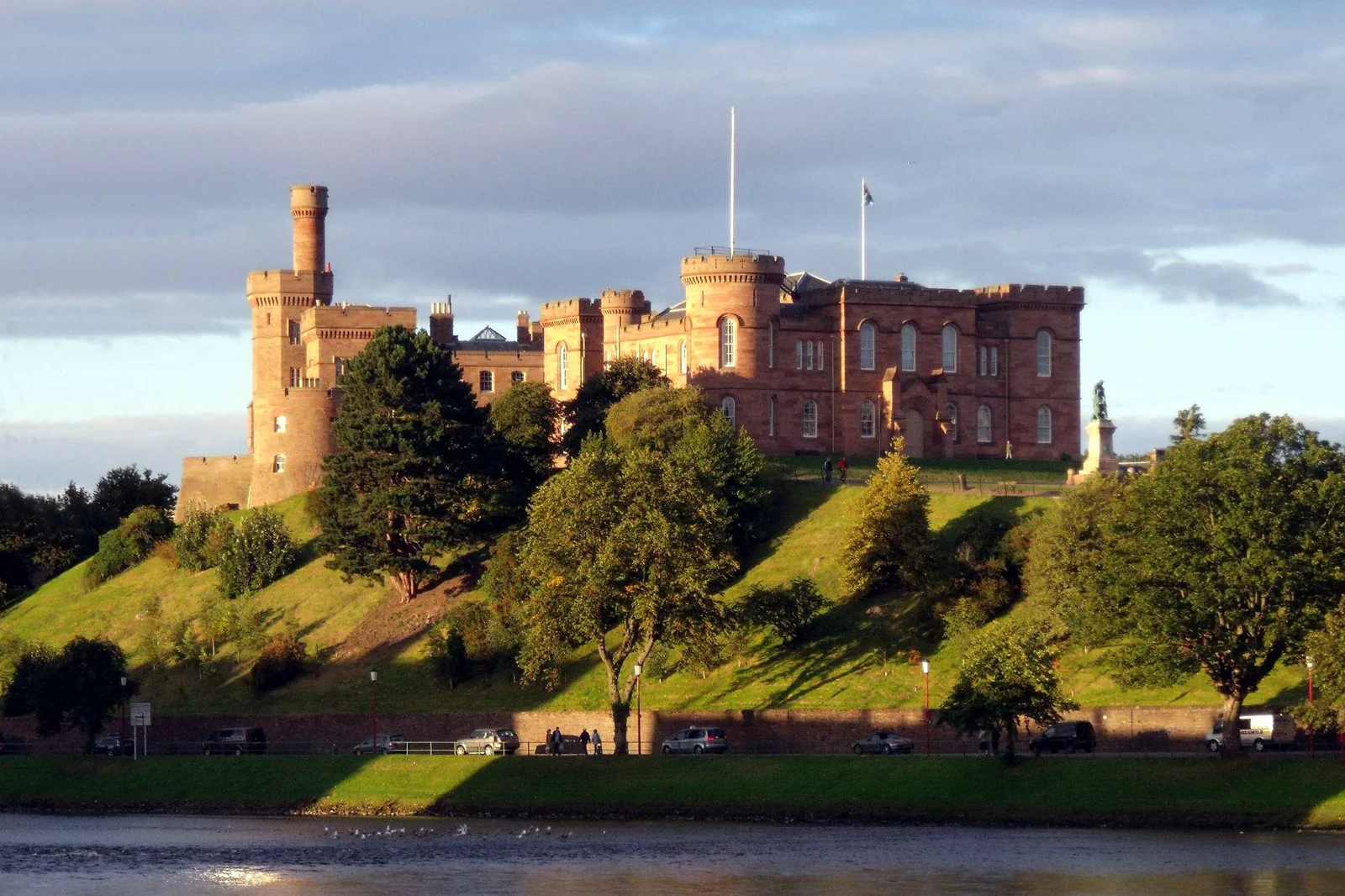
Inverness & Loch Ness
Choose Inverness city, a specific Loch Ness shore site or one cruise product, naming the road or pier connection rather…
Open this field file →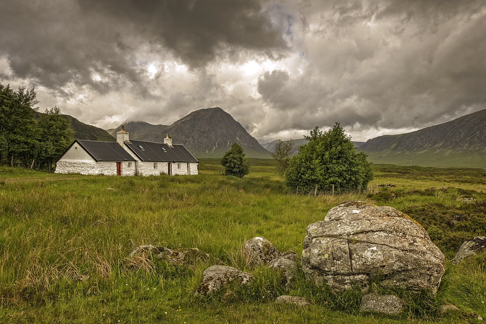
Glencoe & Fort William
Choose Fort William as a low-level base or one named Glencoe route, accounting for the A82 corridor, mountain weather and…
Open this field file →Aviemore & the Cairngorms FAQ
How much time should I give Aviemore & the Cairngorms?
Allow a full day for one Cairngorms layer. Forest-and-loch routes can use five to seven hours; mountain or guided activities own the complete day.
What should I combine with Aviemore & the Cairngorms?
Combine Rothiemurchus with one loch or Aviemore with one booked activity. Keep Inverness and Glencoe for separate days and bases.
What should I verify before leaving?
Check Cairngorms National Park guidance, mountain operation, local bus or tour, path conditions, detailed weather and daylight before departure.
Official sources and photo credits
Planning facts and image licensing were reviewed on 20 September 2026. Admission, transport, roads, paths, tides, weather and local access can change; reopen the linked authority or operator before travel.
- Cairngorms National Park — official visitor information.
- Cairngorm Mountain — official operation and visit information.
- VisitScotland — official Highlands destination guide.
- ScotRail — Highland rail planning and service updates.
- Met Office — official mountain weather forecasts.
- Inverness Castle and River Ness Inverness Scotland - conner395.jpg — dave conner from Inverness, Scotland, CC BY 2.0. Resized, display-cropped and converted to WebP; no other material edits.
- The Foot of Glencoe (16237514495).jpg — Lies Thru a Lens, CC BY 2.0. Resized, display-cropped and converted to WebP; no other material edits.
- Cairngorms National Park, United Kingdom (Unsplash).jpg — Daniël Hartog danielhartog, CC0. Resized, display-cropped and converted to WebP; no other material edits.