Long Bien Bridge and the Red River Edge rail, market and river infrastructure.
A morning-to-afternoon infrastructure route combining Long Bien Bridge, river views and market life with clear rail and river boundaries.
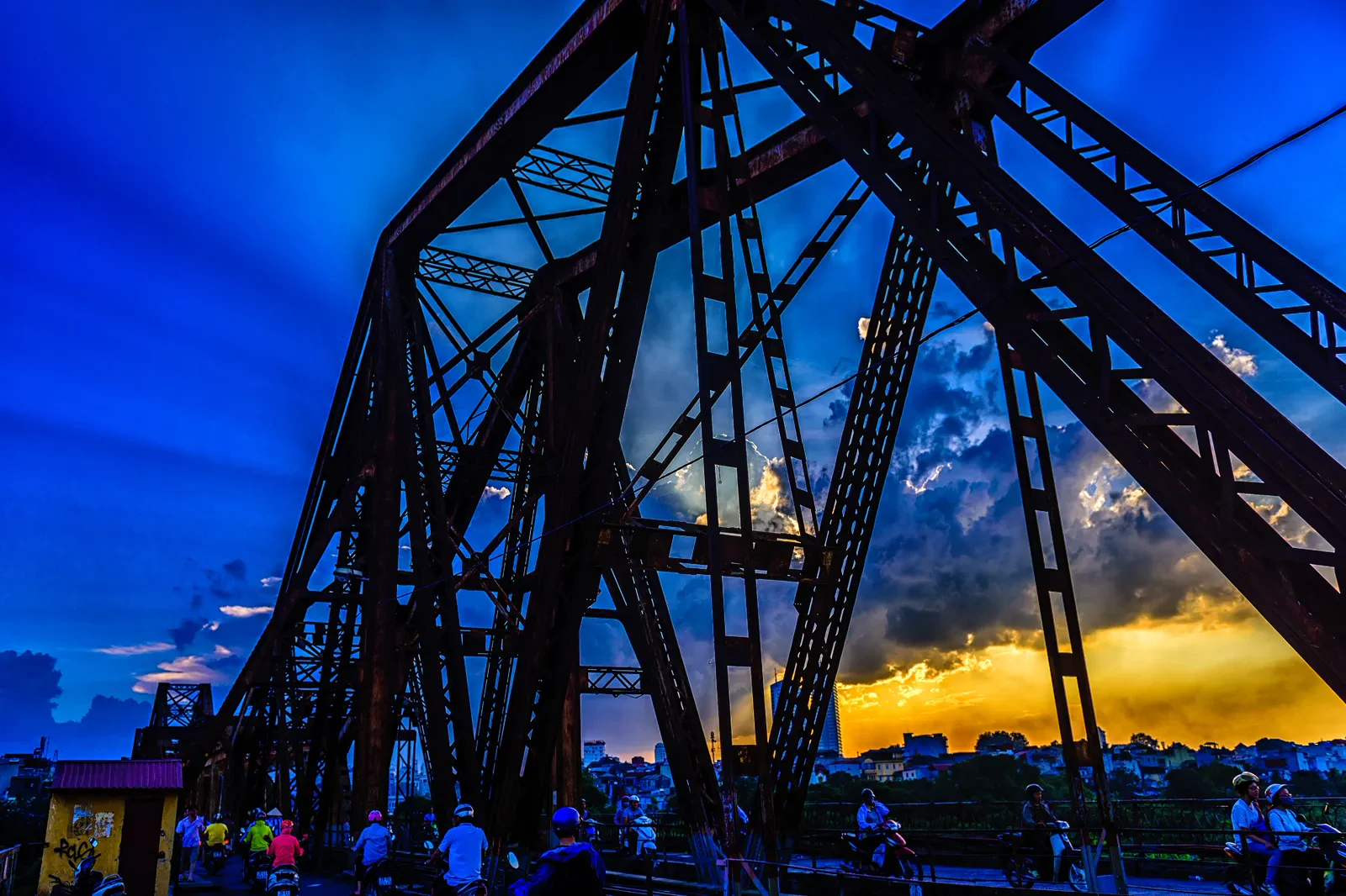
Approach from a known bridge end by taxi or ride-hailing, then use only the pedestrian space. Riverbank paths may be muddy, informal or inaccessible after rain.
Observe the bridge from a safe edge, move to a permitted market or neighborhood viewpoint, and return before low light makes the riverbank and traffic harder to read.
Never turn the active railway into a walking attraction. The bridge’s historic value does not suspend present-day rail operations or worker safety.
Keep the local logic visible.
Long Bien is most interesting when the bridge is treated as working infrastructure. The railway, scooters, pedestrians, agriculture and riverbank trade occupy different layers; the route should make those boundaries visible instead of encouraging risky imitation of a photograph.
Let sequence do the editing.
Observe the bridge from a safe edge, move to a permitted market or neighborhood viewpoint, and return before low light makes the riverbank and traffic harder to read.
Read the structure
Watch how rail, motorbike and pedestrian flows share the bridge without stepping into an active lane.
Choose a legal viewpoint
Use a public edge or marked access point for photographs; do not climb beams, barriers or railway approaches.
Enter market life lightly
Ask before photographing vendors, keep aisles clear and remember that early trade is work rather than staged entertainment.
Return defensively
Leave the river edge before darkness or heavy rain and keep the saved bridge-end address for the pickup.
Three weak points to solve.
Conditions change faster than an editorial page. Verify the named official source, actual operator and local weather close to travel.
Active railway
Trains and motorcycles use the bridge. Stay off tracks and maintenance areas, and follow any official barrier or worker instruction.
Riverbank footing
Unmarked paths become slippery or flooded after rain. Wear shoes with grip and skip a section when the surface is unstable.
Market privacy
People may be working under time pressure. Ask before portraits, do not obstruct carts and avoid filming private transactions.
Never turn the active railway into a walking attraction. The bridge’s historic value does not suspend present-day rail operations or worker safety.
Long Bien Bridge and the Red River Edge FAQ
How much time should Long Bien Bridge and the Red River Edge receive?
Allow three to four hours in daylight; add a separate transfer buffer for any riverbank segment.
Can I combine Long Bien Bridge and the Red River Edge with another major chapter?
Combine with the Old Quarter only as a two-part urban day with a real transfer break, not as one continuous walk.
What should I verify before leaving?
Check bridge safety notices, weather, market conditions, legal public access and the exact vehicle pickup side.
Choose the next chapter by purpose.
Return to the hub before joining distant branches into one day.
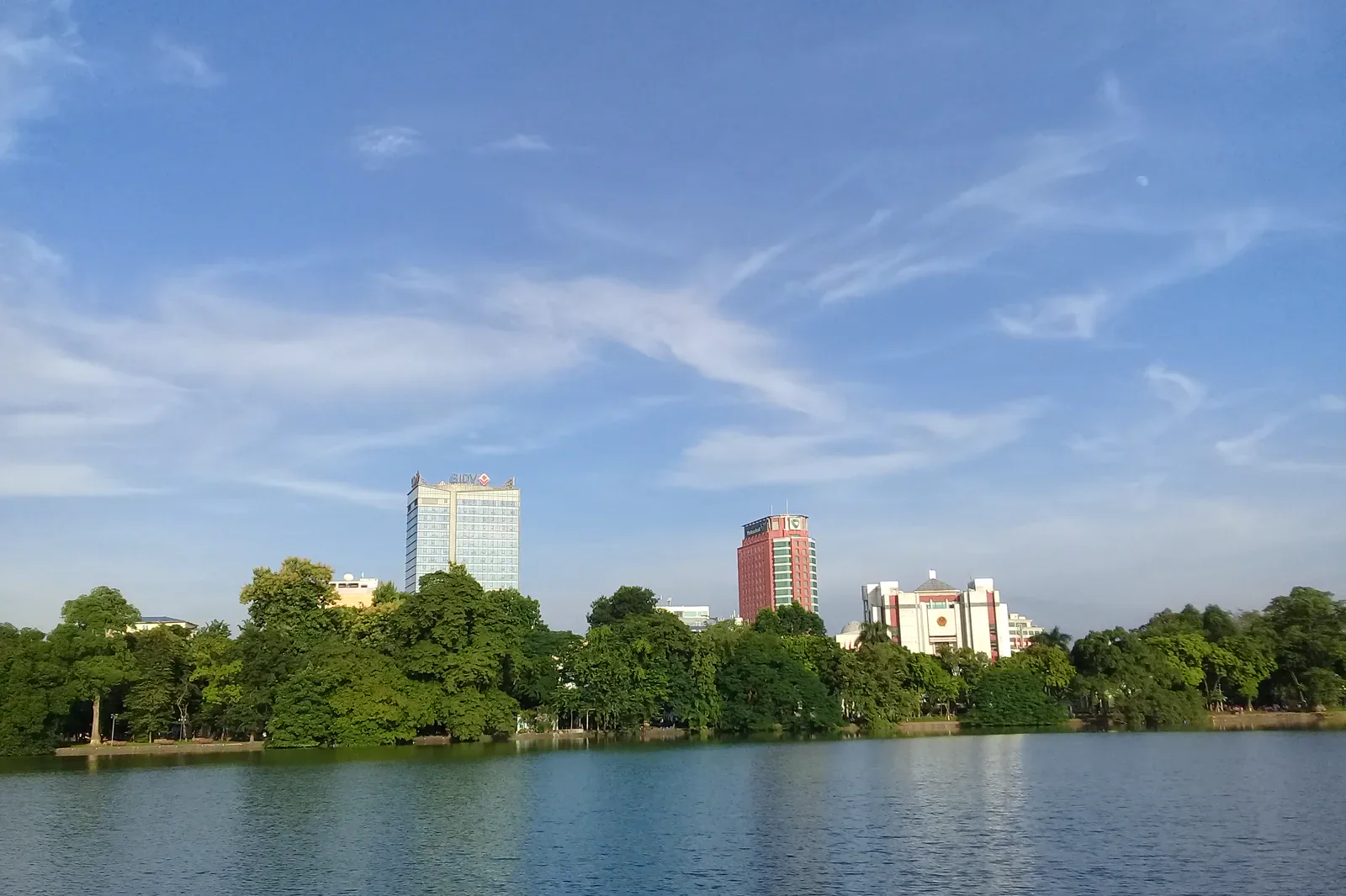 axisHoan Kiem Lake and the Old Quarterlane-to-lake orientation
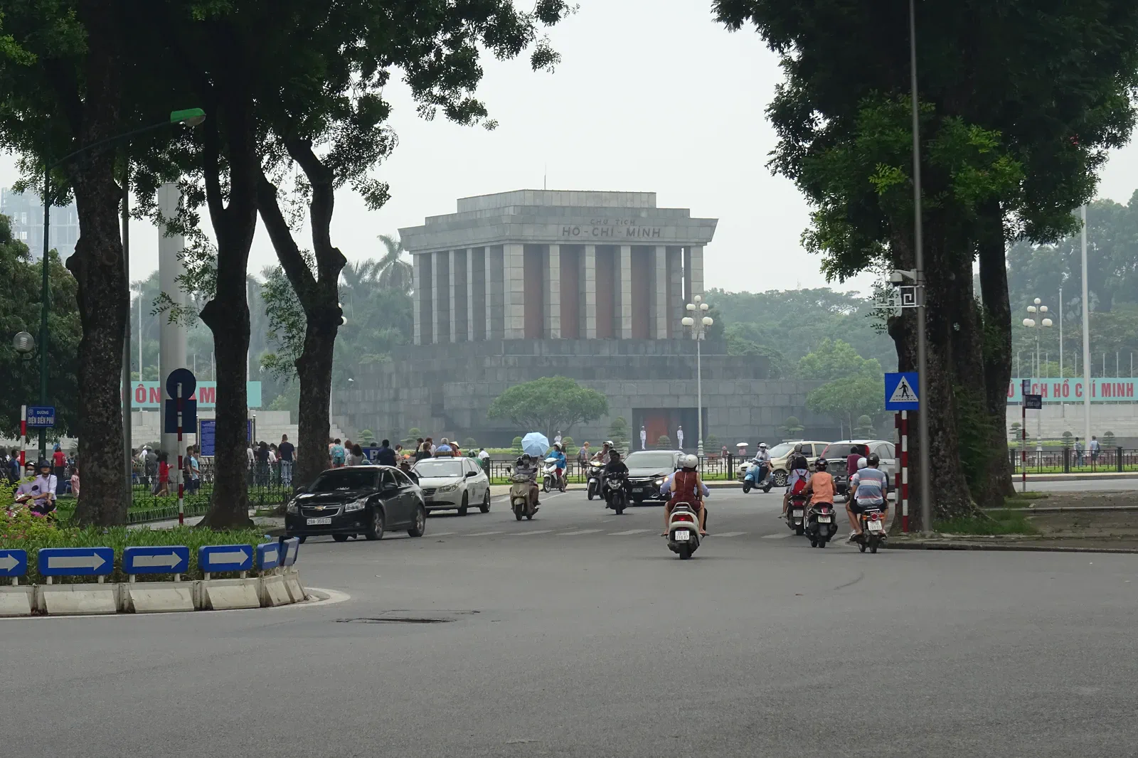 sectionBa Dinh and Thang Long Imperial Citadelcivic power and archaeological strata
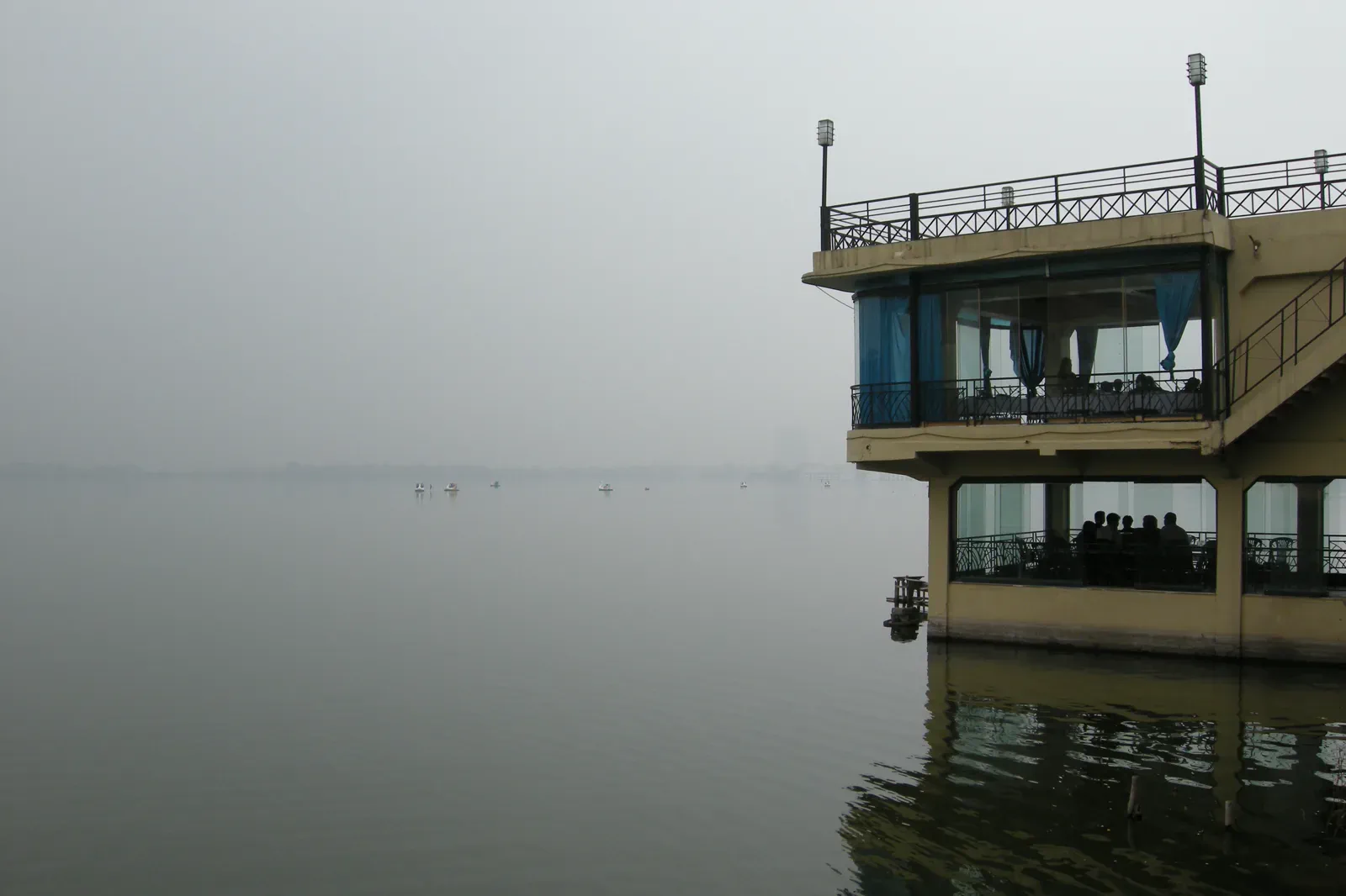 tideWest Lake and Truc Bachwaterline and neighborhood pause
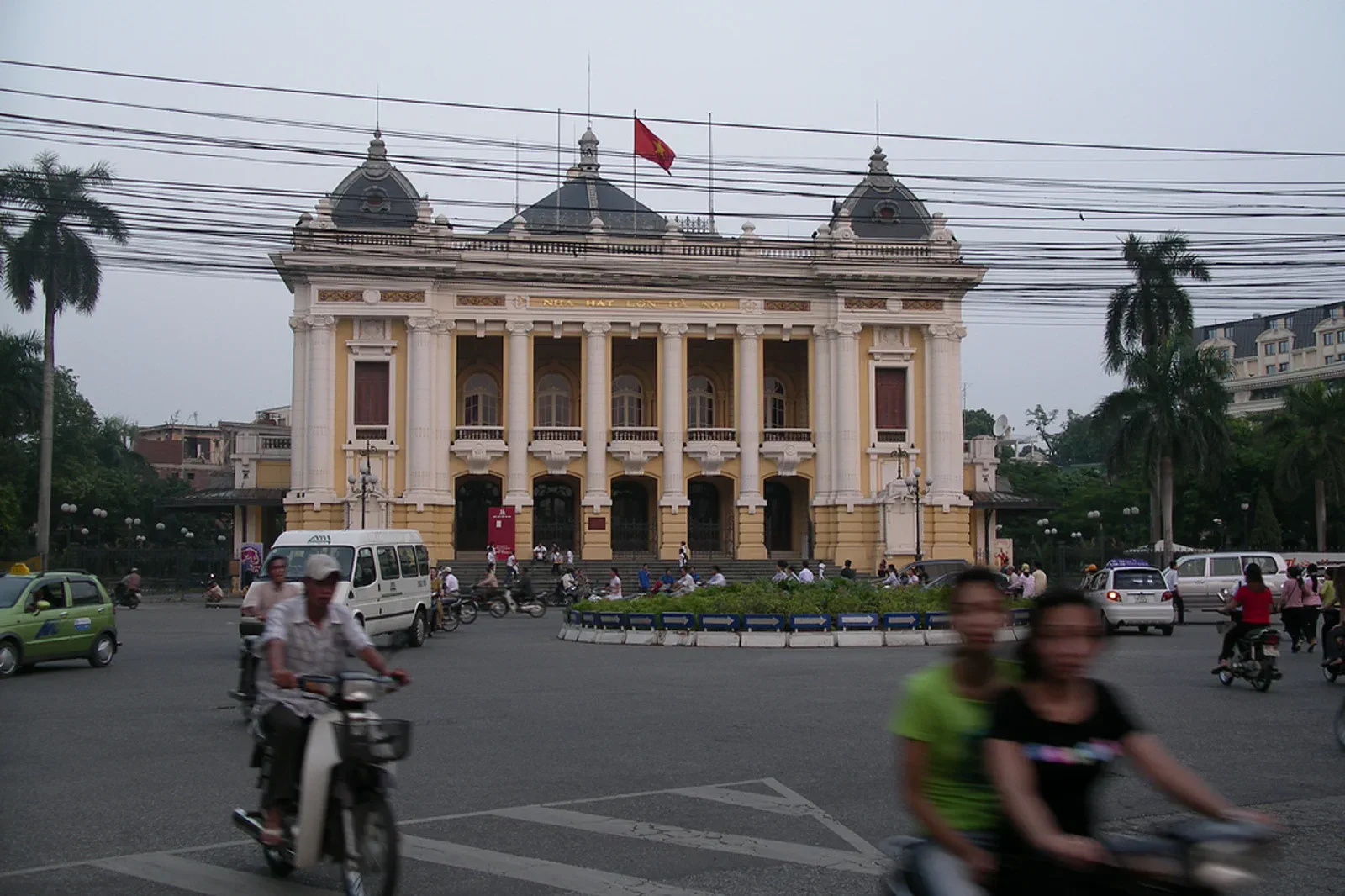 zineFrench Quarter and Hanoi Opera Housecolonial facade to performance room
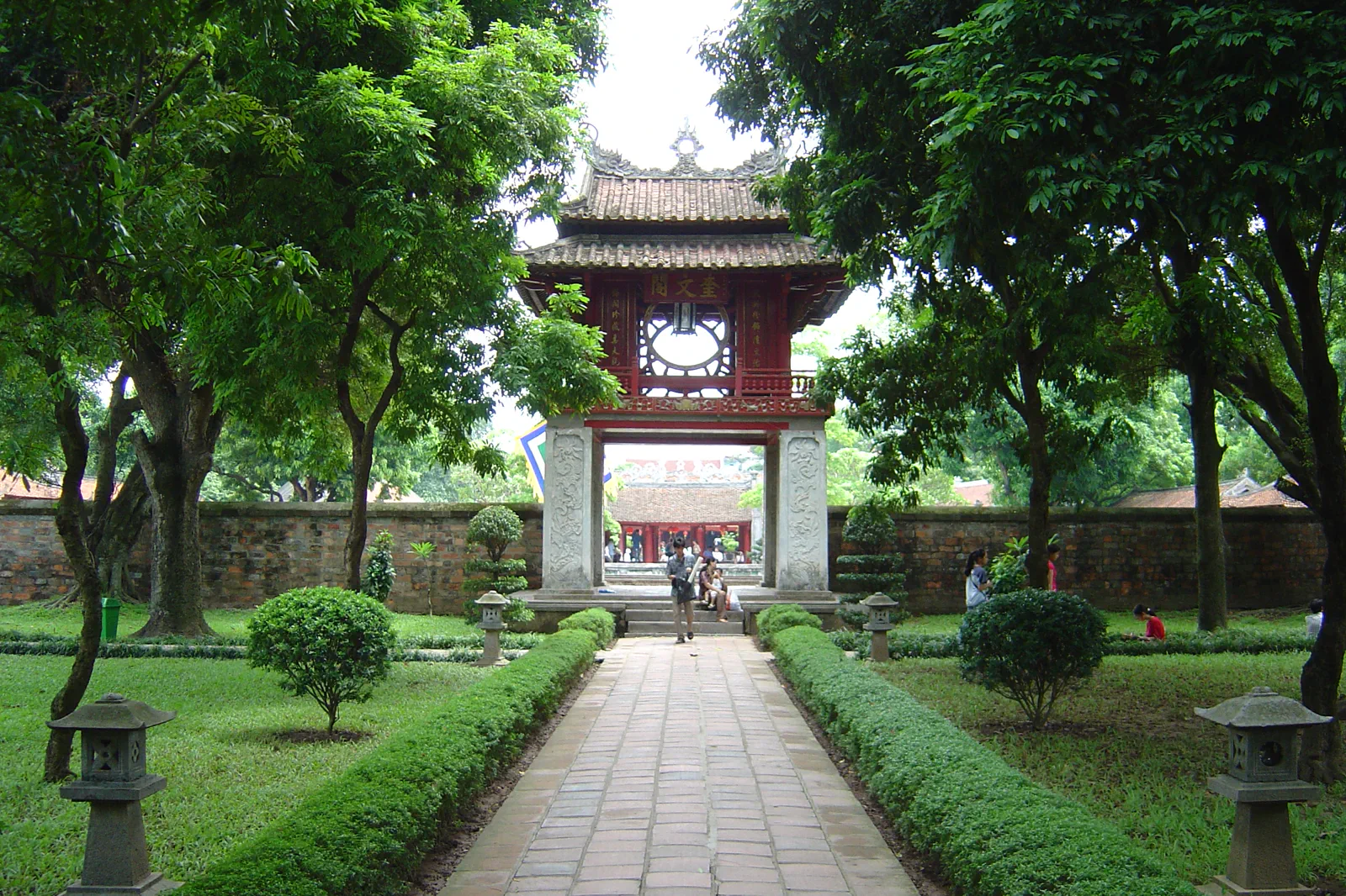 docketVan Mieu and the Museum Quarterscholarship, objects and quiet courtyards
Official sources and photo credits
Planning facts and image licenses were reviewed on 31 August 2026. Schedules, access, tickets, weather and operator terms change; verify directly before travel.
- Vietnam Tourism — Ha Noi.
- Vietnam Tourism — Explore the Old Quarter.
- UNESCO — Central Sector of the Imperial Citadel of Thang Long.
- Hanoi People’s Committee — heritage and scenic sites.
- Hanoi Culture and Sport — Temple of Literature visitor information.
- Ho Hoan Kiem.jpg — Trung geo, Public domain. Resized, display-cropped and converted to WebP; no other material edits.
- Ho Chi Minh Mausoleum in Hanoi.jpg — Christophe95, CC BY-SA 4.0. Resized, display-cropped and converted to WebP; no other material edits.
- Hanoi, Vietnam, West Lake.jpg — Vyacheslav Argenberg, CC BY 4.0. Resized, display-cropped and converted to WebP; no other material edits.
- Hanoi-opera house.jpg — Davit et Magalie, CC BY 2.0. Resized, display-cropped and converted to WebP; no other material edits.
- Long Biên Bridge, Hanoi, Vietnam (28240783342).jpg — cloud.shepherd, CC BY 2.0. Resized, display-cropped and converted to WebP; no other material edits.
- Hanoi Temple of Literature.jpg — Chuoibk at English Wikipedia, CC BY-SA 3.0. Resized, display-cropped and converted to WebP; no other material edits.