Vietnam follow the curve, not a checklist.
Build the trip as a geographic argument. Fourteen complete hubs separate city walking, highland roads, heritage thresholds, marine forecasts, cave permits and delta tides before they become one overloaded itinerary.
Choose one regional clock.
Northern winter, central rain, southern thunderstorms and island sea conditions do not obey one national “best season.”
Protect identity-bound transport.
Flights, trains, regulated cave programs and named boats deserve confirmed operators, stations, ports and cancellation rules.
Keep living places alive.
Markets, temples, farms, villages and memorial landscapes require consent and context, not a camera-first route.
Lakes, karst, highland roads and river approaches
The north changes scale quickly. Separate Hanoi walking chapters from mountain road days, regulated bays and conservation landscapes.
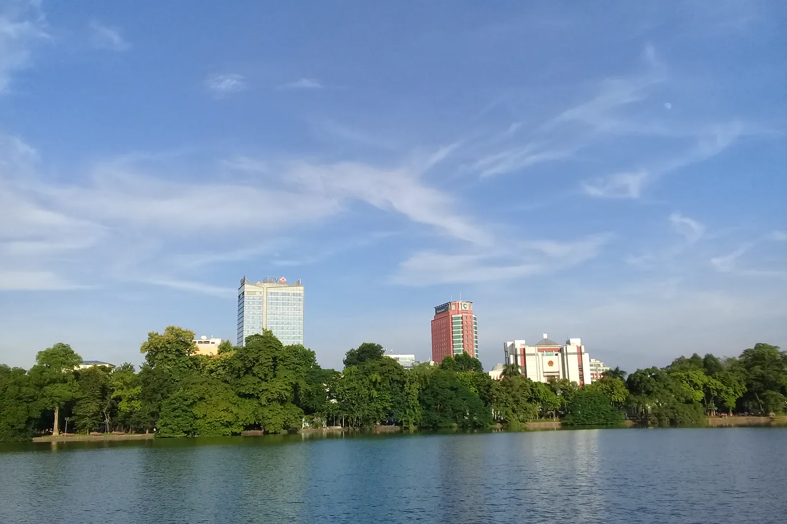
01Hanoi
Hanoi rewards a layered plan.
- Stay
- Stay near a practical Hoan Kiem or Ba Dinh transport link, but choose a quiet side street…
- Logic
- Noi Bai Airport is outside the central districts and traffic can make a short map distance…
 02
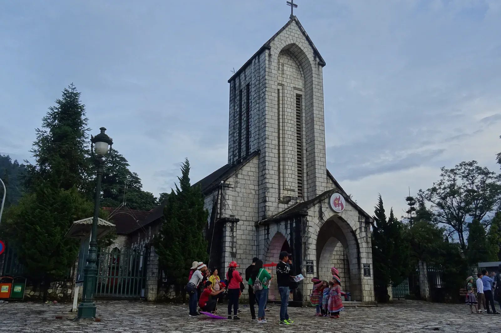
02Sapa and the Northwest Highlands
Sapa is a mountain base, not a single viewpoint.
- Stay
- Use central Sapa for transport convenience or a quieter valley base for village access,…
- Logic
- Lao Cai rail or road arrivals still require a separate mountain transfer to Sapa.
 03
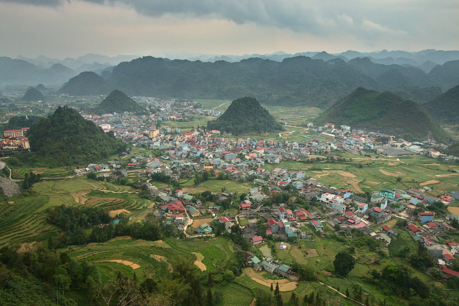
03Ha Giang Karst Plateau
Ha Giang is a road landscape organized around the Dong Van Karst Plateau UNESCO Global Geopark.
- Stay
- Use Ha Giang City as a practical start, then choose overnight bases according to the…
- Logic
- The plateau is reached by long road transfer from Hanoi or another northern base.
 04
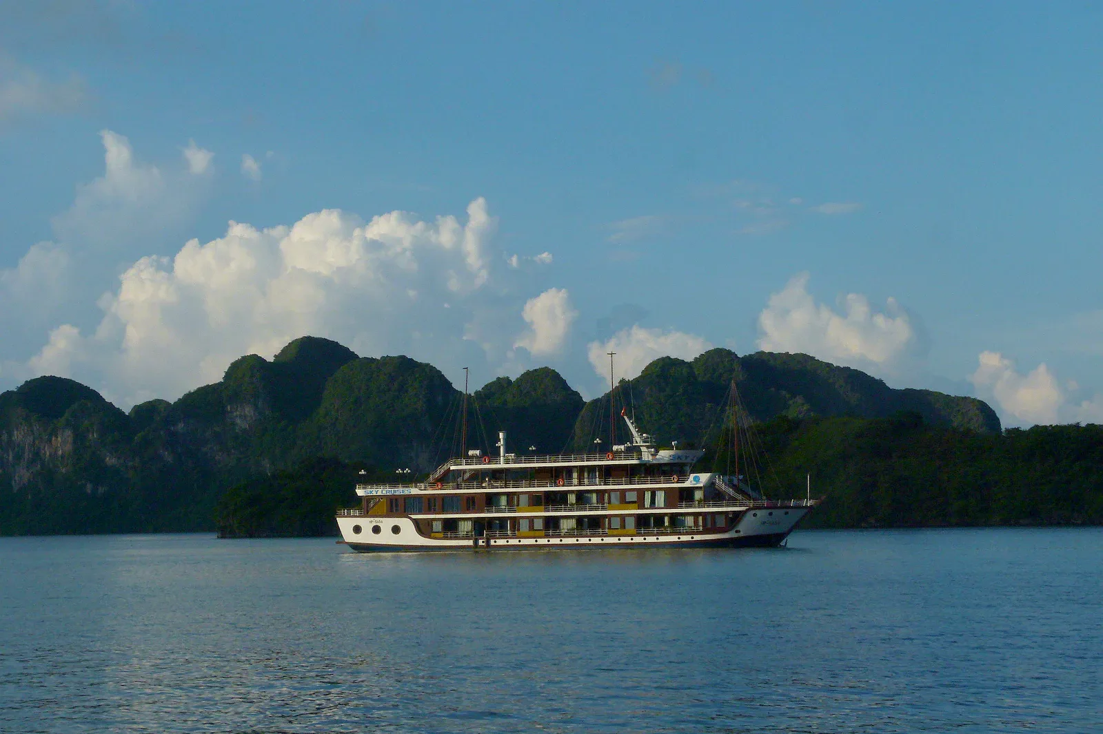
04Ha Long and Cat Ba
Ha Long Bay and Cat Ba are one maritime karst landscape but not one interchangeable tour.
- Stay
- Choose either a Ha Long port base or Cat Ba town according to the planned water route.
- Logic
- Road, ferry, cable car and small-boat connections are subject to weather and operator…
 05
05Ninh Binh
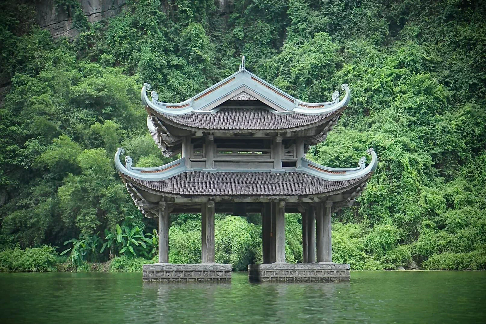
Ninh Binh is a landscape region organized around waterways, limestone towers, rice fields and historical sites.
- Stay
- Base near Tam Coc for walkable food and boat access, or nearer Ninh Binh City for rail and…
- Logic
- Hanoi rail and road arrivals reach different parts of the region.
 06
06Phong Nha–Ke Bang
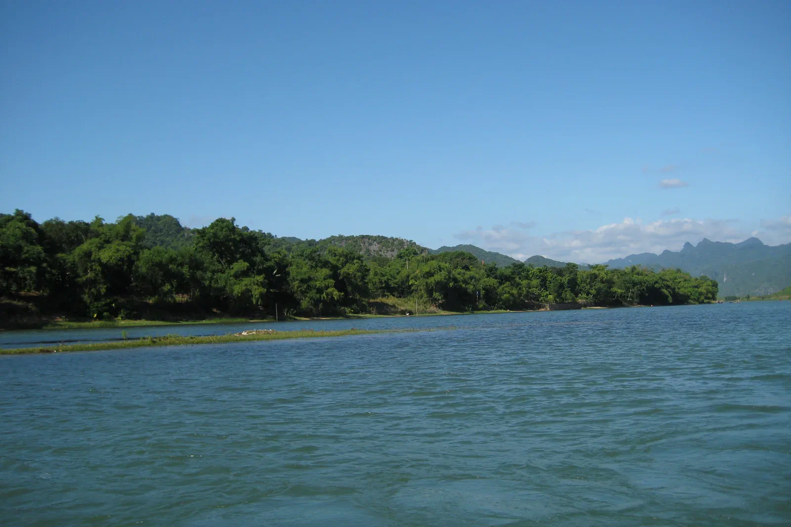
Phong Nha–Ke Bang is a cave and forest system rather than a single attraction.
- Stay
- Use Phong Nha village for accessible caves and day programs, or arrange an official…
- Logic
- Rail, airport, bus and road transfers converge through Dong Hoi and Phong Nha with…
Heritage rain, cave country, coast and highland cultivation
Central routes share a long coast but not one weather system. Rail, road, flood, marine and mountain conditions need separate clocks.
 01
01Hue
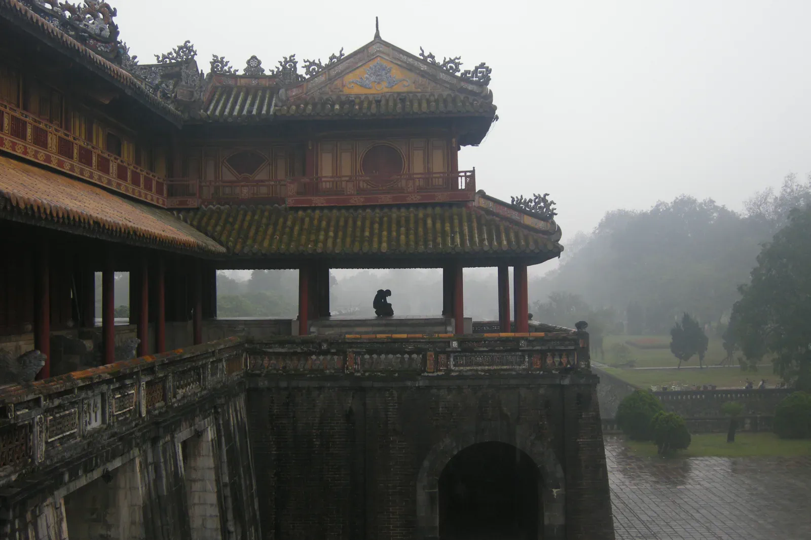
Hue works best as a sequence of related landscapes rather than a checklist of monuments.
- Stay
- Base on the south bank for walkable access to the Citadel, riverfront and central food…
- Logic
- Keep the central city on foot or by short local ride, then use a confirmed taxi, private…
 02
02Da Nang & Hoi An
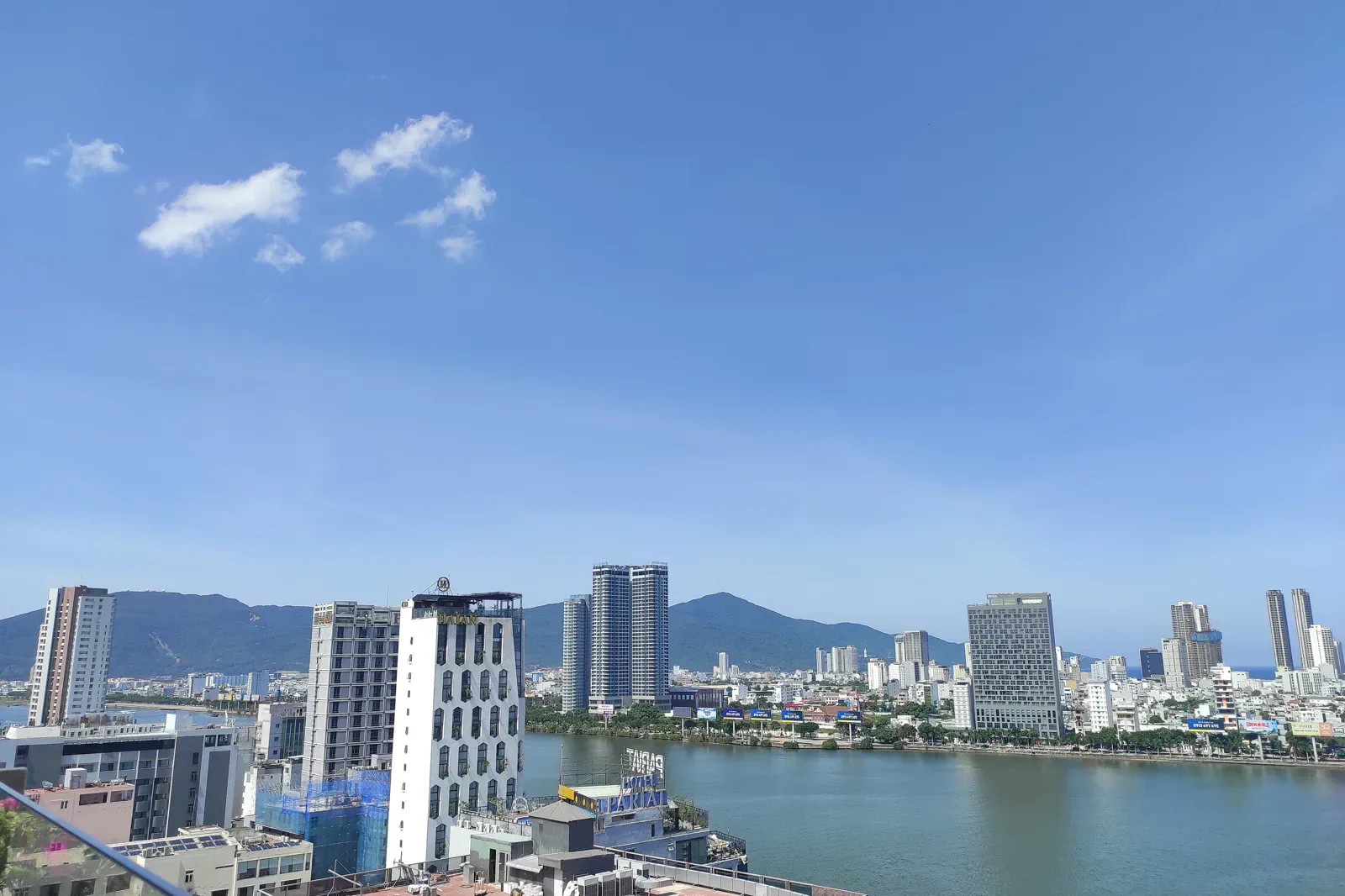
Da Nang and Hoi An share an airport corridor but not one travel rhythm.
- Stay
- Use Da Nang for beach, city and Son Tra access; use Hoi An when the old town, countryside…
- Logic
- Build from the Da Nang airport and city road network, then protect the longer Hoi An and…
 03
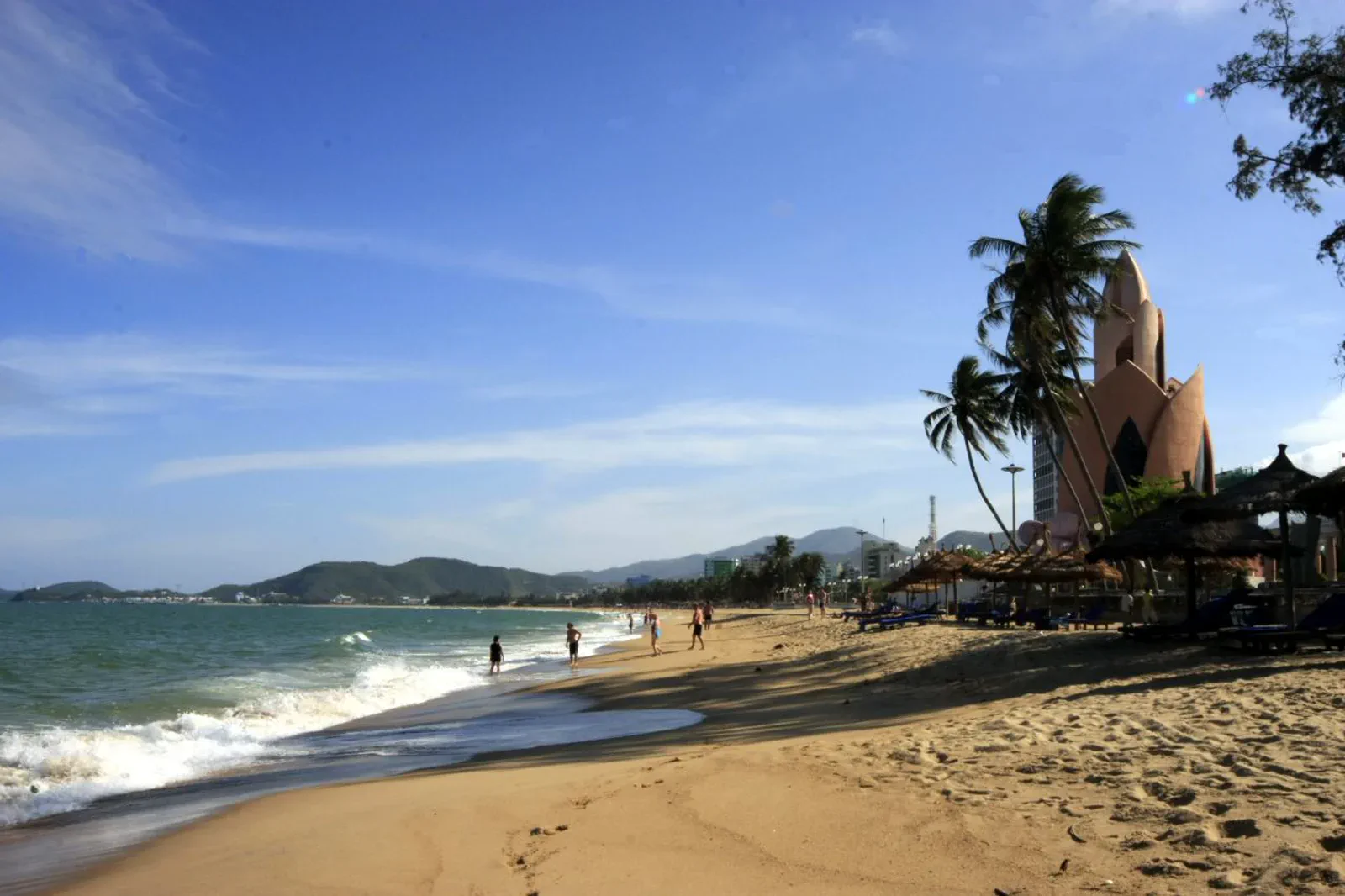
03Nha Trang & Khanh Hoa Coast
Nha Trang and Khanh Hoa combine a walkable beach city, Cham worship, island operators, a protected bay, airport-linked Cam Ranh and inland waterfalls.
- Stay
- Stay in central Nha Trang for transport, services and a walkable beach base; choose Cam…
- Logic
- Use flights, trains and road transfers to reach the coast, then name the exact pier,…
 04
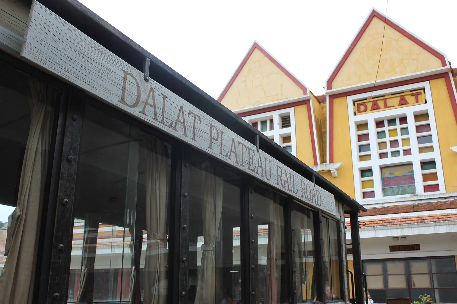
04Da Lat & Central Highlands
Da Lat is a gateway to a larger highland story: lakes and railway, coffee and farm work, Langbiang and K’Ho landscapes, Bidoup forest, Buon Ma Thuot waterfalls and Yok Don dry forest.
- Stay
- Use Da Lat as the comfortable highland base for city, lake, railway, farm and nearby…
- Logic
- Protect altitude and road time.
Metropolitan heat, dunes, delta channels and island seas
The south shifts from urban crossings to tidal wetlands and open-water transfers. Protect the final boat, road or flight before adding another stop.
 01
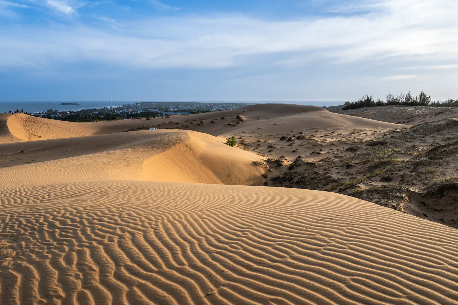
01Mui Ne & Binh Thuan
Mui Ne and the wider Binh Thuan coast are not only a resort strip.
- Stay
- Use Ham Tien or Mui Ne as the first mainland base, then add Phan Thiet, the Ta Cu coast or…
- Logic
- Solve the mainland arrival through Phan Thiet and Muong Man first; keep a weather buffer…
 02
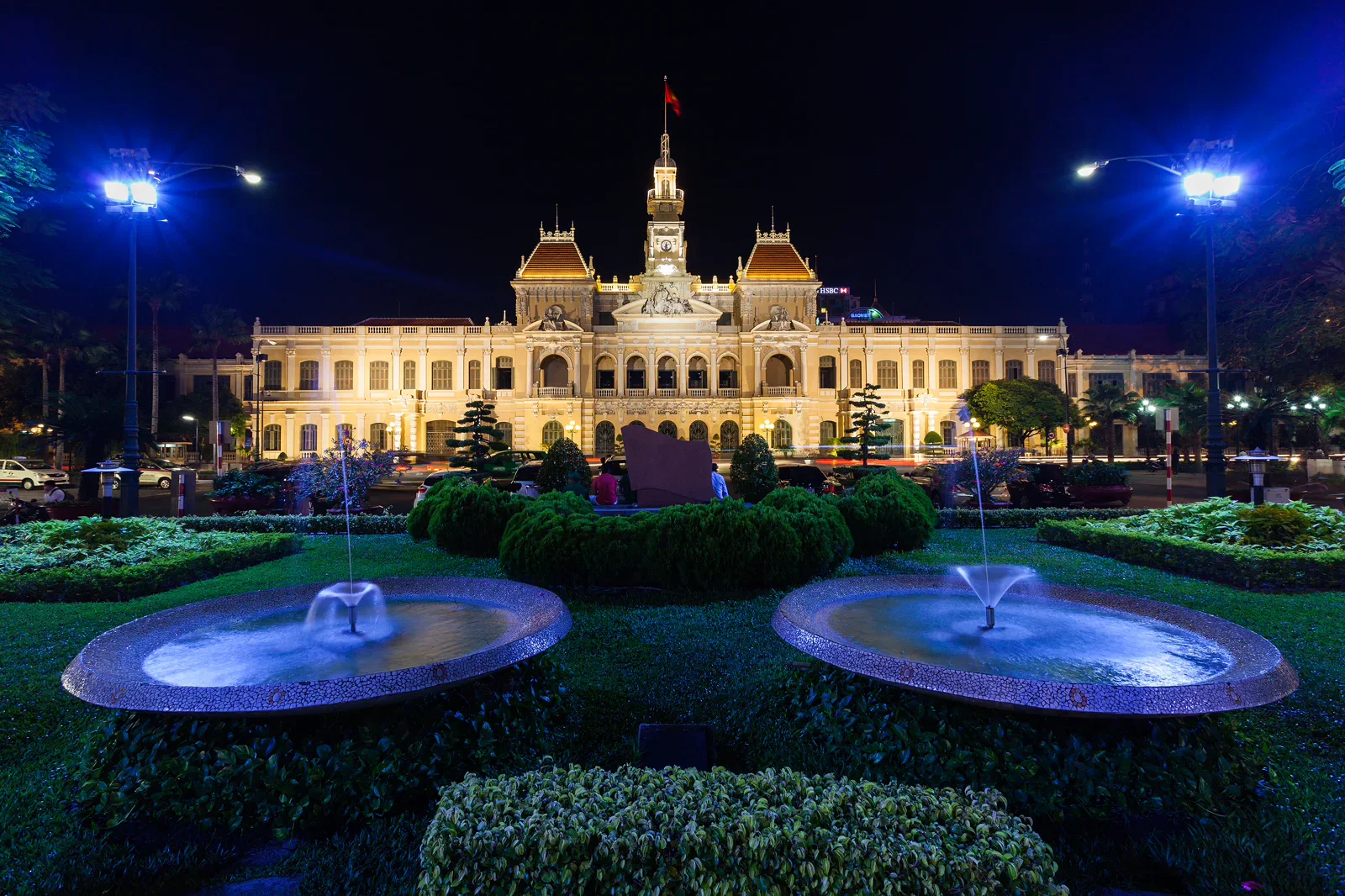
02Ho Chi Minh City
Ho Chi Minh City is easiest to understand as several overlapping movement systems: the compact District 1 core, Chợ Lớn’s wholesale and worship lanes, the new Thủ Thiêm–Thảo Điền riverfront, the distant Củ Chi tunnels,…
- Stay
- District 1 works for the first walk; District 3, Bình Thạnh or Thảo Điền can reduce…
- Logic
- Use walking only inside a deliberate pocket, then connect pockets by official transit or…
 03
03Mekong Delta
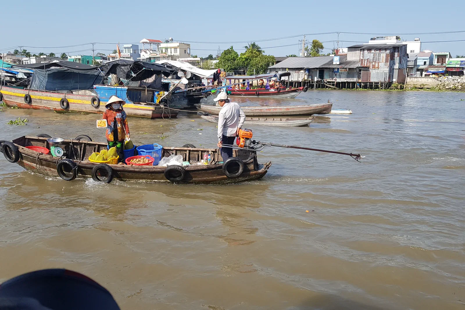
The Mekong Delta is best planned as a chain of working water landscapes rather than one interchangeable boat tour.
- Stay
- Use Cần Thơ for a first river base, then add Bến Tre, Châu Đốc, Sa Đéc or Cà Mau when the…
- Logic
- Combine long-distance bus or road legs with local ferries and licensed boats; water level,…
 04
04Phu Quoc & Southern Islands
Phu Quoc is not one beach.
- Stay
- Base in Dương Đông or the south only when that matches the day’s piers; choose the north…
- Logic
- Use the island airport or verified mainland ferry connection for Phu Quoc, then treat…
Match the vehicle to the geography.
Verify current schedules on the named official operator. A map line does not prove a useful same-day connection.
Use stations as anchors
The north–south railway can link Hanoi, Ninh Binh, Hue, Da Nang and Ho Chi Minh City, but each exact train, berth, station and arrival hour must be checked.
Bridge only earned distance
Flights can protect a north–central–south route. Airport transfer, terminal and weather margin belong to the ticket.
Separate city from mountain
Highland loops, national parks and rural corridors require daylight, capable drivers, weather checks and realistic fuel or rest stops.
Name the port and operator
Bay cruises, river boats, ferries and island transfers run on different permits, sea states, tides and return contracts.
Do not reduce Vietnam to one monsoon.
Temperature, fog, mountain visibility, rainfall and road stability change by elevation as well as month.
Coastal rain, flood, heat, cave water and mountain weather can interrupt different routes on the same day.
Heat, thunderstorms, delta water, tide and open-sea conditions shape urban, wetland and island plans differently.
Vietnam FAQ
How much time does a first Vietnam route need?
Two focused weeks can connect one northern, central and southern argument. Three weeks gives weather and transfer buffers. A short trip should remain in one region.
Should I book every transfer before arrival?
Secure identity-bound flights, trains and regulated expeditions first. Keep local road and boat days flexible enough for current weather and operator checks.
Does one season work for all of Vietnam?
No. Northern highlands, central coast and southern delta have different temperature, rain, flood and sea patterns. Check each region rather than applying one national label.
Official sources and photo credits
Country planning and image licenses were reviewed on 31 August 2026. Immigration, transport, weather, park, marine and operator rules change; verify directly before travel.
- Vietnam Tourism — official destinations and regional planning.
- Vietnam Immigration Department — official e-visa portal.
- Vietnam Railways — official passenger booking and schedules.
- Airports Corporation of Vietnam — official airport directory.
- National Center for Hydro-Meteorological Forecasting — official forecasts and warnings.
- Vietnam Tourism — responsible travel guidance.
- UNESCO World Heritage Centre — Vietnam properties and conservation records.
- Ho Hoan Kiem.jpg — Trung geo, Public domain. Resized, display-cropped and converted to WebP; no other material edits.
- Sapa Church.jpg — Christophe95, CC BY-SA 4.0. Resized, display-cropped and converted to WebP; no other material edits.
- Quản Bạ, Vietnam - 2.jpg — Benjamin Smith, CC BY-SA 4.0. Resized, display-cropped and converted to WebP; no other material edits.
- Ha Long bay.jpg — Shyamal, CC BY-SA 4.0. Resized, display-cropped and converted to WebP; no other material edits.
- Trang An, Ninh Binh.jpg — GieohatchoHaiLy, CC0. Resized, display-cropped and converted to WebP; no other material edits.
- Phongnhakebang1.jpg — Genghiskhanviet, Public domain. Resized, display-cropped and converted to WebP; no other material edits.
- Meridian Gate, Hue Imperial City — Vyacheslav Argenberg, CC BY 4.0. Resized, display-cropped and converted to WebP; no other material edits.
- Han River, Da Nang — Somerset999, CC BY-SA 4.0. Resized, display-cropped and converted to WebP; no other material edits.
- Beach at Nha Trang, Vietnam — Bruce Tuten, CC BY 2.0. Resized, display-cropped and converted to WebP; no other material edits.
- Da Lat Railway Station — Lars Curfs (Grashoofd), CC BY-SA 3.0 nl. Resized, display-cropped and converted to WebP; no other material edits.
- Mui Ne sand dunes — Monster4711, CC BY-SA 3.0. Resized, display-cropped and converted to WebP; no other material edits.
- City Hall, Ho Chi Minh City — Diego Delso, CC BY-SA 3.0. Resized, display-cropped and converted to WebP; no other material edits.
- Floating market in Can Tho — Andre Hospers, CC BY 4.0. Resized, display-cropped and converted to WebP; no other material edits.
- Sunset on Long Beach — Alexey Komarov, CC BY-SA 4.0. Resized, display-cropped and converted to WebP; no other material edits.