Nha Trang & Khanh Hoa Coast Plan the sea only after the forecast agrees.
Nha Trang and Khanh Hoa combine a walkable beach city, Cham worship, island operators, a protected bay, airport-linked Cam Ranh and inland waterfalls. The useful route is a compass: city, culture, sea, transfer, land and conservation each need a different decision.
- Useful stay
- Stay in central Nha Trang for transport, services and a walkable beach base; choose Cam Ranh–Bai Dai only when a…
- Transfer logic
- Use flights, trains and road transfers to reach the coast, then name the exact pier, operator, return buffer and…
Open the place at the right scale.
Each card solves a different transport, access or conduct problem. None is a placeholder.
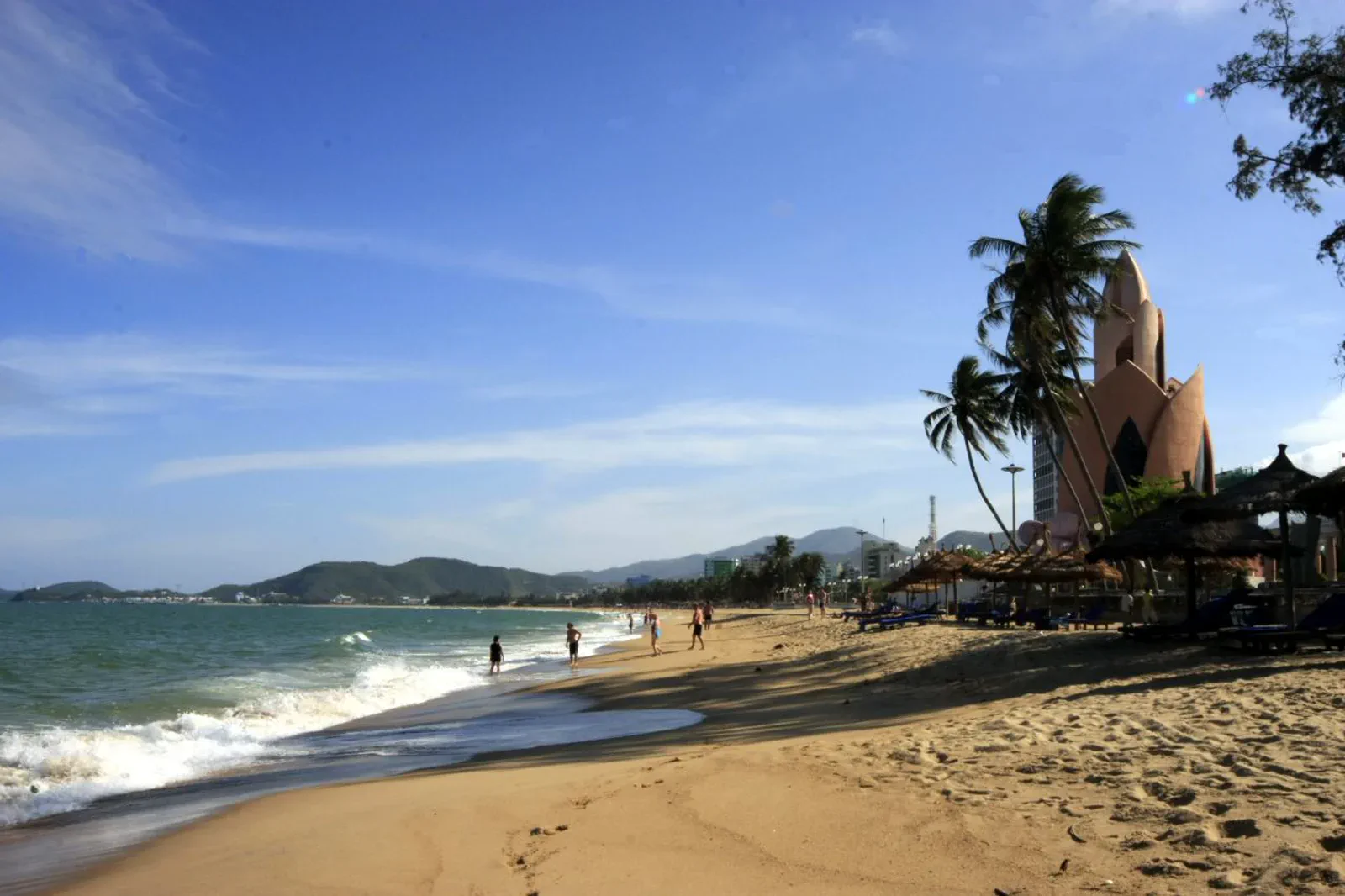
01Nha Trang City & Tran Phu Beach
Use Nha Trang’s central beach, promenade, seafood and city services as a practical base chapter with real swimming and heat checks.
Open the field guide → 02
02Po Nagar Cham Towers & Hon Chong
Pair Po Nagar’s living Cham and Mother Goddess traditions with Hon Chong’s layered coastal geology for a compact north-city chapter.
Open the field guide →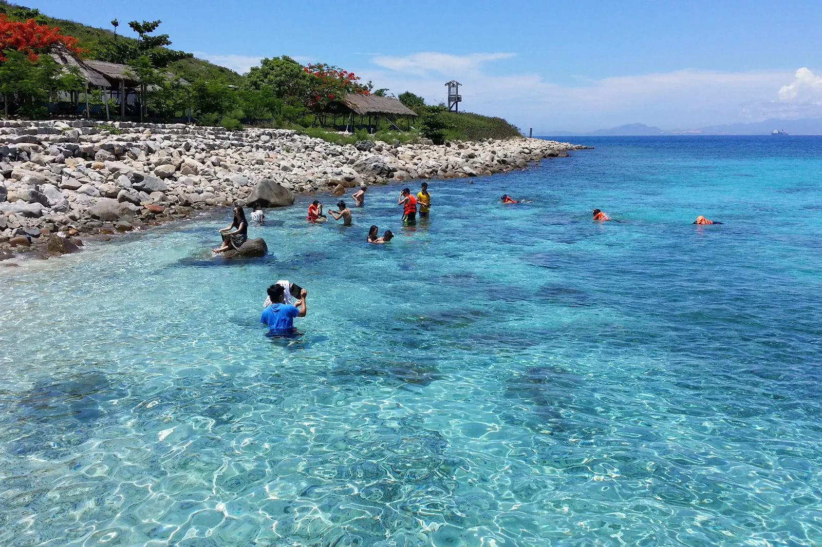 03
03Hon Mun Island Marine Route
Plan Hon Mun and nearby island waters as a weather-led marine day with licensed operators, reef conduct and a protected return buffer.
Open the field guide →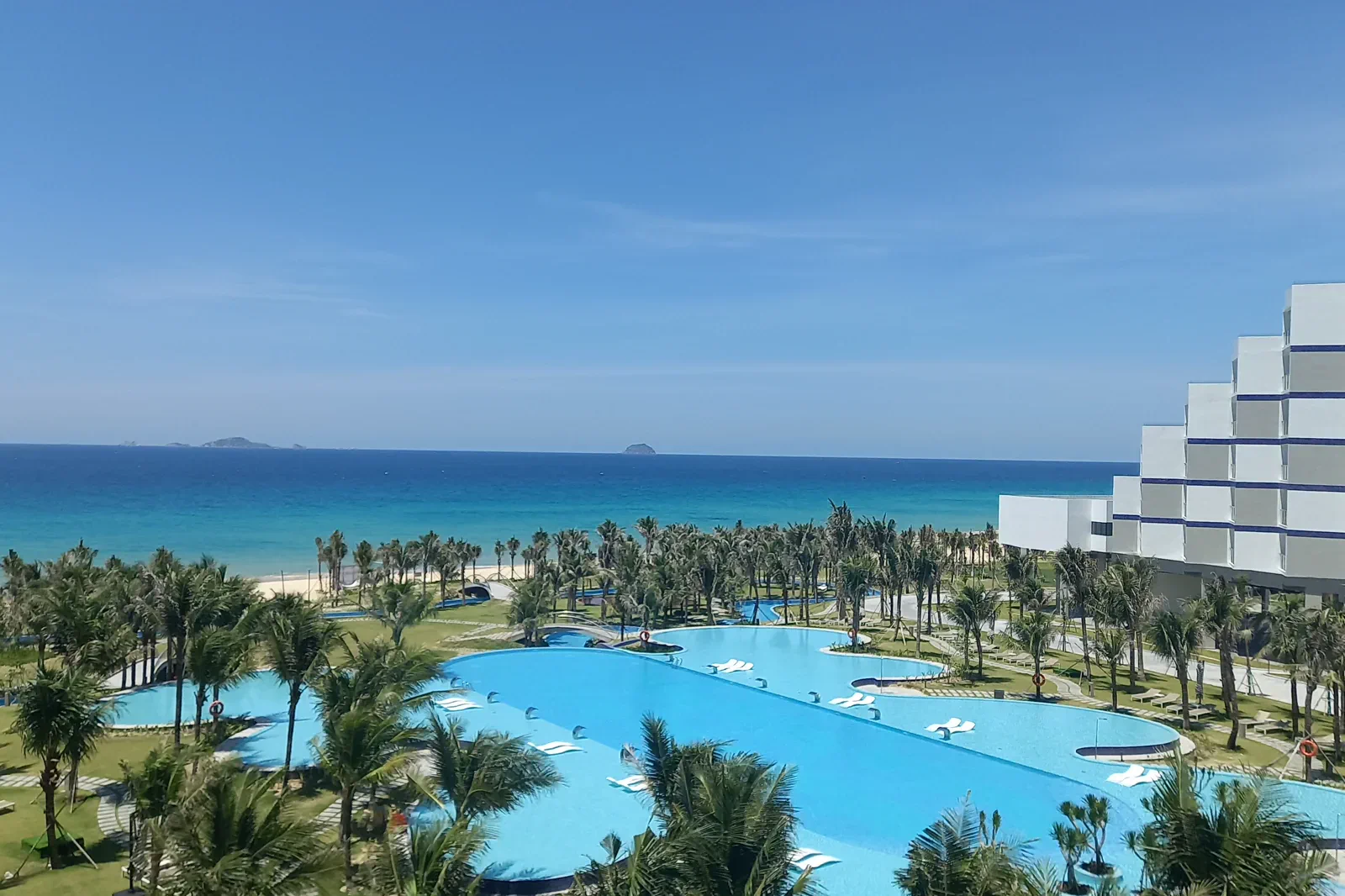 04
04Cam Ranh & Bai Dai Coast
Use Cam Ranh and Bai Dai as an airport-linked coast chapter for quiet beach stays, arrival logistics and a different pace from central Nha Trang.
Open the field guide → 05
05Ba Ho Waterfalls & Ninh Hoa
Follow Ba Ho’s stream, forest and three-pool landscape as an inland contrast to Nha Trang’s beach, with rock, water and turn-back decisions visible.
Open the field guide →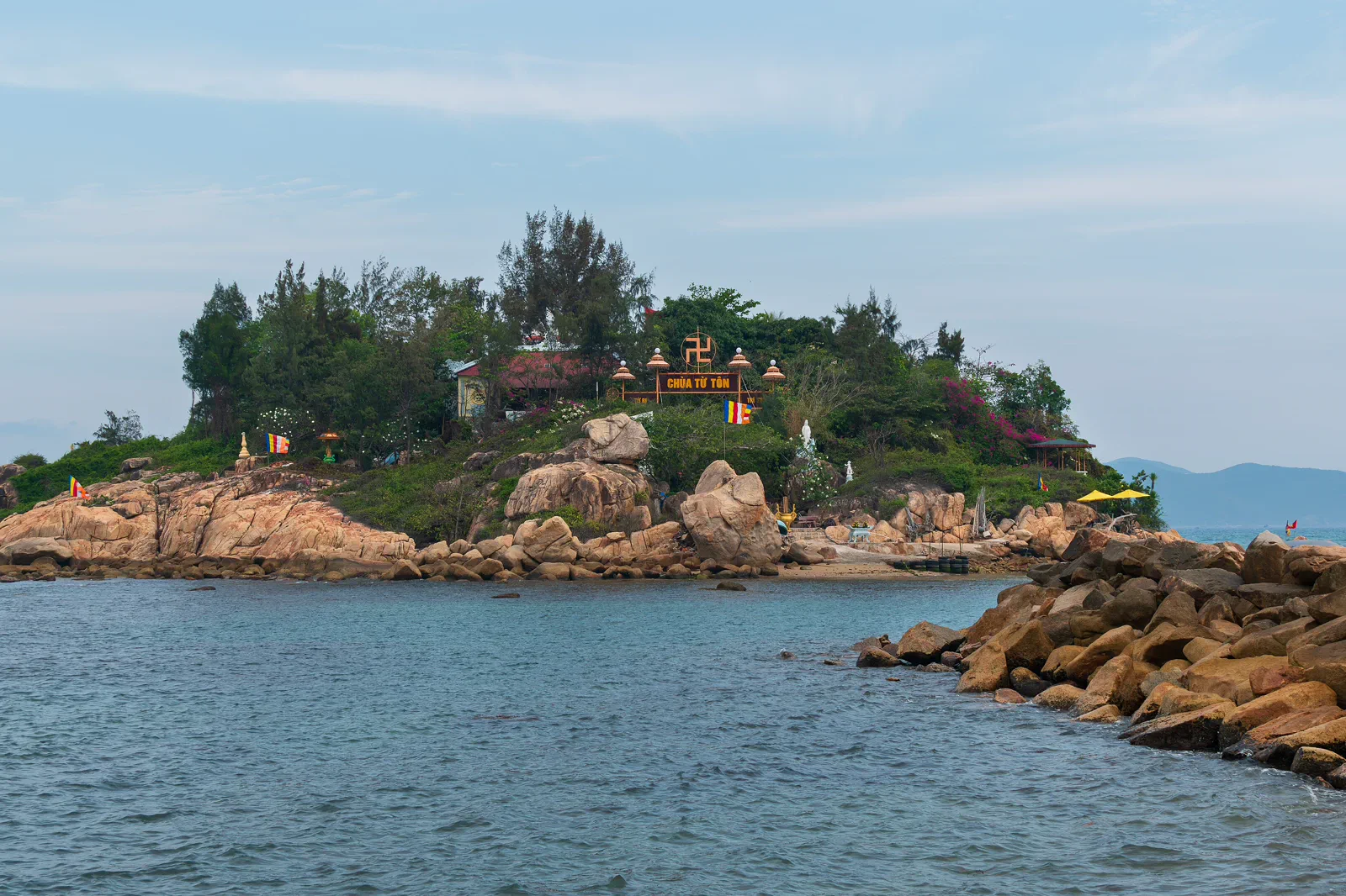 06
06Nha Trang Bay Conservation & Island Transfer
A practical conservation chapter for choosing a bay route, checking protected zones, selecting an operator and protecting the return transfer.
Open the field guide →Six chapters, six different conditions.
Distance, weather, sacred space, working neighborhoods and protected landscapes cannot share one generic checklist.
Nha Trang City & Tran Phu Beach
Flights, trains and buses reach the city, while taxis and local rides handle the short urban moves. Airport transfer time, traffic and beach crowding still need a margin.
Keep the boundaryProtect the public coast: swim only in permitted areas, obey lifeguards and flags, keep clear of fishing gear and leave no plastic or food waste on the beach.Po Nagar Cham Towers & Hon Chong
Both sites are reachable by local ride from central Nha Trang, but Po Nagar’s stairs and Hon Chong’s uneven rock require slower movement and weather awareness.
Keep the boundaryProtect worship, sculpture and rock: dress modestly, ask before photographing rituals, do not touch carvings and stay off fragile or wet boulders.Hon Mun Island Marine Route
Confirm the exact departure port, operator, vessel, life-jacket policy, sea-state cancellation terms and return time. Speedboats are not interchangeable with wooden boats.
Keep the boundaryProtect coral and passengers: wear a secured life jacket when instructed, remain seated underway, never stand on coral, touch wildlife, feed fish or remove shells.Cam Ranh & Bai Dai Coast
Confirm the hotel’s airport transfer, public-road access, meals, freshwater and onward transport. Resort areas can be visually close but practically far apart.
Keep the boundaryRespect public shore, resort rules and restricted facilities; do not enter military, port or construction areas, and do not describe a private beach as universally accessible.Ba Ho Waterfalls & Ninh Hoa
The site lies north of Nha Trang near the national road, but the final approach and stream walk are not a city stroll. Use a confirmed driver, sturdy shoes and a weather check.
Keep the boundaryProtect the stream and visitors: do not litter, carve rock, disturb vegetation or attempt cliff jumps unless the current operator explicitly permits a supervised activity.Nha Trang Bay Conservation & Island Transfer
Start with the exact pier and current bay notice, then compare operator vessel, life jackets, route, cancellation terms, passenger load and return time before paying.
Keep the boundaryProtect the bay boundary: no coral contact, anchoring in prohibited habitat, marine-life feeding, plastic discharge, shell collection or entry into closed zones.Protect the transfer before adding the view.
This is an editorial sequence, not a promise that every activity operates every day.
Nha Trang City & Tran Phu Beach
Start with a morning shoreline read, check the current swimming conditions, move inland for food and shade, then return to the promenade only if weather and crowd levels remain comfortable.
Chapter 02Po Nagar Cham Towers & Hon Chong
Visit Po Nagar before the day becomes crowded, move north or along the coast by safe road, then read Hon Chong from permitted ground without climbing unstable formations.
Chapter 03Hon Mun Island Marine Route
Check the forecast at the pier, board according to crew instruction, enter water only where the operator and protection rules permit, then return with enough time for a missed connection.
Chapter 04Cam Ranh & Bai Dai Coast
Arrive with daylight if possible, settle the transfer and swimming plan, use the beach only within current safety guidance, then protect the next airport, rail or city connection.
Chapter 05Ba Ho Waterfalls & Ninh Hoa
Start at the access point, move along the stream only while footing and water level remain safe, swim only in an explicitly permitted area, and return before rain or darkness.
Chapter 06Nha Trang Bay Conservation & Island Transfer
Check the marine forecast, confirm the protection zone and operator, board safely, follow no-touch reef practice, and return with enough slack for a delayed or canceled boat.
Nha Trang & Khanh Hoa Coast FAQ
How much time should Nha Trang City & Tran Phu Beach receive?
A half day covers the beach and city base; a full day should deliberately include a shaded cultural or food interval.
How much time should Po Nagar Cham Towers & Hon Chong receive?
Allow a half day with time for both interpretation and a quiet pause; do not reduce Po Nagar to a drive-by viewpoint.
How much time should Hon Mun Island Marine Route receive?
Reserve a full flexible day including pier, boat and recovery time; a marine route should never be squeezed between fixed transport connections.
How much time should Cam Ranh & Bai Dai Coast receive?
Use at least one unhurried coast day or an intentional arrival/departure night; it is not an efficient add-on to every Nha Trang itinerary.
How much time should Ba Ho Waterfalls & Ninh Hoa receive?
Allow a half or full day depending on how far the group safely walks; do not set a fixed pool-count as the success metric.
How much time should Nha Trang Bay Conservation & Island Transfer receive?
Use this as a planning session before a marine day, then reserve the whole day for the actual transfer and weather margin.
Official sources and photo credits
Planning facts and image licenses were reviewed on 31 August 2026. Recheck transport, entry, weather, park and operator conditions before travel.
- Vietnam Tourism — Nha Trang city, beaches, islands and transport.
- Khanh Hoa Digital Travel Platform — Nha Trang Bay.
- Khanh Hoa Digital Travel Platform — Po Nagar Cham Towers.
- National Biodiversity Conservation — Nha Trang Bay Nature Reserve.
- Ninh Hoa Government — Ba Ho Ecotourism Area.
- Beach at Nha Trang, Vietnam — Bruce Tuten, CC BY 2.0. Resized, display-cropped and converted to WebP; no other material edits.
- Po Nagar Cham Towers — wileypics, CC BY 2.0. Resized, display-cropped and converted to WebP; no other material edits.
- Hon Mun Island, Nha Trang Bay — Nguyen Hung Vu, CC BY 2.0. Resized, display-cropped and converted to WebP; no other material edits.
- Cam Ranh Sea — GDAE, CC BY-SA 4.0. Resized, display-cropped and converted to WebP; no other material edits.
- Ba Ho Stream, Khanh Hoa — [Tycho], CC BY-SA 3.0. Resized, display-cropped and converted to WebP; no other material edits.
- Hon Do Island from Nha Trang mainland — Dominic Nelson, CC BY-SA 4.0. Resized, display-cropped and converted to WebP; no other material edits.