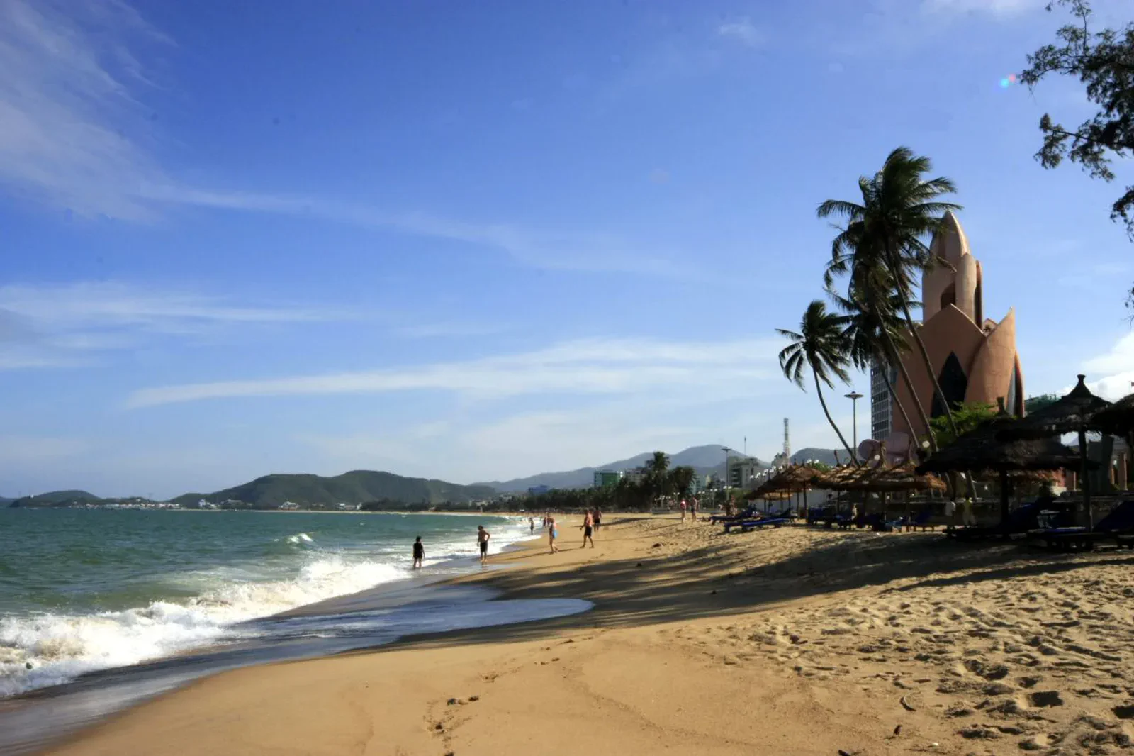
Nha Trang City & Tran Phu Beach The public shoreline.
Use Nha Trang’s central beach, promenade, seafood and city services as a practical base chapter with real swimming and heat checks.
Flights, trains and buses reach the city, while taxis and local rides handle the short urban moves. Airport transfer time, traffic and beach crowding still need a margin.
Start with a morning shoreline read, check the current swimming conditions, move inland for food and shade, then return to the promenade only if weather and crowd levels remain comfortable.
Protect the public coast: swim only in permitted areas, obey lifeguards and flags, keep clear of fishing gear and leave no plastic or food waste on the beach.
Keep the local logic visible.
Nha Trang’s coast is public everyday space, resort frontage, exercise ground and working shoreline at once. A useful city page shows where those uses meet and where a visitor should slow down.
Let sequence do the editing.
Start with a morning shoreline read, check the current swimming conditions, move inland for food and shade, then return to the promenade only if weather and crowd levels remain comfortable.
Choose the base
Confirm hotel-to-beach access, arrival transfer and a shaded recovery option before turning the city into an all-day outdoor plan.
Read the shore
Observe exercise, families, fishermen, vendors and public facilities without blocking paths or treating ordinary life as a staged scene.
Make the water call
Check flags, lifeguards, tide, wind and marine forecast; a swim is optional and should never be forced by the itinerary.
Close in the city
Use food, museum or café time to recover from sun, then keep any evening shoreline walk on well-lit public routes.
Three weak points to solve.
Conditions change faster than an editorial page. Verify the named official source, actual operator and local weather close to travel.
Swimming status
Lifeguard coverage, warning flags, currents and waves change; never rely on yesterday’s beach conditions.
Sun and heat
South-central sun can exhaust visitors quickly; schedule shade, water and a shorter exposure window.
Urban traffic
Coastal roads and scooters remain active beside the promenade; use marked crossings and keep belongings secure.
Protect the public coast: swim only in permitted areas, obey lifeguards and flags, keep clear of fishing gear and leave no plastic or food waste on the beach.
Nha Trang City & Tran Phu Beach FAQ
How much time should Nha Trang City & Tran Phu Beach receive?
A half day covers the beach and city base; a full day should deliberately include a shaded cultural or food interval.
Can I combine Nha Trang City & Tran Phu Beach with another major chapter?
Combine with Po Nagar and Hon Chong for a north-city culture day, but keep island departures and Ba Ho as separate transfer contracts.
What should I verify before leaving?
Check local beach flags, lifeguard availability, marine forecast, traffic and current city access notices before swimming.
Choose the next chapter by purpose.
Return to the hub before joining distant branches into one day.
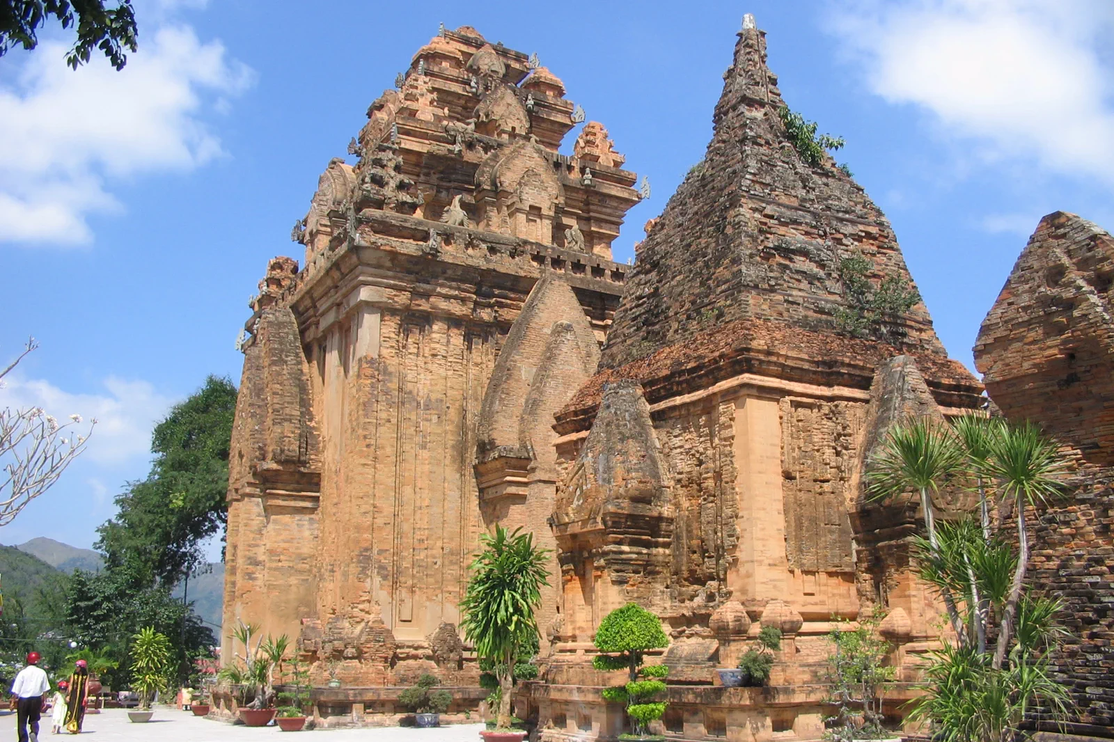 compassPo Nagar Cham Towers & Hon ChongMother of the land, stone of the bay
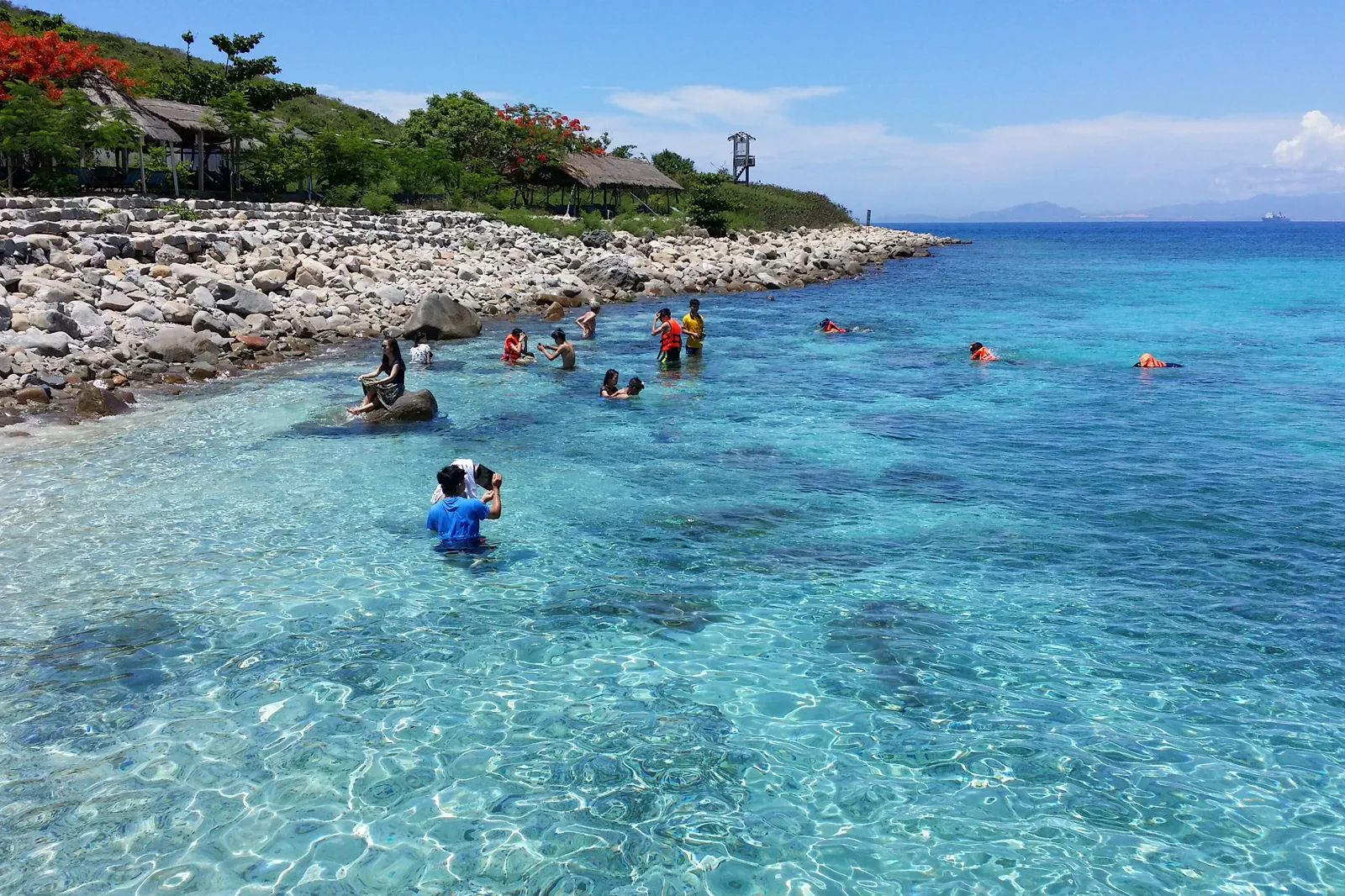 expeditionHon Mun Island Marine RouteReef before recreation
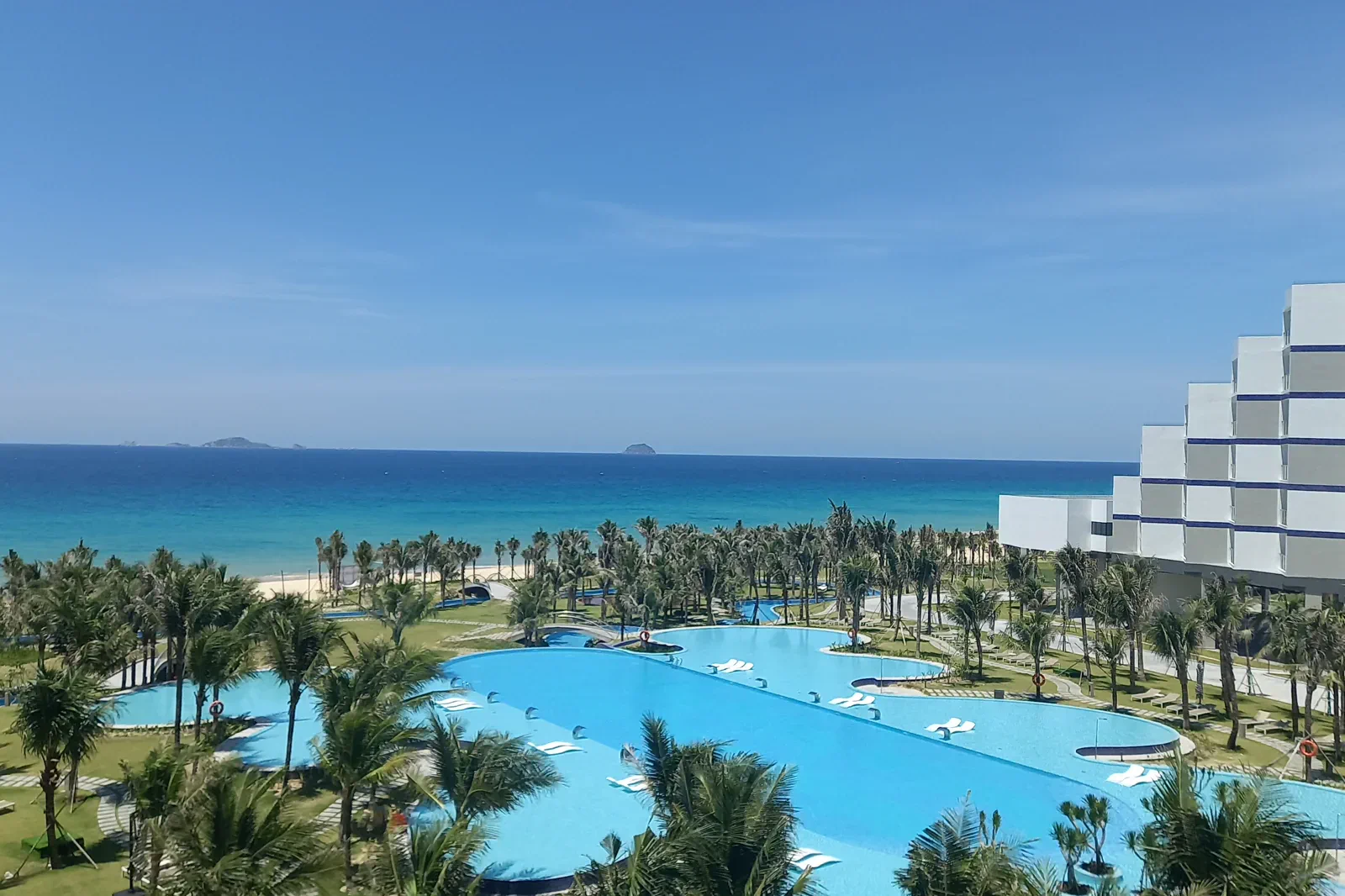 ledgerCam Ranh & Bai Dai CoastThe airport-side coast
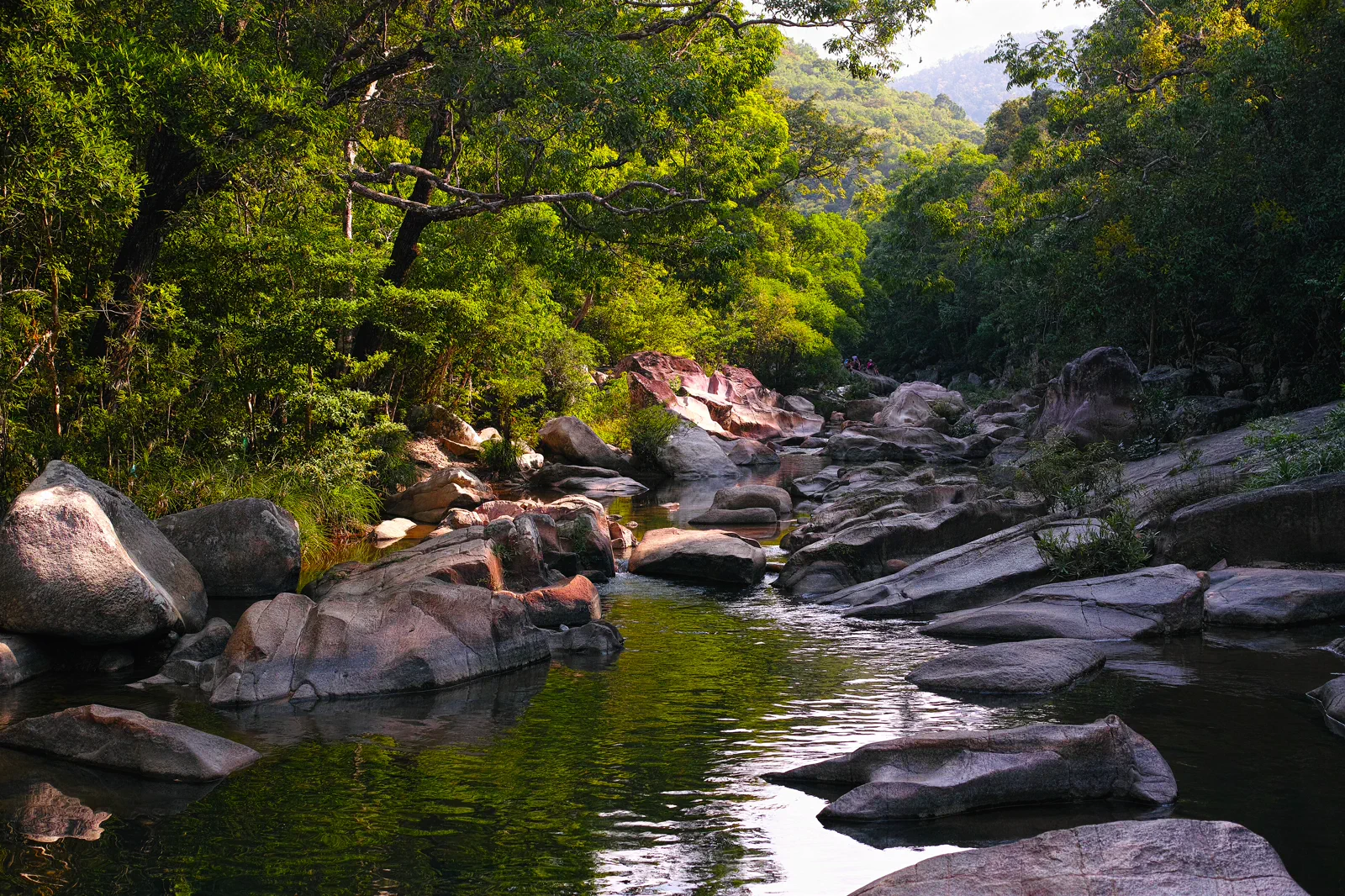 transectBa Ho Waterfalls & Ninh HoaThree pools inland
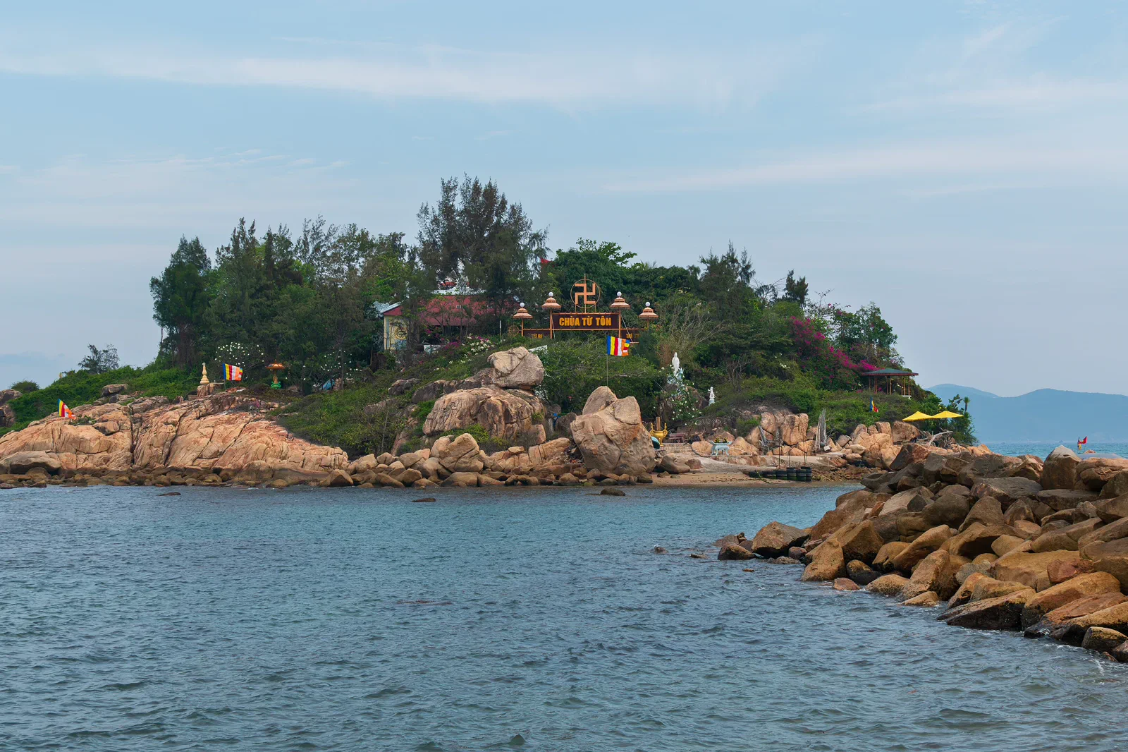 docketNha Trang Bay Conservation & Island TransferThe reef-side contract
Official sources and photo credits
Planning facts and image licenses were reviewed on 31 August 2026. Schedules, access, tickets, weather and operator terms change; verify directly before travel.
- Vietnam Tourism — Nha Trang city, beaches, islands and transport.
- Khanh Hoa Digital Travel Platform — Nha Trang Bay.
- Khanh Hoa Digital Travel Platform — Po Nagar Cham Towers.
- National Biodiversity Conservation — Nha Trang Bay Nature Reserve.
- Ninh Hoa Government — Ba Ho Ecotourism Area.
- Beach at Nha Trang, Vietnam — Bruce Tuten, CC BY 2.0. Resized, display-cropped and converted to WebP; no other material edits.
- Po Nagar Cham Towers — wileypics, CC BY 2.0. Resized, display-cropped and converted to WebP; no other material edits.
- Hon Mun Island, Nha Trang Bay — Nguyen Hung Vu, CC BY 2.0. Resized, display-cropped and converted to WebP; no other material edits.
- Cam Ranh Sea — GDAE, CC BY-SA 4.0. Resized, display-cropped and converted to WebP; no other material edits.
- Ba Ho Stream, Khanh Hoa — [Tycho], CC BY-SA 3.0. Resized, display-cropped and converted to WebP; no other material edits.
- Hon Do Island from Nha Trang mainland — Dominic Nelson, CC BY-SA 4.0. Resized, display-cropped and converted to WebP; no other material edits.