Hon Mun Island Marine Route Reef before recreation.
Plan Hon Mun and nearby island waters as a weather-led marine day with licensed operators, reef conduct and a protected return buffer.
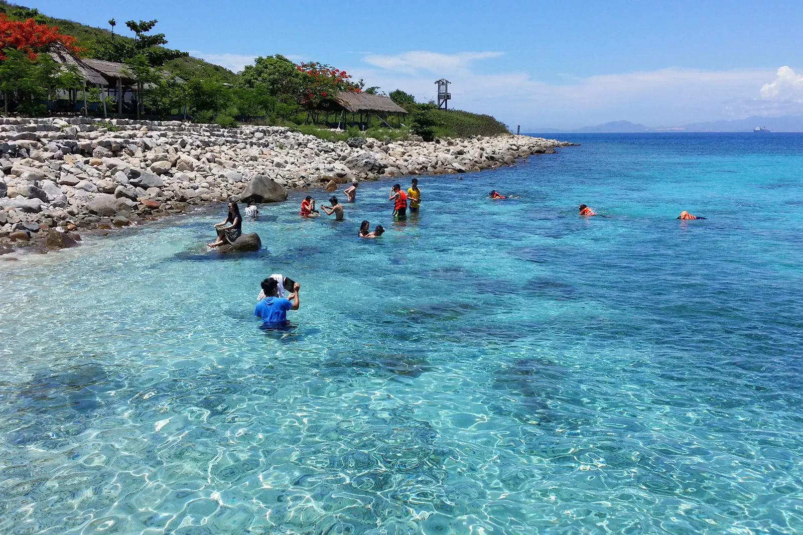
Confirm the exact departure port, operator, vessel, life-jacket policy, sea-state cancellation terms and return time. Speedboats are not interchangeable with wooden boats.
Check the forecast at the pier, board according to crew instruction, enter water only where the operator and protection rules permit, then return with enough time for a missed connection.
Protect coral and passengers: wear a secured life jacket when instructed, remain seated underway, never stand on coral, touch wildlife, feed fish or remove shells.
Keep the local logic visible.
Nha Trang Bay’s attraction is inseparable from its ecological pressure. The route must put the reef, vessel, crew, swimmer and current marine notice ahead of the promise of a particular fish or color.
Let sequence do the editing.
Check the forecast at the pier, board according to crew instruction, enter water only where the operator and protection rules permit, then return with enough time for a missed connection.
Read the sea
Check official marine weather, wind, wave and operator notices before leaving the hotel or paying for a trip.
Contract the boat
Confirm the vessel, crew, pier, passenger list, safety equipment, route and cancellation policy; keep the written or digital details available.
Enter lightly
Follow the guide’s water boundary, maintain neutral buoyancy, keep fins away from coral and choose observation over contact.
Return with slack
Leave the water before fatigue, return to the assigned seat and protect the land-side buffer for weather or harbor delays.
Three weak points to solve.
Conditions change faster than an editorial page. Verify the named official source, actual operator and local weather close to travel.
Marine forecast
Wind, waves, thunderstorms and visibility can cancel or transform a boat day; no island photo is worth ignoring the forecast.
Operator safety
Use a verifiable operator, listen to the captain, wear the life jacket correctly and never climb the bow or gunwale for photos.
Reef protection
Nha Trang Bay includes sensitive coral and seagrass; no touching, standing, anchoring in prohibited areas, collecting or feeding.
Protect coral and passengers: wear a secured life jacket when instructed, remain seated underway, never stand on coral, touch wildlife, feed fish or remove shells.
Hon Mun Island Marine Route FAQ
How much time should Hon Mun Island Marine Route receive?
Reserve a full flexible day including pier, boat and recovery time; a marine route should never be squeezed between fixed transport connections.
Can I combine Hon Mun Island Marine Route with another major chapter?
Combine with a city evening only after a generous return margin; do not pair with Cam Ranh airport departure on the same tight clock.
What should I verify before leaving?
Check the National Center for Hydro-Meteorological Forecasting, Nha Trang Bay management notices and the exact licensed operator immediately before departure.
Choose the next chapter by purpose.
Return to the hub before joining distant branches into one day.
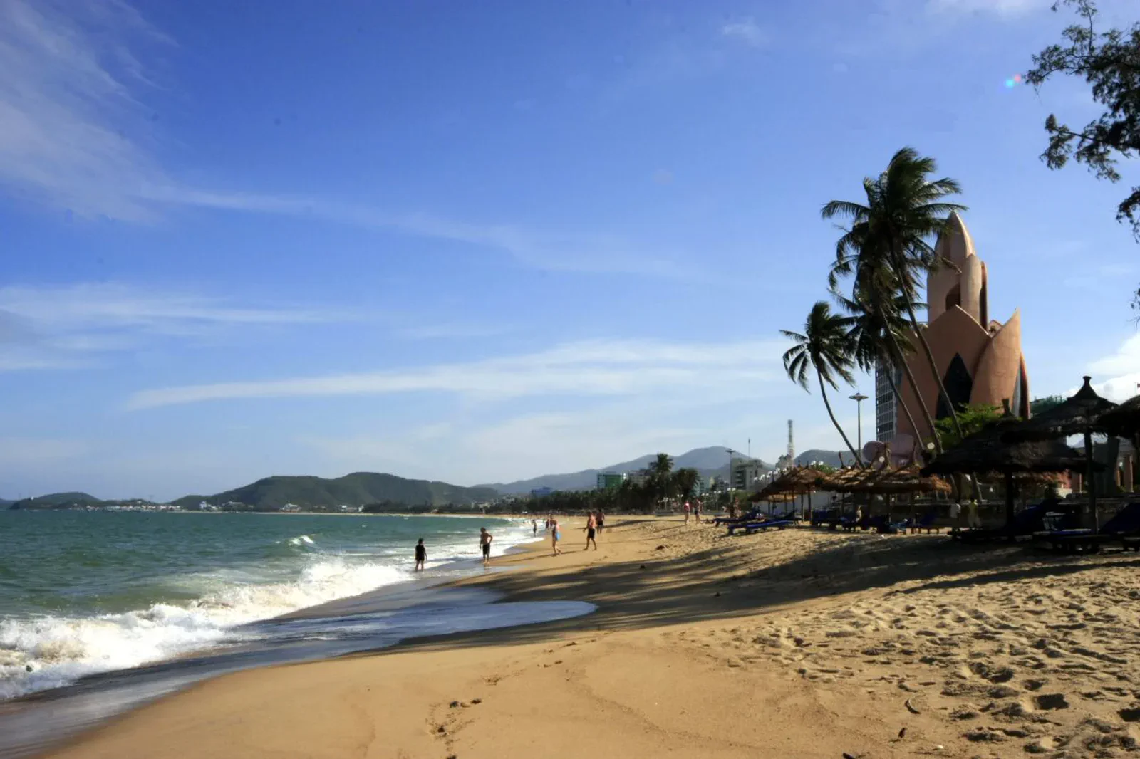 docketNha Trang City & Tran Phu BeachThe public shoreline
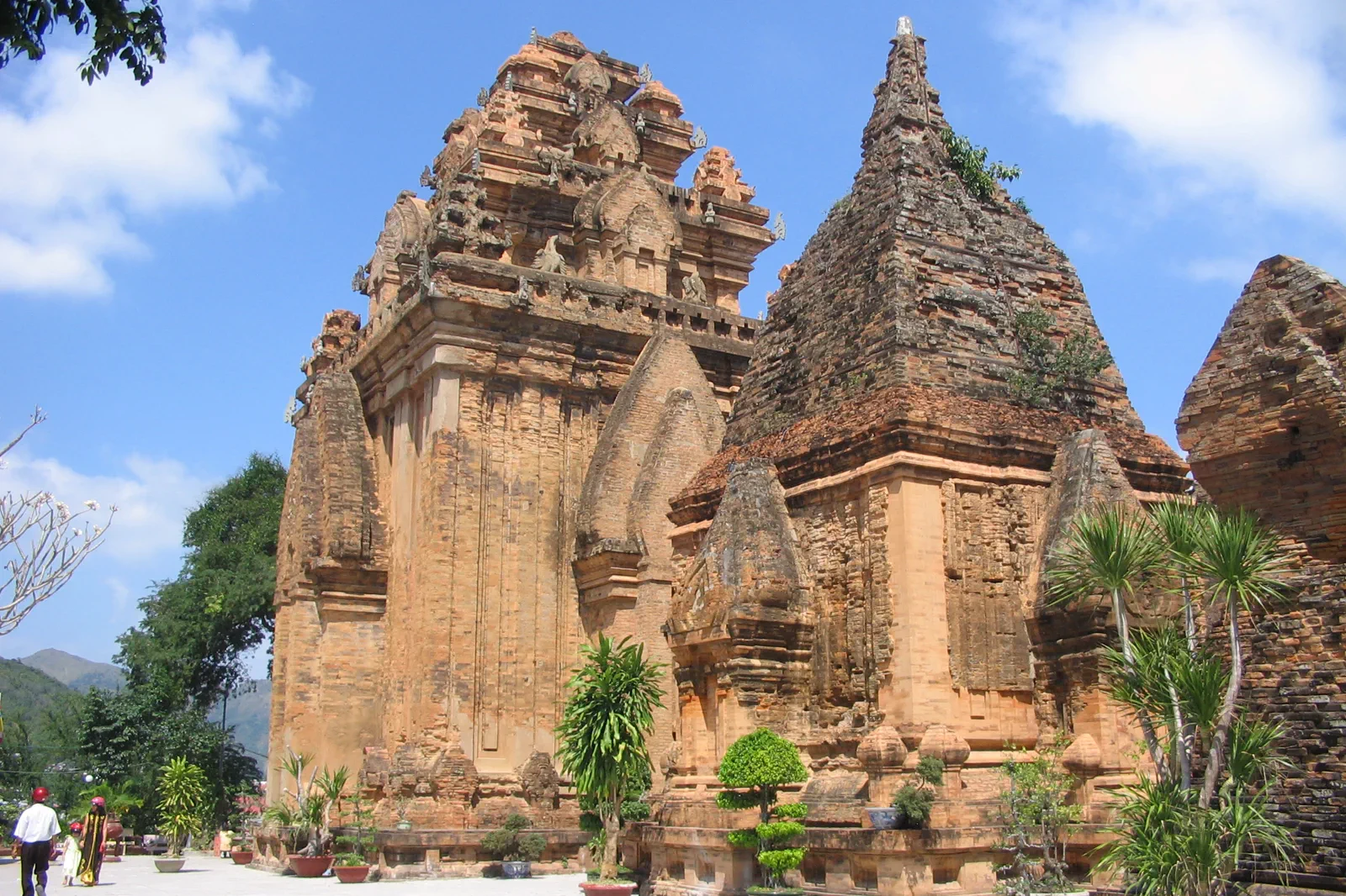 compassPo Nagar Cham Towers & Hon ChongMother of the land, stone of the bay
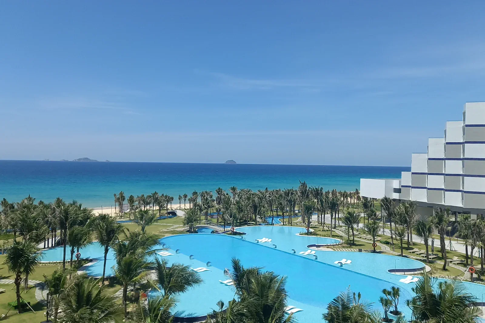 ledgerCam Ranh & Bai Dai CoastThe airport-side coast
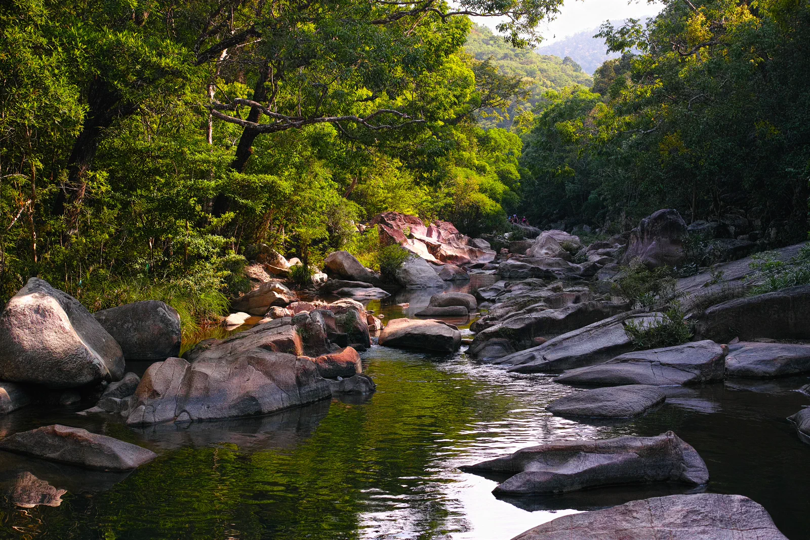 transectBa Ho Waterfalls & Ninh HoaThree pools inland
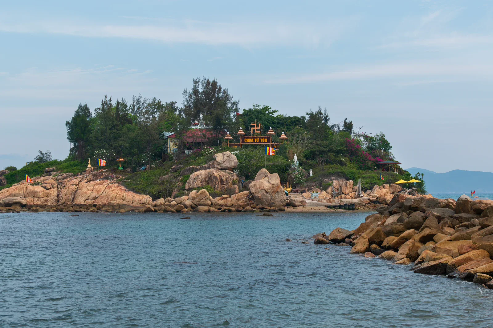 docketNha Trang Bay Conservation & Island TransferThe reef-side contract
Official sources and photo credits
Planning facts and image licenses were reviewed on 31 August 2026. Schedules, access, tickets, weather and operator terms change; verify directly before travel.
- Vietnam Tourism — Nha Trang city, beaches, islands and transport.
- Khanh Hoa Digital Travel Platform — Nha Trang Bay.
- Khanh Hoa Digital Travel Platform — Po Nagar Cham Towers.
- National Biodiversity Conservation — Nha Trang Bay Nature Reserve.
- Ninh Hoa Government — Ba Ho Ecotourism Area.
- Beach at Nha Trang, Vietnam — Bruce Tuten, CC BY 2.0. Resized, display-cropped and converted to WebP; no other material edits.
- Po Nagar Cham Towers — wileypics, CC BY 2.0. Resized, display-cropped and converted to WebP; no other material edits.
- Hon Mun Island, Nha Trang Bay — Nguyen Hung Vu, CC BY 2.0. Resized, display-cropped and converted to WebP; no other material edits.
- Cam Ranh Sea — GDAE, CC BY-SA 4.0. Resized, display-cropped and converted to WebP; no other material edits.
- Ba Ho Stream, Khanh Hoa — [Tycho], CC BY-SA 3.0. Resized, display-cropped and converted to WebP; no other material edits.
- Hon Do Island from Nha Trang mainland — Dominic Nelson, CC BY-SA 4.0. Resized, display-cropped and converted to WebP; no other material edits.