Ha Giang Karst Plateau Take the loop slowly: every pass has a road, a community and a boundary.
Ha Giang is a road landscape organized around the Dong Van Karst Plateau UNESCO Global Geopark. Quan Ba, Yen Minh, Dong Van, Lung Cu, Ma Pi Leng, Meo Vac and Du Gia are not interchangeable viewpoints: they differ in road exposure, altitude, border sensitivity, market rhythm and community life. The safest editorial plan makes transport time visible and never rewards risky riding.
- Useful stay
- Use Ha Giang City as a practical start, then choose overnight bases according to the actual road sequence.
- Transfer logic
- The plateau is reached by long road transfer from Hanoi or another northern base.
Open the place at the right scale.
Each card solves a different transport, access or conduct problem. None is a placeholder.
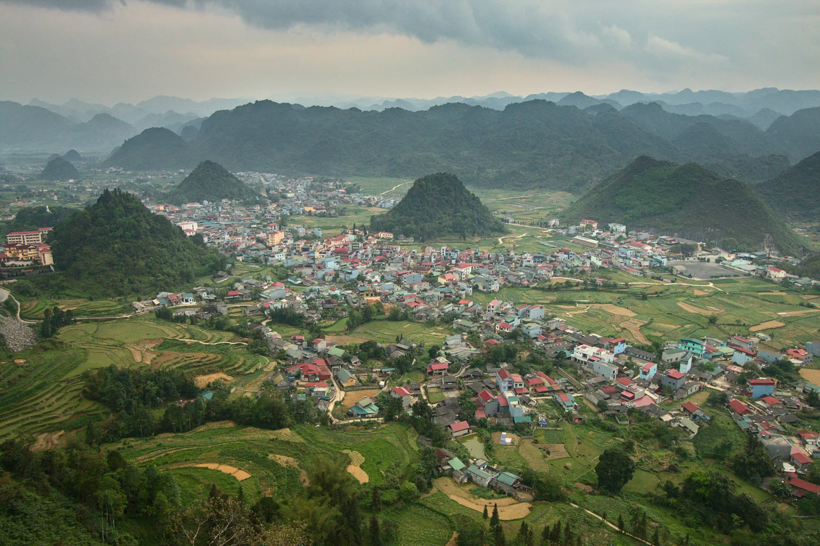
01Quan Ba and Heaven’s Gate
The loop’s northern gateway, pairing Heaven’s Gate viewpoints, Quan Ba valleys and an honest introduction to karst-road travel.
Open the field guide →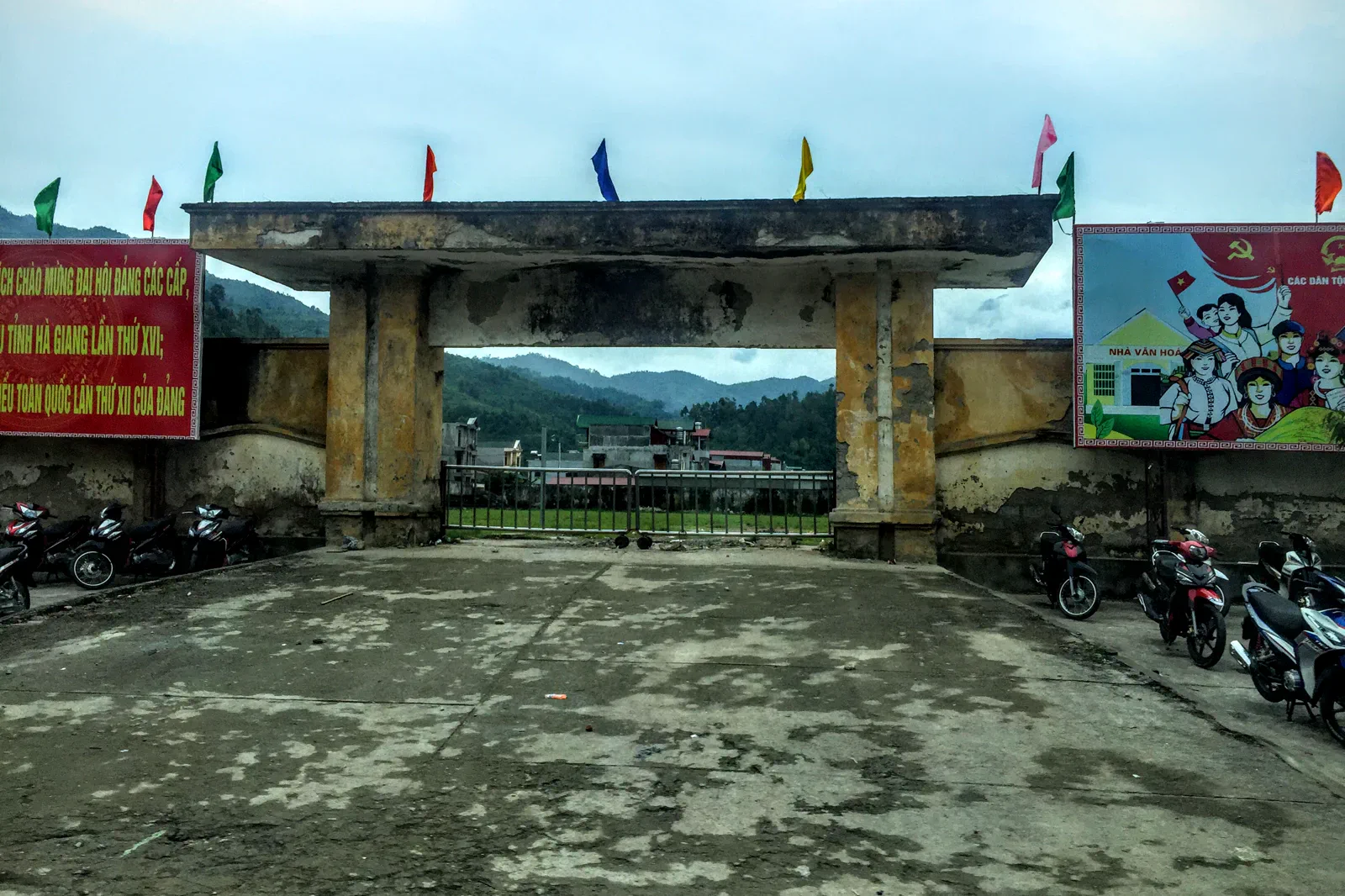 02
02Yen Minh and the Pine Forest Route
A staging chapter for Yên Minh’s upland forest, road rhythm, supplies and overnight decisions between Quan Ba and Dong Van.
Open the field guide →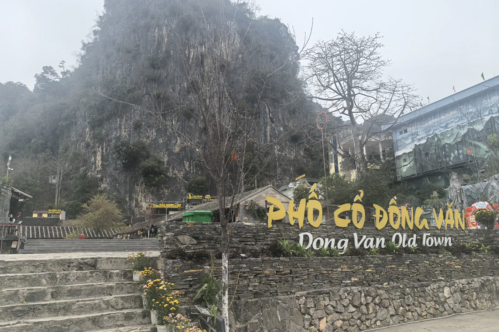 03
03Dong Van Old Quarter
A compact heritage-town chapter for Dong Van’s preserved houses, market, stone streets and role as a plateau base.
Open the field guide → 04
04Lung Cu Flag Tower and Border Villages
A border-area day around Lung Cu Flag Tower, Thèn Pả, Lô Lô Chải and the highland villages beneath Dragon Mountain.
Open the field guide →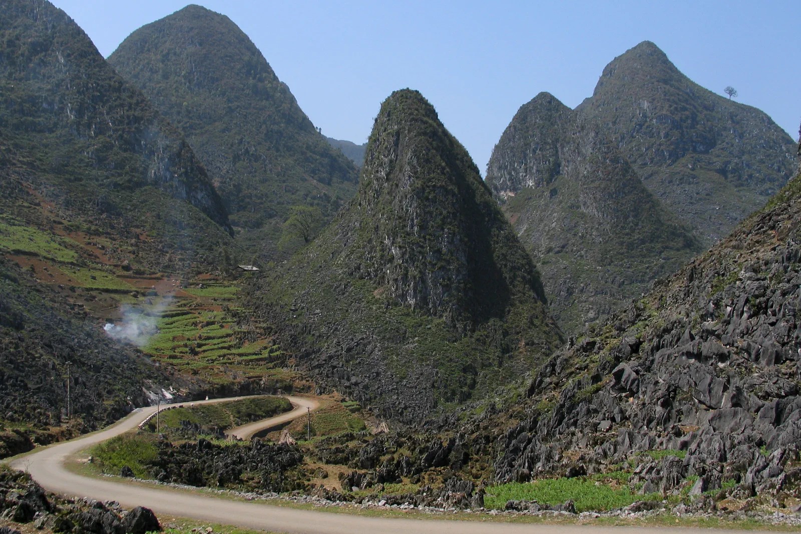 05
05Ma Pi Leng Pass and Nho Que River
The signature pass-and-canyon chapter, connecting Ma Pi Leng viewpoints with a separately planned Nho Que River descent.
Open the field guide →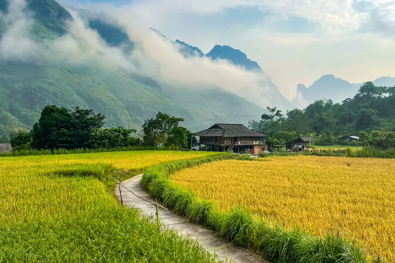 06
06Meo Vac to Du Gia Southbound Link
A deliberately multi-day southbound chapter joining Meo Vac’s highland market area with Du Gia’s valley, waterfalls and homestay rhythm.
Open the field guide →Six chapters, six different conditions.
Distance, weather, sacred space, working neighborhoods and protected landscapes cannot share one generic checklist.
Quan Ba and Heaven’s Gate
Approach from Ha Giang City on the current permitted road with a skilled driver or legal tour. Pull-offs are limited and a scenic map pin may sit beside an active curve.
Keep the boundaryDo not park on a blind bend or enter a farm to make a photograph. Scenic access is subordinate to residents, traffic and road safety.Yen Minh and the Pine Forest Route
Reach town in daylight on the current QL4C alignment, checking roadworks and fuel along the way. Rural detours may not have reliable signal or services.
Keep the boundaryA pine forest or rural shoulder is not automatically public recreation land. Stay on established access and keep noise, litter and drones away from homes and livestock.Dong Van Old Quarter
Park or get dropped at the current perimeter and walk the narrow streets. Market days and festivals can alter vehicle access and crowd density.
Keep the boundaryDo not enter courtyards, guest rooms or shops without invitation. The old quarter is both heritage and home.Lung Cu Flag Tower and Border Villages
Reach the area from Dong Van with a confirmed driver or tour and allow for the additional road distance. Current entry, vehicle and identification rules may differ by site or period.
Keep the boundaryDo not photograph sensitive facilities, cross signs, fly a drone or touch the flag. Community houses and fields remain private even when they are visually striking.Ma Pi Leng Pass and Nho Que River
Travel between Dong Van and Meo Vac with an experienced driver or legal tour. River access may require local transport and current water or weather approval.
Keep the boundaryNever step into the traffic lane, cross a barrier or lean over an unprotected edge for a photograph. Do not swim or improvise a river landing.Meo Vac to Du Gia Southbound Link
Leave Meo Vac with fuel, cash, water and a confirmed destination. Road conditions and signal coverage vary; a local driver or legal tour is preferable for the southbound section.
Keep the boundaryDo not enter farms, homes or bathing areas without invitation. Waterfalls and homestays need the same respect as heritage sites.Protect the transfer before adding the view.
This is an editorial sequence, not a promise that every activity operates every day.
Quan Ba and Heaven’s Gate
Leave with fuel and water, pause only at safe shoulders, read the valley from an official viewpoint and reach the overnight base before darkness.
Chapter 02Yen Minh and the Pine Forest Route
Refuel and check the vehicle on arrival, take a short daylight landscape branch, then plan the next day to Dong Van without adding an unsafe night segment.
Chapter 03Dong Van Old Quarter
Arrive before the busiest period, read the square and façades, visit only public interiors, then leave time for a meal and a rested departure.
Chapter 04Lung Cu Flag Tower and Border Villages
Check the border-area notices, visit the tower respectfully, then walk or drive only to publicly accessible village spaces before returning in daylight.
Chapter 05Ma Pi Leng Pass and Nho Que River
Take the pass in clear daylight, stop only at safe viewpoints, check the river descent independently and return before fog, rain or fatigue affects the exposed road.
Chapter 06Meo Vac to Du Gia Southbound Link
Observe Meo Vac in the morning, travel only in daylight, reach Du Gia with enough time for a quiet village or waterfall visit, and keep the next transfer defensive.
Ha Giang Karst Plateau FAQ
How much time should Quan Ba and Heaven’s Gate receive?
Allow one full road day from Ha Giang City, with extra margin for weather and stops.
How much time should Yen Minh and the Pine Forest Route receive?
Use one overnight and a short daylight branch; a longer forest walk needs local confirmation and additional time.
How much time should Dong Van Old Quarter receive?
Allow a few hours, with an overnight base making the quiet morning or evening much more realistic.
How much time should Lung Cu Flag Tower and Border Villages receive?
Reserve most of a day from Dong Van, including the return road and weather margin.
How much time should Ma Pi Leng Pass and Nho Que River receive?
Allow one daylight road segment; add a separate half day or more for an operating Nho Que boat transfer.
How much time should Meo Vac to Du Gia Southbound Link receive?
Plan at least two days and one overnight; never advertise Meo Vac and Du Gia as a guaranteed same-day loop.
Official sources and photo credits
Planning facts and image licenses were reviewed on 31 August 2026. Recheck transport, entry, weather, park and operator conditions before travel.
- UNESCO — Dong Van Karst Plateau UNESCO Global Geopark.
- Vietnam Tourism — Ha Giang.
- Vietnam Tourism — Ha Giang Loop road trip.
- Quản Bạ, Vietnam - 2.jpg — Benjamin Smith, CC BY-SA 4.0. Resized, display-cropped and converted to WebP; no other material edits.
- Tt. Yên Minh, Yên Minh, Hà Giang, Vietnam - panoramio.jpg — trungydang, CC BY 3.0. Resized, display-cropped and converted to WebP; no other material edits.
- Dong Van old town.jpg — HuangWending18072009, CC0. Resized, display-cropped and converted to WebP; no other material edits.
- Cột cờ Lũng Cú - Hà Giang.JPG — Leminhel, Public domain. Resized, display-cropped and converted to WebP; no other material edits.
- Le col de Ma Pi Leng (Dong Van-Meo Vac).jpg — Jaybeelarsay, CC BY-SA 3.0. Resized, display-cropped and converted to WebP; no other material edits.
- Du Già.jpg — NKSTTSSHNVN, CC BY-SA 4.0. Resized, display-cropped and converted to WebP; no other material edits.