Ma Pi Leng Pass and Nho Que River exposed pass and deep canyon.
The signature pass-and-canyon chapter, connecting Ma Pi Leng viewpoints with a separately planned Nho Que River descent.
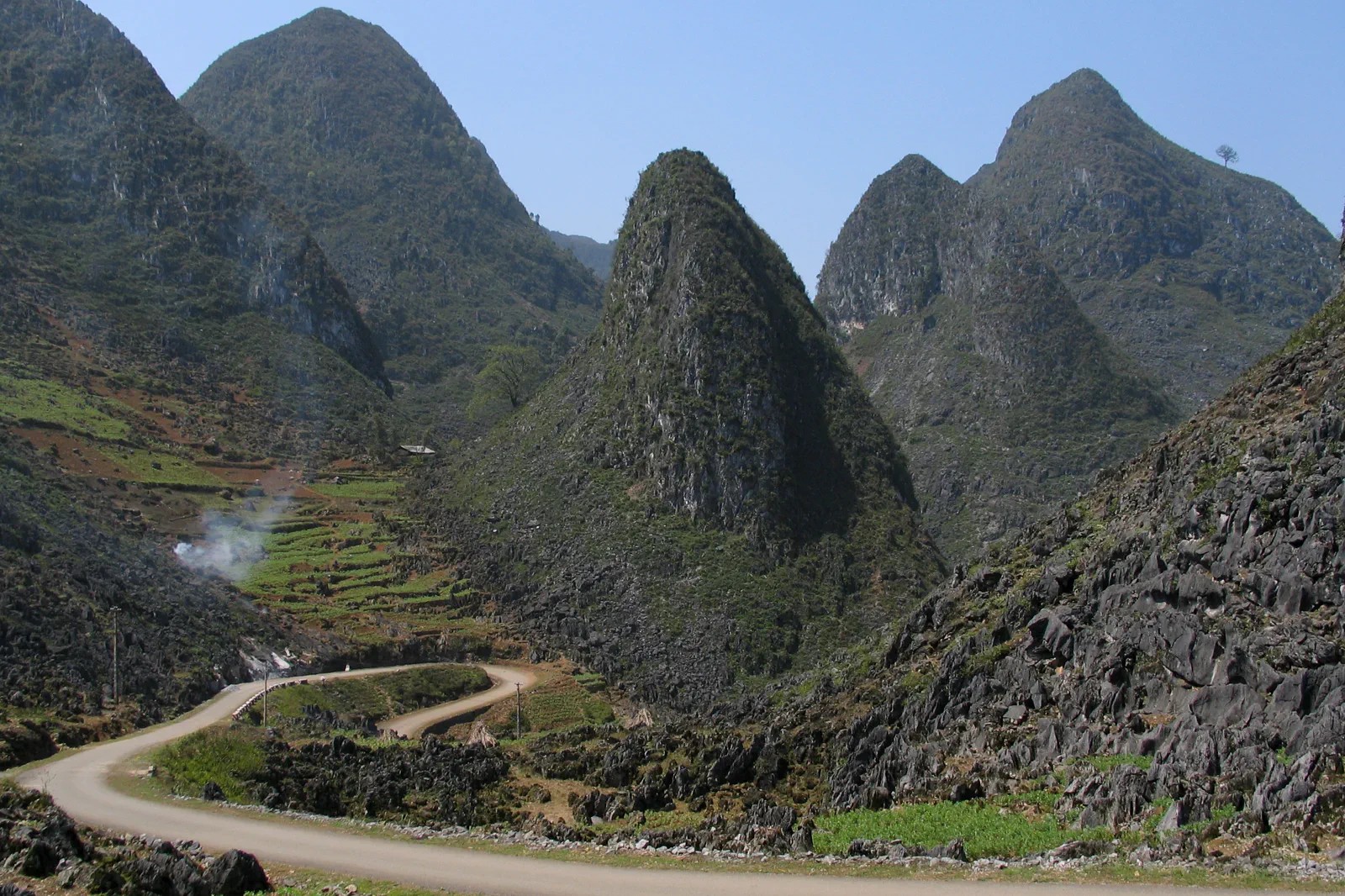
Travel between Dong Van and Meo Vac with an experienced driver or legal tour. River access may require local transport and current water or weather approval.
Take the pass in clear daylight, stop only at safe viewpoints, check the river descent independently and return before fog, rain or fatigue affects the exposed road.
Never step into the traffic lane, cross a barrier or lean over an unprotected edge for a photograph. Do not swim or improvise a river landing.
Keep the local logic visible.
Ma Pi Leng is spectacular precisely because the road is narrow, exposed and high above the Nho Que valley. The page should teach visitors to read the pass from safe pull-offs and to treat any river excursion as a separate managed transfer.
Let sequence do the editing.
Take the pass in clear daylight, stop only at safe viewpoints, check the river descent independently and return before fog, rain or fatigue affects the exposed road.
Read the road first
Check wind, rain, visibility and the driver’s stopping plan before approaching the crest.
Use the safe overlook
Stay behind current barriers, keep vehicles clear and let the canyon remain a landscape rather than a stunt platform.
Decide on the river separately
Confirm the legal access point, boat operator, water conditions and return transfer before descending.
Exit with daylight
Leave the canyon or river area with a generous road margin; do not continue the loop simply to preserve a planned photograph.
Three weak points to solve.
Conditions change faster than an editorial page. Verify the named official source, actual operator and local weather close to travel.
Cliff and traffic exposure
The pass carries active traffic beside steep drops. Experienced driving and legal viewpoints are non-negotiable.
Rain and rockfall
Heavy weather can make both pass and river routes unsafe. Follow closures and turn back early.
Water safety
Boat and shoreline conditions vary. Use a life jacket, follow the operator and never enter the river alone.
Never step into the traffic lane, cross a barrier or lean over an unprotected edge for a photograph. Do not swim or improvise a river landing.
Ma Pi Leng Pass and Nho Que River FAQ
How much time should Ma Pi Leng Pass and Nho Que River receive?
Allow one daylight road segment; add a separate half day or more for an operating Nho Que boat transfer.
Can I combine Ma Pi Leng Pass and Nho Que River with another major chapter?
Combine with Dong Van or Meo Vac as the road link, keeping the pass and river as distinct planning blocks.
What should I verify before leaving?
Check road and viewpoint closures, driver experience, weather, river operator status, life-jacket rules and daylight.
Choose the next chapter by purpose.
Return to the hub before joining distant branches into one day.
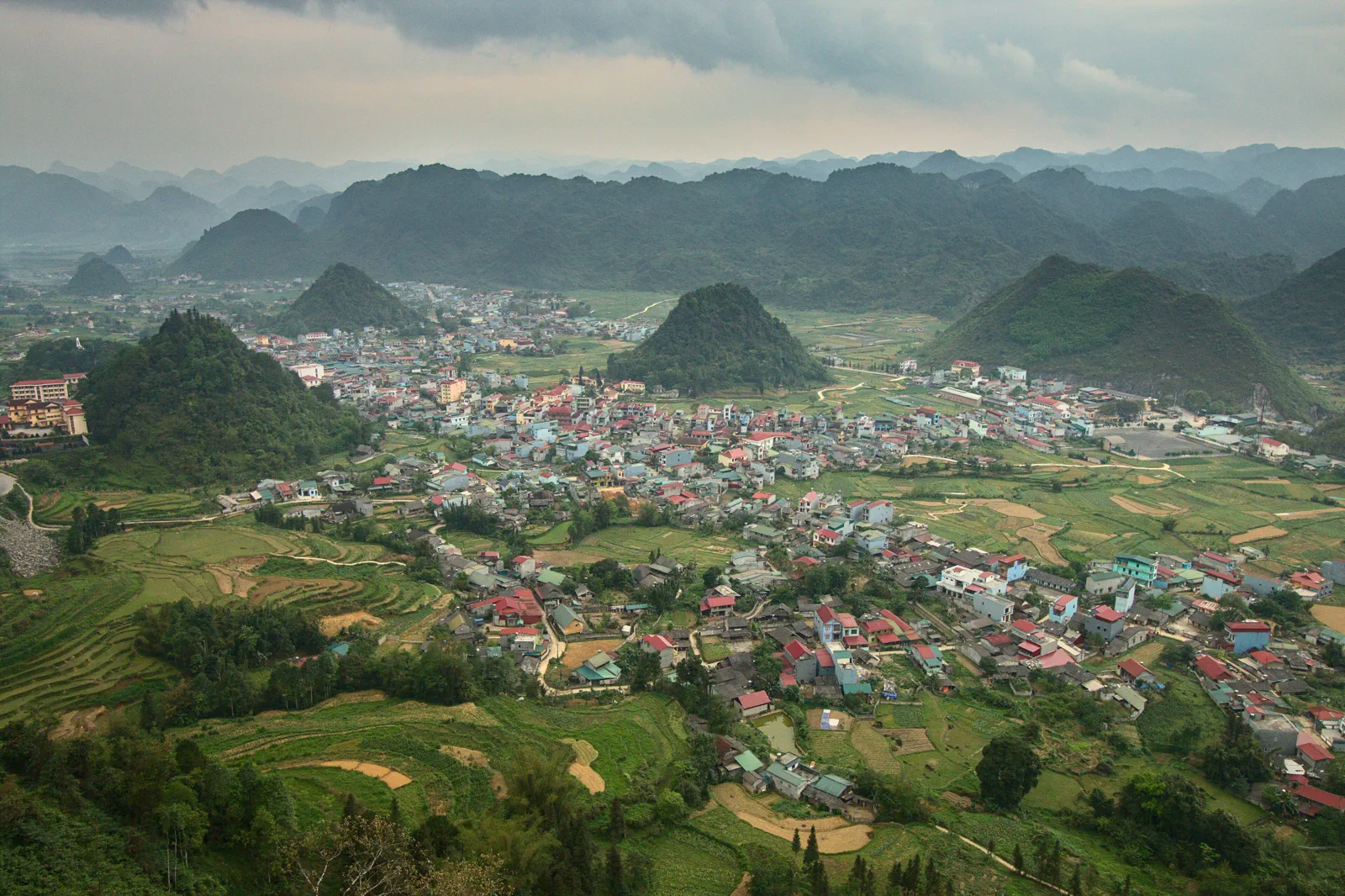 compassQuan Ba and Heaven’s Gatefirst pass into the geopark
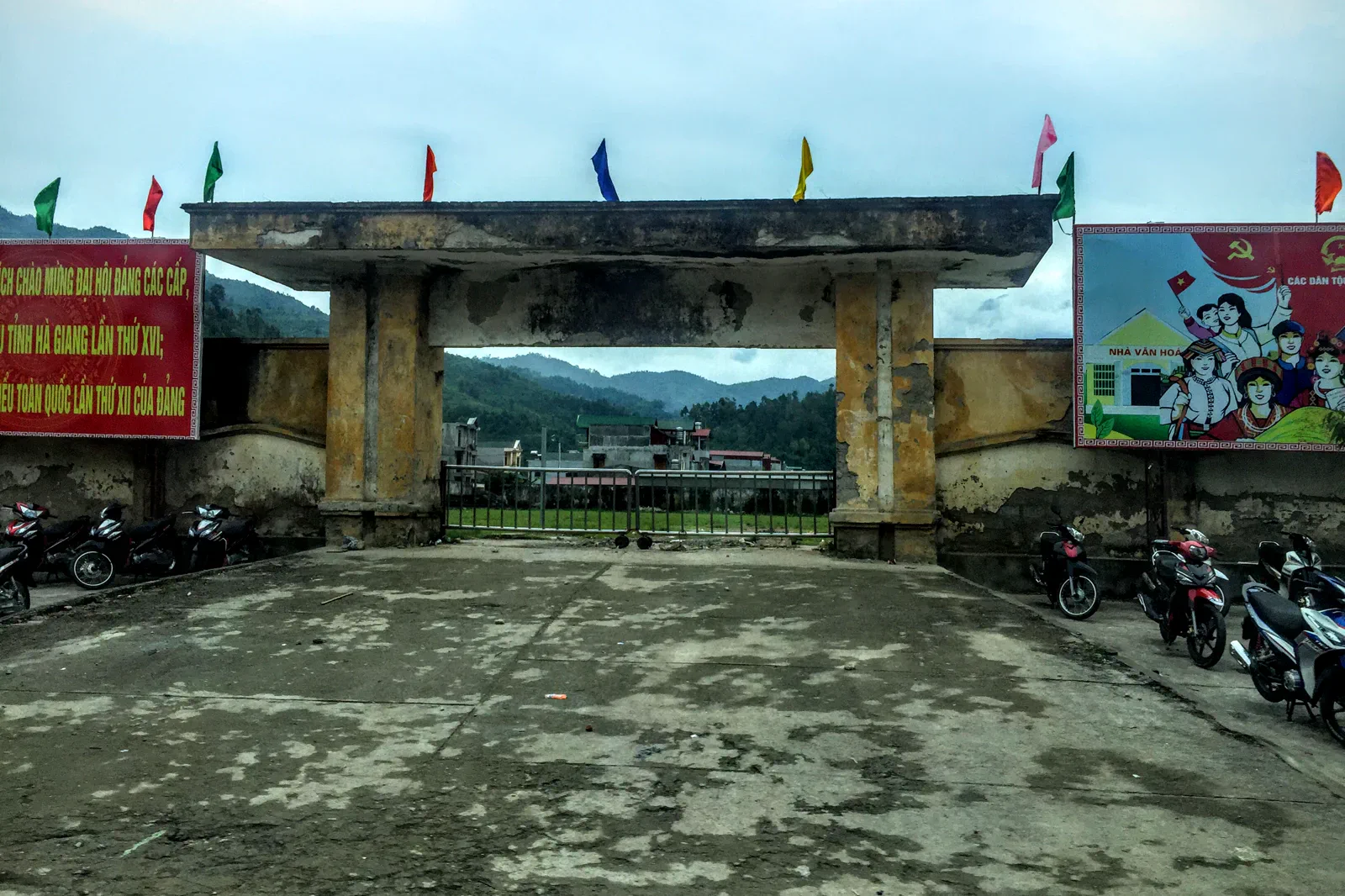 roadbookYen Minh and the Pine Forest Routestaging town and upland forest
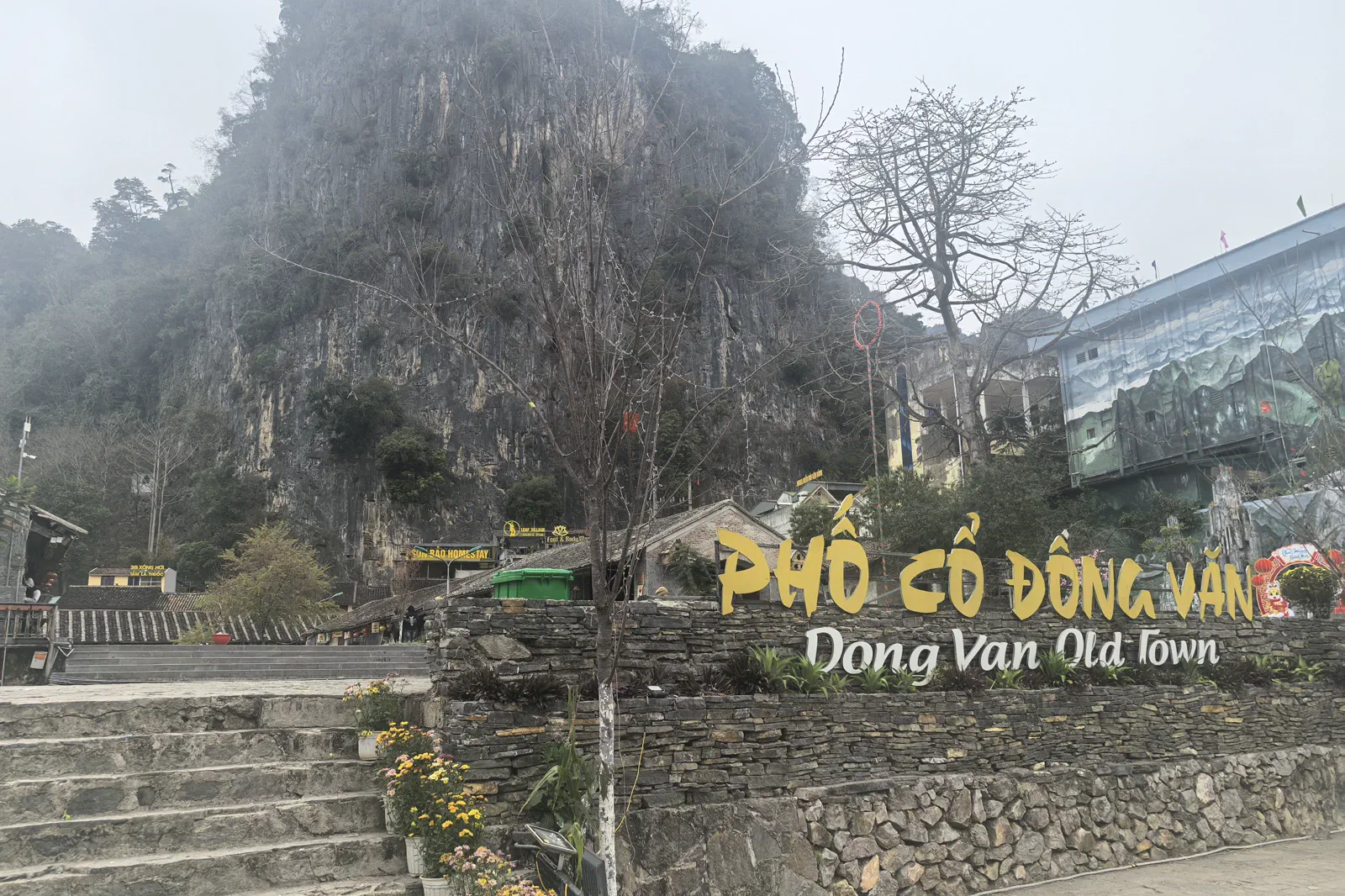 zineDong Van Old Quarterstone-town market memory
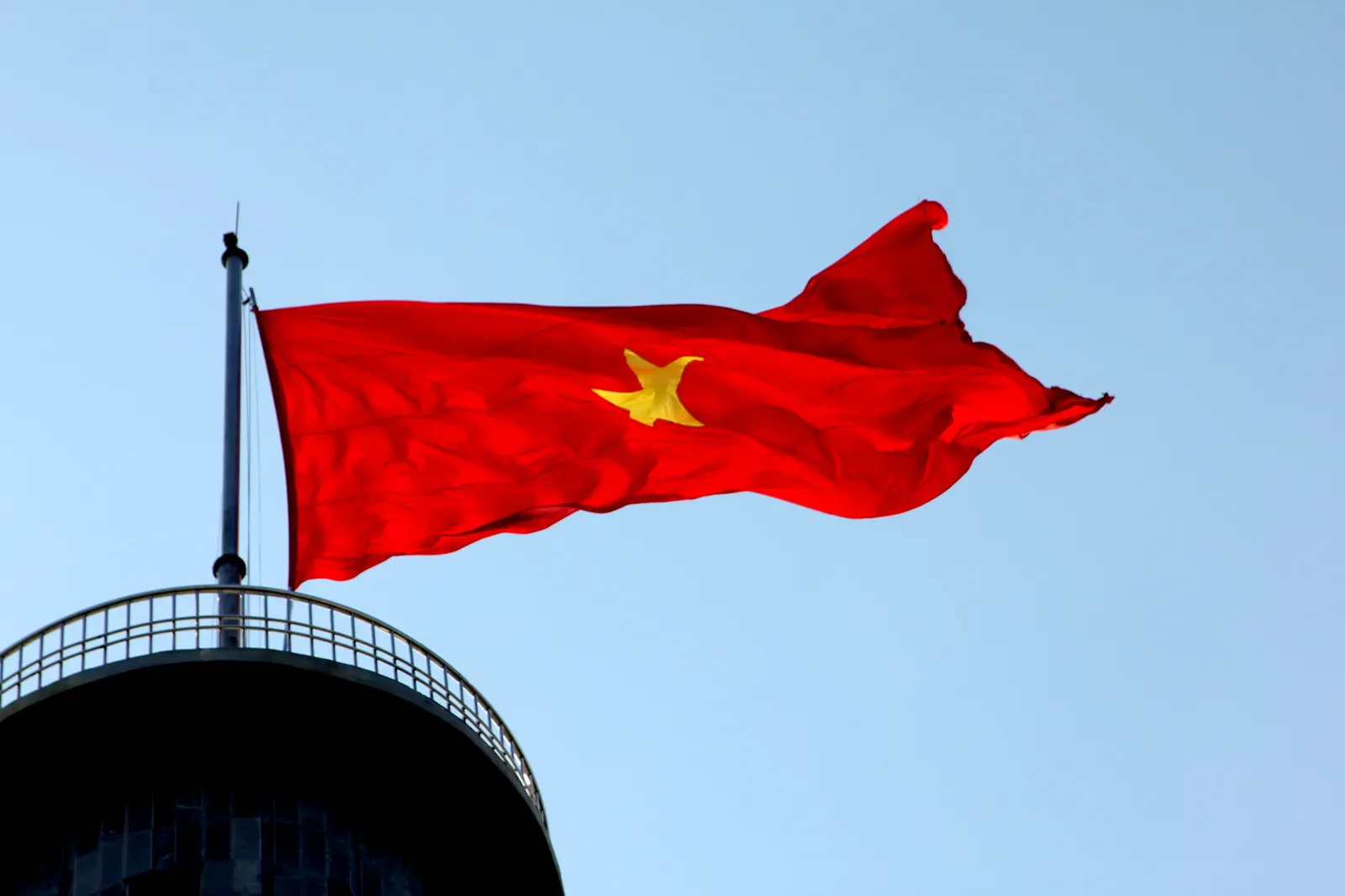 atlasLung Cu Flag Tower and Border Villagesborder landscape and civic symbol
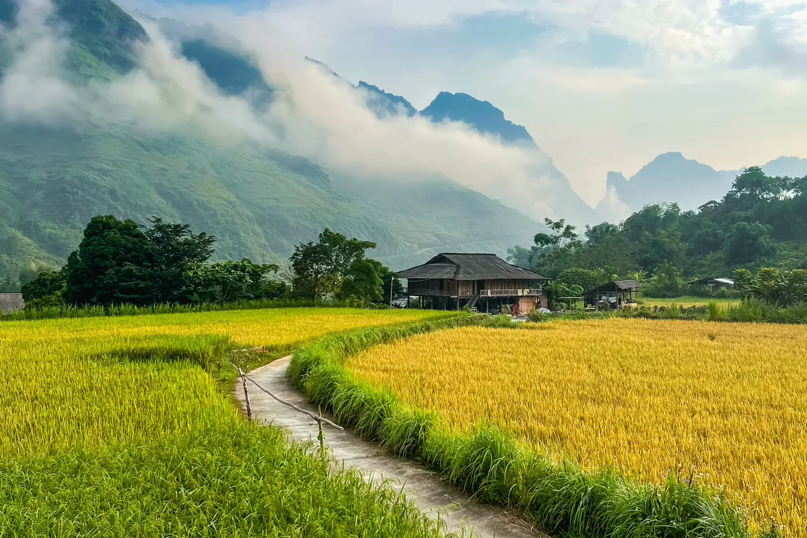 signalMeo Vac to Du Gia Southbound Linkmarket finish and village recovery
Official sources and photo credits
Planning facts and image licenses were reviewed on 31 August 2026. Schedules, access, tickets, weather and operator terms change; verify directly before travel.
- UNESCO — Dong Van Karst Plateau UNESCO Global Geopark.
- Vietnam Tourism — Ha Giang.
- Vietnam Tourism — Ha Giang Loop road trip.
- Quản Bạ, Vietnam - 2.jpg — Benjamin Smith, CC BY-SA 4.0. Resized, display-cropped and converted to WebP; no other material edits.
- Tt. Yên Minh, Yên Minh, Hà Giang, Vietnam - panoramio.jpg — trungydang, CC BY 3.0. Resized, display-cropped and converted to WebP; no other material edits.
- Dong Van old town.jpg — HuangWending18072009, CC0. Resized, display-cropped and converted to WebP; no other material edits.
- Cột cờ Lũng Cú - Hà Giang.JPG — Leminhel, Public domain. Resized, display-cropped and converted to WebP; no other material edits.
- Le col de Ma Pi Leng (Dong Van-Meo Vac).jpg — Jaybeelarsay, CC BY-SA 3.0. Resized, display-cropped and converted to WebP; no other material edits.
- Du Già.jpg — NKSTTSSHNVN, CC BY-SA 4.0. Resized, display-cropped and converted to WebP; no other material edits.