Quan Ba and Heaven’s Gate first pass into the geopark.
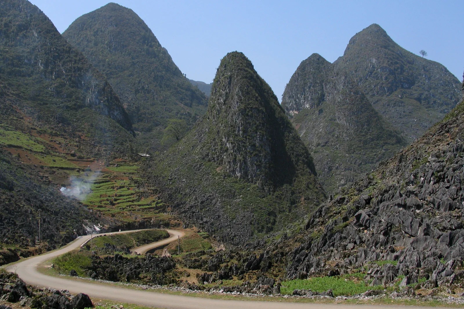
The loop’s northern gateway, pairing Heaven’s Gate viewpoints, Quan Ba valleys and an honest introduction to karst-road travel.
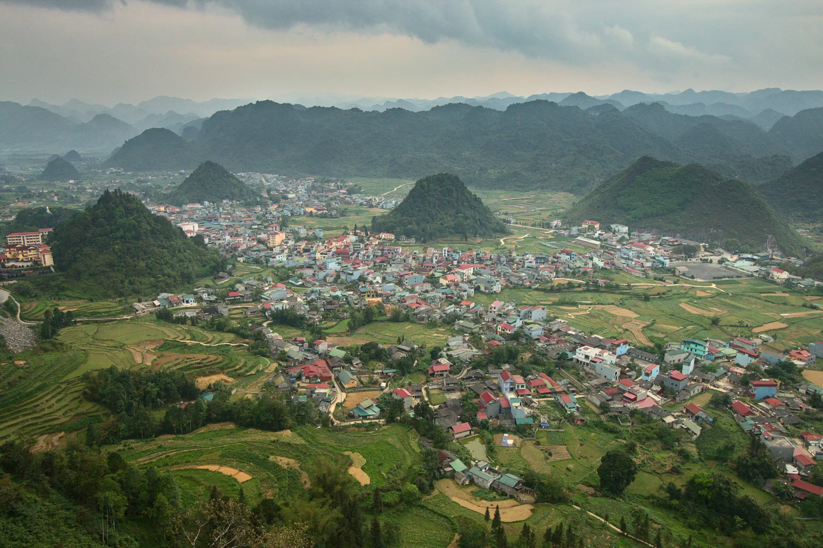
Approach from Ha Giang City on the current permitted road with a skilled driver or legal tour. Pull-offs are limited and a scenic map pin may sit beside an active curve.
Leave with fuel and water, pause only at safe shoulders, read the valley from an official viewpoint and reach the overnight base before darkness.
Do not park on a blind bend or enter a farm to make a photograph. Scenic access is subordinate to residents, traffic and road safety.
Keep the local logic visible.
Quan Ba is where a northern road trip becomes a mountain route. The point is not to rush toward the famous pass names but to learn how elevation, blind curves, weather and village access change the traveler’s responsibilities.
Let sequence do the editing.
Leave with fuel and water, pause only at safe shoulders, read the valley from an official viewpoint and reach the overnight base before darkness.
Prepare the first climb
Check fuel, brakes, weather, helmets and the actual road plan before leaving Ha Giang City.
Use Heaven’s Gate safely
Stop only where the driver can clear the carriageway, then read the karst valley without crossing barriers.
Choose a community pause
Use an invited local stop or public market, asking before photographs and buying directly when possible.
Finish before dark
Reach the base with daylight, food and cash in reserve; the plateau is not a place to discover a failed headlight.
Three weak points to solve.
Conditions change faster than an editorial page. Verify the named official source, actual operator and local weather close to travel.
Blind curves
Mountain traffic and sudden oncoming vehicles make roadside photography dangerous. Use legal pull-offs and keep moving when visibility is poor.
Weather and rockfall
Fog, rain and loose rock can change a pass within minutes. Follow local closures and do not force the loop.
Community thresholds
Ask permission before entering homes, farms or ceremonies, and do not turn residents into an unconsented backdrop.
Do not park on a blind bend or enter a farm to make a photograph. Scenic access is subordinate to residents, traffic and road safety.
Quan Ba and Heaven’s Gate FAQ
How much time should Quan Ba and Heaven’s Gate receive?
Allow one full road day from Ha Giang City, with extra margin for weather and stops.
Can I combine Quan Ba and Heaven’s Gate with another major chapter?
Combine naturally with Yen Minh as the next overnight leg; avoid adding Lung Cu or Ma Pi Leng to the same compressed day.
What should I verify before leaving?
Check the current road condition, weather, fuel points, driver or tour credentials, safe viewpoints and overnight confirmation.
Choose the next chapter by purpose.
Return to the hub before joining distant branches into one day.
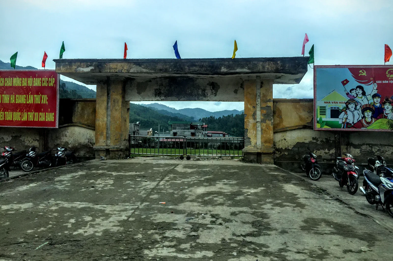 roadbookYen Minh and the Pine Forest Routestaging town and upland forest
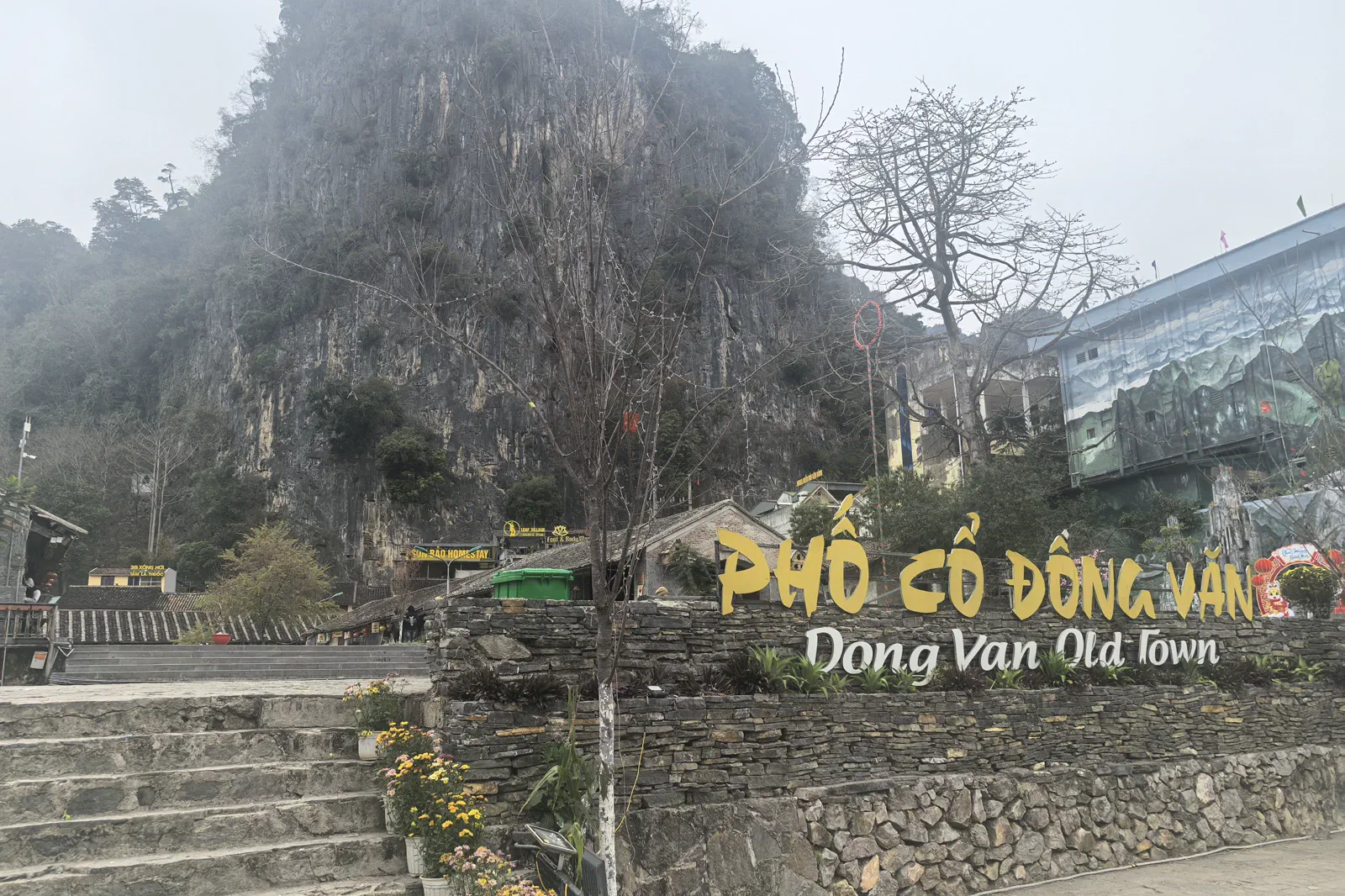 zineDong Van Old Quarterstone-town market memory
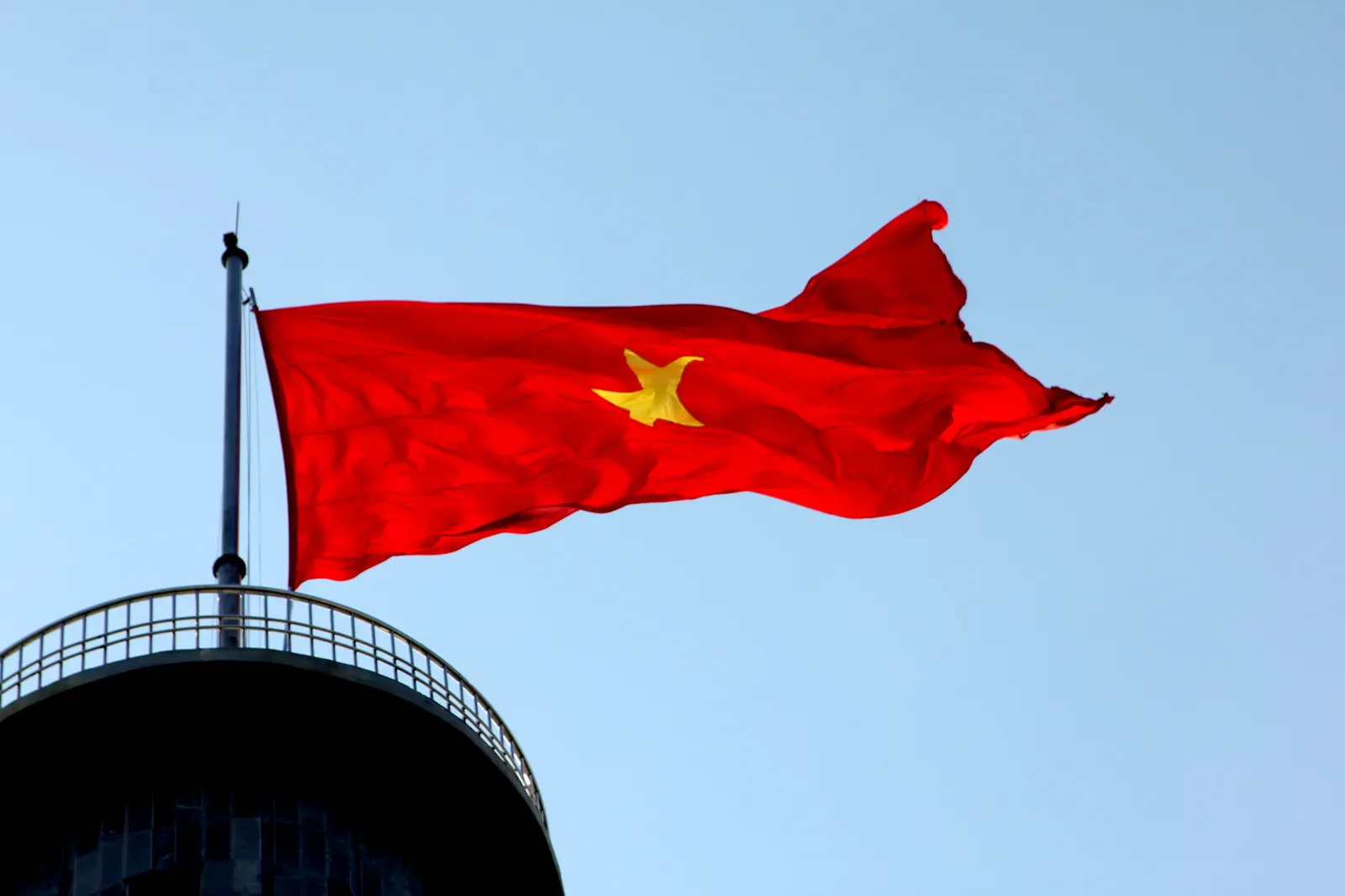 atlasLung Cu Flag Tower and Border Villagesborder landscape and civic symbol
 contourMa Pi Leng Pass and Nho Que Riverexposed pass and deep canyon
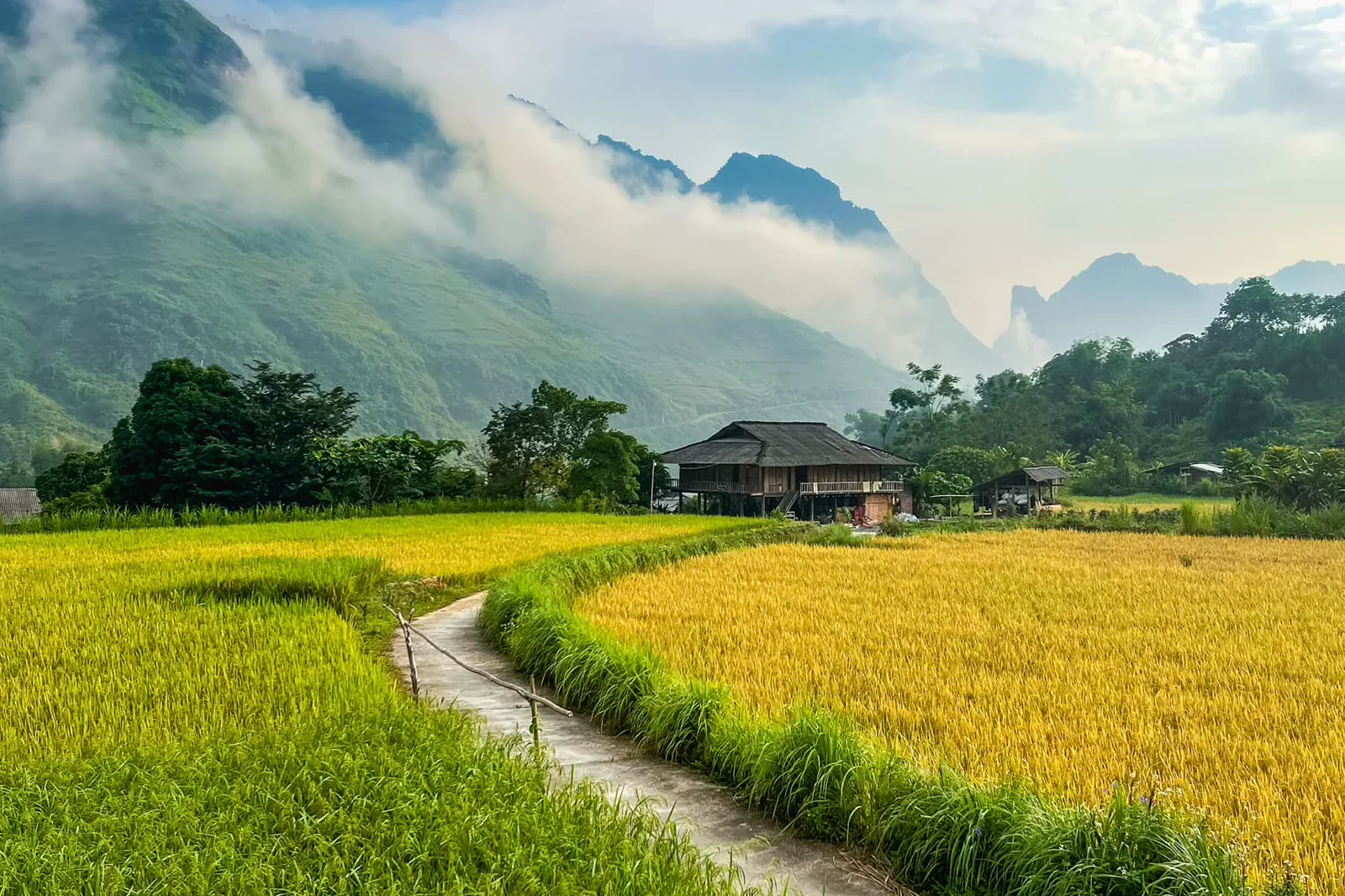 signalMeo Vac to Du Gia Southbound Linkmarket finish and village recovery
Official sources and photo credits
Planning facts and image licenses were reviewed on 31 August 2026. Schedules, access, tickets, weather and operator terms change; verify directly before travel.
- UNESCO — Dong Van Karst Plateau UNESCO Global Geopark.
- Vietnam Tourism — Ha Giang.
- Vietnam Tourism — Ha Giang Loop road trip.
- Quản Bạ, Vietnam - 2.jpg — Benjamin Smith, CC BY-SA 4.0. Resized, display-cropped and converted to WebP; no other material edits.
- Tt. Yên Minh, Yên Minh, Hà Giang, Vietnam - panoramio.jpg — trungydang, CC BY 3.0. Resized, display-cropped and converted to WebP; no other material edits.
- Dong Van old town.jpg — HuangWending18072009, CC0. Resized, display-cropped and converted to WebP; no other material edits.
- Cột cờ Lũng Cú - Hà Giang.JPG — Leminhel, Public domain. Resized, display-cropped and converted to WebP; no other material edits.
- Le col de Ma Pi Leng (Dong Van-Meo Vac).jpg — Jaybeelarsay, CC BY-SA 3.0. Resized, display-cropped and converted to WebP; no other material edits.
- Du Già.jpg — NKSTTSSHNVN, CC BY-SA 4.0. Resized, display-cropped and converted to WebP; no other material edits.