Yen Minh and the Pine Forest Route staging town and upland forest.
A staging chapter for Yên Minh’s upland forest, road rhythm, supplies and overnight decisions between Quan Ba and Dong Van.
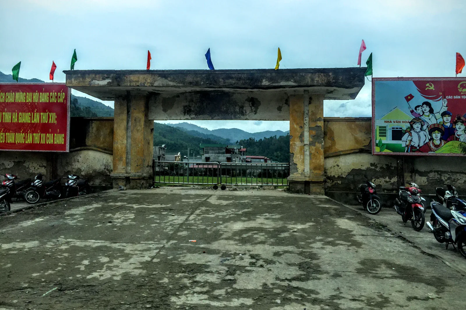
Reach town in daylight on the current QL4C alignment, checking roadworks and fuel along the way. Rural detours may not have reliable signal or services.
Refuel and check the vehicle on arrival, take a short daylight landscape branch, then plan the next day to Dong Van without adding an unsafe night segment.
A pine forest or rural shoulder is not automatically public recreation land. Stay on established access and keep noise, litter and drones away from homes and livestock.
Keep the local logic visible.
Yen Minh is useful because it breaks the loop into a human day rather than a heroic distance claim. Use the pine-forest landscape and town services to teach preparation, not just to fill a card between more famous passes.
Let sequence do the editing.
Refuel and check the vehicle on arrival, take a short daylight landscape branch, then plan the next day to Dong Van without adding an unsafe night segment.
Make the town functional
Confirm lodging, food, cash, fuel and the next road section before heading to a viewpoint.
Read the forest edge
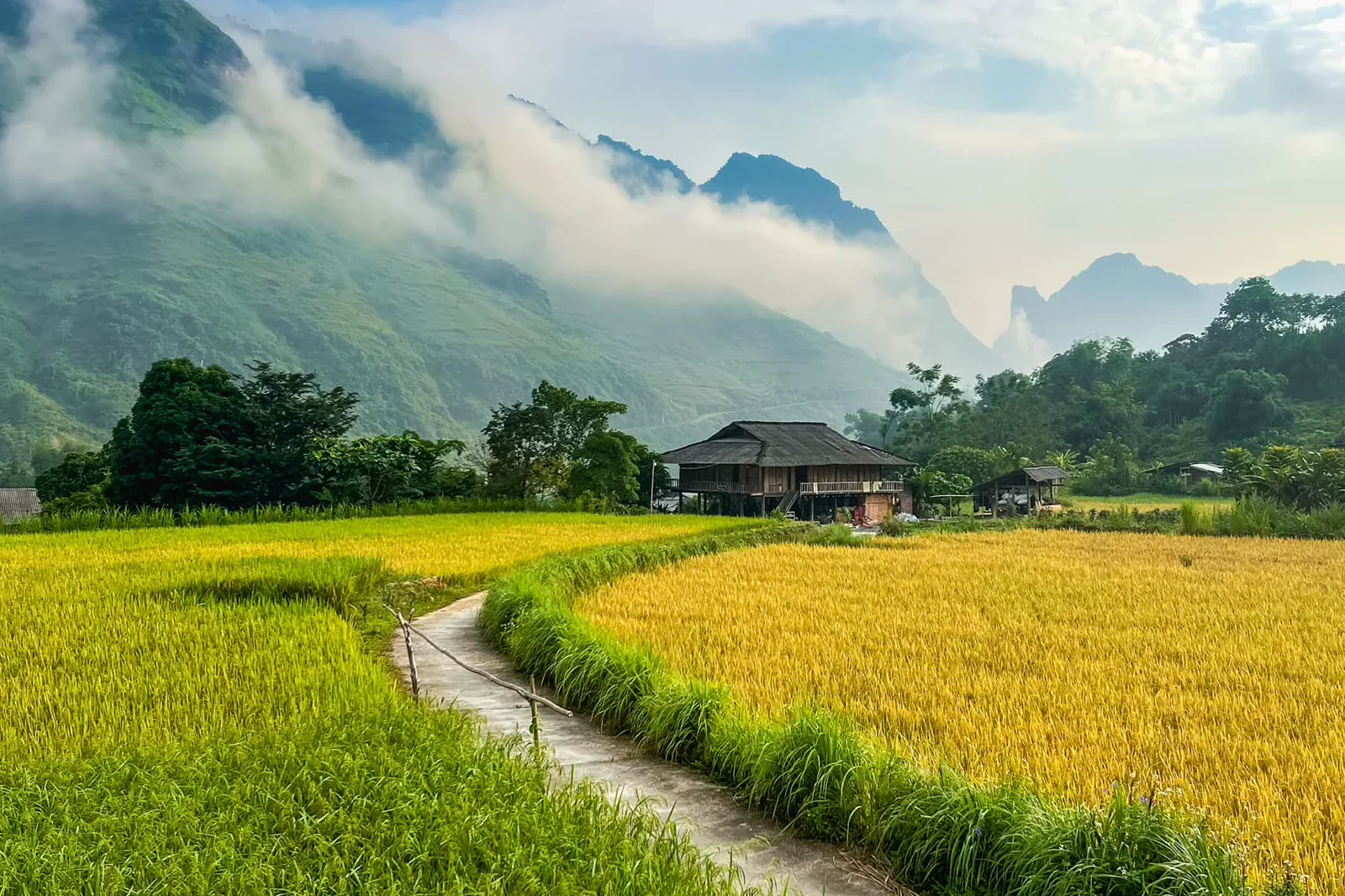
Use a public road or marked access point to observe upland vegetation, fields and the settlement pattern.
Prepare the next pass
Check brakes, lights, rain layers, water and the realistic daylight window to Dong Van.
Keep the night simple
Eat, rest and protect the next day’s margin instead of chasing an unlit scenic detour.
Three weak points to solve.
Conditions change faster than an editorial page. Verify the named official source, actual operator and local weather close to travel.
Limited services
Fuel, cash, pharmacies and medical support are less predictable than in Hanoi or Sapa. Carry a buffer and do not run the tank low.
Roadside stopping
A wide-looking shoulder may hide a curve, drainage or local access. Stop only where the driver confirms it is safe.
Rural privacy
Do not fly drones, enter fields or photograph homes and residents without permission.
A pine forest or rural shoulder is not automatically public recreation land. Stay on established access and keep noise, litter and drones away from homes and livestock.
Yen Minh and the Pine Forest Route FAQ
How much time should Yen Minh and the Pine Forest Route receive?
Use one overnight and a short daylight branch; a longer forest walk needs local confirmation and additional time.
Can I combine Yen Minh and the Pine Forest Route with another major chapter?
Combine with Quan Ba on arrival or Dong Van on departure, preserving the town as a real recovery point.
What should I verify before leaving?
Check current roadworks, weather, fuel and cash availability, lodging access, daylight and the next day’s route margin.
Choose the next chapter by purpose.
Return to the hub before joining distant branches into one day.
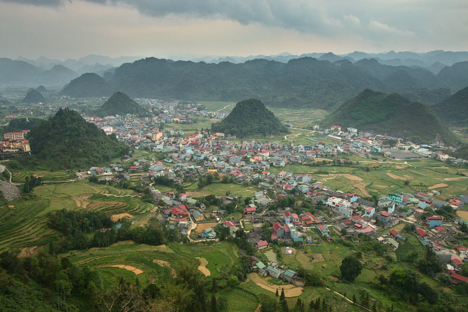 compassQuan Ba and Heaven’s Gatefirst pass into the geopark
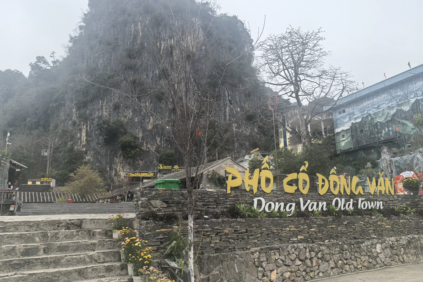 zineDong Van Old Quarterstone-town market memory
 atlasLung Cu Flag Tower and Border Villagesborder landscape and civic symbol
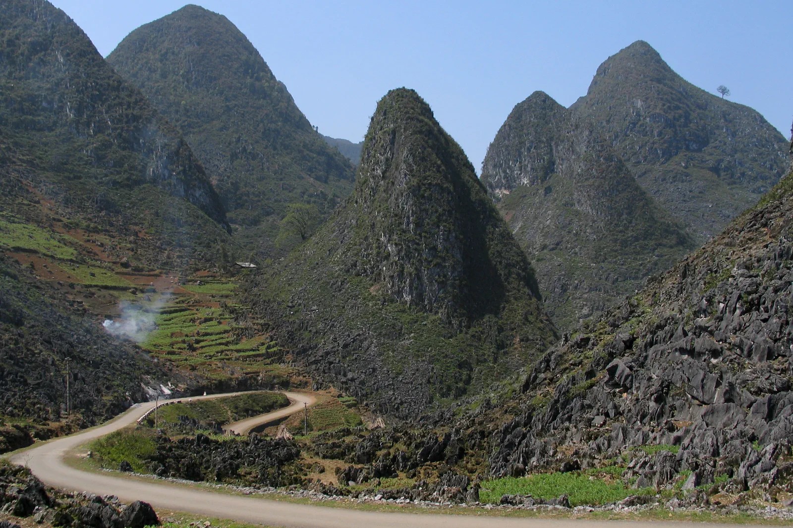 contourMa Pi Leng Pass and Nho Que Riverexposed pass and deep canyon
 signalMeo Vac to Du Gia Southbound Linkmarket finish and village recovery
Official sources and photo credits
Planning facts and image licenses were reviewed on 31 August 2026. Schedules, access, tickets, weather and operator terms change; verify directly before travel.
- UNESCO — Dong Van Karst Plateau UNESCO Global Geopark.
- Vietnam Tourism — Ha Giang.
- Vietnam Tourism — Ha Giang Loop road trip.
- Quản Bạ, Vietnam - 2.jpg — Benjamin Smith, CC BY-SA 4.0. Resized, display-cropped and converted to WebP; no other material edits.
- Tt. Yên Minh, Yên Minh, Hà Giang, Vietnam - panoramio.jpg — trungydang, CC BY 3.0. Resized, display-cropped and converted to WebP; no other material edits.
- Dong Van old town.jpg — HuangWending18072009, CC0. Resized, display-cropped and converted to WebP; no other material edits.
- Cột cờ Lũng Cú - Hà Giang.JPG — Leminhel, Public domain. Resized, display-cropped and converted to WebP; no other material edits.
- Le col de Ma Pi Leng (Dong Van-Meo Vac).jpg — Jaybeelarsay, CC BY-SA 3.0. Resized, display-cropped and converted to WebP; no other material edits.
- Du Già.jpg — NKSTTSSHNVN, CC BY-SA 4.0. Resized, display-cropped and converted to WebP; no other material edits.