Da Lat & Central Highlands Climb from cool city to living forest.
Da Lat is a gateway to a larger highland story: lakes and railway, coffee and farm work, Langbiang and K’Ho landscapes, Bidoup forest, Buon Ma Thuot waterfalls and Yok Don dry forest. Distances, elevation and seasonal rain should shape the order.
- Useful stay
- Use Da Lat as the comfortable highland base for city, lake, railway, farm and nearby mountain days; move to Buon Ma…
- Transfer logic
- Protect altitude and road time.
Open the place at the right scale.
Each card solves a different transport, access or conduct problem. None is a placeholder.
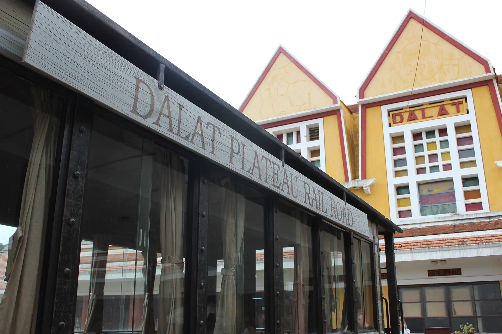
01Da Lat Lake & Railway Core
Start Da Lat with a walkable lake, market, architecture and railway chapter that explains the city before the highland roads begin.
Open the field guide →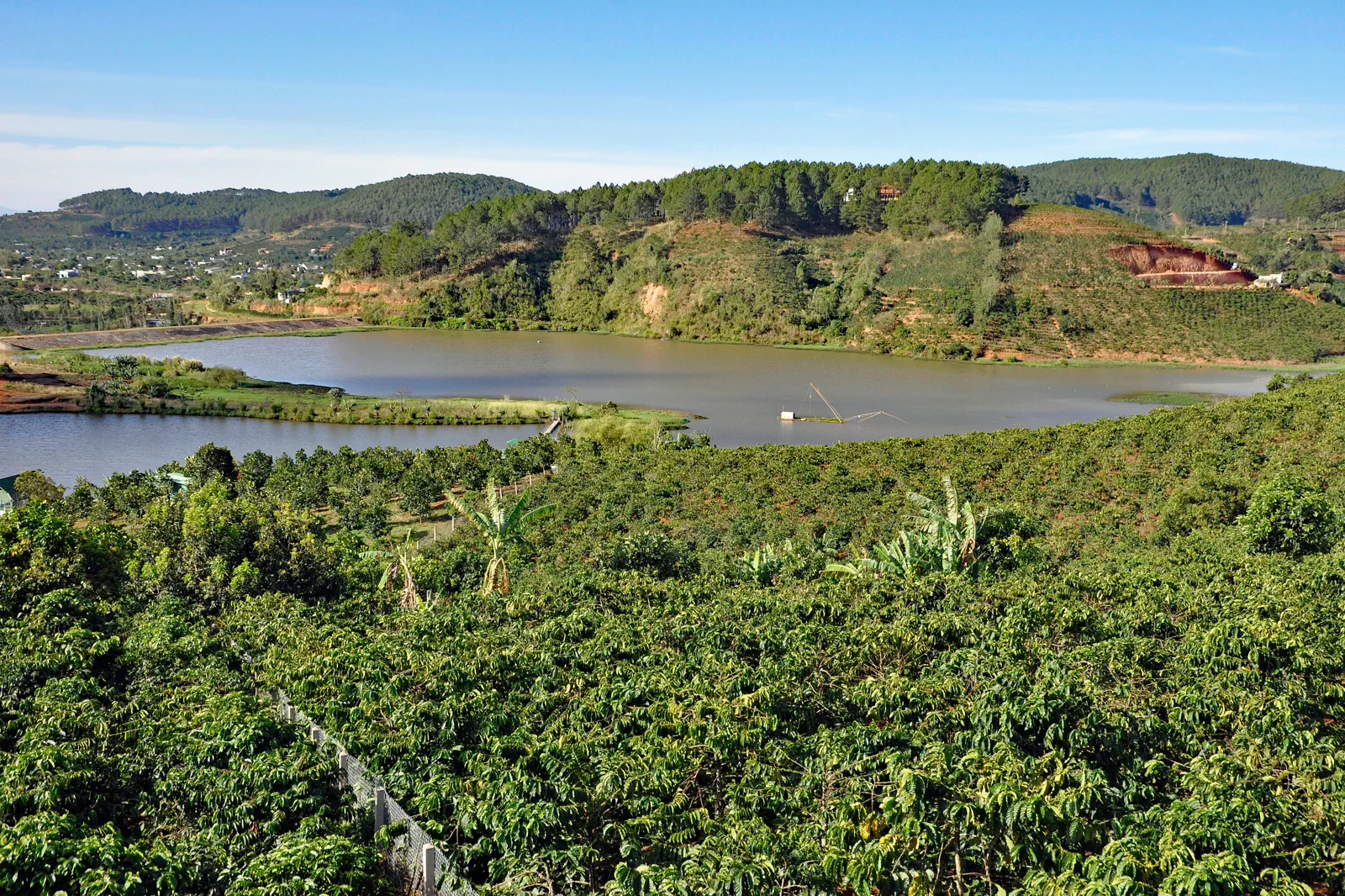 02
02Cau Dat Coffee & Farm Belt
Follow Da Lat’s farm belt through coffee, tea, flowers, processing and community livelihoods with a pre-booked, low-impact visit.
Open the field guide →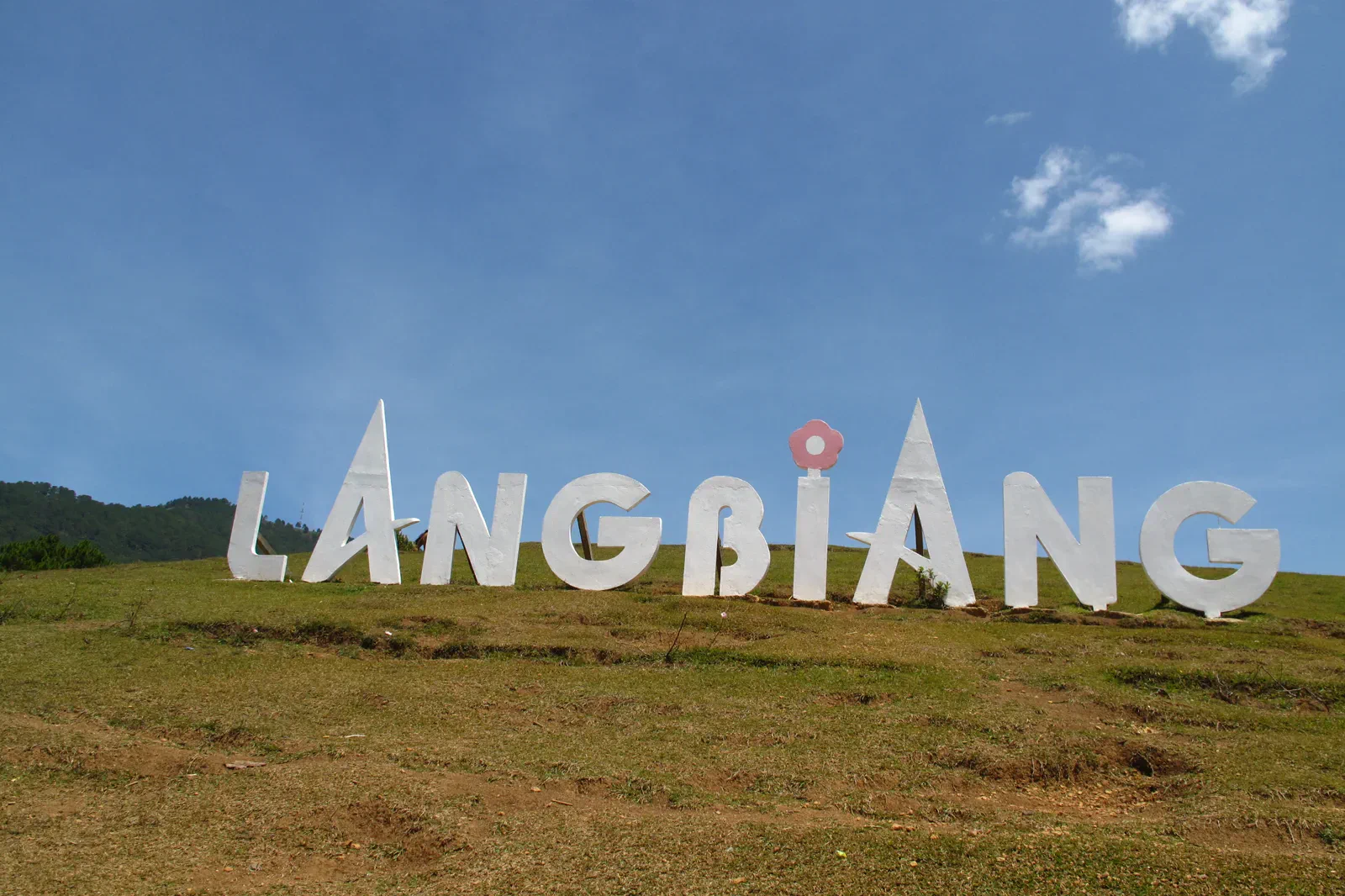 03
03Langbiang & K’Ho Highlands
Plan Langbiang as a mountain, plateau and K’Ho cultural landscape with weather, ability and consent kept visible at every elevation.
Open the field guide →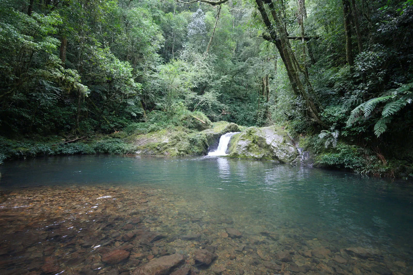 04
04Bidoup–Nui Ba National Park
Treat Bidoup–Nui Ba as a real protected-area expedition with guide, permit, route, accommodation and weather decisions—not a casual Da Lat detour.
Open the field guide →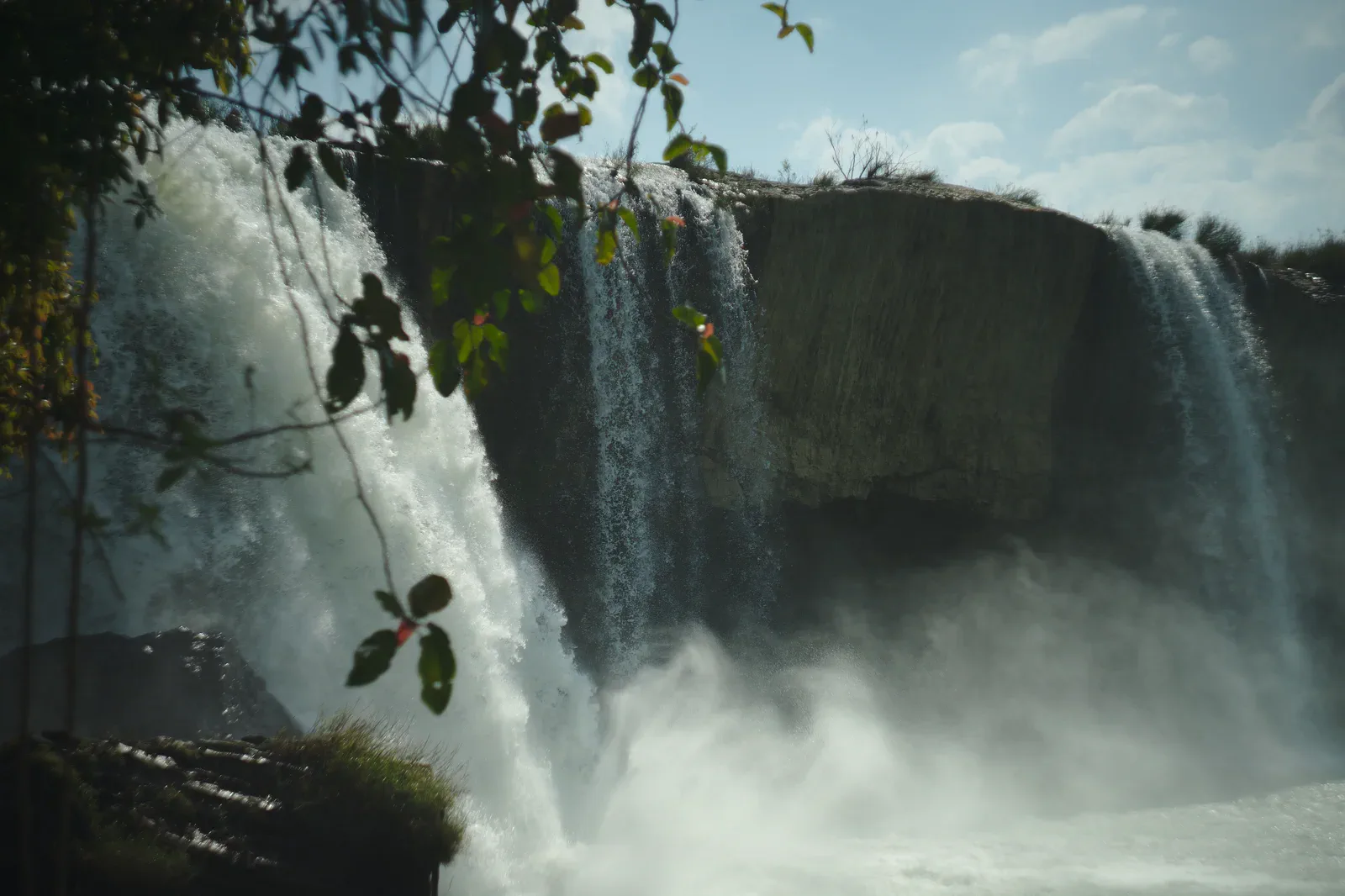 05
05Buon Ma Thuot & Dray Nur
Connect Buon Ma Thuot’s coffee and urban highland life with Dray Nur’s basalt river landscape as a separate inland day.
Open the field guide →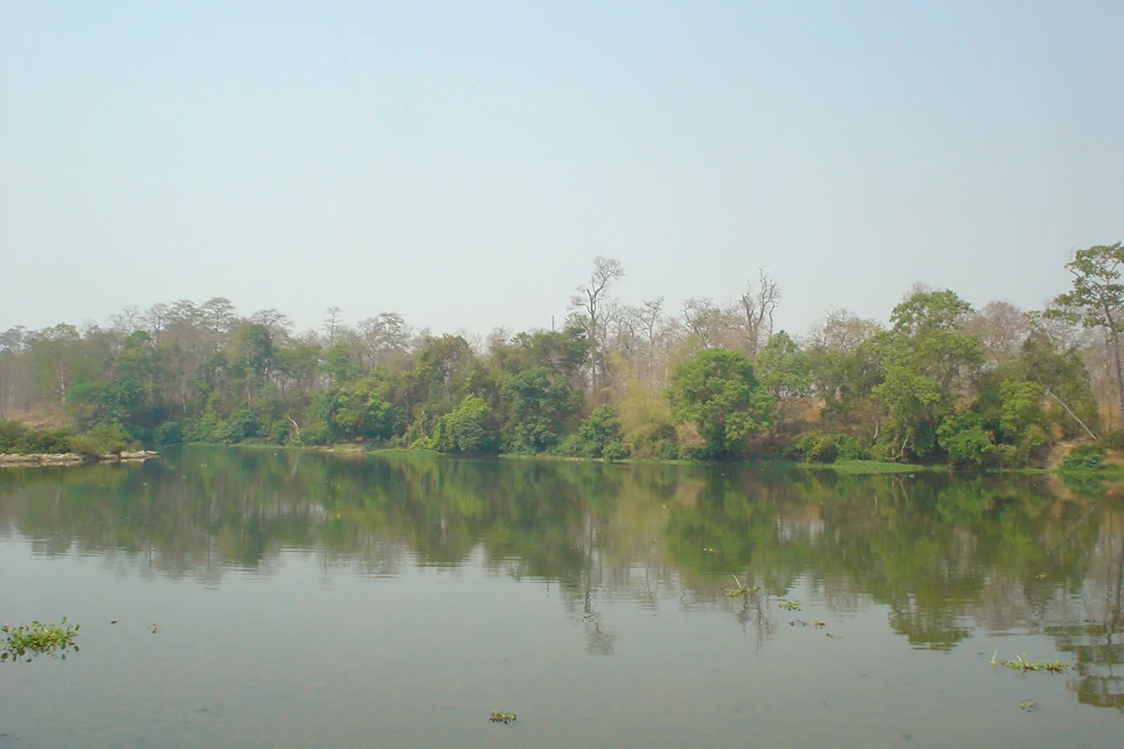 06
06Yok Don & Buon Don
Plan Yok Don and Buon Don around dry dipterocarp forest, Srepok River, ethical elephant observation and community-led knowledge.
Open the field guide →Six chapters, six different conditions.
Distance, weather, sacred space, working neighborhoods and protected landscapes cannot share one generic checklist.
Da Lat Lake & Railway Core
The airport lies outside town and buses arrive on their own schedules; once in the center, walking and taxis work well but steep streets and rain change the pace.
Keep the boundaryProtect working streets and heritage: do not enter railway service areas, block vendors, photograph private interiors or treat religious buildings as props.Cau Dat Coffee & Farm Belt
Cau Dat and surrounding farms sit outside the city core on winding roads; use a pre-arranged driver or verified tour and expect fog, rain and slower travel.
Keep the boundaryProtect crops and communities: ask before entering fields or photographing workers, do not pick plants, and do not use “sustainable” claims without the operator’s evidence.Langbiang & K’Ho Highlands
Use a verified vehicle to the current trailhead or visitor area. Cloud, rain, road condition and local access rules can change the sensible route.
Keep the boundaryProtect reserve and community boundaries: no plant collection, off-trail shortcuts, loud music, trespass or unconsented cultural photography.Bidoup–Nui Ba National Park
Arrange park contact, guide, permit, transport, food and lodging ahead of time. Roads, streams, signal and rescue response are limited compared with Da Lat.
Keep the boundaryProtect the national park: stay on permitted routes, do not collect orchids or other plants, feed animals, light unauthorized fires or leave plastic.Buon Ma Thuot & Dray Nur
Reach Buon Ma Thuot by regional transport, then use a confirmed car or local operator for the rural road. Wet-season conditions can lengthen the last segment.
Keep the boundaryProtect river and community space: do not enter closed water, climb barriers, disturb sacred areas, photograph residents without consent or leave food and plastic behind.Yok Don & Buon Don
The park is a substantial road transfer west of Buon Ma Thuot. Confirm the park center, guide, payment, food, signal and return vehicle before leaving the city.
Keep the boundaryProtect wildlife and communities: choose no-riding observation, never feed or approach elephants, stay with staff, respect Ede and M’Nông villages and leave no trace.Protect the transfer before adding the view.
This is an editorial sequence, not a promise that every activity operates every day.
Da Lat Lake & Railway Core
Begin at the lake and market, move through one architectural or railway layer, pause for a warm drink, then use the station excursion only after confirming current operation.
Chapter 02Cau Dat Coffee & Farm Belt
Confirm the host, walk only permitted paths, learn how coffee or tea is grown and processed, then return before visibility and road conditions deteriorate.
Chapter 03Langbiang & K’Ho Highlands
Check the mountain and reserve notice, acclimatize to the climb, follow marked or guided routes, and return before cloud, rain or darkness removes the road margin.
Chapter 04Bidoup–Nui Ba National Park
Register, brief the group, enter with the guide, move by the approved transect, camp or stay only where authorized, then exit with a clear route and daylight margin.
Chapter 05Buon Ma Thuot & Dray Nur
Read the city and coffee context first, travel to the falls in daylight, stay within permitted viewpoints or water areas, then return before river conditions and visibility change.
Chapter 06Yok Don & Buon Don
Check rain and heat, meet the park team, enter the appropriate forest or river program, observe without pursuit, then return with a full daylight and road buffer.
Da Lat & Central Highlands FAQ
How much time should Da Lat Lake & Railway Core receive?
Use a half day for the lake and center, or a full flexible day when the railway and market both matter.
How much time should Cau Dat Coffee & Farm Belt receive?
Use a half or full day for one substantive farm experience, including transport and a slow conversation with the host.
How much time should Langbiang & K’Ho Highlands receive?
Use a half day for a managed nearby route or a full day for a more demanding hike with a guide and weather buffer.
How much time should Bidoup–Nui Ba National Park receive?
Reserve one to two days for an official route, depending on the park’s current offerings and the group’s ability.
How much time should Buon Ma Thuot & Dray Nur receive?
Use a full day for city context plus Dray Nur, or separate the urban and waterfall readings when the group wants a slower route.
How much time should Yok Don & Buon Don receive?
Reserve a full day for a focused park program, or an overnight only when official accommodation and transport are confirmed.
Official sources and photo credits
Planning facts and image licenses were reviewed on 31 August 2026. Recheck transport, entry, weather, park and operator conditions before travel.
- Vietnam Tourism — Da Lat city, railway, coffee, weather and transport.
- Bidoup–Nui Ba National Park — official ecological routes and visitor information.
- UNESCO Man and the Biosphere — Langbiang Biosphere Reserve.
- Yok Don National Park — official English visitor and ecology information.
- National Biodiversity Conservation — Yok Don National Park.
- Da Lat Railway Station — Lars Curfs (Grashoofd), CC BY-SA 3.0 nl. Resized, display-cropped and converted to WebP; no other material edits.
- Coffee Plantation near Da Lat — P. Hughes, CC BY 4.0. Resized, display-cropped and converted to WebP; no other material edits.
- Langbiang Mountain — Tilamdong, Public domain. Resized, display-cropped and converted to WebP; no other material edits.
- Hon Giao, Bidoup Nui Ba National Park — Dotrihieu, CC BY-SA 4.0. Resized, display-cropped and converted to WebP; no other material edits.
- Dray Nur Waterfall — Sketyl none, CC BY 2.0. Resized, display-cropped and converted to WebP; no other material edits.
- Yok Don National Park in the dry season — Đỗ Tuấn Hưng, CC BY-SA 3.0. Resized, display-cropped and converted to WebP; no other material edits.