Buon Ma Thuot & Dray Nur Coffee city, basalt water.
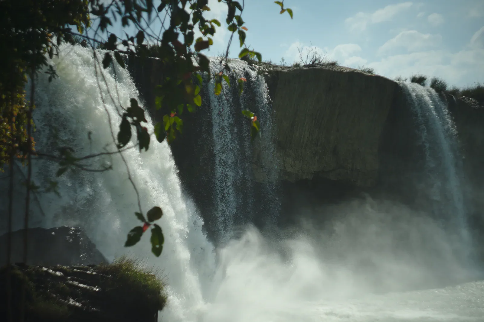
Connect Buon Ma Thuot’s coffee and urban highland life with Dray Nur’s basalt river landscape as a separate inland day.
Reach Buon Ma Thuot by regional transport, then use a confirmed car or local operator for the rural road. Wet-season conditions can lengthen the last segment.
Read the city and coffee context first, travel to the falls in daylight, stay within permitted viewpoints or water areas, then return before river conditions and visibility change.
Protect river and community space: do not enter closed water, climb barriers, disturb sacred areas, photograph residents without consent or leave food and plastic behind.
Keep the local logic visible.
Buon Ma Thuot is more than a coffee label, and Dray Nur is more than a waterfall. The route works when production, river geology, local communities and water safety stay in the same frame.
Let sequence do the editing.
Read the city and coffee context first, travel to the falls in daylight, stay within permitted viewpoints or water areas, then return before river conditions and visibility change.
Set the city base
Confirm accommodation, transport, water and a driver before committing to a rural waterfall day.
Read the coffee context
Use a credible local interpretation or market visit to understand the crop and region without reducing people to a commodity story.
Approach the basalt
Follow marked paths and observe river, rock and spray from safe ground; enter water only where current staff permit it.
Return before change
Leave enough time for the rural road, rain and a safe city return; do not add Yok Don after an already physical waterfall day.
Three weak points to solve.
Conditions change faster than an editorial page. Verify the named official source, actual operator and local weather close to travel.
River force
Water level, slippery basalt and hidden currents can change quickly; obey barriers and do not swim where staff do not permit it.
Rural road
Rain, potholes and low visibility can make the return slower; use a reliable vehicle and avoid dark-road improvisation.
Living culture
Coffee, village and religious spaces need context and consent; do not photograph workers, rituals or homes as anonymous scenery.
Protect river and community space: do not enter closed water, climb barriers, disturb sacred areas, photograph residents without consent or leave food and plastic behind.
Buon Ma Thuot & Dray Nur FAQ
How much time should Buon Ma Thuot & Dray Nur receive?
Use a full day for city context plus Dray Nur, or separate the urban and waterfall readings when the group wants a slower route.
Can I combine Buon Ma Thuot & Dray Nur with another major chapter?
Combine with a Buon Ma Thuot city stay; reserve Yok Don for another day with its own guide and dry-forest conditions.
What should I verify before leaving?
Check local attraction notices, rainfall and river conditions, safe water areas, vehicle status and the return route before leaving town.
Choose the next chapter by purpose.
Return to the hub before joining distant branches into one day.
Official sources and photo credits
Planning facts and image licenses were reviewed on 31 August 2026. Schedules, access, tickets, weather and operator terms change; verify directly before travel.
- Vietnam Tourism — Da Lat city, railway, coffee, weather and transport.
- Bidoup–Nui Ba National Park — official ecological routes and visitor information.
- UNESCO Man and the Biosphere — Langbiang Biosphere Reserve.
- Yok Don National Park — official English visitor and ecology information.
- National Biodiversity Conservation — Yok Don National Park.
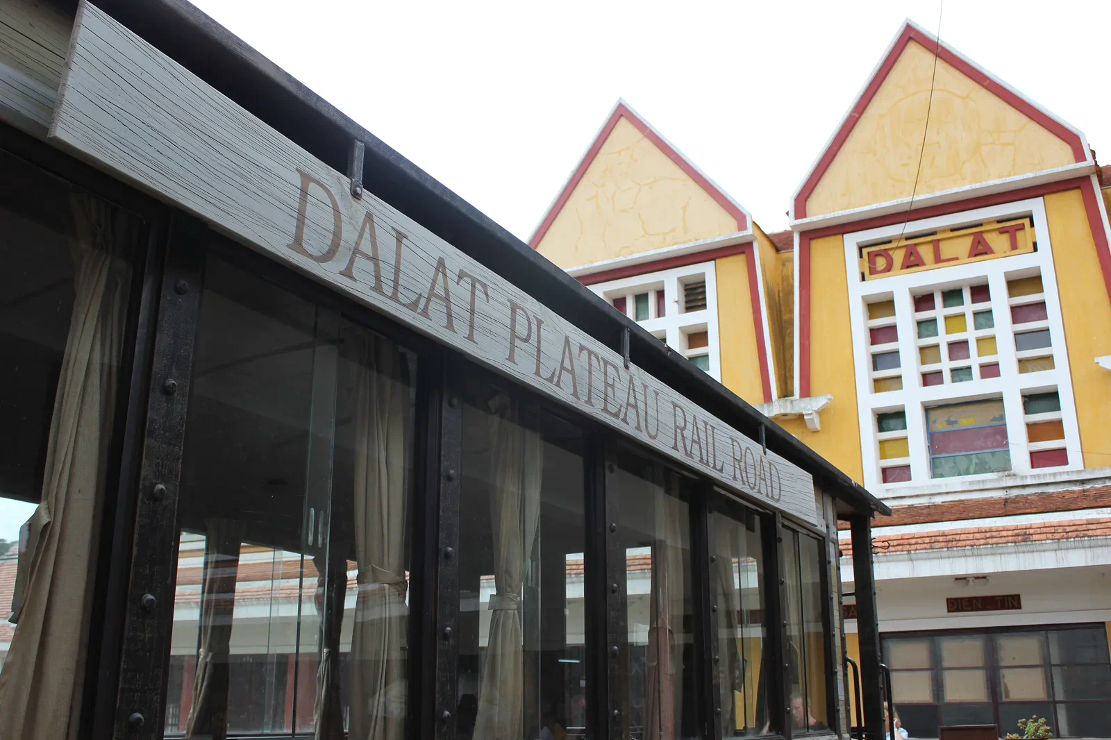
- Da Lat Railway Station — Lars Curfs (Grashoofd), CC BY-SA 3.0 nl. Resized, display-cropped and converted to WebP; no other material edits.
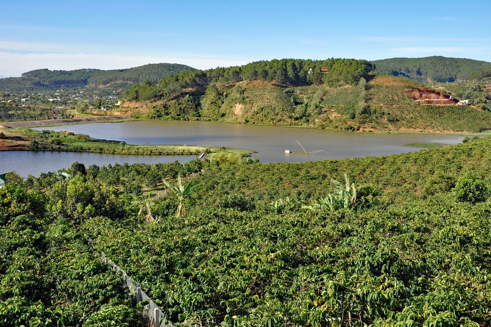
- Coffee Plantation near Da Lat — P. Hughes, CC BY 4.0. Resized, display-cropped and converted to WebP; no other material edits.
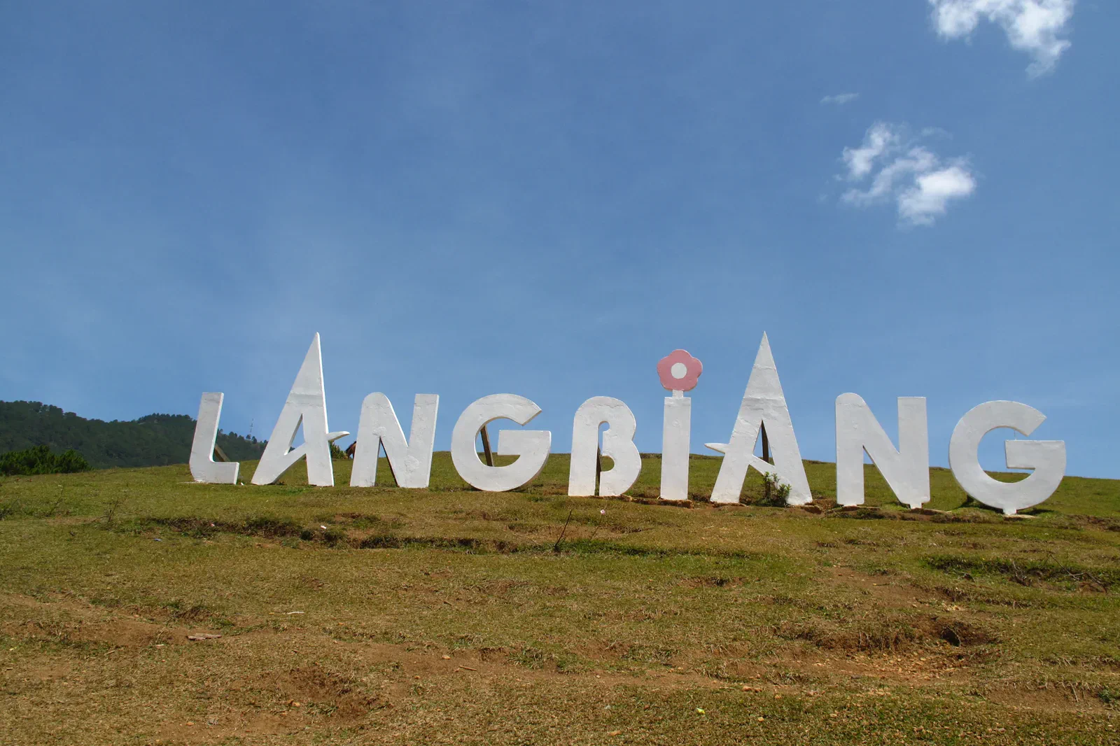
- Langbiang Mountain — Tilamdong, Public domain. Resized, display-cropped and converted to WebP; no other material edits.
- Hon Giao, Bidoup Nui Ba National Park — Dotrihieu, CC BY-SA 4.0. Resized, display-cropped and converted to WebP; no other material edits.
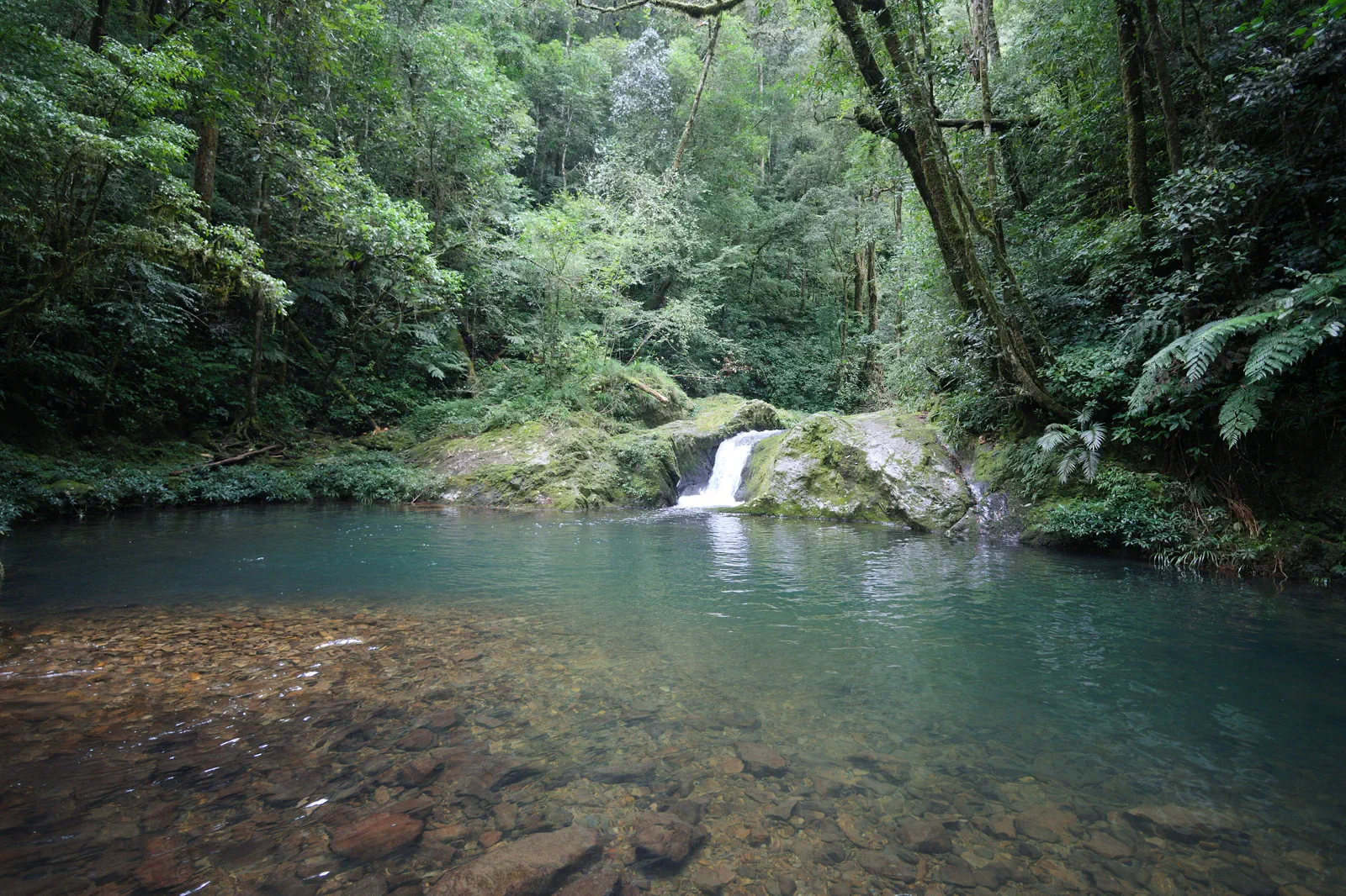
- Dray Nur Waterfall — Sketyl none, CC BY 2.0. Resized, display-cropped and converted to WebP; no other material edits.
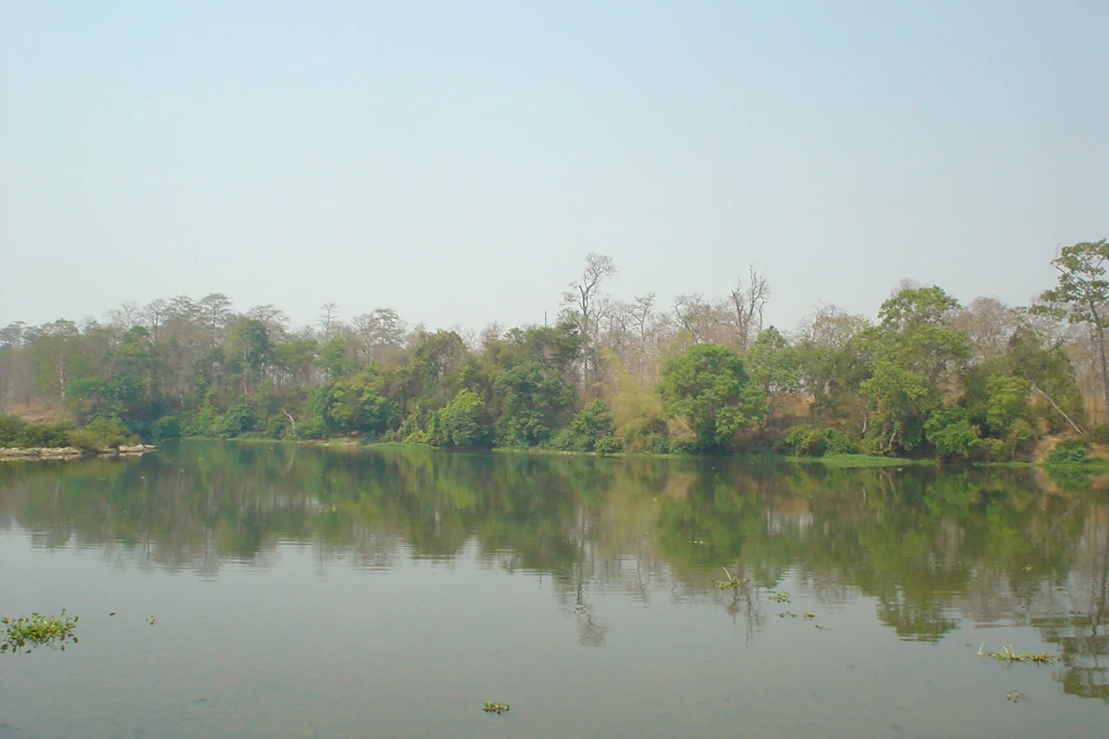
- Yok Don National Park in the dry season — Đỗ Tuấn Hưng, CC BY-SA 3.0. Resized, display-cropped and converted to WebP; no other material edits.