Da Lat Lake & Railway Core The cool-city hinge.
Start Da Lat with a walkable lake, market, architecture and railway chapter that explains the city before the highland roads begin.
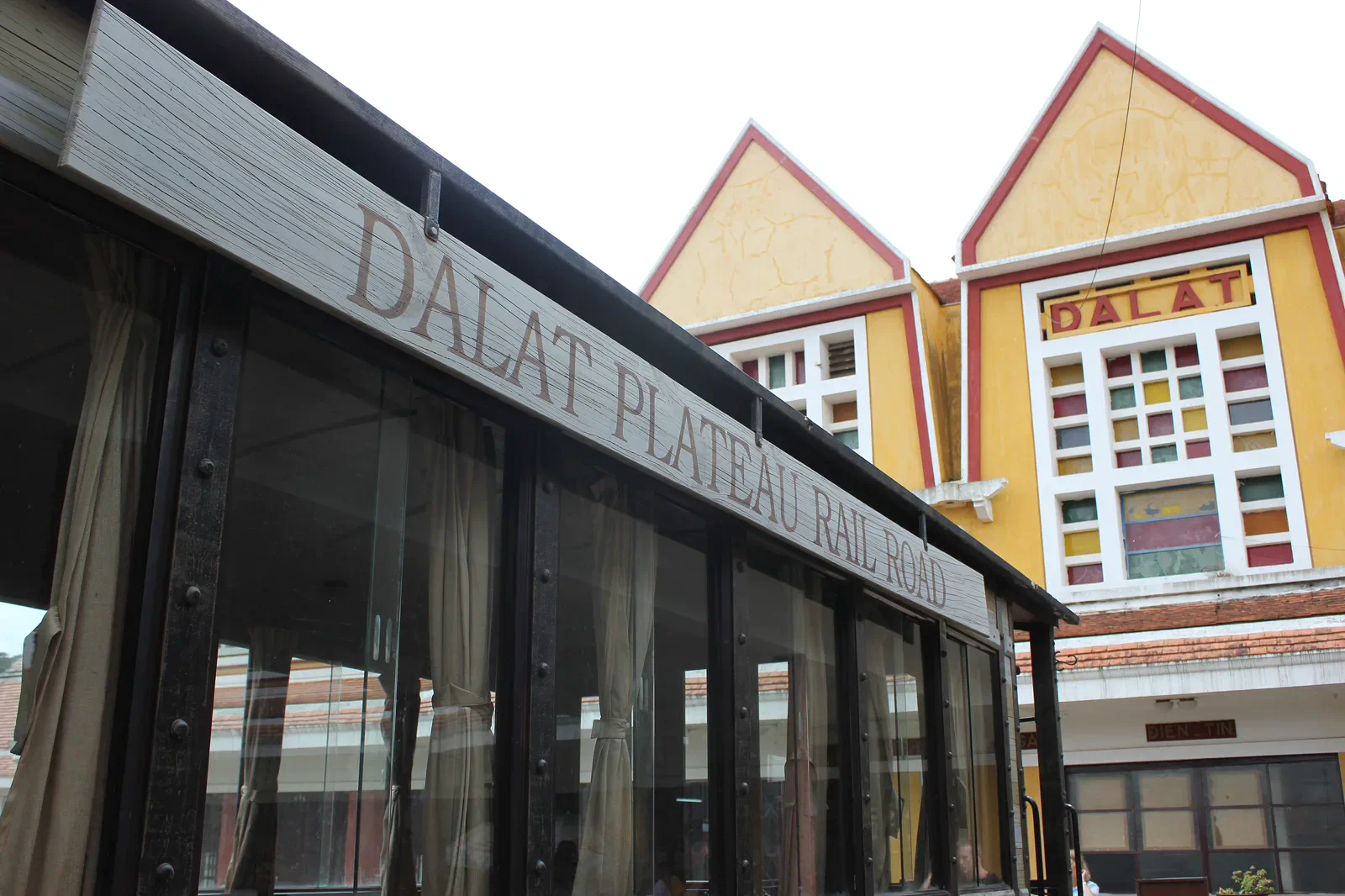
The airport lies outside town and buses arrive on their own schedules; once in the center, walking and taxis work well but steep streets and rain change the pace.
Begin at the lake and market, move through one architectural or railway layer, pause for a warm drink, then use the station excursion only after confirming current operation.
Protect working streets and heritage: do not enter railway service areas, block vendors, photograph private interiors or treat religious buildings as props.
Keep the local logic visible.
Da Lat’s center is a useful hinge between colonial-era urban form, flower and produce commerce, lake life and the short railway experience toward Trai Mat. It rewards a slower city reading.
Let sequence do the editing.
Begin at the lake and market, move through one architectural or railway layer, pause for a warm drink, then use the station excursion only after confirming current operation.
Settle the altitude
Arrive with layers, rain protection and a gentle first walk; the cooler climate does not remove sun or slippery pavement.
Read the lake
Follow the public edge, market and streets to see how residents use the center before adding a separate attraction.
Check the rail
Confirm current train operation and ticket details, then stay within station and carriage rules while reading the route to Trai Mat.
Return to town
Use the return window for food, rest and a weather check rather than forcing a distant waterfall or mountain road into the same day.
Three weak points to solve.
Conditions change faster than an editorial page. Verify the named official source, actual operator and local weather close to travel.
Rain and cool
Rain can arrive quickly and evenings are cool; carry a layer and avoid assuming the city is always dry or warm.
Slope and traffic
Steep streets, scooters and uneven pavements require deliberate crossings and slower walking.
Schedule drift
Railway operation and attraction access can change; do not book a fixed onward transfer immediately after the excursion.
Protect working streets and heritage: do not enter railway service areas, block vendors, photograph private interiors or treat religious buildings as props.
Da Lat Lake & Railway Core FAQ
How much time should Da Lat Lake & Railway Core receive?
Use a half day for the lake and center, or a full flexible day when the railway and market both matter.
Can I combine Da Lat Lake & Railway Core with another major chapter?
Combine with a city café or pagoda, not with Bidoup or a long waterfall road that needs daylight and weather margin.
What should I verify before leaving?
Check current airport or bus arrival, railway operation, weather, station access and any local event or road restriction before setting the day.
Choose the next chapter by purpose.
Return to the hub before joining distant branches into one day.
Official sources and photo credits
Planning facts and image licenses were reviewed on 31 August 2026. Schedules, access, tickets, weather and operator terms change; verify directly before travel.
- Vietnam Tourism — Da Lat city, railway, coffee, weather and transport.
- Bidoup–Nui Ba National Park — official ecological routes and visitor information.
- UNESCO Man and the Biosphere — Langbiang Biosphere Reserve.
- Yok Don National Park — official English visitor and ecology information.
- National Biodiversity Conservation — Yok Don National Park.
- Da Lat Railway Station — Lars Curfs (Grashoofd), CC BY-SA 3.0 nl. Resized, display-cropped and converted to WebP; no other material edits.
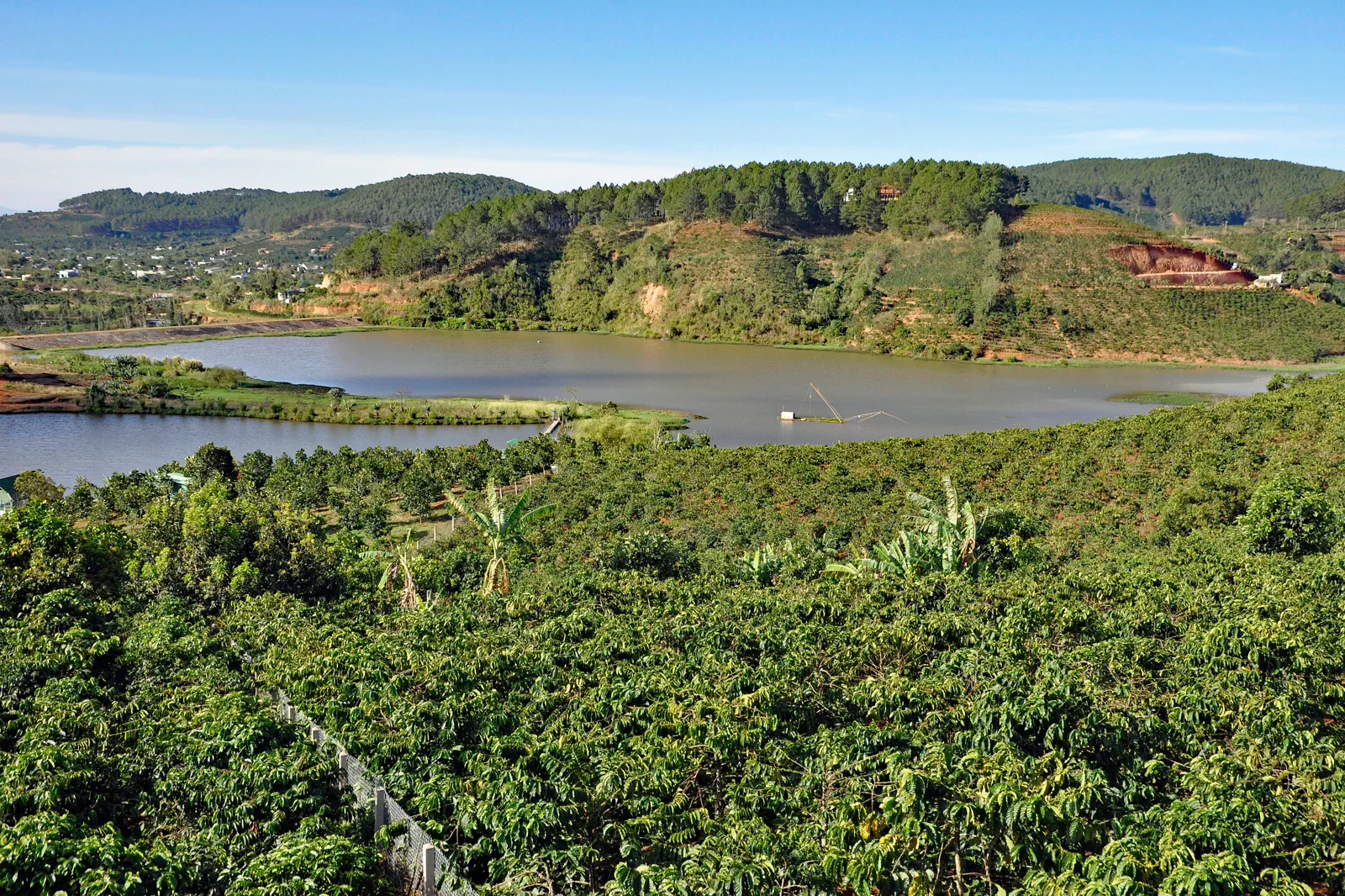
- Coffee Plantation near Da Lat — P. Hughes, CC BY 4.0. Resized, display-cropped and converted to WebP; no other material edits.
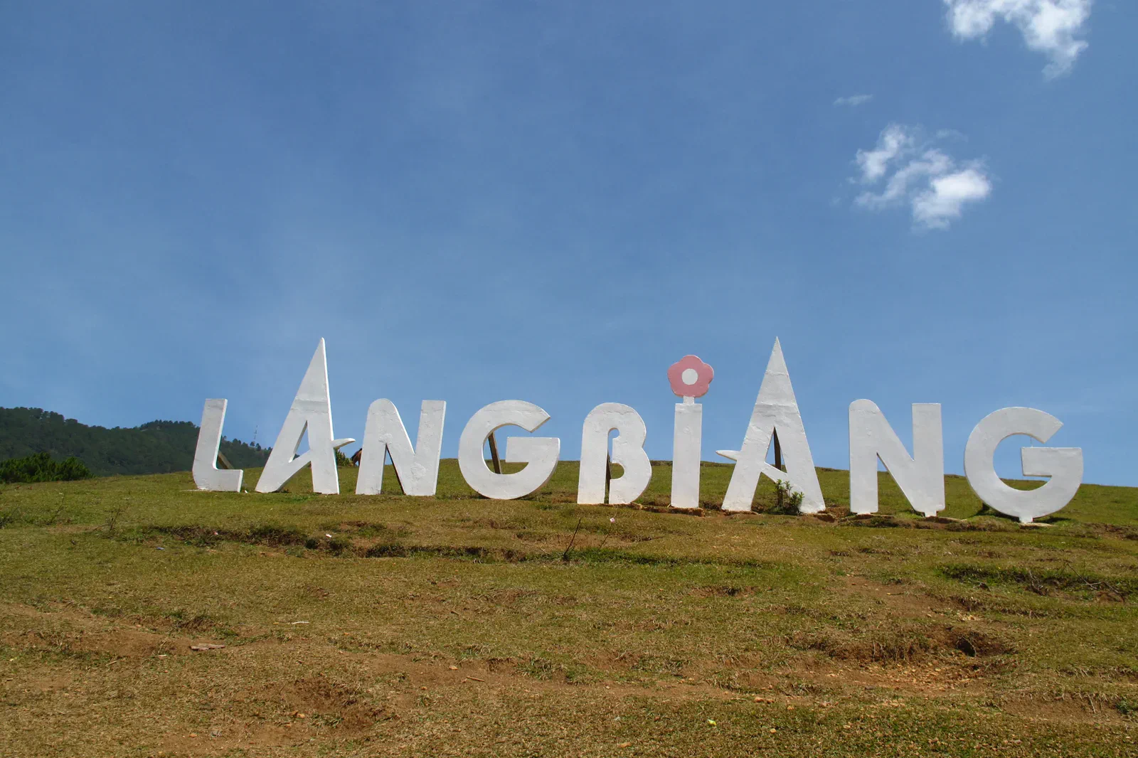
- Langbiang Mountain — Tilamdong, Public domain. Resized, display-cropped and converted to WebP; no other material edits.
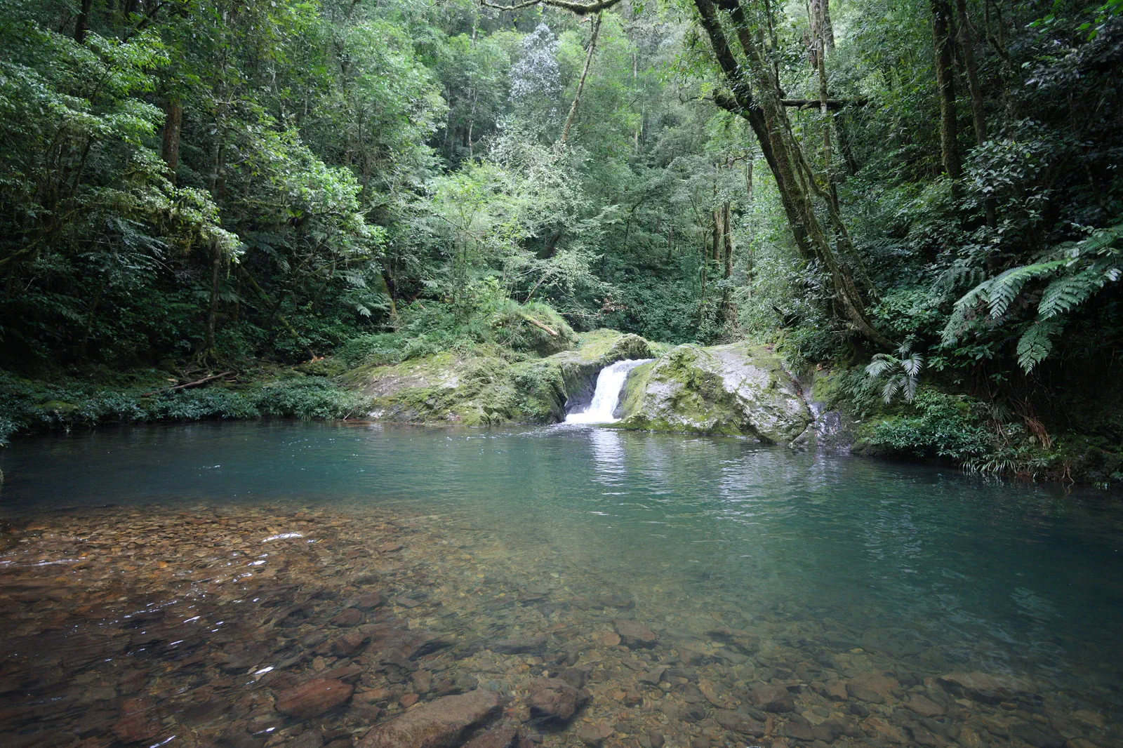
- Hon Giao, Bidoup Nui Ba National Park — Dotrihieu, CC BY-SA 4.0. Resized, display-cropped and converted to WebP; no other material edits.
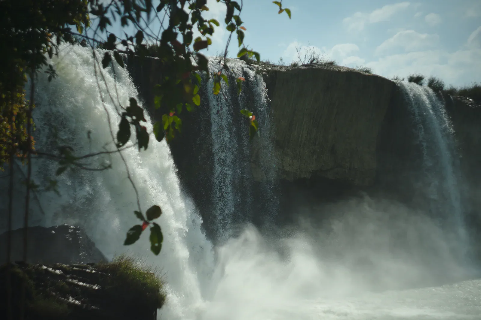
- Dray Nur Waterfall — Sketyl none, CC BY 2.0. Resized, display-cropped and converted to WebP; no other material edits.
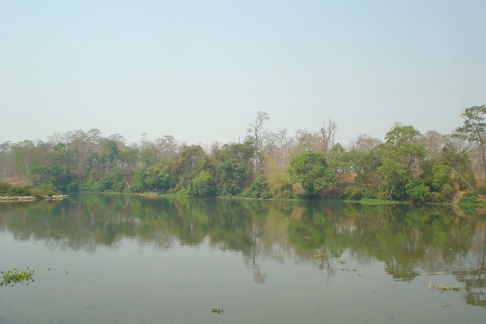
- Yok Don National Park in the dry season — Đỗ Tuấn Hưng, CC BY-SA 3.0. Resized, display-cropped and converted to WebP; no other material edits.