Langbiang & K’Ho Highlands The mountain and its people.
Plan Langbiang as a mountain, plateau and K’Ho cultural landscape with weather, ability and consent kept visible at every elevation.
Use a verified vehicle to the current trailhead or visitor area. Cloud, rain, road condition and local access rules can change the sensible route.
Check the mountain and reserve notice, acclimatize to the climb, follow marked or guided routes, and return before cloud, rain or darkness removes the road margin.
Protect reserve and community boundaries: no plant collection, off-trail shortcuts, loud music, trespass or unconsented cultural photography.
Keep the local logic visible.
Langbiang is both a recognizable summit and part of a larger biosphere reserve landscape. The page should make elevation, forest, community and visitor behavior equally legible.
Let sequence do the editing.
Check the mountain and reserve notice, acclimatize to the climb, follow marked or guided routes, and return before cloud, rain or darkness removes the road margin.
Choose the elevation
Match route length and altitude to the group, then check the current trailhead, transport and weather before leaving Da Lat.
Climb by contour
Move slowly through pine and open highland terrain, watching cloud, footing and the return time rather than chasing a summit label.
Meet with consent
Use community-led interpretation where available and ask before photographing people, homes, ceremonies or craft work.
Descend with margin
Leave the high point before weather closes in, keep the route intact and return to Da Lat without another late mountain transfer.
Three weak points to solve.
Conditions change faster than an editorial page. Verify the named official source, actual operator and local weather close to travel.
Visibility change
Cloud, rain and wind can erase views and make trails or roads hazardous; a viewpoint is optional, a safe return is not.
Altitude and footing
Even modest highland climbs can expose fatigue, cold, wet rock and uneven ground; carry layers and water.
Cultural consent
K’Ho communities are not scenery; use permission-based, community-led experiences and avoid sacred or private areas.
Protect reserve and community boundaries: no plant collection, off-trail shortcuts, loud music, trespass or unconsented cultural photography.
Langbiang & K’Ho Highlands FAQ
How much time should Langbiang & K’Ho Highlands receive?
Use a half day for a managed nearby route or a full day for a more demanding hike with a guide and weather buffer.
Can I combine Langbiang & K’Ho Highlands with another major chapter?
Combine with Da Lat city only after the mountain return; keep Bidoup as a separate protected-area commitment.
What should I verify before leaving?
Check UNESCO reserve context, local park or trail notices, current access, guide needs, weather and the group’s ability before climbing.
Choose the next chapter by purpose.
Return to the hub before joining distant branches into one day.
Official sources and photo credits
Planning facts and image licenses were reviewed on 31 August 2026. Schedules, access, tickets, weather and operator terms change; verify directly before travel.
- Vietnam Tourism — Da Lat city, railway, coffee, weather and transport.
- Bidoup–Nui Ba National Park — official ecological routes and visitor information.
- UNESCO Man and the Biosphere — Langbiang Biosphere Reserve.
- Yok Don National Park — official English visitor and ecology information.
- National Biodiversity Conservation — Yok Don National Park.
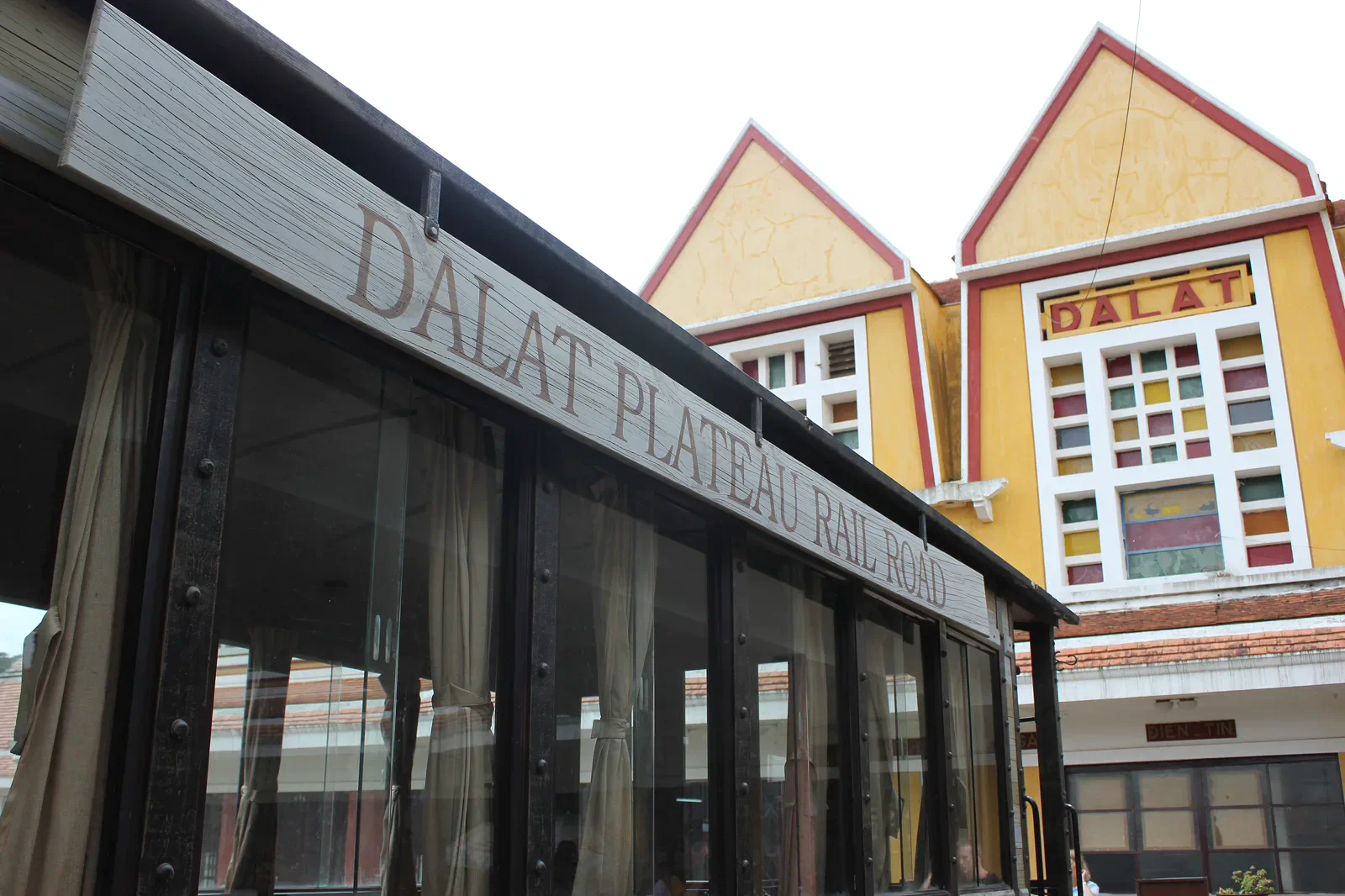
- Da Lat Railway Station — Lars Curfs (Grashoofd), CC BY-SA 3.0 nl. Resized, display-cropped and converted to WebP; no other material edits.
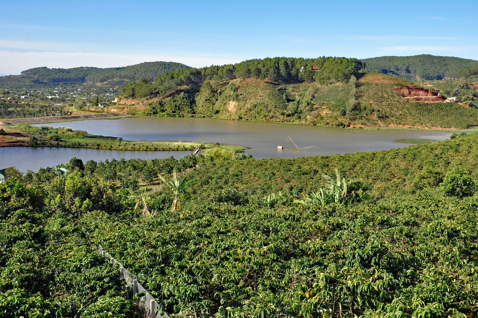
- Coffee Plantation near Da Lat — P. Hughes, CC BY 4.0. Resized, display-cropped and converted to WebP; no other material edits.
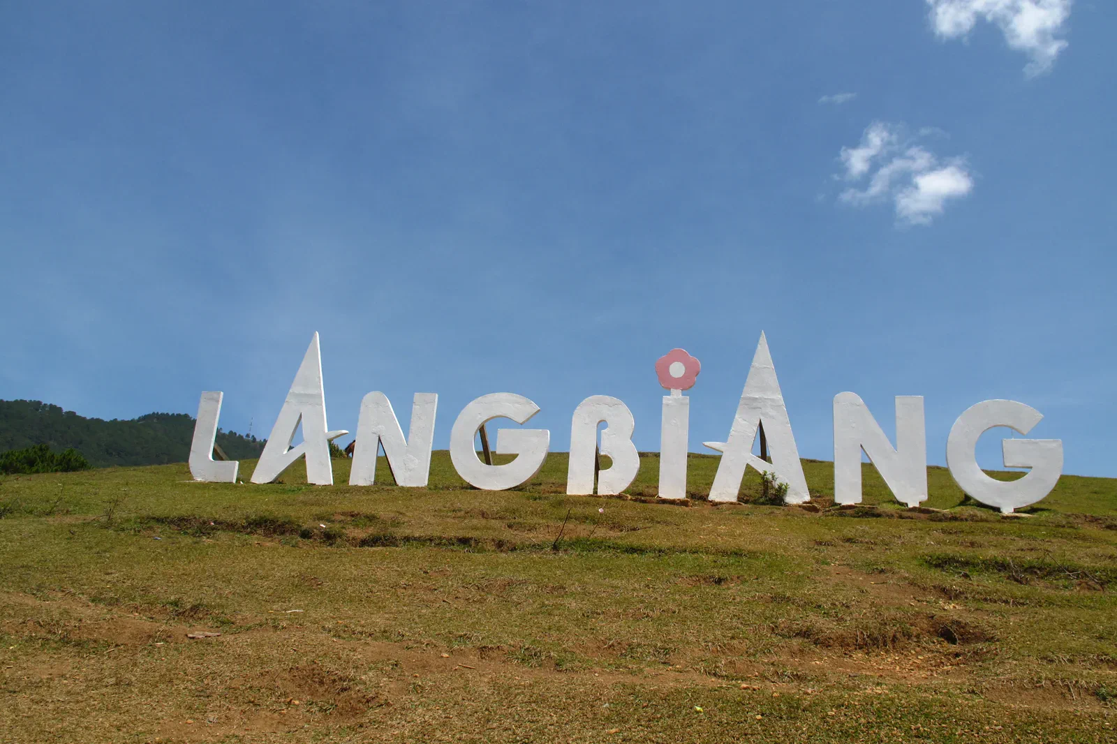
- Langbiang Mountain — Tilamdong, Public domain. Resized, display-cropped and converted to WebP; no other material edits.
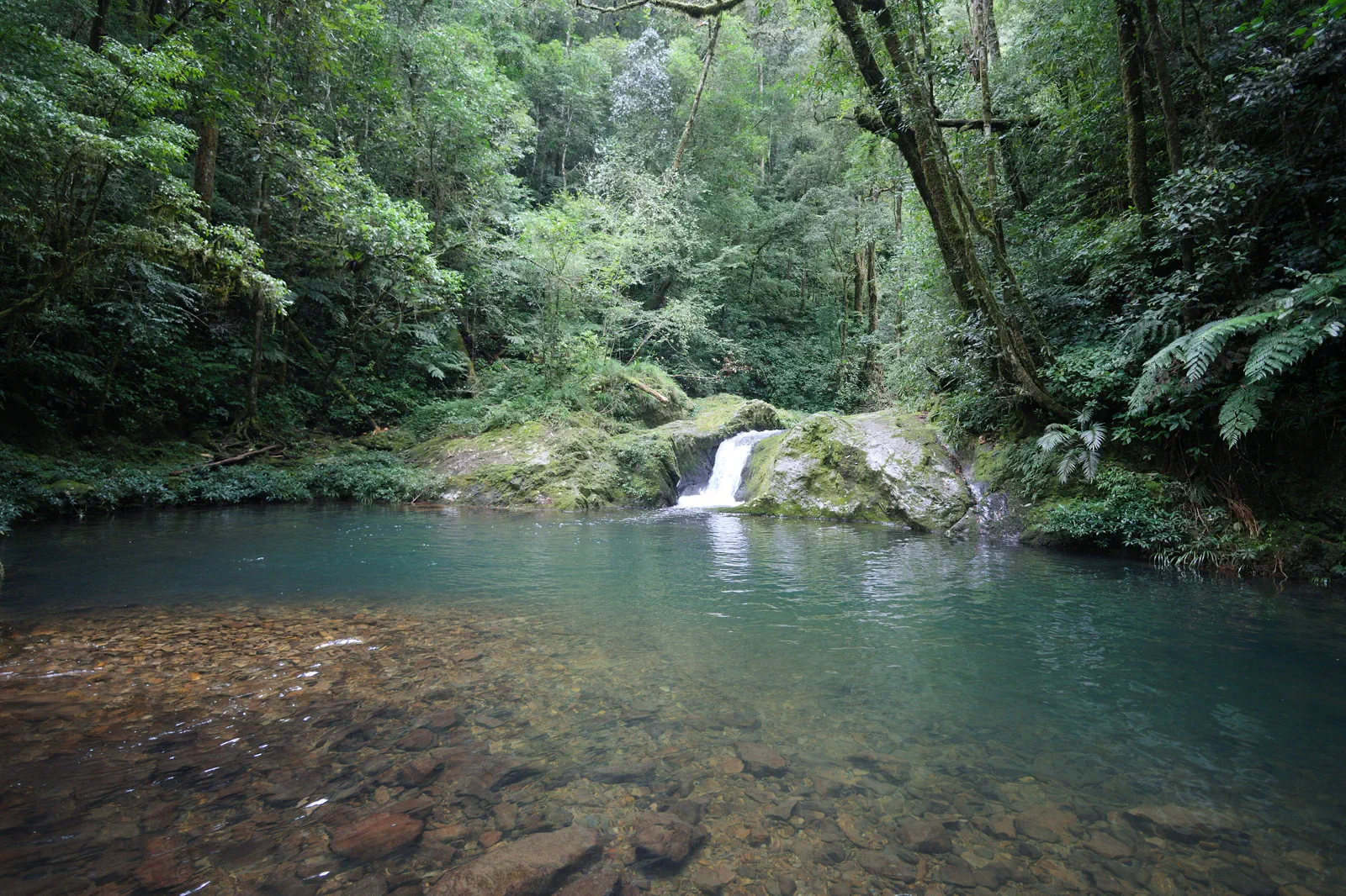
- Hon Giao, Bidoup Nui Ba National Park — Dotrihieu, CC BY-SA 4.0. Resized, display-cropped and converted to WebP; no other material edits.
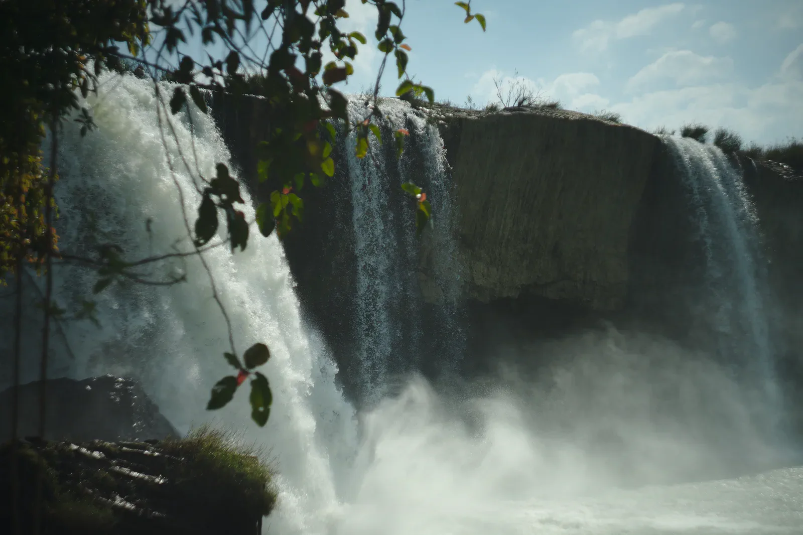
- Dray Nur Waterfall — Sketyl none, CC BY 2.0. Resized, display-cropped and converted to WebP; no other material edits.
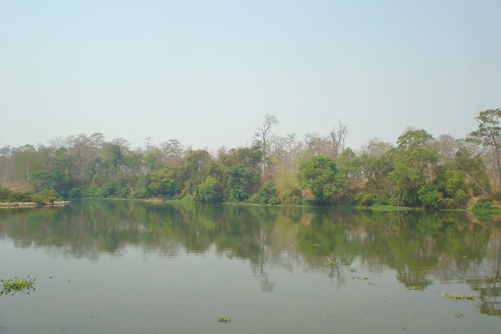
- Yok Don National Park in the dry season — Đỗ Tuấn Hưng, CC BY-SA 3.0. Resized, display-cropped and converted to WebP; no other material edits.