Thu Thiem–Thao Dien Riverfront two-bank urban seam.
Compare Thu Thiem’s developing riverfront with Thao Dien’s established neighborhood life through a two-bank route that respects construction and resident space.
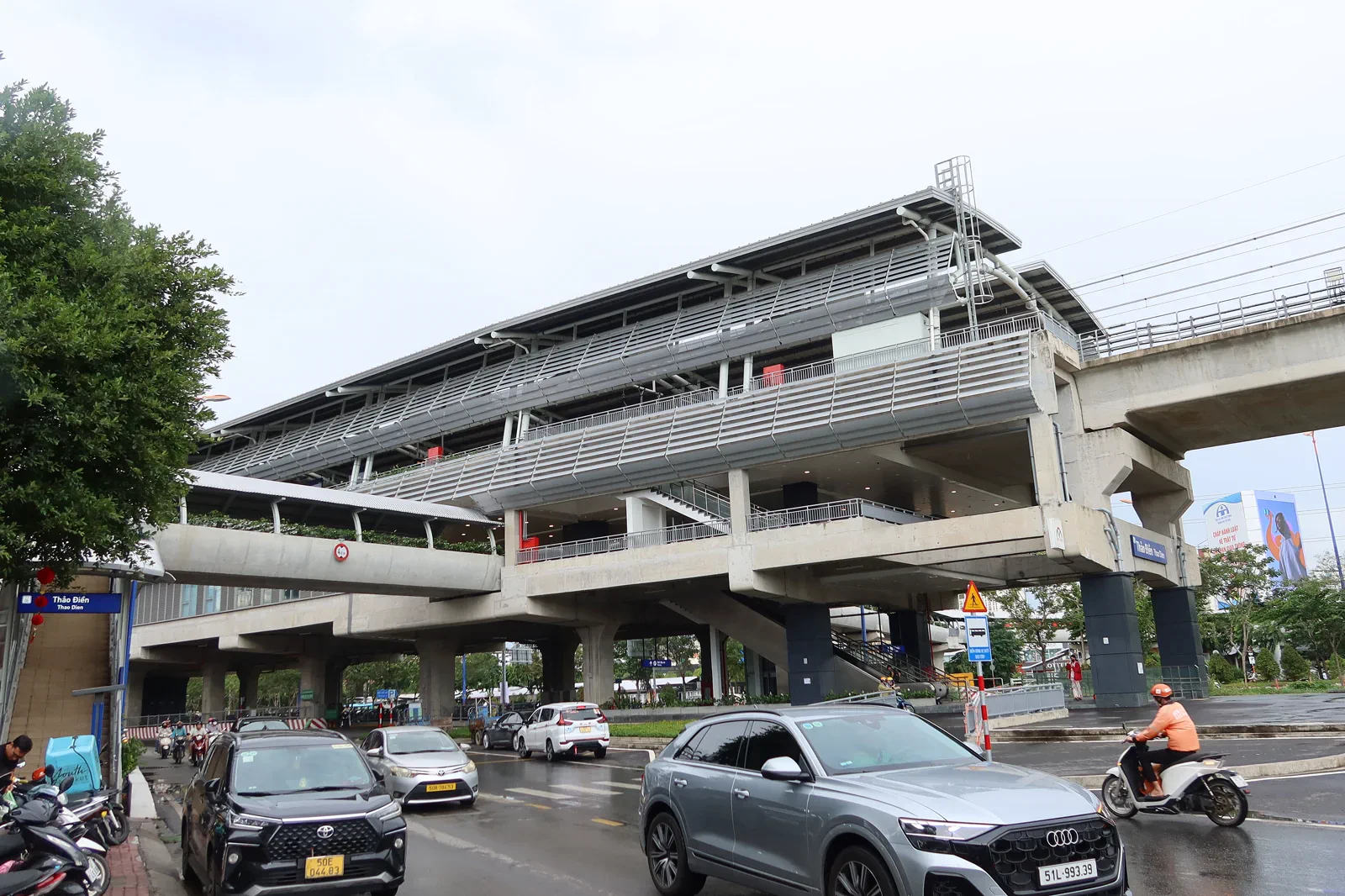
Use a current metro, waterbus or road connection and check the exact exit. The final walk may cross unfinished sidewalks, bridges or construction diversions.
One bank, a safe crossing, one neighborhood pocket and a sunset-ready exit provide enough contrast.
Construction fences and residential courtyards are boundaries, not scenic shortcuts. Keep cameras away from private balconies and active work.
Keep the local logic visible.
The east side of the Saigon River is a city in transition. New parks and skyline views sit beside active construction, while Thao Dien combines transport, apartments, small businesses and river-facing streets.
Let sequence do the editing.
One bank, a safe crossing, one neighborhood pocket and a sunset-ready exit provide enough contrast.
Choose
Confirm the day’s river crossing and one destination on each bank before setting out.
Observe
Read the skyline, flood edge and public-space design from marked routes.
Settle
Use one Thao Dien street or market pocket for food and neighborhood texture.
Exit
Return through a known station, pier or pickup point before evening traffic peaks.
Three weak points to solve.
Conditions change faster than an editorial page. Verify the named official source, actual operator and local weather close to travel.
Construction drift
Sidewalks, station approaches and river parks can change faster than guide maps.
Crossing dependency
A missed boat or crowded road connection can erase the return buffer.
Resident privacy
Popular streets still contain homes, schools and ordinary work.
Construction fences and residential courtyards are boundaries, not scenic shortcuts. Keep cameras away from private balconies and active work.
Thu Thiem–Thao Dien Riverfront FAQ
How much time should Thu Thiem–Thao Dien Riverfront receive?
Plan a half day to full day depending on whether the crossing is by road or water.
Can I combine Thu Thiem–Thao Dien Riverfront with another major chapter?
Pair with the Saigon River Waterbus chapter only when the boat schedule is verified; keep District 1 heritage separate.
What should I verify before leaving?
Check current metro or waterbus operation, construction diversions, weather and the chosen riverfront opening.
Choose the next chapter by purpose.
Return to the hub before joining distant branches into one day.
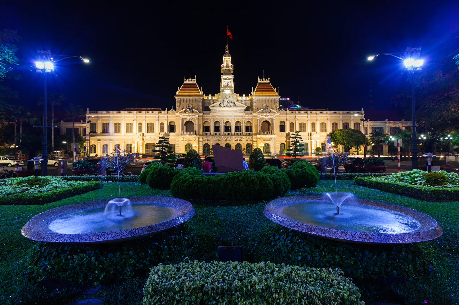 axisDistrict 1 Colonial Core & Market Gridcivic-to-market ruler
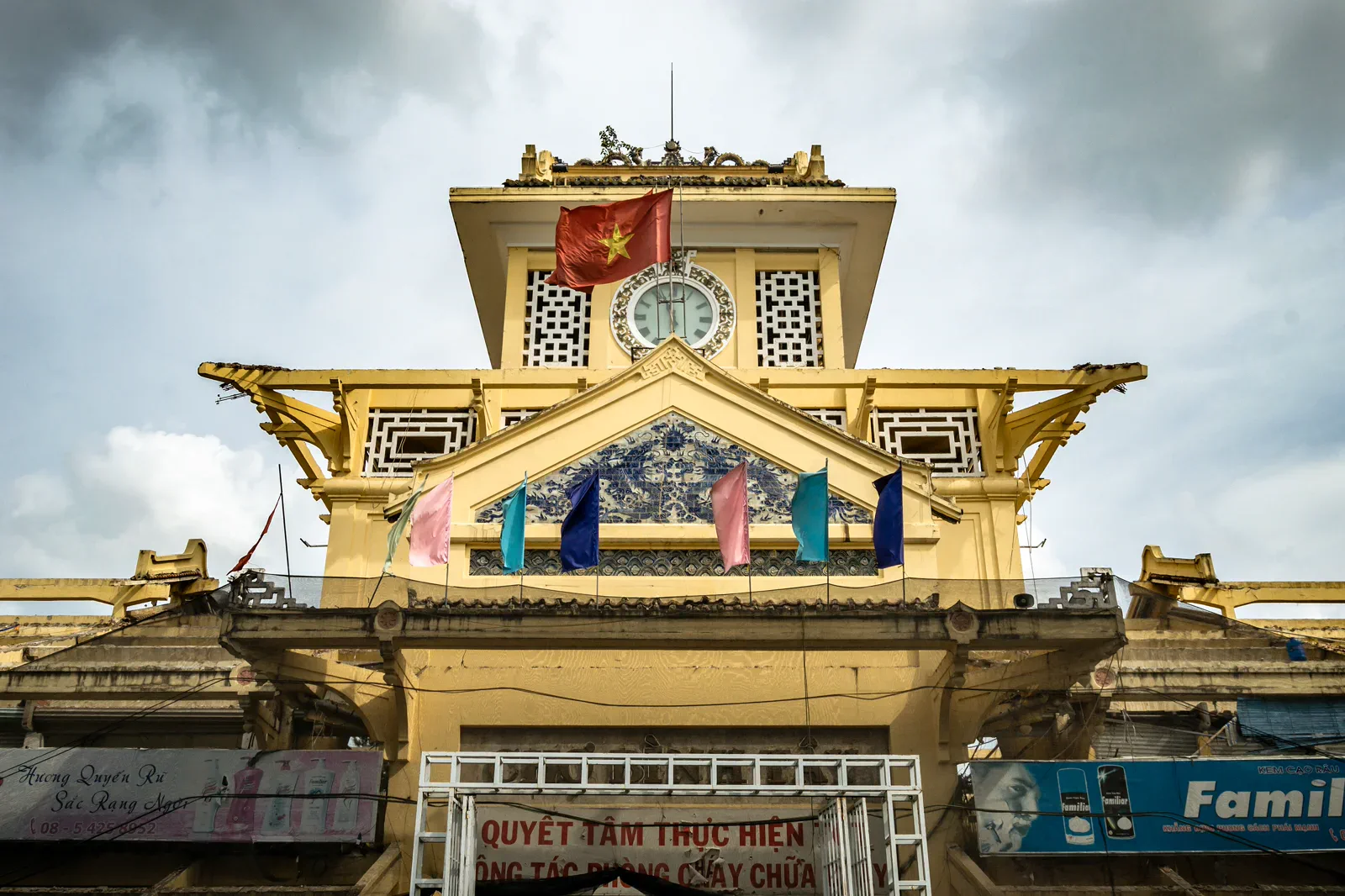 zineCholon, Binh Tay Market & Temple Quarterworking-lane notebook
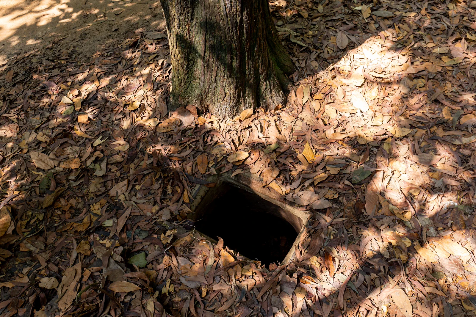 sectionCu Chi Tunnels: Ben Duoc & Ben Dinhwar-memory section
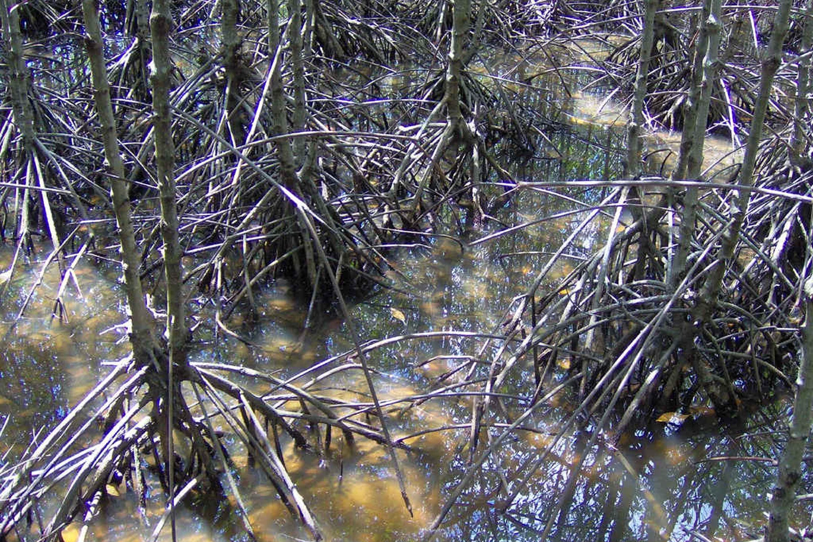 transectCan Gio Mangrove Biosphere Reservecity-to-estuary transect
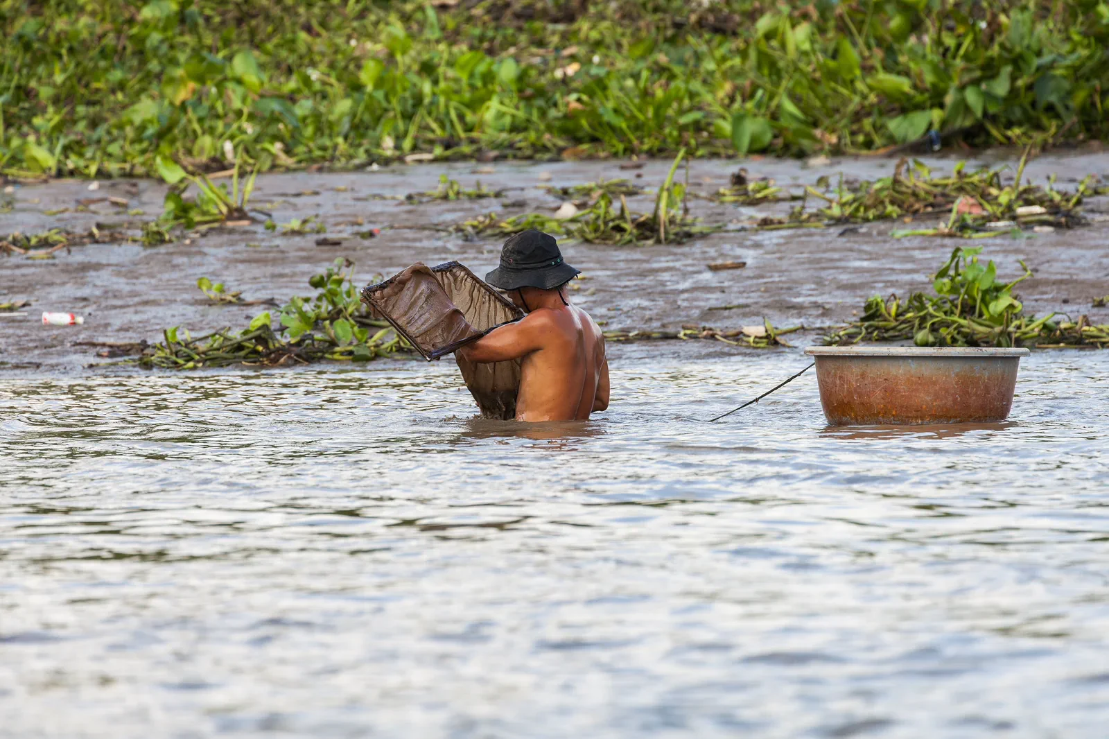 chartSaigon River Waterbus & Thanh Dapublic-waterline chart
Official sources and photo credits
Planning facts and image licenses were reviewed on 31 August 2026. Schedules, access, tickets, weather and operator terms change; verify directly before travel.
- Vietnam Tourism — Ho Chi Minh City.
- Cu Chi Historic Relics & Tunnel Complex.
- UNESCO — Can Gio Mangrove Biosphere Reserve.
- City Hall, Ho Chi Minh City — Diego Delso, CC BY-SA 3.0. Resized, display-cropped and converted to WebP; no other material edits.
- Binh Tay Market — Alexander Synaptic, CC BY-SA 2.0. Resized, display-cropped and converted to WebP; no other material edits.
- Thao Dien Station — ekkun, CC BY-SA 4.0. Resized, display-cropped and converted to WebP; no other material edits.
- Cu Chi tunnel entrance — Balon Greyjoy, CC0. Resized, display-cropped and converted to WebP; no other material edits.
- Can Gio mangrove forest — Tho nau, CC BY-SA 3.0. Resized, display-cropped and converted to WebP; no other material edits.
- Fishermen on the Saigon River — Diego Delso, CC BY-SA 3.0. Resized, display-cropped and converted to WebP; no other material edits.