Ca Mau: U Minh Ha to Cape Ca Mau freshwater-to-mangrove file.
A deliberate far-south expedition from U Minh Ha peat-swamp forest to the mangrove coast and Cape Ca Mau, with fire, water and transport buffers.
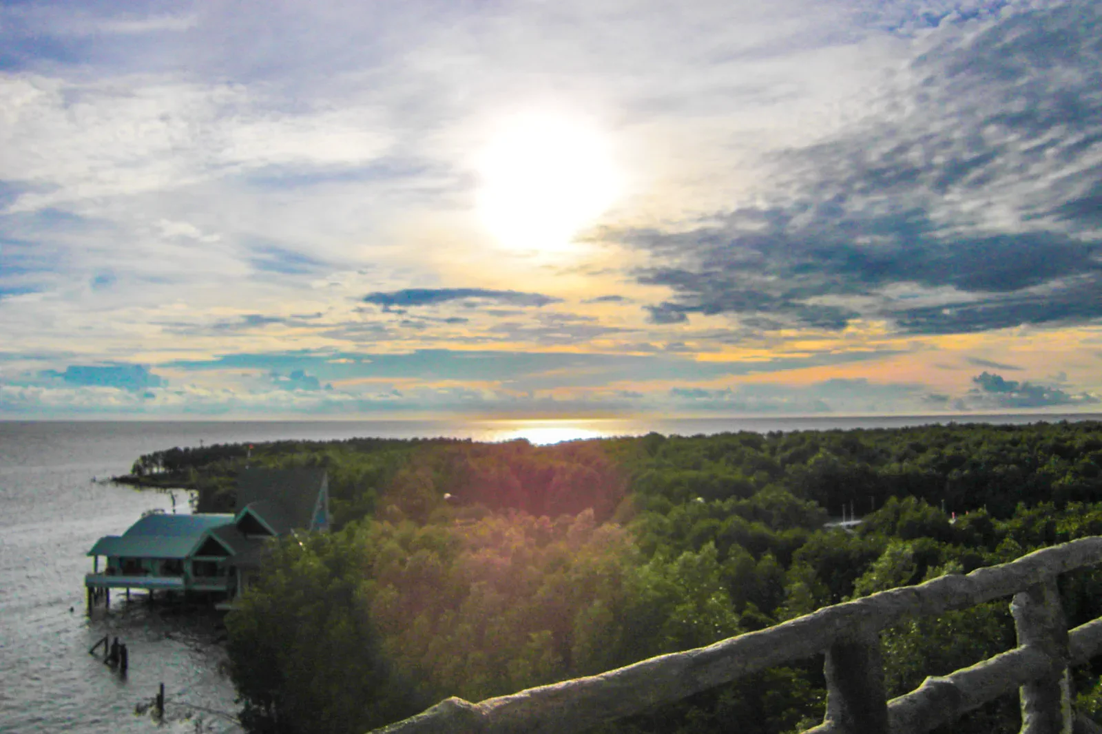
Travel by road or a currently operating flight connection to Cà Mau, then arrange official park access and the onward boat or road leg before departure.
City reset, peat forest, protected waterway, mangrove coast and a safe return make the expedition coherent.
Stay on marked routes, obey park fire rules and never collect peat, plants, shells or wildlife from the protected landscape.
Keep the local logic visible.
Cà Mau makes the freshwater-to-saltwater transition visible. U Minh Hạ’s peat forest, community waterways and the Cape’s mangrove coast require different guides, road legs and conservation rules.
Let sequence do the editing.
City reset, peat forest, protected waterway, mangrove coast and a safe return make the expedition coherent.
Reach
Build an overnight base and confirm park, road and boat arrangements before entering remote areas.
Forest
Follow the U Minh Hạ guide or designated route and read the peat ecosystem without disturbing it.
Coast
Move toward Cape Ca Mau through authorized transport, keeping tide and weather margin.
Return
Leave with fuel, water and daylight buffer; do not let the marker dictate an unsafe late transfer.
Three weak points to solve.
Conditions change faster than an editorial page. Verify the named official source, actual operator and local weather close to travel.
Remote services
Medical, fuel, cash and accommodation options thin out outside Cà Mau city.
Fire and water
Peat forest fire risk, high heat, rain and boat conditions all affect access.
Long-distance fatigue
The southern endpoint is far enough that rushed driving creates its own hazard.
Stay on marked routes, obey park fire rules and never collect peat, plants, shells or wildlife from the protected landscape.
Ca Mau: U Minh Ha to Cape Ca Mau FAQ
How much time should Ca Mau: U Minh Ha to Cape Ca Mau receive?
Reserve at least two days and one flexible buffer for the full U Minh Hạ-to-cape sequence.
Can I combine Ca Mau: U Minh Ha to Cape Ca Mau with another major chapter?
It can continue toward community wetland experiences only after the national-park and coastal legs are secured.
What should I verify before leaving?
Check the current Cà Mau government park notices, access permits, boat or road route, tide, fire risk and forecast.
Choose the next chapter by purpose.
Return to the hub before joining distant branches into one day.
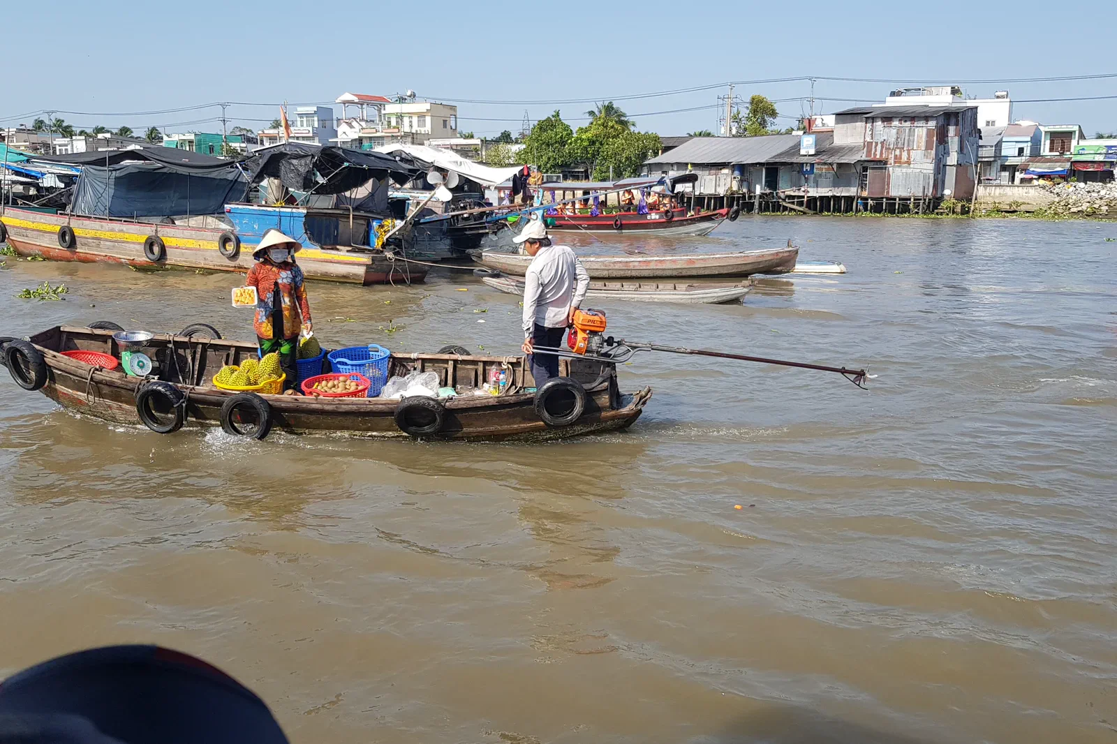 ledgerCan Tho Dawn Market & River Isletsworking-water ledger
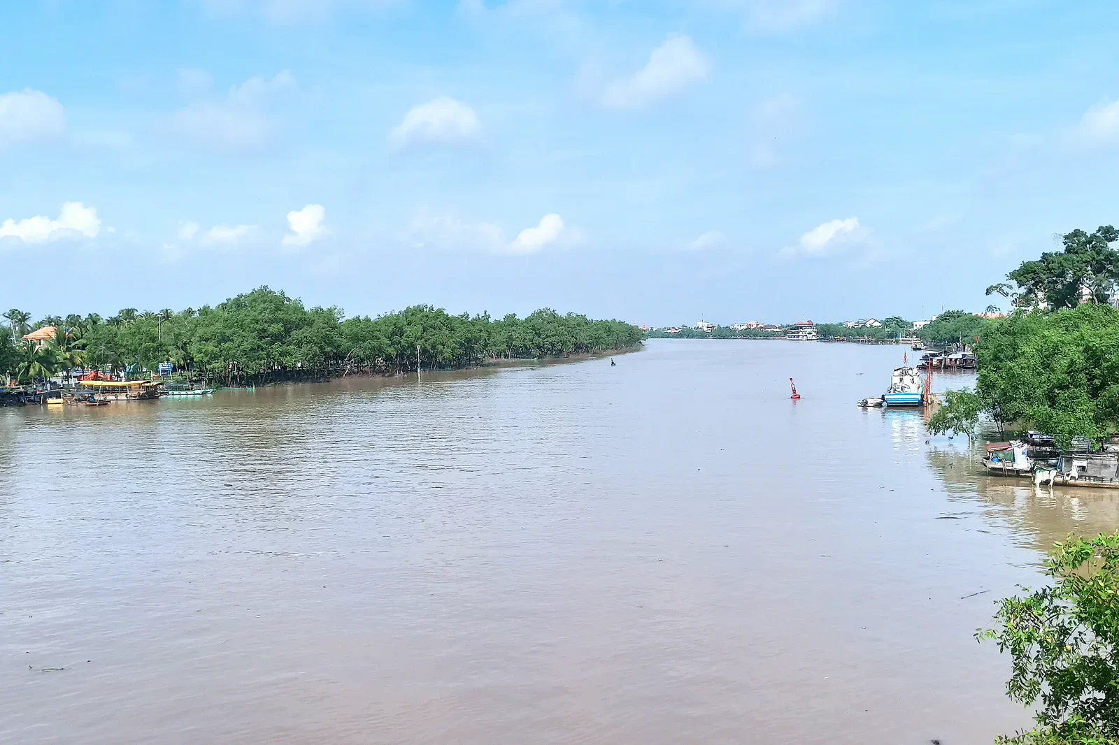 fieldBen Tre Coconut Islets & Canal Lifecoconut-and-canal field
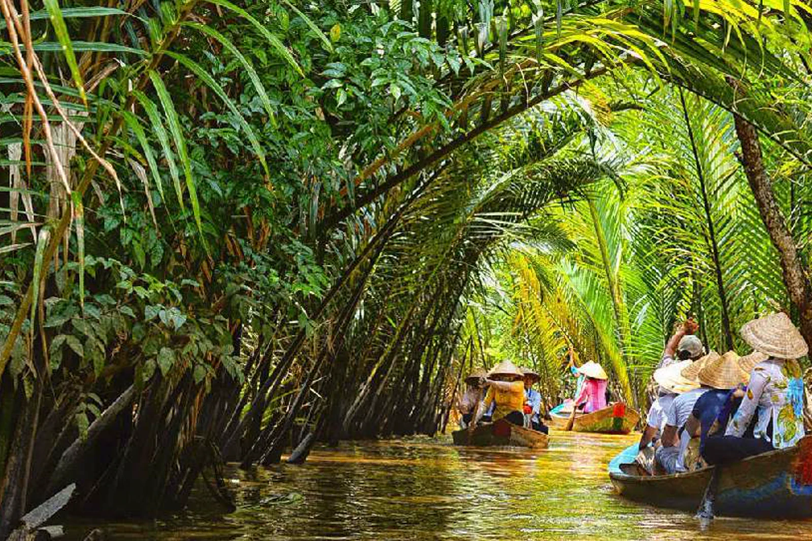 ribbonMy Tho–Thoi Son Isletslower-river entry ribbon
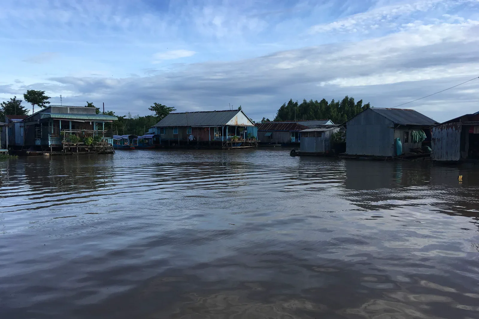 atlasChau Doc Border River, Sam Mountain & Tra Suborder-wetland atlas
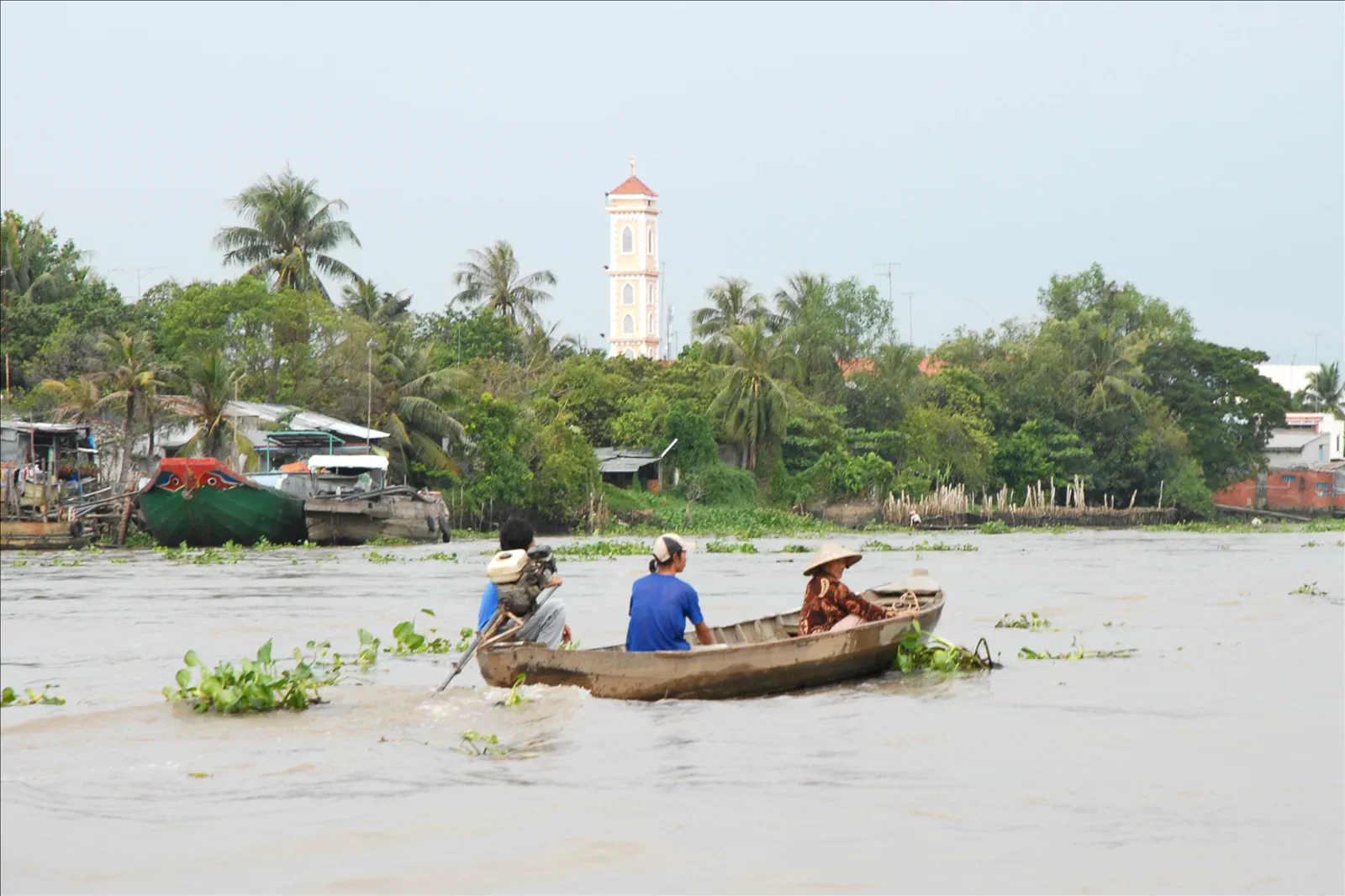 zineSa Dec Flower Village & Huynh Thuy Le Housegarden-and-memory spread
Official sources and photo credits
Planning facts and image licenses were reviewed on 31 August 2026. Schedules, access, tickets, weather and operator terms change; verify directly before travel.
- Vietnam Tourism — 4 Memorable Days in the Mekong Delta.
- Vietnam Tourism — Chau Doc.
- Can Tho Tourism — Cai Rang Floating Market.
- Dong Thap Tourism — Sa Dec.
- Ca Mau Government — U Minh Ha National Park.
- Floating market in Can Tho — Andre Hospers, CC BY 4.0. Resized, display-cropped and converted to WebP; no other material edits.
- Ben Tre River — Magicknight94, CC BY-SA 4.0. Resized, display-cropped and converted to WebP; no other material edits.
- Thoi Son Island — Trainghiemdi, CC BY-SA 4.0. Resized, display-cropped and converted to WebP; no other material edits.
- Chau Doc Floating Village — Christophe95, CC BY-SA 4.0. Resized, display-cropped and converted to WebP; no other material edits.
- Mekong banks at Sa Dec — Jean-Pierre Dalbéra, CC BY 2.0. Resized, display-cropped and converted to WebP; no other material edits.
- Cape Ca Mau — Ctvn wikiviet, Public domain. Resized, display-cropped and converted to WebP; no other material edits.