Tam Coc and Bich Dong rice-season river and cliff pagoda.
A bicycle-and-boat chapter linking Tam Coc’s rice-field river route with the cliff-side Bich Dong Pagoda.
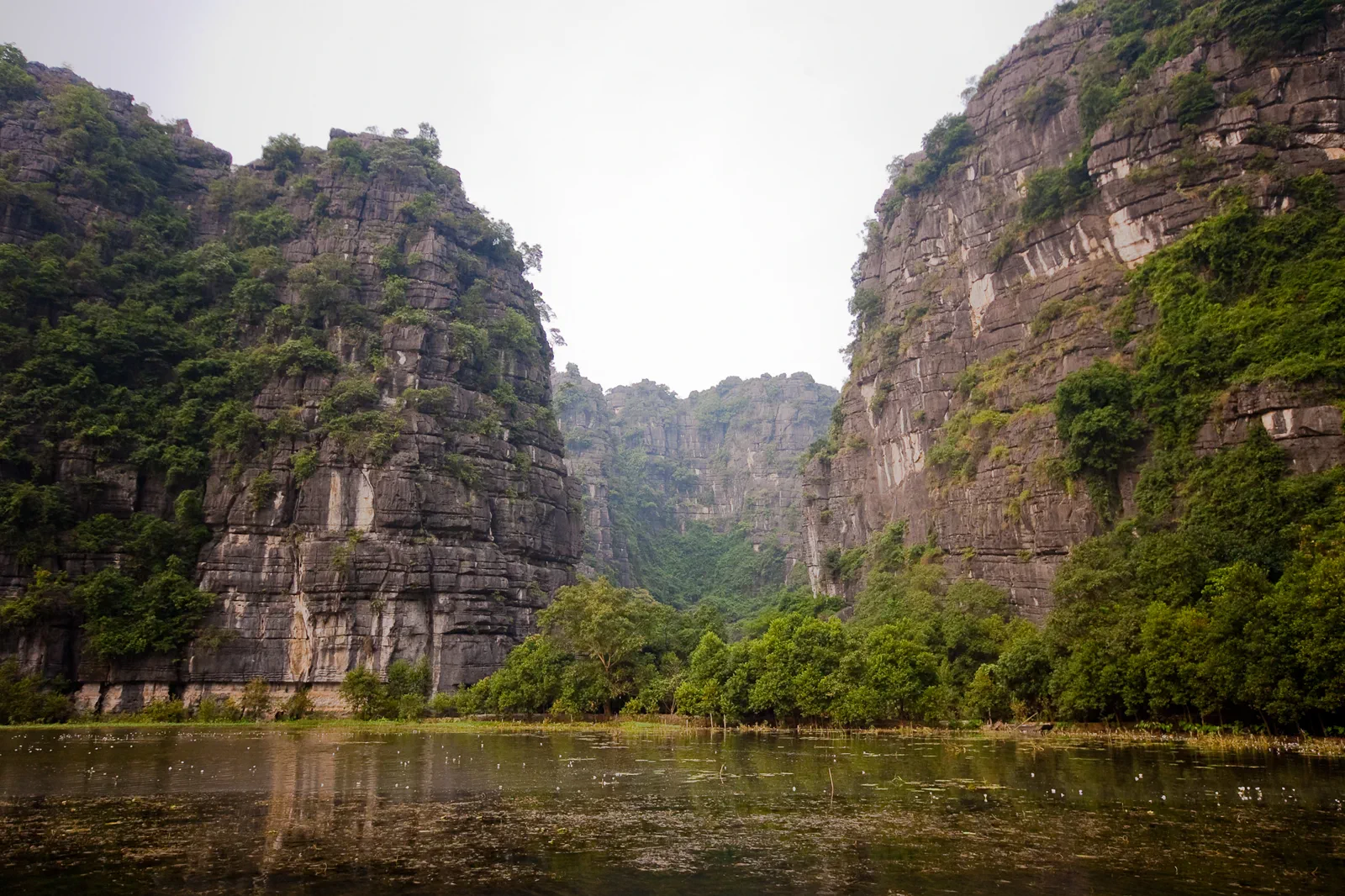
Reach the pier or hotel by bike, taxi or confirmed transfer. Road shoulders and cycling comfort vary, especially around peak arrival times.
Ride or walk before heat builds, take the current Tam Coc boat route, rest away from the pier and visit Bich Dong only with enough time for careful steps.
Do not walk into rice fields, block village lanes or photograph worshippers without consent. Temple access is not a shortcut to a better panorama.
Keep the local logic visible.
Tam Coc is the region’s most legible rural base, but the view changes with water, crop and visitor season. Pair the boat route with a measured ride or transfer to Bich Dong, and avoid presenting harvest colors as a permanent guarantee.
Let sequence do the editing.
Ride or walk before heat builds, take the current Tam Coc boat route, rest away from the pier and visit Bich Dong only with enough time for careful steps.
Read the season
Check the current crop stage and weather so the itinerary describes what travelers may see rather than guaranteeing a color.
Use the pier
Board through the official process, remain seated and let the boat route reveal the caves and limestone from water level.
Move to Bich Dong
Use a safe bicycle or vehicle transfer, then approach the pagoda with appropriate clothing and a slower stair pace.
Return through lanes
Choose one quiet village road, keep clear of farms and return before heat, rain or darkness reduces cycling safety.
Three weak points to solve.
Conditions change faster than an editorial page. Verify the named official source, actual operator and local weather close to travel.
Seasonal water and crop
River level, rain and rice growth alter the experience. Do not promise identical scenery or boat timing.
Cycling traffic
Mixed traffic and narrow shoulders require a helmet, visible riding and a vehicle fallback.
Religious conduct
Wear appropriate clothing, keep quiet and do not touch statues, offerings or cave-temple surfaces.
Do not walk into rice fields, block village lanes or photograph worshippers without consent. Temple access is not a shortcut to a better panorama.
Tam Coc and Bich Dong FAQ
How much time should Tam Coc and Bich Dong receive?
Allow a full day for Tam Coc, Bich Dong and a relaxed rural transfer.
Can I combine Tam Coc and Bich Dong with another major chapter?
Combine with Hang Mua only if the group can handle stairs and heat; keep Trang An as a separate boat experience.
What should I verify before leaving?
Check boat route and queue, crop season, weather, cycling safety, pagoda access and current road conditions.
Choose the next chapter by purpose.
Return to the hub before joining distant branches into one day.
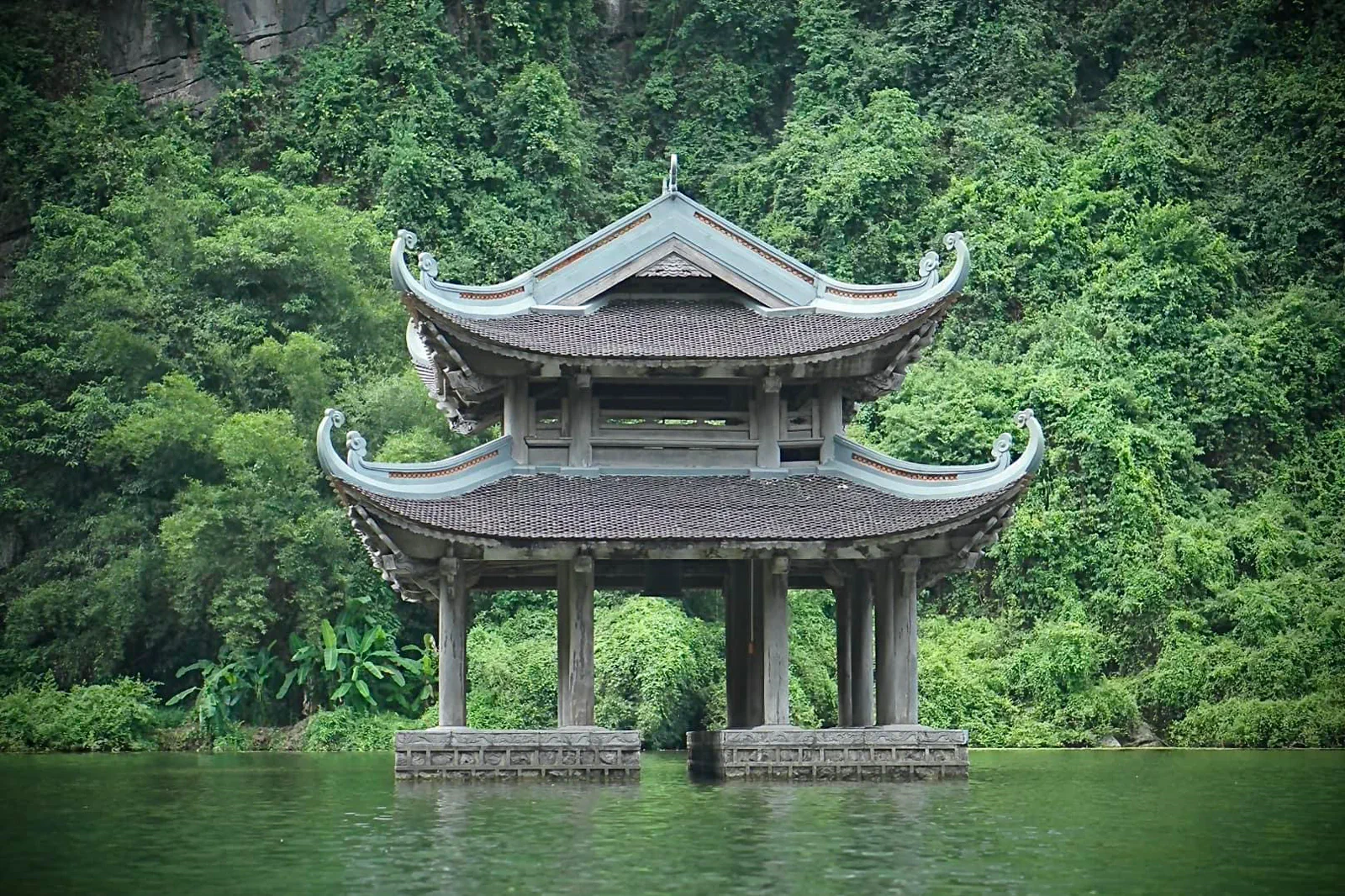 tideTrang An Boat Complexsubmerged karst and managed boat route
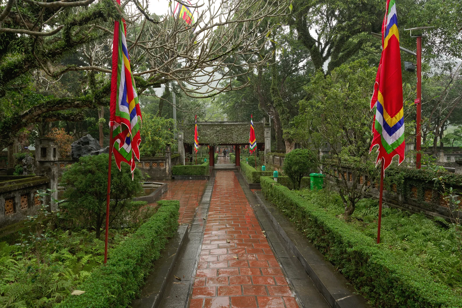 axisHoa Lu Ancient Capitaldynastic valley and temple axis
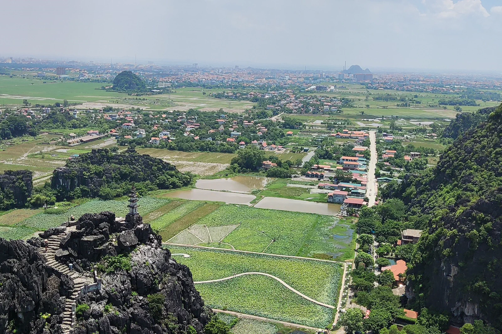 contourHang Mua and Dragon Mountainstairs, ridge and river geometry
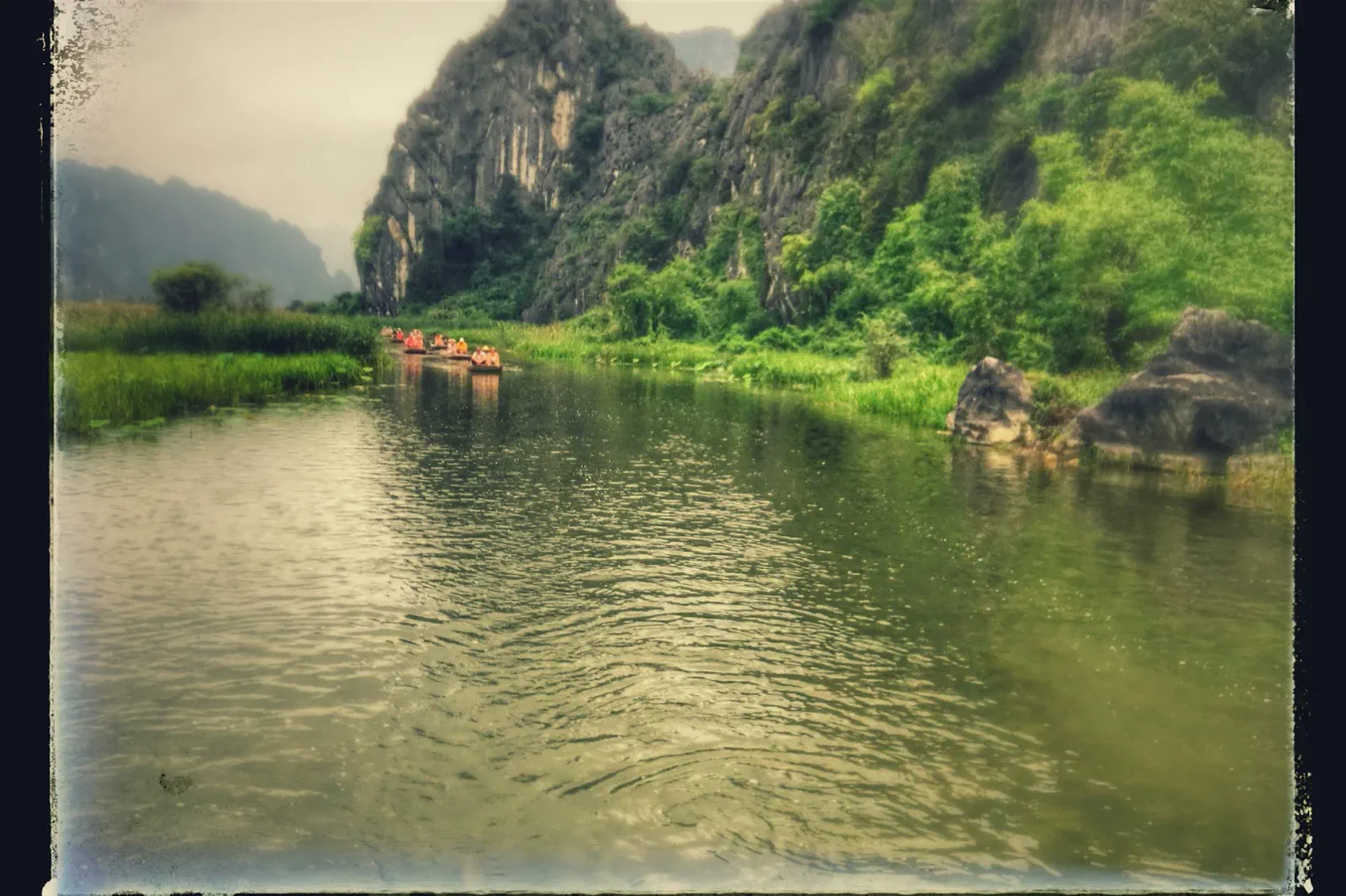 fieldVan Long Wetland Reservequiet water and seasonal wildlife
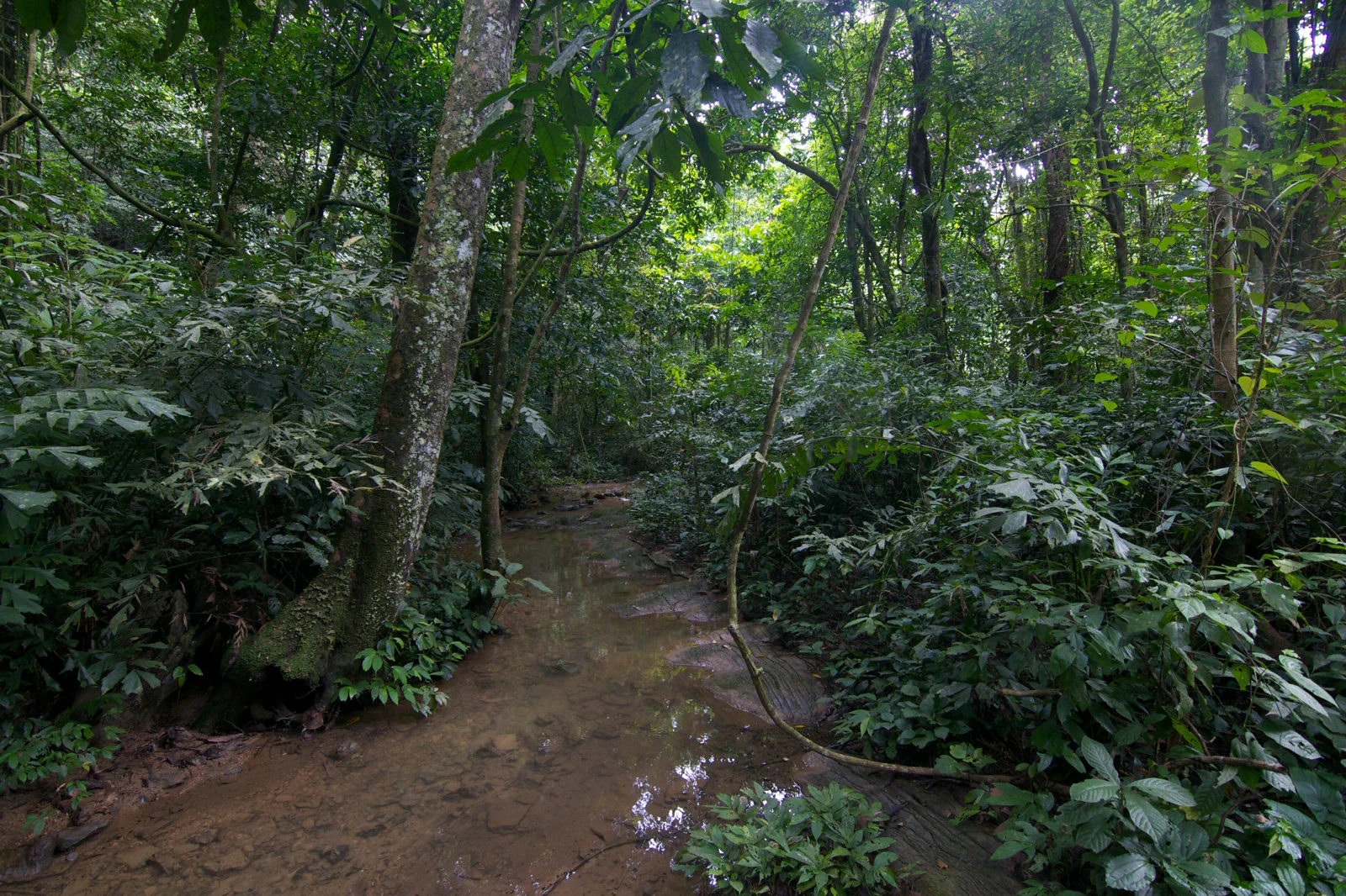 transectCuc Phuong Forest and Conservationold forest and rescue work
Official sources and photo credits
Planning facts and image licenses were reviewed on 31 August 2026. Schedules, access, tickets, weather and operator terms change; verify directly before travel.
- UNESCO — Trang An Landscape Complex.
- Vietnam Tourism — Ninh Binh.
- Vietnam Tourism — Boat Tours in Ninh Binh.
- Ninh Binh Department of Tourism.
- Cuc Phuong National Park — official information.
- Trang An, Ninh Binh.jpg — GieohatchoHaiLy, CC0. Resized, display-cropped and converted to WebP; no other material edits.
- Tam Cốc.jpg — Shansov.net, CC BY-SA 3.0. Resized, display-cropped and converted to WebP; no other material edits.
- Temple of Emperor Le Dai Hanh, Hoa Lư, Ninh Bình, Vietnam, 20240203 1525 5704.jpg — Jakub Hałun, CC BY 4.0. Resized, display-cropped and converted to WebP; no other material edits.
- Hang Mua 5.jpg — Shyamal, CC BY-SA 4.0. Resized, display-cropped and converted to WebP; no other material edits.
- Van Long Nature Reserve.jpg — Bram Coenen, CC BY-SA 4.0. Resized, display-cropped and converted to WebP; no other material edits.
- Forest in Cuc Phuong National Park (15706323528).jpg — hds, CC BY 2.0. Resized, display-cropped and converted to WebP; no other material edits.