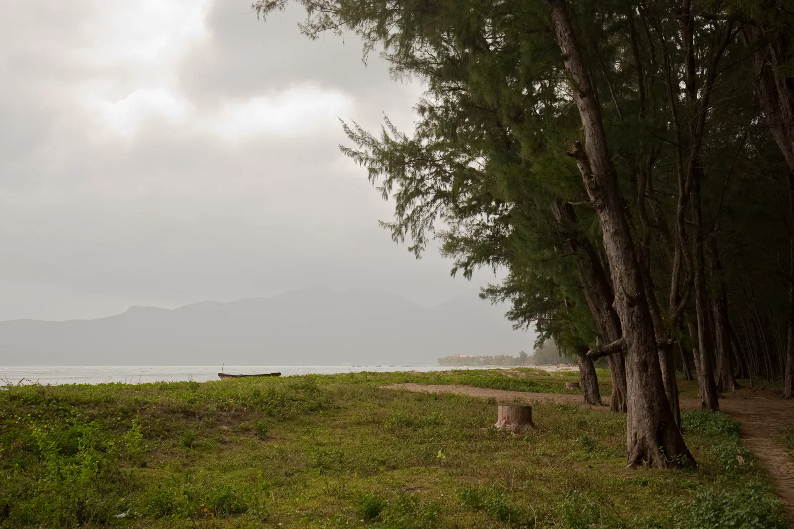
Ganh Dau, Rach Vem & Bai Thom north-island edge.
A north-island road chapter for quieter beaches, Rach Vem, Ganh Dau, Bai Thom and the border-facing geography of Phu Quoc.
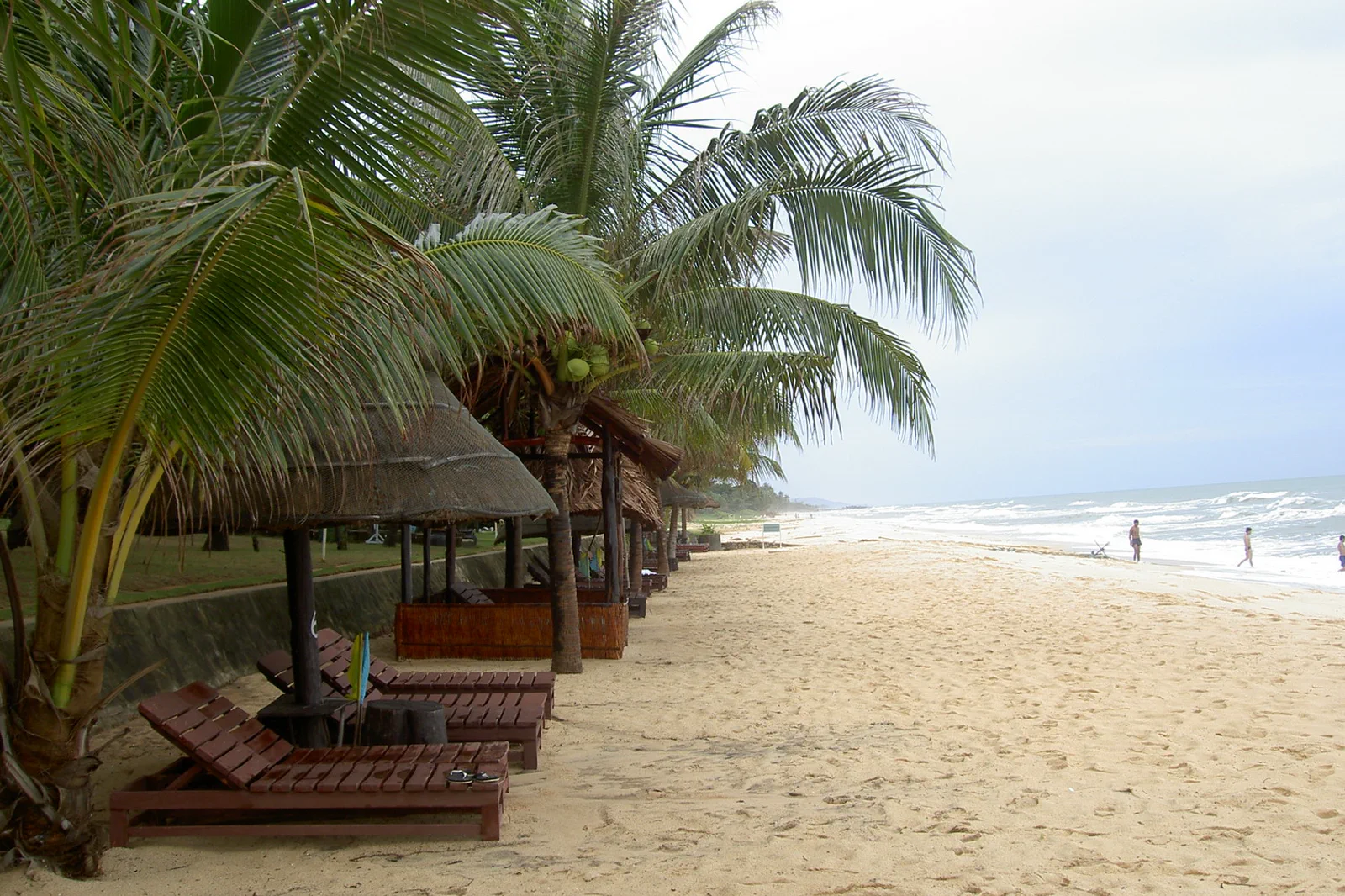
Use a roadworthy motorbike with a helmet or a trusted driver, download offline directions and confirm fuel and food options before leaving the main road.
Northbound road, village or temple, one shore, forest edge and a weather-aware return define the roadbook.
Keep cameras and drones away from military or border installations, and ask residents before photographing homes, boats or religious spaces.
Keep the local logic visible.
Northern Phu Quoc asks visitors to trade resort convenience for dirt roads, forest edges and smaller services. The quiet is not emptiness: fishing communities, temples, protected forest and border sensitivity all shape the route.
Let sequence do the editing.
Northbound road, village or temple, one shore, forest edge and a weather-aware return define the roadbook.
Prepare
Check fuel, helmet, rain layer, offline map and a daytime return before heading north.
Move
Ride slowly on unsealed or narrow roads and yield to residents, livestock and local traffic.
Pause
Choose one public beach, temple or village business and keep the visit low-impact.
Return
Leave the remote coast with light and fuel margin; do not let a quiet sunset create a dark-road ride.
Three weak points to solve.
Conditions change faster than an editorial page. Verify the named official source, actual operator and local weather close to travel.
Road surface
Potholes, sand, rain and construction can make a short map distance slow.
Remote support
Fuel, medical care and reliable phone signal are less predictable in the north.
Restricted views
Border and security areas can carry photography and access restrictions.
Keep cameras and drones away from military or border installations, and ask residents before photographing homes, boats or religious spaces.
Ganh Dau, Rach Vem & Bai Thom FAQ
How much time should Ganh Dau, Rach Vem & Bai Thom receive?
Use a full day from Dương Đông, or stay north when the route is the main purpose.
Can I combine Ganh Dau, Rach Vem & Bai Thom with another major chapter?
Pair with the National Park chapter only if the road and energy budget support it; keep An Thoi on a separate sea day.
What should I verify before leaving?
Check current road status, fuel, park boundaries, public beach access, security restrictions and forecast.
Choose the next chapter by purpose.
Return to the hub before joining distant branches into one day.
 ribbonDuong Dong & Long Beach Sunset Coastwest-shore arrival ribbon
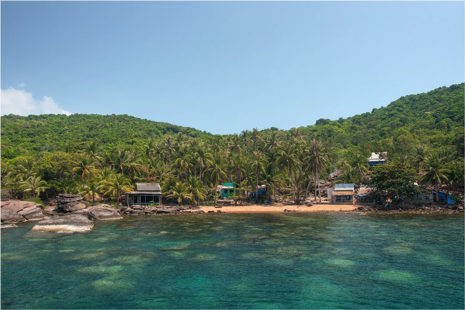 chartAn Thoi Archipelago Marine Parkreef-permit chart
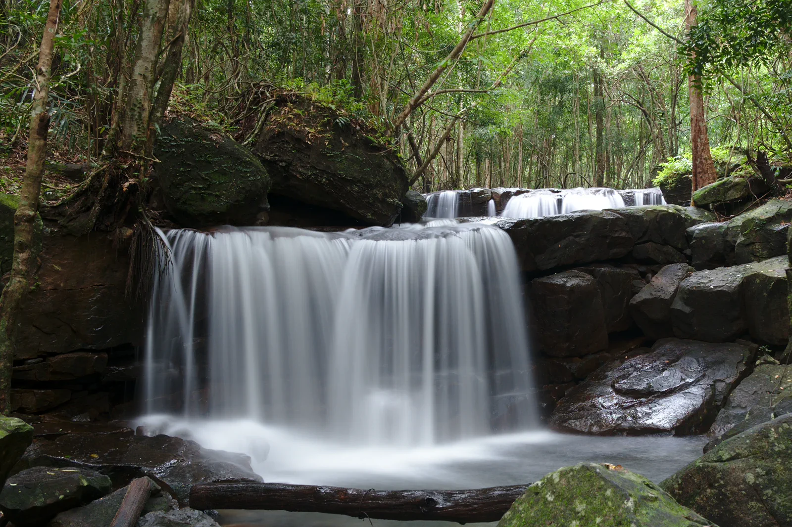 contourPhu Quoc National Park & Suoi Tranhforest-water contour
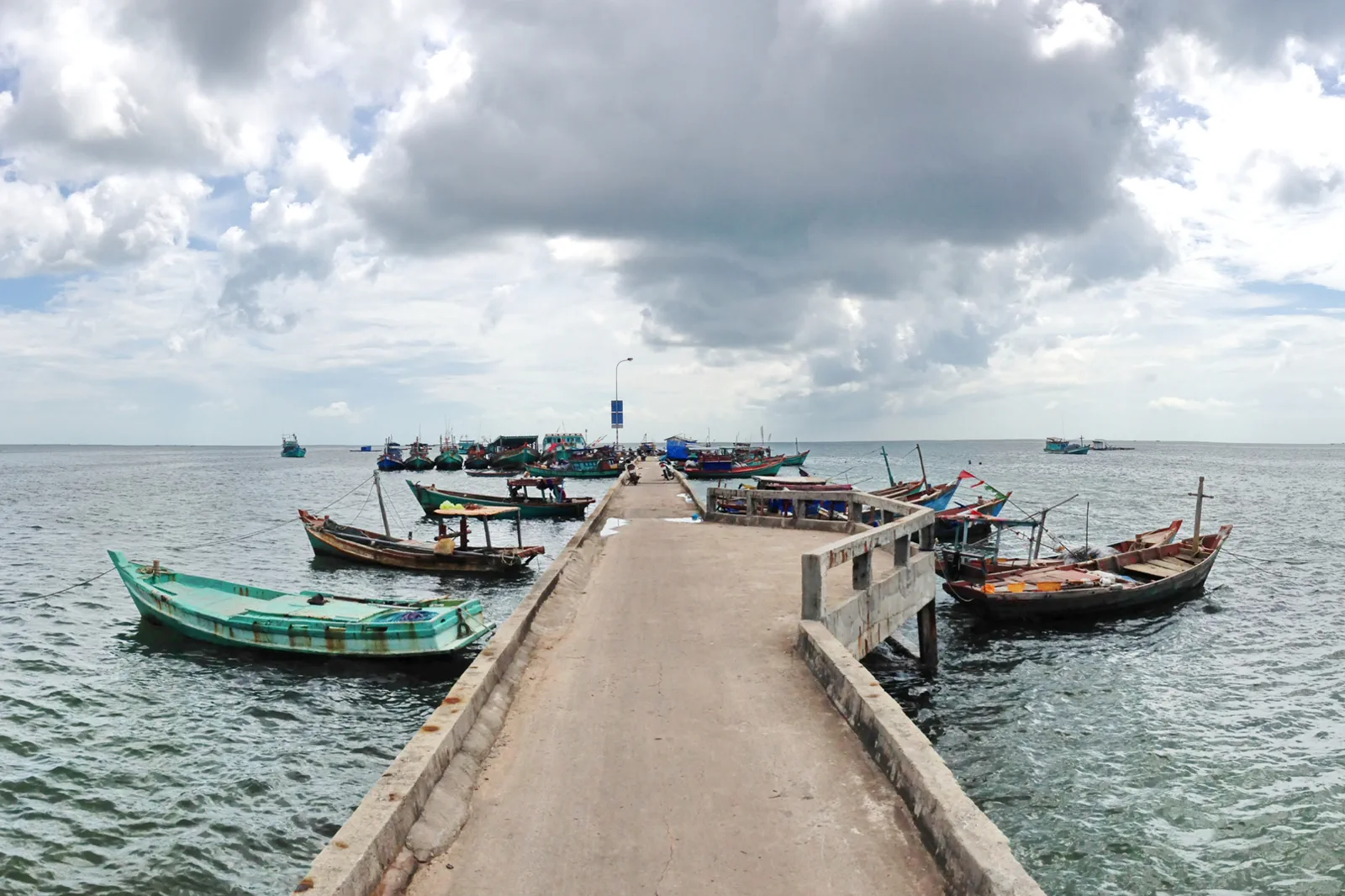 fieldHam Ninh Fishing Village & Island Pantryeast-coast pantry
 expeditionCon Dao National Park & Turtle Islandsprotected-island dossier
Official sources and photo credits
Planning facts and image licenses were reviewed on 31 August 2026. Schedules, access, tickets, weather and operator terms change; verify directly before travel.
- Vietnam Tourism — Phu Quoc.
- Vietnam Tourism — Phu Quoc for Nature Lovers.
- UNESCO — Kien Giang Biosphere Reserve.
- Phu Quoc National Park — Official overview.
- Con Dao National Park — Official visitor information.
- Sunset on Long Beach — Alexey Komarov, CC BY-SA 4.0. Resized, display-cropped and converted to WebP; no other material edits.
- An Thoi Archipelago — Tuderna, CC BY 3.0. Resized, display-cropped and converted to WebP; no other material edits.
- Phu Quoc beach — ntt, CC BY-SA 3.0. Resized, display-cropped and converted to WebP; no other material edits.
- Suoi Tranh — Sketyl none, CC BY 2.0. Resized, display-cropped and converted to WebP; no other material edits.
- Ham Ninh pier — trungydang, CC BY 3.0. Resized, display-cropped and converted to WebP; no other material edits.
- Con Dao National Park — Tycho, CC BY-SA 3.0. Resized, display-cropped and converted to WebP; no other material edits.