Saint-Malo Ramparts & Dinan
Walk Saint-Malo by wall, gate and shoreline condition, then add Dinan only when the bus or train and steep port-to-town gradient leave a comfortable return.
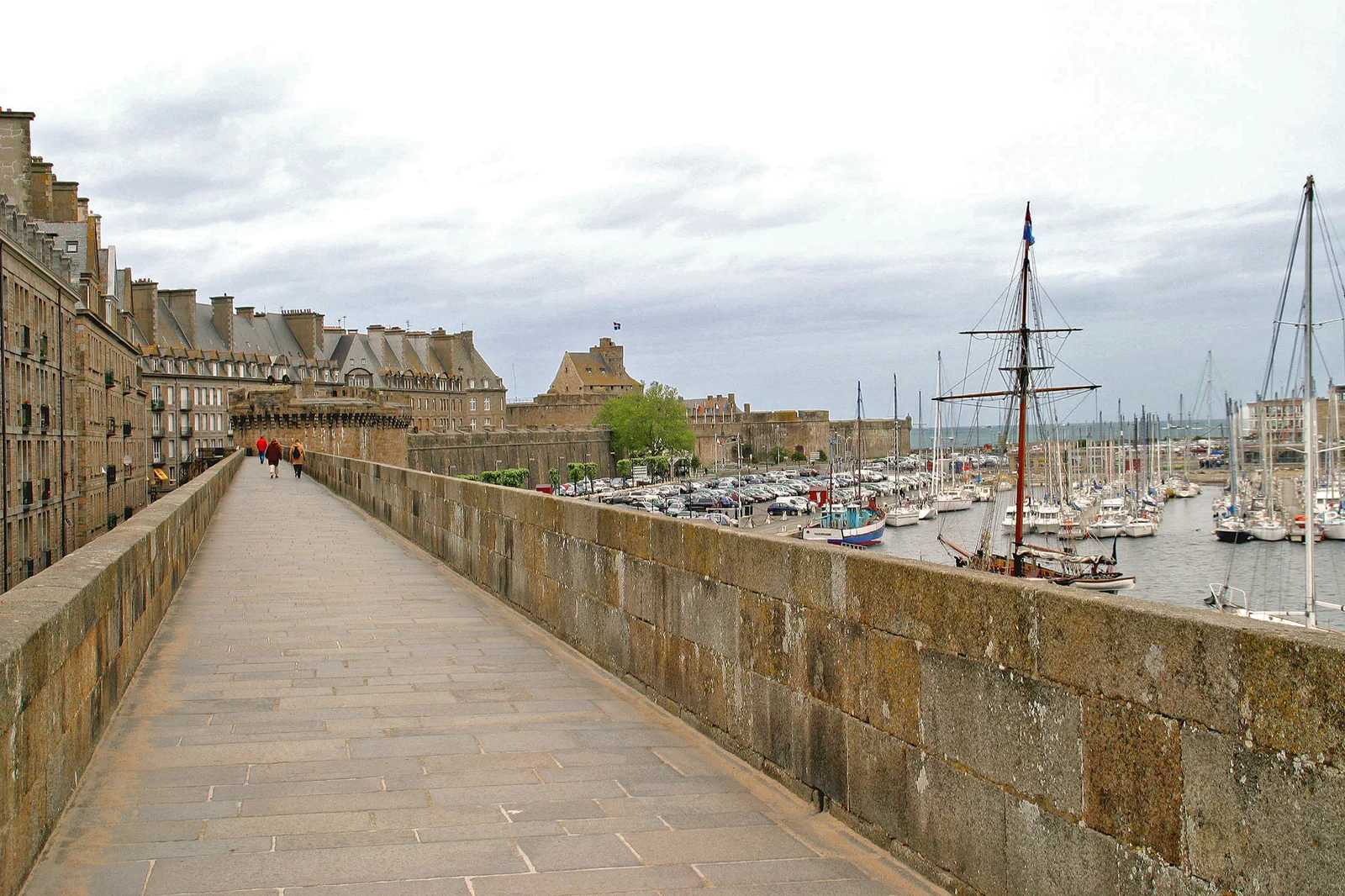
Saint-Malo in depth
Use the complete rampart circuit, intra-muros streets and one shore or museum layer. Tide determines which beaches and offshore approaches are safe.
Dinan hill and port
Make Dinan’s upper town, ramparts and descent toward the Rance the central route. The climb back is part of the schedule.
Two-town comparison
Link a bounded Saint-Malo morning to Dinan by a verified regional connection. This works only when services support a non-fragile evening return.
Know where the day actually begins.
Saint-Malo station is outside intra-muros; walk or use local transit to the walls. Dinan’s rail or bus arrival sits above or apart from the port. Save the exact regional service and stop, especially outside summer.
Choose what the route leaves out.
A two-town day gives up beach time, a boat excursion and most interiors. Staying in Saint-Malo protects tide watching; staying in Dinan protects the port descent and evening streets. Choose the experience, not the number of ramparts.
Fit this route into Brittany: Walled Ports, Megaliths & Atlantic Headlands, not into an isolated checklist.
Brittany is not one coastal loop. Saint-Malo and Dinan form a rail-and-bus pair, Carnac and the Gulf of Morbihan revolve around megaliths and boat or local connections, while Quimper and Crozon require a western-base decision. Tides and wind alter each system differently.
Use at least three nights for two Breton systems and avoid changing base every day. Saint-Malo, Vannes or Quimper each supports a different coast; a car increases reach but does not erase parking, tide or return constraints.
TGV and regional trains reach the main cities, but peninsulas, alignments and headlands often depend on seasonal buses, boats, bicycles or a car. Confirm the final connection before choosing the postcard.
Summer adds boats and buses but also pressure on walled towns and coast roads. Shoulder seasons are quieter but services thin out; Atlantic wind and rain can make exposed paths unsuitable even when the town forecast looks mild.
Use a walled town, museum, market or sheltered estuary when headland weather fails. Keep the fallback in the same base so a cancelled boat or bus does not trigger a long cross-region drive.
Arrive, read the place, commit, then protect the return.
Check Saint-Malo tide and access notices, BreizhGo or rail service, Dinan visitor information and the final return before leaving the first town.
- 01Arrive
Enter Saint-Malo through a named gate
Approach intra-muros, identify the return line to the station and check tide conditions before descending toward any beach or causeway.
- 02Read the place
Complete wall or street loop
Use the ramparts for orientation, then descend once for the cathedral, civic streets and meal. Avoid repeatedly climbing the same stairs.
- 03Commit
Commit to shore or Dinan
Choose a safe tide-aware shoreline block, or take the verified regional service to Dinan and begin in the upper town.
- 04Return
Protect the final climb and connection
In Dinan, descend to the port only with time and ability to return uphill; in Saint-Malo, leave offshore rocks well before the official safe window closes.
Use the live operator, monument and destination sources for this route.
The route explains the decision; these official pages control current admission, transport, weather, access and closures.
Keep the day useful when the headline plan disappears.
In strong wind or rain, use intra-muros streets, the cathedral and museums, or remain in Dinan’s upper town. If the intercity connection fails, deepen the town already reached rather than paying for an improvised coastal loop.
Check Saint-Malo tide and access notices, BreizhGo or rail service, Dinan visitor information and the final return before leaving the first town.
Change the plan before the problem compounds.
Tide can isolate offshore paths
Use posted access windows and turn back early. Never follow other visitors as proof of safety.
Dinan has a real vertical gap
The port and upper town are linked by a steep route. Mobility and return time must shape the choice.
Seasonal service is not a promise
Recheck BreizhGo and rail schedules on the date; a summer timetable copied into autumn can strand the plan.
Other ways to use Brittany: Walled Ports, Megaliths & Atlantic Headlands.

Carnac Megaliths & the Gulf of Morbihan
Visit the Carnac alignments through the current conservation access system and decide whether a Gulf boat, Vannes or a…
Open this guide →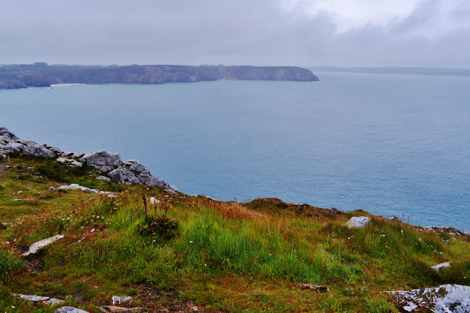
Quimper, Cornouaille & the Crozon Peninsula
Choose a western Brittany base and one exposed peninsula sector, keeping Quimper’s cathedral city as an independent route…
Open this guide →Saint-Malo Ramparts & Dinan FAQ
How much time should I give Saint-Malo Ramparts & Dinan?
Give either town five to seven hours. A combined day needs eight to ten hours and a robust connection; it should omit long museums and boat trips.
What should I combine with Saint-Malo Ramparts & Dinan?
Combine Saint-Malo with Dinan only on a verified service day. Keep Mont-Saint-Michel, Cancale and Cap Fréhel for separate, planned excursions.
What should I verify before leaving?
Check Saint-Malo tide and access notices, BreizhGo or rail service, Dinan visitor information and the final return before leaving the first town.
Official sources and photo credits
Planning facts and image licensing were reviewed on 19 September 2026. Admission, transport, roads, trails, sea, fire, weather and local access can change; reopen the linked authority or operator before travel.
- Saint-Malo Bay tourism — official visitor information.
- Dinan–Cap Fréhel tourism — official local planning.
- Brittany Tourism — official regional guide.
- BreizhGo — official regional transport information.
- Météo-France — official forecasts and coastal warnings.
- 00 20128 Saint-Malo - Frankreich.jpg — W. Bulach, CC BY-SA 4.0. Resized, display-cropped and converted to WebP; no other material edits.
- Neolithic Menhirs near Carnac, Brittany (France). 02.JPG — Karsten Wentink, CC BY-SA 4.0. Resized, display-cropped and converted to WebP; no other material edits.
- Presqu'île de Crozon Pointe de Pen-Hir 02.jpg — Zairon, CC BY-SA 4.0. Resized, display-cropped and converted to WebP; no other material edits.