Opal Coast Headlands & Boulogne
Use Boulogne-sur-Mer, Calais or a smaller coast base according to the chosen headland, then match one exposed walk with one sheltered town or marine visit.
Boulogne city and sea
Pair the old town or port with Nausicaá when open. This is the most weather-resilient public-transport day and does not require a cliff walk.
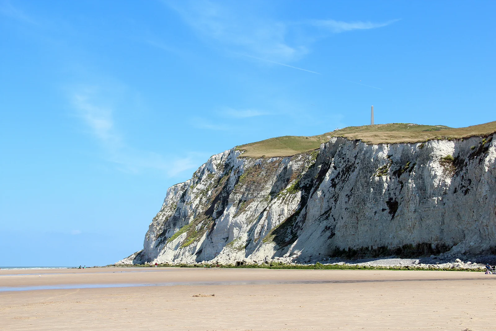
Cap Blanc-Nez
Choose a defined headland approach for Channel views and open grassland. Wind and bus or parking access are the controlling facts.
Two-Caps landscape
Link Cap Gris-Nez and nearby coast only with a verified car, tour, bicycle or seasonal transport plan. The distance and return make this the least spontaneous option.
Know where the day actually begins.
Use the rail station that matches the actual day—Boulogne-Ville for the city, Calais for a planned Blanc-Nez connection, or another verified stop. Coastal buses can be seasonal and sparse; save the stop name and last two return options.
Choose what the route leaves out.
The route gives up covering the entire Grand Site des Deux-Caps. One headland plus one town produces a safer and more readable day than a fast vehicle loop with no time for weather or interpretation.
Fit this route into Lille, Arras & the Opal Coast, not into an isolated checklist.
Lille is a rail gateway to three very different northern trips: Flemish-influenced city streets and collections, First World War remembrance landscapes around Arras, and weather-exposed Channel headlands. Each uses a different last mile and deserves its own day.
Two or three nights in Lille supports the city plus one excursion. Stay in Arras for an early memorial circuit, or near the coast only when the headlands and tide are the trip rather than a rushed rail add-on.
Lille Flandres and Lille Europe are close but distinct terminals. Roubaix is urban transit, Arras is a rail base with dispersed memorial sites, and the Opal Coast often needs a bus, bicycle, tour or car after the train.
Northern weather changes quickly; carry a wind and rain layer even in summer. Museum closures, remembrance-site hours and coastal bus frequencies can shape the day more than temperature alone.
In coastal wind or rain, keep the city or use a named museum rather than forcing exposed cliffs. When a memorial last mile is unavailable, concentrate on Arras and its interpreted underground or civic sites instead of roadside improvisation.
Arrive, read the place, commit, then protect the return.
Check the Grand Site access information, coastal bus or parking status, Météo-France marine conditions, trail notices, Nausicaá admission and the return train.
- 01Arrive
Arrive at the correct coast base
Confirm the station exit, local stop and return before walking into town. Buy food and water before the exposed segment when services near the trail are uncertain.
- 02Read the place
Read wind and visibility
Use the official forecast and on-site signs to decide whether the headland remains the plan. A clear town does not guarantee a comfortable cliff edge.
- 03Commit
Commit to one signed segment
Follow marked paths and setbacks, pausing at interpreted viewpoints. Do not create a cliff-edge shortcut to recover time.
- 04Return
Return through shelter
Use Boulogne’s old town, port or a booked Nausicaá window as the sheltered layer, then take a train with a backup rather than the last service.
Use the live operator, monument and destination sources for this route.
The route explains the decision; these official pages control current admission, transport, weather, access and closures.
Keep the day useful when the headline plan disappears.
In strong wind, poor visibility or path closure, use Boulogne’s city walls and Nausicaá if admission is available, or Calais museums and seafront. The fallback should reduce exposure, not merely move to another cliff.
Check the Grand Site access information, coastal bus or parking status, Météo-France marine conditions, trail notices, Nausicaá admission and the return train.
Change the plan before the problem compounds.
Wind changes the effort
An easy map distance can become tiring or unsafe in headwind. Shorten before the turnaround point becomes a trap.
Edges and tides are not scenery only
Stay on signed paths, respect closures and never descend to an unfamiliar beach without tide and exit knowledge.
Seasonal buses create one-way plans
A morning connection may not imply an evening return. Capture the live timetable and stop location.
Other ways to use Lille, Arras & the Opal Coast.
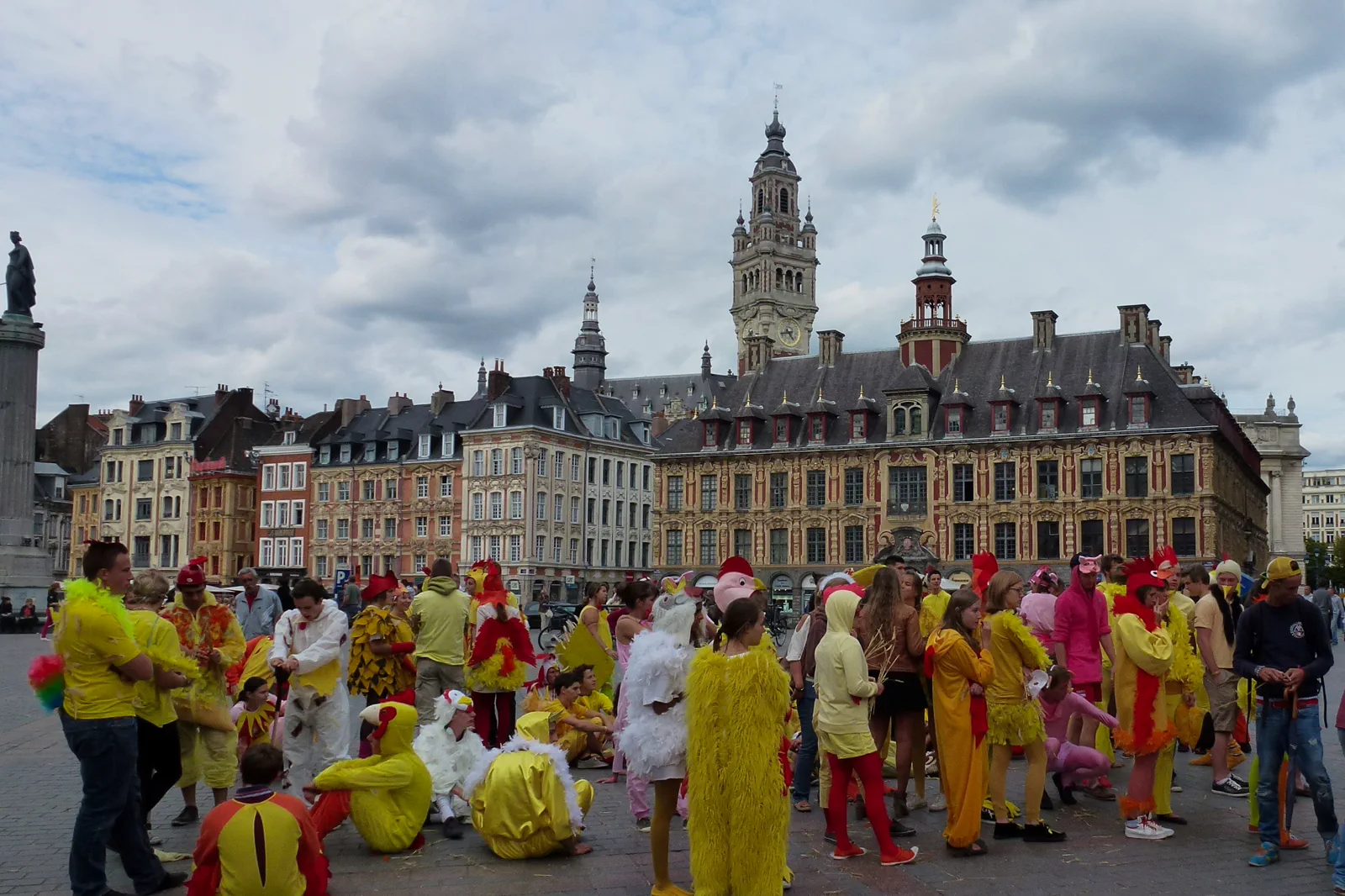
Old Lille, La Piscine & Roubaix
Decide whether Lille’s center or Roubaix’s converted swimming-pool museum carries the day, then connect them without…
Open this guide →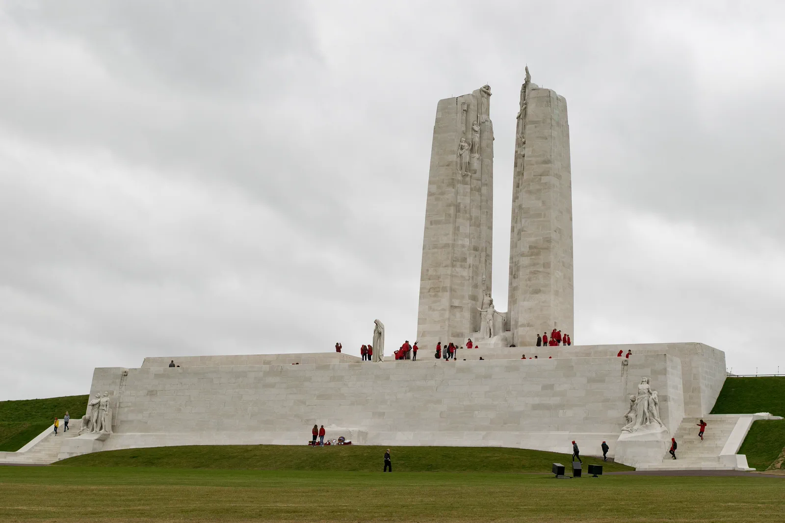
Arras, Vimy & Remembrance Ground
Choose a respectful, interpreted First World War route with a solved last mile, rather than attempting to collect dispersed…
Open this guide →Opal Coast Headlands & Boulogne FAQ
How much time should I give Opal Coast Headlands & Boulogne?
Allow a full day for a headland plus Boulogne or Calais. A Boulogne old-town and Nausicaá day needs six to eight hours; a short signed headland circuit still needs transport margin.
What should I combine with Opal Coast Headlands & Boulogne?
Combine one headland with its nearest practical base. Do not add both capes, Le Touquet and Boulogne unless traveling by car with a deliberately limited route.
What should I verify before leaving?
Check the Grand Site access information, coastal bus or parking status, Météo-France marine conditions, trail notices, Nausicaá admission and the return train.
Official sources and photo credits
Planning facts and image licensing were reviewed on 19 September 2026. Admission, transport, roads, trails, sea, fire, weather and local access can change; reopen the linked authority or operator before travel.
- Grand Site de France Les Deux-Caps — official landscape and access information.
- Nausicaá — official visitor information.
- Lille Tourist Office — official destination information.
- TER Hauts-de-France — official regional rail information.
- Pas-de-Calais tourism — official regional planning.
- Lille grand Place 2012.jpg — PIERRE ANDRE LECLERCQ, CC BY-SA 4.0. Resized, display-cropped and converted to WebP; no other material edits.
- 2017-05 Canadian National Vimy Memorial 01.jpg — 0x010C, CC BY-SA 3.0. Resized, display-cropped and converted to WebP; no other material edits.
- 0 Escalles - Le Cap Blanc-Nez (1).JPG — Jean-Pol GRANDMONT, CC BY 3.0. Resized, display-cropped and converted to WebP; no other material edits.