Lyon & the Rhône Gateway
Use the rivers and hills to stop the city from becoming one long climb.
Lyon’s planning logic comes from the Saône, Rhône and two hills. Vieux Lyon and Fourvière form a vertical historic route; Presqu’île and Croix-Rousse connect commerce to silk-worker history; Beaujolais and Pérouges require separate regional last miles. Choose the hill before the meal reservation so the final descent, not fatigue, decides where the evening ends.
Sleep where the useful departures are.
Three nights allow two city days and one excursion. Base near a useful Métro or tram connection rather than assuming the old town is easiest for every station, hill and dinner.
Solve the complete last mile.
Part-Dieu and Perrache are distinct main stations. Metro, tram and funicular lines solve different axes; regional excursions require an exact station, bus or tour rather than a generic Lyon departure.
Let current conditions edit the map.
Summer heat makes hills and exposed squares harder at midday; winter and rain favor traboules only where publicly signed and museums where open. Festival and major-event periods alter crowds and transit.
Keep a real lower-risk day.
Use the city’s museums, covered food hall or flatter Presqu’île route when heat, funicular disruption or rural weather changes the plan. Keep the substitute on the same transport axis.
Choose the route that answers the day you actually have.
Each file has its own access contract, sequence, fallback, failure points, official sources and licensed image record.
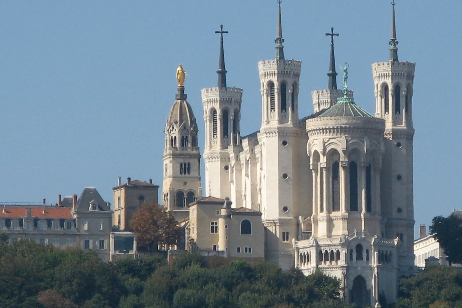
Vieux Lyon & Fourvière
Connect Vieux Lyon’s Renaissance streets to Fourvière through one controlled ascent, using only signed public traboules and protecting the downhill finish.
Open the complete route →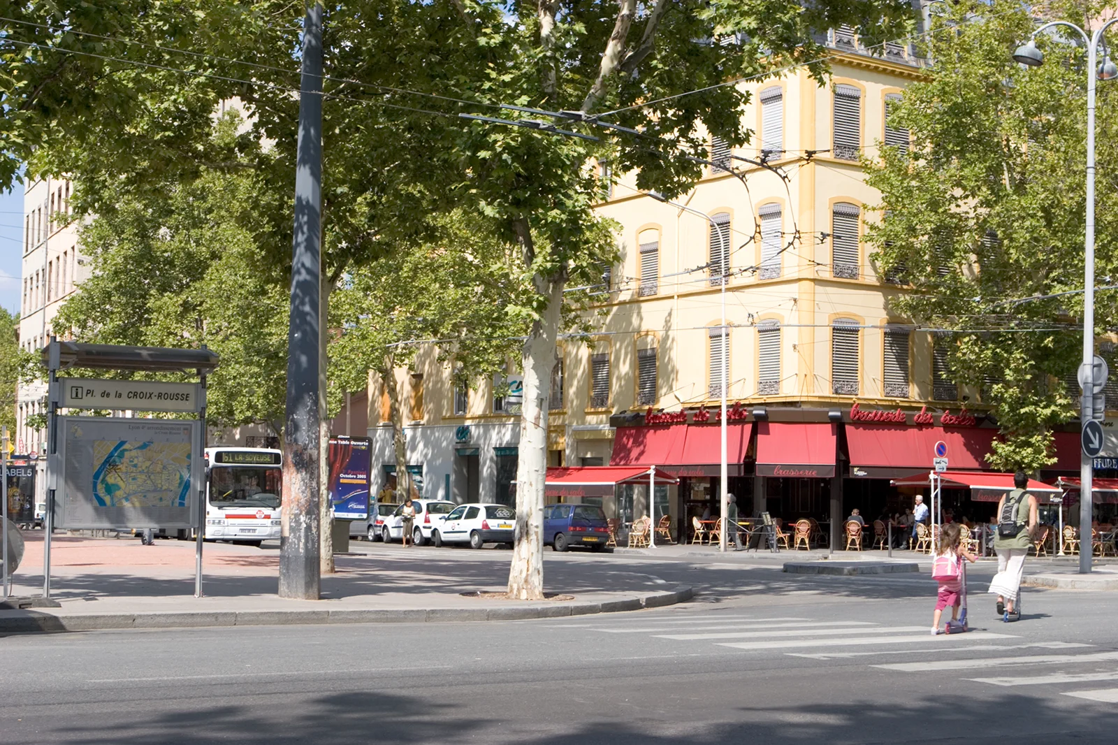
Presqu’île, Croix-Rousse & the Silk City
Move from Presqu’île’s civic and commercial center to Croix-Rousse’s silk-worker hill through one slope, one workshop or museum, and a planned transit descent.
Open the complete route →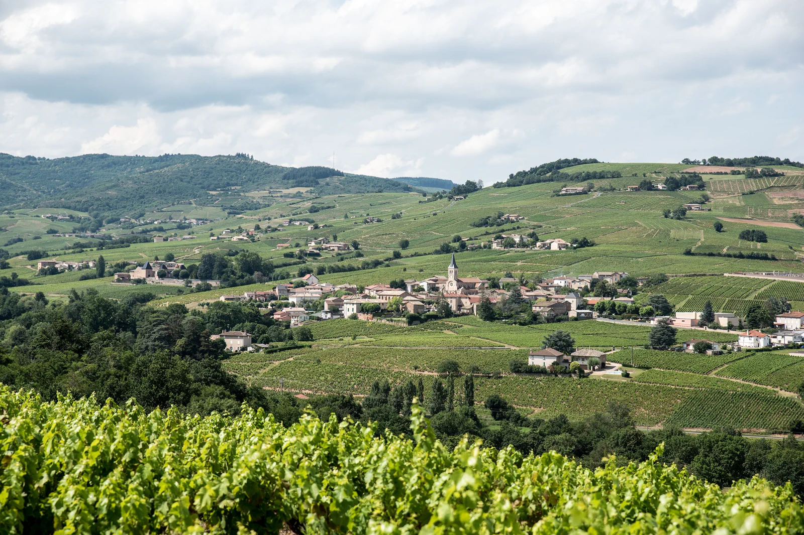
Beaujolais Villages or Pérouges
Choose one Lyon-region excursion—Beaujolais wine villages or the fortified town of Pérouges—and solve its last mile rather than merging them into a generic countryside day.
Open the complete route →Three routes, three different sacrifices.
Vieux Lyon & Fourvière
Access: Vieux Lyon Métro serves the old town and funicular interchange. Check current funicular operation and replacement service before committing; signed public traboules are limited and private passages remain off-limits.
Trade-off: Adding Croix-Rousse creates a second hill and weakens both. The route gives up Presqu’île shopping and distant food stops so Vieux Lyon and Fourvière form one legible vertical story.
Time: Allow five to seven hours for both levels with one museum. A compact old-town and viewpoint route needs three to four hours.
Presqu’île, Croix-Rousse & the Silk City
Access: Metro A and C serve the civic center and Croix-Rousse, while many slopes are steep. Decide whether to ride uphill and walk down, and verify any guided traboule or workshop meeting point before arrival.
Trade-off: A full art museum, long food hall visit and deep Croix-Rousse walk exceed one day. The route keeps one central collection or meal and one hill narrative.
Time: Allow six to eight hours for Presqu’île plus Croix-Rousse and one interior. Either district alone supports four to five hours.
Beaujolais Villages or Pérouges
Access: Beaujolais villages spread north of Lyon and generally need an arranged route. Pérouges is reached through a nearby station or bus stop rather than a train inside the walls; confirm the exact walk, gradient and return.
Trade-off: The route gives up combining Beaujolais and Pérouges. Their roads run in different directions and each needs time for context, meals and a safe return.
Time: Allow a full day for a Beaujolais circuit and five to seven hours for Pérouges including the Lyon return. Do not schedule both.
These regional sources control the moving parts.
Use the guide for structure, then reopen official transport, destination and weather information for the exact travel date.
Lyon & the Rhône Gateway FAQ
How long should I give Lyon & the Rhône Gateway?
Three nights allow two city days and one excursion. Base near a useful Métro or tram connection rather than assuming the old town is easiest for every station, hill and dinner.
What transport decision matters most around Lyon & the Rhône Gateway?
Part-Dieu and Perrache are distinct main stations. Metro, tram and funicular lines solve different axes; regional excursions require an exact station, bus or tour rather than a generic Lyon departure.
What should I do if weather, access or transport changes?
Use the city’s museums, covered food hall or flatter Presqu’île route when heat, funicular disruption or rural weather changes the plan. Keep the substitute on the same transport axis.
Official sources and photo credits
Planning facts and image licensing were reviewed on 19 September 2026. Verify current tickets, services, roads, weather and site access before travel.
- ONLYLYON Tourism — official city guide.
- TCL — official Lyon public transport information.
- TER Auvergne-Rhône-Alpes — official regional rail information.
- Basilique de Fourvière from Saone (Lyon).jpg — MickaëlG, CC BY-SA 3.0. Resized, display-cropped and converted to WebP; no other material edits.
- Lyon croix rousse 01.jpg — Olivier Aumage, CC BY-SA 2.0 fr. Resized, display-cropped and converted to WebP; no other material edits.
- Juliénas.jpg — Sunappu-shashin, CC BY-SA 4.0. Resized, display-cropped and converted to WebP; no other material edits.