Bayeux & the D-Day Landscape
Separate Bayeux’s medieval and museum day from a coast circuit, then build the D-Day route around a defined theme, respectful site conduct and a dependable return.
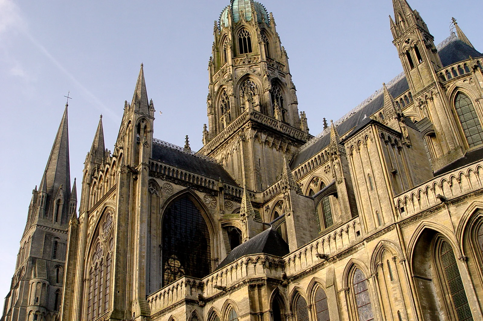
Bayeux city and tapestry
Reserve the Bayeux Tapestry experience and connect the cathedral, old streets and one war-history museum. This is a complete car-free day.
American sector
Use an official or reputable interpreted circuit for Omaha, the American Cemetery and selected related sites. Distances and emotional load make selection essential.
British and Canadian sector
Choose a coherent eastern landing-beach narrative around Gold, Juno or Sword sectors rather than adding them after Omaha. A guide should explain what connects the places.
Know where the day actually begins.
Bayeux station is walkable to the center, but the landing beaches and cemeteries are dispersed. Arrange a guide, tour, taxi, bicycle route or car before arrival and confirm pickup, lunch and return; ordinary local transit is not a complete battlefield solution.
Choose what the route leaves out.
A single day cannot interpret every landing beach and inland battle site responsibly. The route gives up coverage to preserve historical sequence, time at cemeteries and a clear connection back to Bayeux.
Fit this route into Normandy: Rouen, Bayeux & Mont-Saint-Michel, not into an isolated checklist.
Normandy’s best-known places lie on different rail and road systems: Rouen is a compact Seine city, Bayeux is a base for interpreted D-Day landscapes, and Mont-Saint-Michel is a tidal monument with a controlled final approach. They are not one Paris day-trip chain.
Use two to four nights for two Normandy systems. Rouen works as a rail stop; Bayeux rewards an overnight before a guided coast day; Mont-Saint-Michel is calmer when the visit is not tied to an immediate long-distance return.
Regional trains reach Rouen, Bayeux and Pontorson on different corridors. D-Day sites need an arranged last mile, while Mont-Saint-Michel requires the current bus, parking and shuttle sequence rather than driving to the abbey door.
Rain and wind are part of the coast year-round. Summer extends daylight but intensifies road and monument pressure; winter reduces services. Tides change the bay’s appearance but do not justify entering it without an authorized guide.
Keep a city or museum layer ready for coastal weather. Rouen’s center, Bayeux’s museums and the Mont-Saint-Michel village or mainland interpretation can still work when an exposed walk or distant site is removed.
Arrive, read the place, commit, then protect the return.
Check the Bayeux Museum official notices, the chosen memorial authorities, guide pickup, weather and the final train. Reconfirm any 2026 commemoration or construction restrictions.
- 01Arrive
Establish context in Bayeux
Use the town, tapestry or a selected museum to distinguish medieval Bayeux from its 1944 role. If the coast tour begins early, move this block to the previous evening or next morning.
- 02Read the place
Meet the arranged route
Confirm the exact pickup and guide credentials. Carry water and a weather layer; food opportunities can be limited between sites.
- 03Commit
Follow one historical sector
Let chronology and geography determine the stops. Use visitor centers and signed paths, and give cemeteries time without turning memorials into backdrops.
- 04Return
Return for a quiet town finish
End in Bayeux with a meal or short river walk, leaving complex debriefing and souvenir stops outside the train deadline.
Use the live operator, monument and destination sources for this route.
The route explains the decision; these official pages control current admission, transport, weather, access and closures.
Keep the day useful when the headline plan disappears.
If the coast tour is cancelled, stay in Bayeux for the tapestry, cathedral, Battle of Normandy museum and Commonwealth cemetery where open. Do not hire an improvised driver with no interpretive or return plan just to reach a beach sign.
Check the Bayeux Museum official notices, the chosen memorial authorities, guide pickup, weather and the final train. Reconfirm any 2026 commemoration or construction restrictions.
Change the plan before the problem compounds.
Sites are widely dispersed
Map proximity can hide narrow roads and long transfers. Select stops by narrative, not name count.
Commemoration requires restraint
Follow cemetery and memorial rules, avoid staged photos on graves and keep voices and drones within current regulations.
The tapestry is a separate reservation
Current admission systems and renovation projects can change access. Verify before building the Bayeux half-day around it.
Other ways to use Normandy: Rouen, Bayeux & Mont-Saint-Michel.
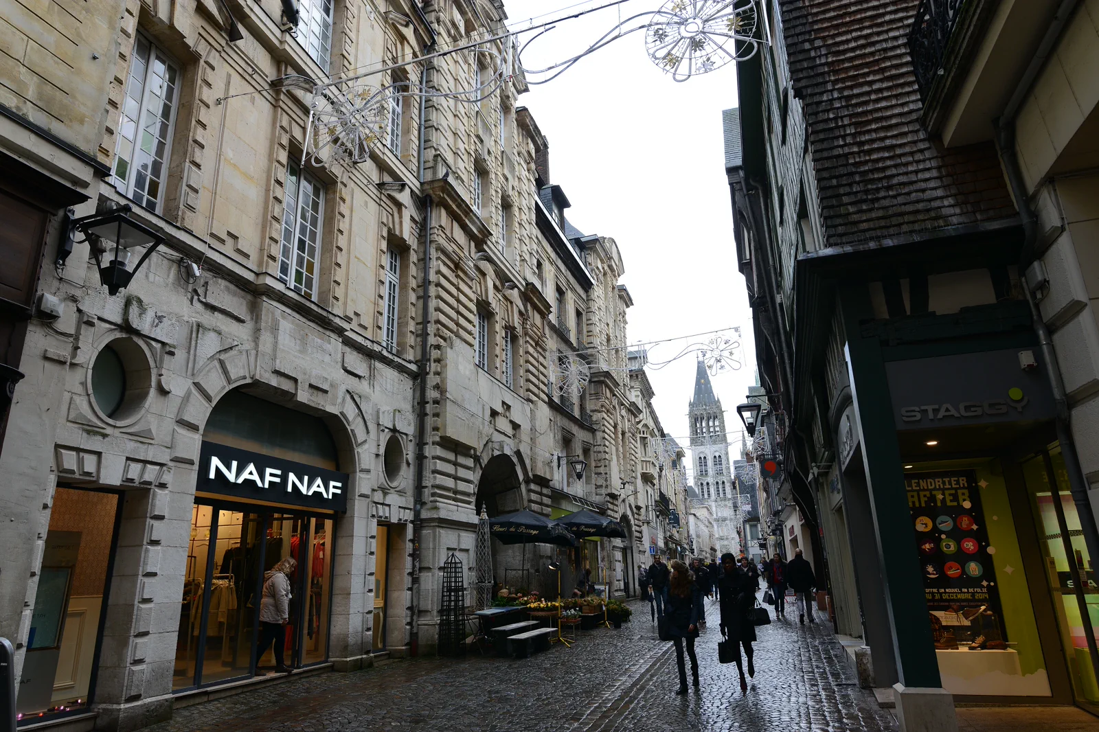
Rouen Cathedral, Old Streets & the Seine
Walk Rouen as a connected cathedral, civic and Seine city while choosing one museum or memorial interior, rather than using…
Open this guide →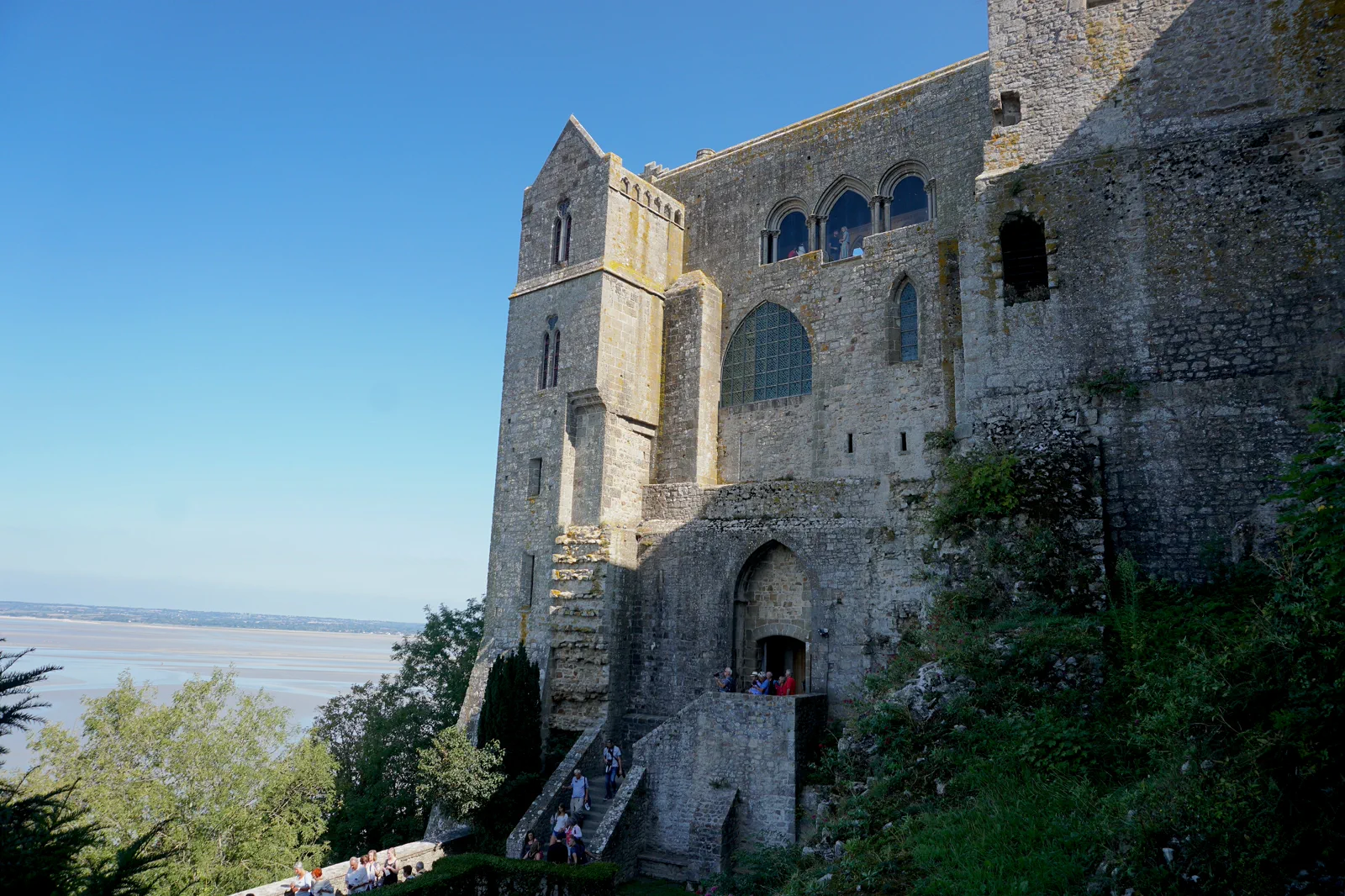
Mont-Saint-Michel & the Bay Approach
Choose the arrival corridor, abbey window and bay viewpoint while respecting the tidal landscape and avoiding an unsafe…
Open this guide →Bayeux & the D-Day Landscape FAQ
How much time should I give Bayeux & the D-Day Landscape?
Give a D-Day sector a full day and Bayeux at least a separate half-day; two nights is the comfortable minimum for both. A combined one-day visit must choose a shorter town block.
What should I combine with Bayeux & the D-Day Landscape?
Combine Bayeux with one guided coast sector. Keep Mont-Saint-Michel, Étretat and Rouen for separate days or travel stages.
What should I verify before leaving?
Check the Bayeux Museum official notices, the chosen memorial authorities, guide pickup, weather and the final train. Reconfirm any 2026 commemoration or construction restrictions.
Official sources and photo credits
Planning facts and image licensing were reviewed on 19 September 2026. Admission, transport, roads, trails, sea, fire, weather and local access can change; reopen the linked authority or operator before travel.
- Bayeux Museum — official tapestry visitor information.
- Normandy Tourism — official D-Day planning overview.
- Normandy Tourism — official regional guide.
- TER Normandie — official regional rail information.
- Météo-France — official forecasts and warnings.
- Rouen Old Town (30784770452).jpg — Jorge Láscar from Melbourne, Australia, CC BY 2.0. Resized, display-cropped and converted to WebP; no other material edits.
- Bayeux cathedral (498230954).jpg — Paul Holloway from Birmingham, United Kingdom, CC BY-SA 2.0. Resized, display-cropped and converted to WebP; no other material edits.
- A view of the Abbey of Mont-Saint-Michel with the bay.jpg — Hammondtravels, CC BY-SA 4.0. Resized, display-cropped and converted to WebP; no other material edits.