Sardinia
Choose one island quadrant, then make every ferry, road and protected shore explicit.
Sardinia is an island large enough to require regional bases, not a beach added to an Italian city trip. Cagliari and the south, La Maddalena and Gallura, and the Gulf of Orosei with the central mountains use different airports, ports, roads and permits. Choose one island quadrant before building a coastline checklist.
Base, transfer, season and fallback must work together.
Sleep beside the useful departure.
Three nights supports Cagliari plus Barumini; three or four nights supports Gallura and La Maddalena; four or more nights gives the Orosei coast and one inland mountain decision enough weather margin. A complete north-to-south trip generally needs ten days or more and deliberate transfer days.
Name the whole last mile.
ARST buses and regional trains serve useful towns but not every beach or trailhead. Palau controls the scheduled La Maddalena ferry, while Cala Gonone, Orosei, Baunei and inland mountain towns are separate gateways. Rental cars add reach but do not remove protected-area permits, parking controls or rough-road limits.
Let current conditions edit the route.
Mistral and local winds can change ferries, small-boat outings and beach comfort. Summer heat, fire risk, parking controls and visitor caps constrain the coasts; mountain weather and short winter light affect Gennargentu. Some island and beach services are strongly seasonal.
Keep one complete lower-risk day.
Keep a land-based fallback in the same quadrant: Cagliari museums for Barumini, Palau or Caprera for an archipelago sailing, and Orosei, Cala Gonone or an inland visitor town for a coast or mountain closure. Do not cross the island to rescue a single cancelled day.
Choose the gateway, threshold and return you actually have.
Each route uses a different planning instrument, exact official sources and a complete alternative when the main gate closes.
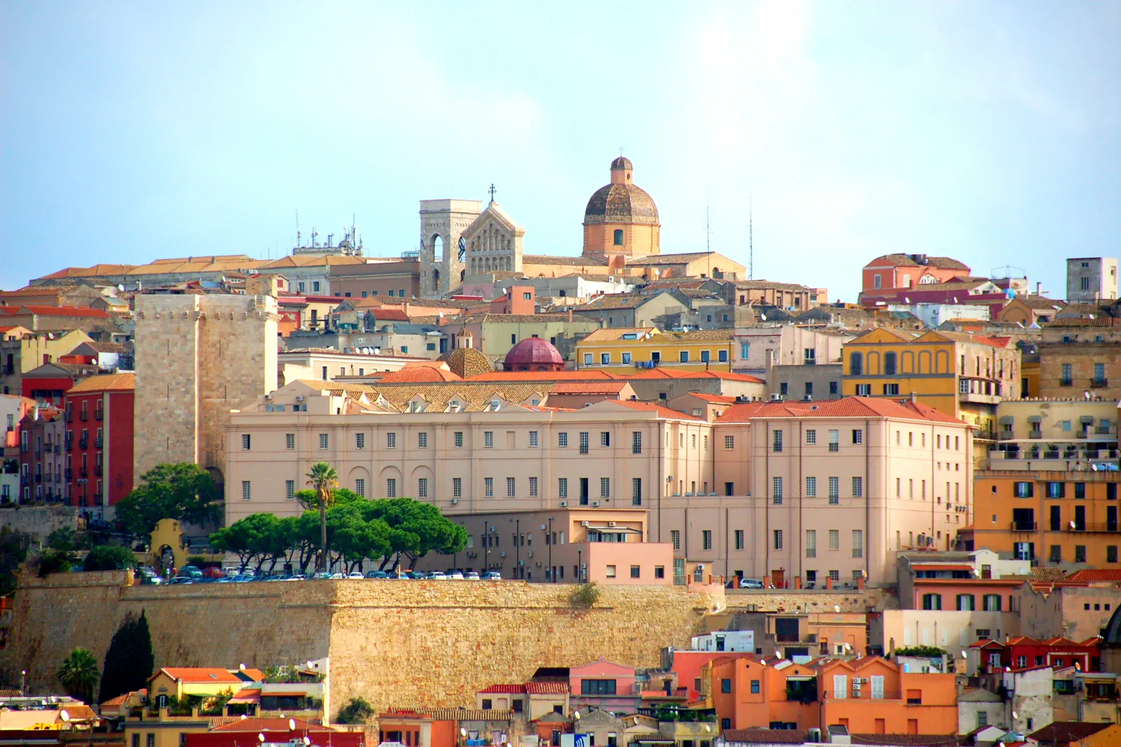
Cagliari & Su Nuraxi
Decide between Cagliari’s layered city, its lagoon-and-beach edge and a guided Su Nuraxi excursion, then make the Barumini connection and mandatory site visit explicit.
Open the complete route →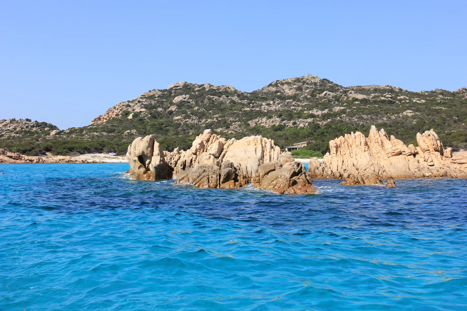
La Maddalena & Gallura
Choose a scheduled island landing, a Caprera land day or an authorised archipelago boat itinerary while separating public ferry transport from protected-area excursions.
Open the complete route →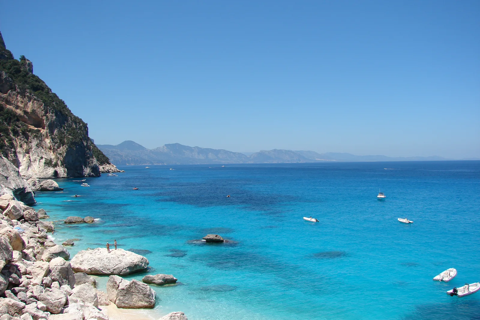
Gulf of Orosei & Gennargentu
Choose a Gulf boat day, the regulated Cala Goloritzé hike or a Gennargentu mountain route and make the correct gateway, permit, water and turnaround non-negotiable.
Open the complete route →Every route gains something by leaving something else out.
Cagliari & Su Nuraxi
Gateway: Cagliari station and lower Marina district sit beneath Castello, reached by uphill streets, buses or lifts. Poetto and lagoon stops use the urban network. Barumini is inland: verify ARST or the current Barumini Link, its exact Cagliari departure and the return; Su Nuraxi admission includes a required guided visit.
Sacrifice: Cagliari’s museum, upper town and coast can fill two days. Choosing Barumini gives irreplaceable archaeological context but removes a long city or beach block; it should not be presented as a quick detour.
Time: Allow six to eight hours for Cagliari depth or the Barumini excursion. A city-plus-coast day is possible with a selective museum visit; Barumini should remain the day’s main commitment.
La Maddalena & Gallura
Gateway: Scheduled vehicle and passenger ferries leave Palau for La Maddalena; they are not the same product as sightseeing boats. Palau itself requires a confirmed Gallura road or bus approach. Caprera is linked by bridge from La Maddalena, while other islands need authorised marine access and current park rules.
Sacrifice: A scheduled landing offers town context and control; a boat excursion offers breadth but less certainty and no promise of every beach. Caprera rewards a full land day. Combining all three produces rushed boardings and weak protected-area practice.
Time: Allow a full day from Palau for La Maddalena, Caprera or an archipelago excursion. An overnight on La Maddalena creates a much safer buffer for wind and island depth.
Gulf of Orosei & Gennargentu
Gateway: Orosei, Cala Gonone, Baunei plateau trailheads and Gennargentu gateways are separated by mountain roads. A boat ticket does not grant a beach landing where marine rules prohibit it, and a Cala Goloritzé booking does not provide transport to the trailhead. Mobile coverage and public transport can be limited.
Sacrifice: The sea route shows more coastline, the hike gives one cove an earned land sequence, and Gennargentu replaces water with mountain depth. Each uses the full safety and attention budget; combining them on one day is not credible.
Time: Allow a full day for a boat, regulated cove hike or mountain route, plus at least two nights in the appropriate gateway. A weather reserve day materially improves an Orosei or Gennargentu stay.
These sources control the moving parts.
Use this guide for structure, then reopen the official destination, transport, park or venue information for the exact date.
Sardinia FAQ
How long should I give Sardinia?
Three nights supports Cagliari plus Barumini; three or four nights supports Gallura and La Maddalena; four or more nights gives the Orosei coast and one inland mountain decision enough weather margin. A complete north-to-south trip generally needs ten days or more and deliberate transfer days.
What transport decision matters most around Sardinia?
ARST buses and regional trains serve useful towns but not every beach or trailhead. Palau controls the scheduled La Maddalena ferry, while Cala Gonone, Orosei, Baunei and inland mountain towns are separate gateways. Rental cars add reach but do not remove protected-area permits, parking controls or rough-road limits.
What should I do if weather, access or transport changes?
Keep a land-based fallback in the same quadrant: Cagliari museums for Barumini, Palau or Caprera for an archipelago sailing, and Orosei, Cala Gonone or an inland visitor town for a coast or mountain closure. Do not cross the island to rescue a single cancelled day.
Official sources and photo credits
Planning facts and image licensing were reviewed on 26 September 2026. Verify current tickets, rail, roads, ZTLs, paths, ferries and site access before travel.
- SardegnaTurismo — official Regione Sardegna destination portal.
- ARST — official Sardinian regional transport information.
- Sardegna Cultura — official regional heritage portal.
- Castello (Cagliari).jpg — Municipality of Cagliari, CC BY-SA 3.0 it. Resized, display-cropped and converted to WebP; no other material edits.
- La Maddalena - Isola di Budelli (01).JPG — Gianni Careddu, CC BY-SA 3.0. Resized, display-cropped and converted to WebP; no other material edits.
- Cala Goloritze o.jpg — delaere, CC BY 2.0. Resized, display-cropped and converted to WebP; no other material edits.