Gulf of Orosei & Gennargentu
Base at Orosei, Cala Gonone, Baunei or an inland mountain town according to the chosen objective, confirm authority and weather, complete one coast or mountain line, and return before sea or road conditions deteriorate.
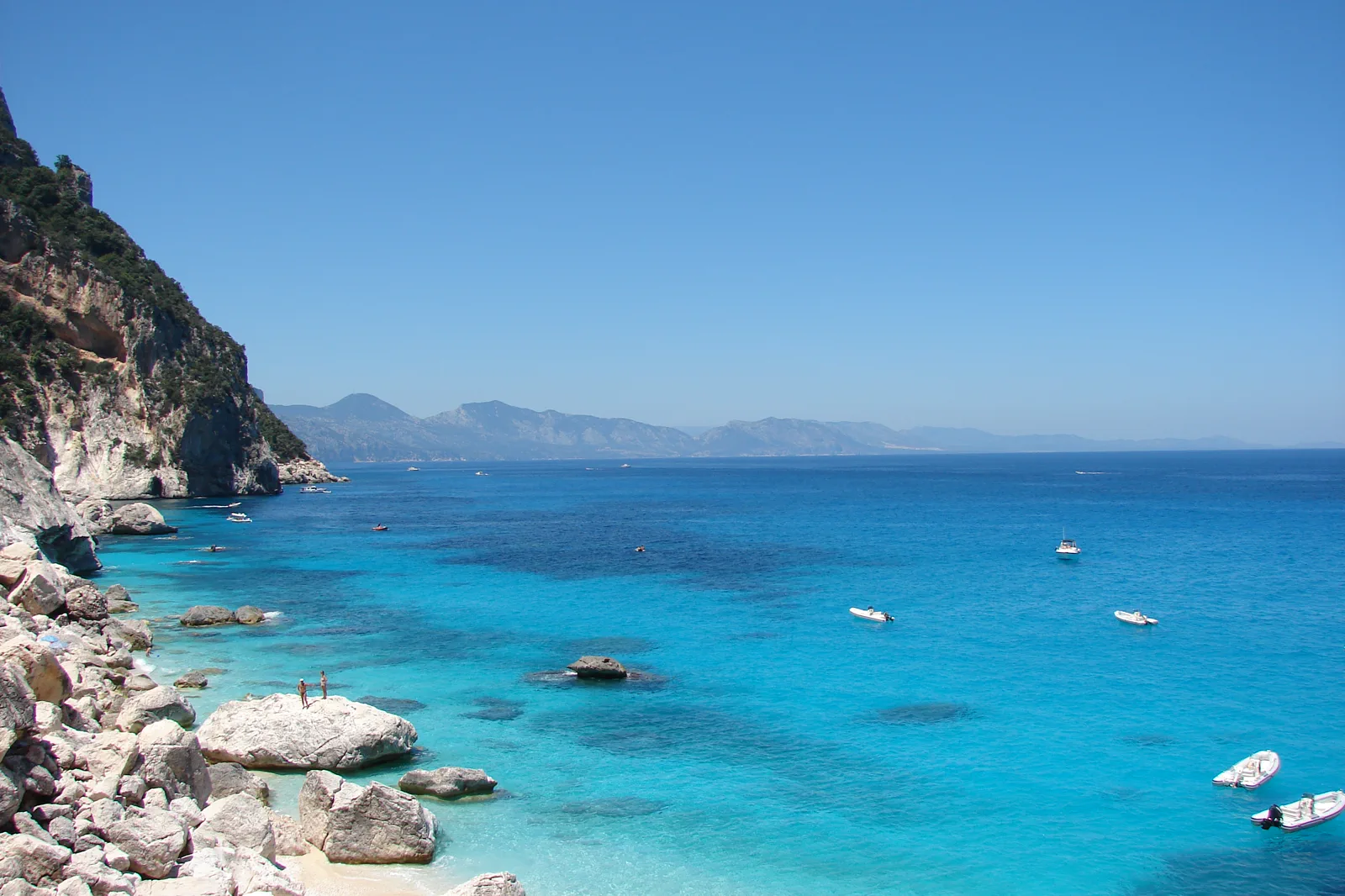
Begin where the transport actually ends.
Orosei, Cala Gonone, Baunei plateau trailheads and Gennargentu gateways are separated by mountain roads. A boat ticket does not grant a beach landing where marine rules prohibit it, and a Cala Goloritzé booking does not provide transport to the trailhead. Mobile coverage and public transport can be limited.
Know what the chosen line leaves out.
The sea route shows more coastline, the hike gives one cove an earned land sequence, and Gennargentu replaces water with mountain depth. Each uses the full safety and attention budget; combining them on one day is not credible.
Sardinia has four layers to align.
Sardinia is an island large enough to require regional bases, not a beach added to an Italian city trip. Cagliari and the south, La Maddalena and Gallura, and the Gulf of Orosei with the central mountains use different airports, ports, roads and permits. Choose one island quadrant before building a coastline checklist.
BASE
Three nights supports Cagliari plus Barumini; three or four nights supports Gallura and La Maddalena; four or more nights gives the Orosei coast and one inland mountain decision enough weather margin. A complete north-to-south trip generally needs ten days or more and deliberate transfer days.
TRANSFER
ARST buses and regional trains serve useful towns but not every beach or trailhead. Palau controls the scheduled La Maddalena ferry, while Cala Gonone, Orosei, Baunei and inland mountain towns are separate gateways. Rental cars add reach but do not remove protected-area permits, parking controls or rough-road limits.
SEASON
Mistral and local winds can change ferries, small-boat outings and beach comfort. Summer heat, fire risk, parking controls and visitor caps constrain the coasts; mountain weather and short winter light affect Gennargentu. Some island and beach services are strongly seasonal.
LOWER-RISK DAY
Keep a land-based fallback in the same quadrant: Cagliari museums for Barumini, Palau or Caprera for an archipelago sailing, and Orosei, Cala Gonone or an inland visitor town for a coast or mountain closure. Do not cross the island to rescue a single cancelled day.
Arrive, cross one gate, use one layer, then protect the return.
Check Comune di Baunei and regional protected-area notices, current reservation or permit rules, licensed boat status, marine and mountain weather, road and trail conditions, required water and final daylight.
- 01Arrive
Select the exact gateway
Confirm the port, Baunei trailhead or mountain municipality before leaving accommodation. Download maps and permits while connectivity is reliable.
- 02Cross the threshold
Pass the authority gate
Check in with the licensed boat operator, show the required hike reservation or follow the official mountain access. Carry the stated water, footwear and sun or weather protection.
- 03Use the layer
Use one turnaround
Follow permitted coves, descend only the reserved trail, or complete the signed upland route. Turn back at the planned time even when the destination appears close.
- 04Protect the return
Close before exposure rises
Return to port, trailhead or gateway with daylight and weather margin. Report any changed landing, trail or road condition before planning the next day.
Reopen the pages that control today’s gate.
The guide provides the decision structure; these authorities control admission, transport, paths, weather, marine operation and closures.
- SardegnaTurismo — official Gulf of Orosei and Gennargentu information.
- Comune di Baunei — official local access and regulation notices.
- SardegnaTurismo — official Regione Sardegna destination portal.
- ARST — official Sardinian regional transport information.
- Sardegna Cultura — official regional heritage portal.
Keep a complete alternative, not fragments.
If boats cancel, use an accessible mainland beach or Orosei/Cala Gonone town without attempting a private sea crossing. If Cala Goloritzé is full or closed, choose an officially open lower route. If mountain weather fails, remain with the gateway town and cultural sites.
Check Comune di Baunei and regional protected-area notices, current reservation or permit rules, licensed boat status, marine and mountain weather, road and trail conditions, required water and final daylight.
Change the plan while the return is still strong.
Boat approach is not landing permission
Marine protection rules can require vessels to keep distance or prohibit landing at sensitive coves. The operator and authority define the lawful stop.
The hike ends with the climb
Reaching Cala Goloritzé is only half the route. Water, heat and ascent time must be reserved before descending.
One map label spans many roads
Gulf of Orosei and Gennargentu do not share a single visitor gate. Name the municipality, road and trailhead, and avoid unsurfaced shortcuts not endorsed by the authority.
Other complete ways to use Sardinia.
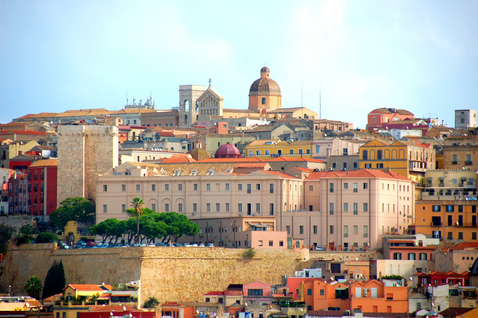
Cagliari & Su Nuraxi
Decide between Cagliari’s layered city, its lagoon-and-beach edge and a guided Su Nuraxi excursion, then make the Barumini…
Open this route folio →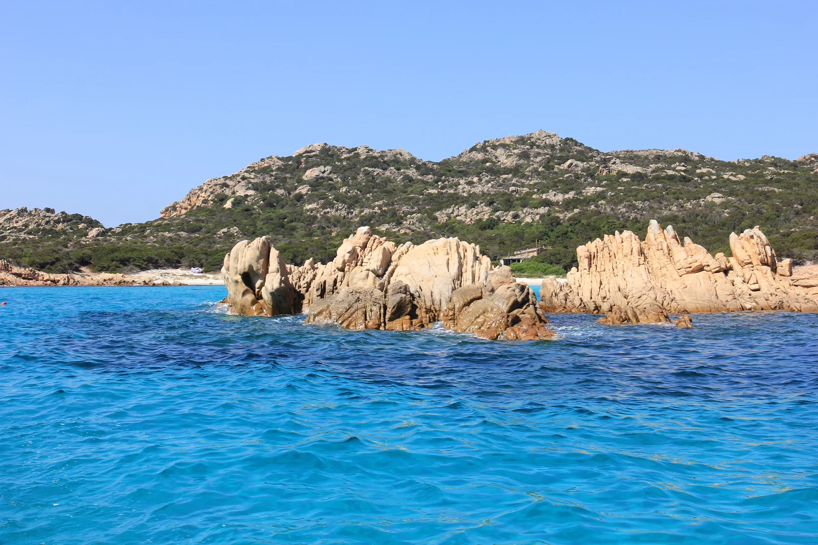
La Maddalena & Gallura
Choose a scheduled island landing, a Caprera land day or an authorised archipelago boat itinerary while separating public…
Open this route folio →Gulf of Orosei & Gennargentu FAQ
How much time should I give Gulf of Orosei & Gennargentu?
Allow a full day for a boat, regulated cove hike or mountain route, plus at least two nights in the appropriate gateway. A weather reserve day materially improves an Orosei or Gennargentu stay.
What should I combine with Gulf of Orosei & Gennargentu?
Combine the chosen route with its gateway town only. Keep La Maddalena, Barumini and Cagliari for separate regional bases.
What should I verify before leaving?
Check Comune di Baunei and regional protected-area notices, current reservation or permit rules, licensed boat status, marine and mountain weather, road and trail conditions, required water and final daylight.
Official sources and photo credits
Planning facts and image licensing were reviewed on 26 September 2026. Admission, rail, roads, ZTLs, paths, ferries, weather and local access can change; reopen the linked authority or operator before travel.
- SardegnaTurismo — official Gulf of Orosei and Gennargentu information.
- Comune di Baunei — official local access and regulation notices.
- SardegnaTurismo — official Regione Sardegna destination portal.
- ARST — official Sardinian regional transport information.
- Sardegna Cultura — official regional heritage portal.
- Castello (Cagliari).jpg — Municipality of Cagliari, CC BY-SA 3.0 it. Resized, display-cropped and converted to WebP; no other material edits.
- La Maddalena - Isola di Budelli (01).JPG — Gianni Careddu, CC BY-SA 3.0. Resized, display-cropped and converted to WebP; no other material edits.
- Cala Goloritze o.jpg — delaere, CC BY 2.0. Resized, display-cropped and converted to WebP; no other material edits.