La Maddalena & Gallura
Reach Palau with the mainland return understood, cross on the scheduled La Maddalena ferry or join a verified operator, use one island system fully, and respond to wind before the last crossing becomes fragile.
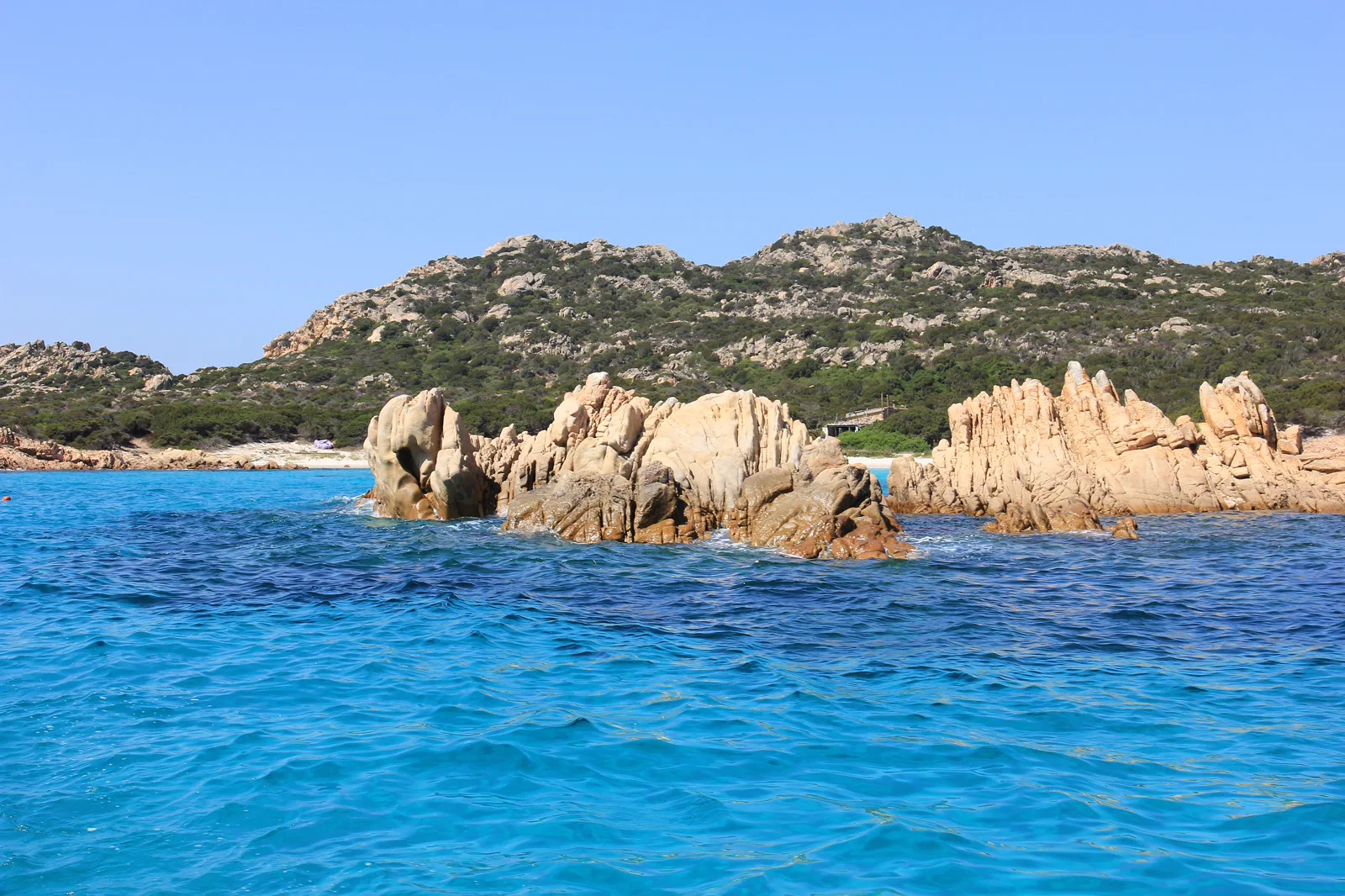
Three useful routes, each with a visible sacrifice.
Choose a scheduled island landing, a Caprera land day or an authorised archipelago boat itinerary while separating public ferry transport from protected-area excursions.
La Maddalena town and island road
Use the scheduled ferry, town and a bounded main-island coast circuit. It gives the most independent day but does not include remote-island landings.
Caprera land day
Cross from La Maddalena to Caprera for Garibaldi history, signed roads and selected coves or trails. It gains depth but requires local vehicle, bus, bicycle or realistic walking choices.
Authorised archipelago boat
Book a compliant excursion whose route and landings follow current park rules. It gains wider seascape but hands timing and destinations to weather, permits and the operator.
Begin where the transport actually ends.
Scheduled vehicle and passenger ferries leave Palau for La Maddalena; they are not the same product as sightseeing boats. Palau itself requires a confirmed Gallura road or bus approach. Caprera is linked by bridge from La Maddalena, while other islands need authorised marine access and current park rules.
Know what the chosen line leaves out.
A scheduled landing offers town context and control; a boat excursion offers breadth but less certainty and no promise of every beach. Caprera rewards a full land day. Combining all three produces rushed boardings and weak protected-area practice.
Sardinia has four layers to align.
Sardinia is an island large enough to require regional bases, not a beach added to an Italian city trip. Cagliari and the south, La Maddalena and Gallura, and the Gulf of Orosei with the central mountains use different airports, ports, roads and permits. Choose one island quadrant before building a coastline checklist.
BASE
Three nights supports Cagliari plus Barumini; three or four nights supports Gallura and La Maddalena; four or more nights gives the Orosei coast and one inland mountain decision enough weather margin. A complete north-to-south trip generally needs ten days or more and deliberate transfer days.
TRANSFER
ARST buses and regional trains serve useful towns but not every beach or trailhead. Palau controls the scheduled La Maddalena ferry, while Cala Gonone, Orosei, Baunei and inland mountain towns are separate gateways. Rental cars add reach but do not remove protected-area permits, parking controls or rough-road limits.
SEASON
Mistral and local winds can change ferries, small-boat outings and beach comfort. Summer heat, fire risk, parking controls and visitor caps constrain the coasts; mountain weather and short winter light affect Gennargentu. Some island and beach services are strongly seasonal.
LOWER-RISK DAY
Keep a land-based fallback in the same quadrant: Cagliari museums for Barumini, Palau or Caprera for an archipelago sailing, and Orosei, Cala Gonone or an inland visitor town for a coast or mountain closure. Do not cross the island to rescue a single cancelled day.
Arrive, cross one gate, use one layer, then protect the return.
Check Palau access, scheduled ferry notices, national-park rules, authorised operator and pier, wind and sea forecast, landing restrictions and the final mainland connection.
- 01Arrive
Establish the Palau return
Confirm mainland arrival, parking or bus, scheduled ferry status and the final connection beyond Palau. Boat-excursion guests verify the exact pier and operator separately.
- 02Cross the threshold
Cross on the correct product
Board the public ferry for La Maddalena and Caprera, or check in with the authorised excursion. Keep vehicle, bicycle, baggage and identification conditions with the matching ticket.
- 03Use the layer
Use one island system
Walk the town-and-coast line, follow a bounded Caprera route or accept the operator’s permitted island sequence. Respect closures, nesting areas and no-landing zones.
- 04Protect the return
Recover the mainland margin
Return to La Maddalena port or the excursion pier before wind and queues threaten the connection. Reach Palau before committing to an onward Gallura journey.
Reopen the pages that control today’s gate.
The guide provides the decision structure; these authorities control admission, transport, paths, weather, marine operation and closures.
- SardegnaTurismo — official La Maddalena destination information.
- La Maddalena Archipelago National Park — official rules and notices.
- SardegnaTurismo — official Regione Sardegna destination portal.
- ARST — official Sardinian regional transport information.
- Sardegna Cultura — official regional heritage portal.
Keep a complete alternative, not fragments.
If excursion boats cancel but scheduled ferries operate, use La Maddalena town or Caprera under current land conditions. If all crossings stop, stay in Palau and use a mainland Gallura route rather than seeking an informal boat.
Check Palau access, scheduled ferry notices, national-park rules, authorised operator and pier, wind and sea forecast, landing restrictions and the final mainland connection.
Change the plan while the return is still strong.
Public ferry is not a park tour
A Palau–La Maddalena ticket provides transport to the inhabited island, not access or landing rights throughout the archipelago.
Wind rewrites the route
Mistral and sea state can alter vessels, landings and comfort. Accept the operator or authority decision and keep a mainland alternative.
Protected beaches have real limits
Budelli and other sensitive places can have landing, swimming, anchoring or access restrictions. Describe only currently authorised behavior.
Other complete ways to use Sardinia.
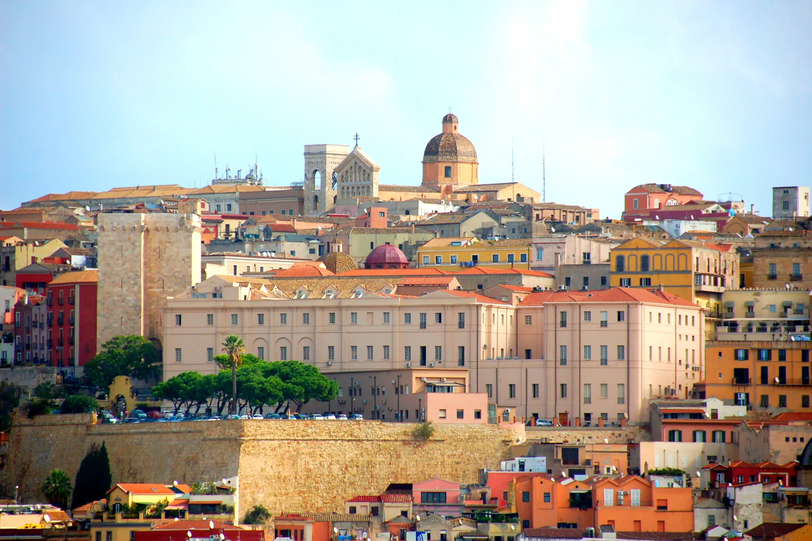
Cagliari & Su Nuraxi
Decide between Cagliari’s layered city, its lagoon-and-beach edge and a guided Su Nuraxi excursion, then make the Barumini…
Open this route folio →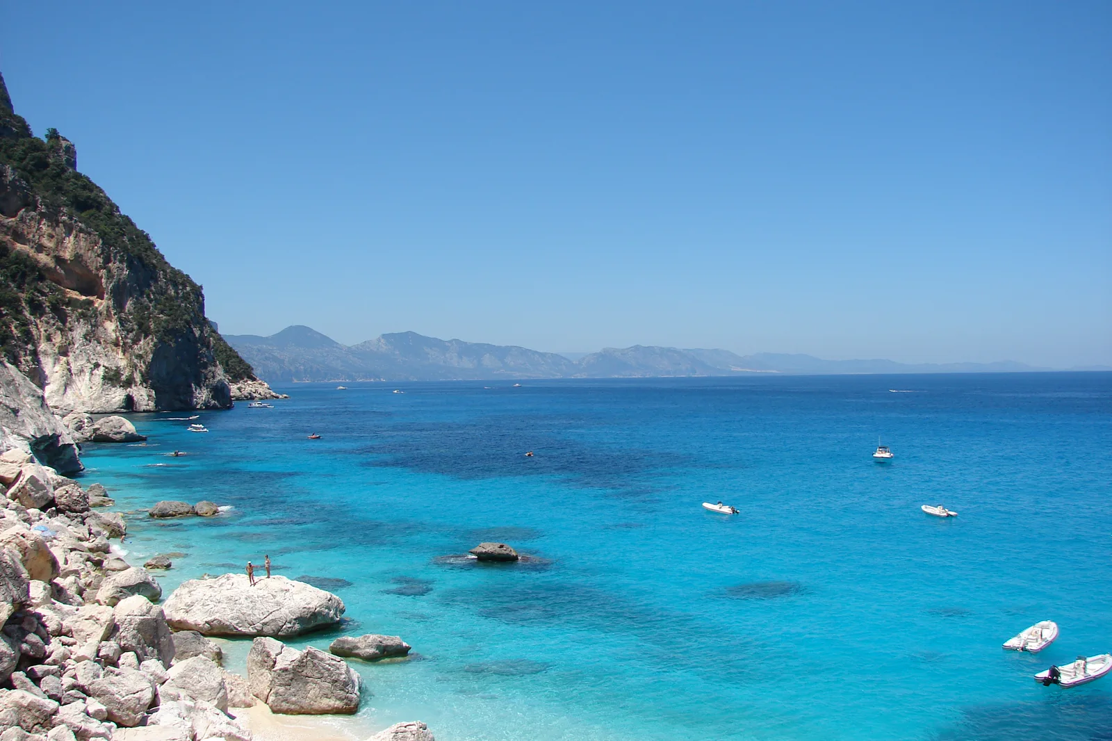
Gulf of Orosei & Gennargentu
Choose a Gulf boat day, the regulated Cala Goloritzé hike or a Gennargentu mountain route and make the correct gateway,…
Open this route folio →La Maddalena & Gallura FAQ
How much time should I give La Maddalena & Gallura?
Allow a full day from Palau for La Maddalena, Caprera or an archipelago excursion. An overnight on La Maddalena creates a much safer buffer for wind and island depth.
What should I combine with La Maddalena & Gallura?
Combine La Maddalena town with a bounded main-island or Caprera route. Keep Costa Smeralda road touring, Cagliari and Orosei for separate days or bases.
What should I verify before leaving?
Check Palau access, scheduled ferry notices, national-park rules, authorised operator and pier, wind and sea forecast, landing restrictions and the final mainland connection.
Official sources and photo credits
Planning facts and image licensing were reviewed on 26 September 2026. Admission, rail, roads, ZTLs, paths, ferries, weather and local access can change; reopen the linked authority or operator before travel.
- SardegnaTurismo — official La Maddalena destination information.
- La Maddalena Archipelago National Park — official rules and notices.
- SardegnaTurismo — official Regione Sardegna destination portal.
- ARST — official Sardinian regional transport information.
- Sardegna Cultura — official regional heritage portal.
- Castello (Cagliari).jpg — Municipality of Cagliari, CC BY-SA 3.0 it. Resized, display-cropped and converted to WebP; no other material edits.
- La Maddalena - Isola di Budelli (01).JPG — Gianni Careddu, CC BY-SA 3.0. Resized, display-cropped and converted to WebP; no other material edits.
- Cala Goloritze o.jpg — delaere, CC BY 2.0. Resized, display-cropped and converted to WebP; no other material edits.