Canopy Walkway & Bukit Teresek vertical forest profile.
Plan the canopy walkway and Bukit Teresek with current opening, trail conditions, heat, fitness and a guide-informed return.
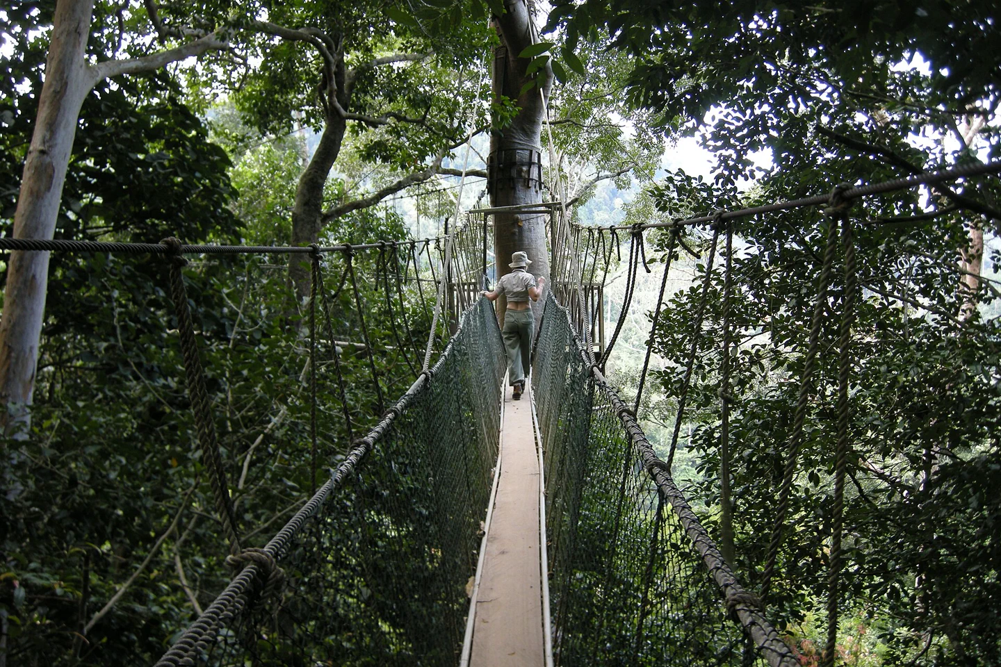
Start from park headquarters with registration complete and the exact path understood.
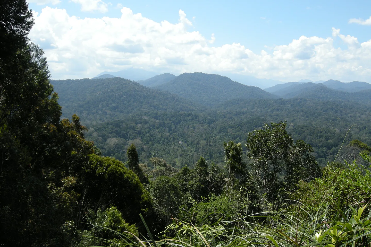
Forest floor, canopy, assessed hill climb and a controlled return reveal elevation without chasing wildlife.
Wildlife sightings are not promised, and closed sections should never be bypassed.
One chapter, with its edges left visible.
The canopy and Bukit Teresek form a vertical forest chapter, but neither is guaranteed open or suitable every day. Trail and walkway status must shape the route.
Keep the sequence legible.
Forest floor, canopy, assessed hill climb and a controlled return reveal elevation without chasing wildlife.
Trail
Enter quietly with water and proper footwear.
Canopy
Follow spacing and staff instructions on the suspended sections.
Hill choice
Continue only if weather, time and fitness remain suitable.
Return
Descend with daylight and energy in reserve.
Three weak points to solve.
These checks change faster than the page. Reconfirm them with the listed official source and the actual operator close to travel.
Closure
Weather or maintenance may close the walkway.
Heat and humidity
Short distances can be physically demanding.
Trail surface
Roots, mud and steps require stable footwear.
Wildlife sightings are not promised, and closed sections should never be bypassed.
Canopy Walkway & Bukit Teresek FAQ
How much time should Canopy Walkway & Bukit Teresek receive?
Allow half a day, longer for a careful hill route and interpretation.
Can I combine Canopy Walkway & Bukit Teresek with another major chapter?
A night walk should remain a separate guided block. Do not add a long river trip after fatigue.
What should I verify before leaving?
Check current walkway status, trail conditions, weather, permit and guide advice.
Choose the next chapter by purpose.
Return to the regional guide before joining distant branches into one day.
Official sources and photo credit
Planning facts and the image license were reviewed on 30 August 2026. Schedules, access, permits, weather and operator terms change; verify directly before travel.
- PERHILITAN — Taman Negara Pahang, Kuala Tahan.
- PERHILITAN — ecotourism FAQ, gateways and permits.
- PERHILITAN — Sungai Relau, Merapoh gateway.
- METMalaysia — district weather forecast.
- Taman Negara canopy walkway — Vyacheslav Argenberg, CC BY 4.0. Resized, center-cropped and converted to WebP; no other material edits.