Woljeongri
× Gimnyeong
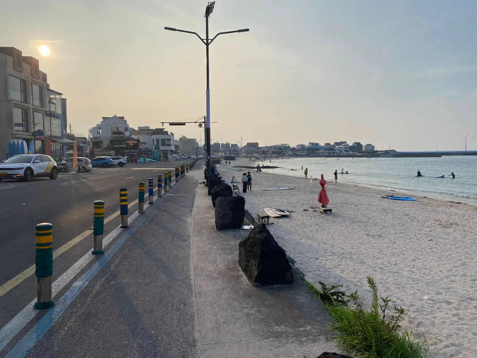
This coast is not one turquoise backdrop. It is a working mix of sand, basalt, sea walls, village thresholds, wind and managed water—each with a different rule of use.
Woljeongri and Gimnyeong quick facts
Read the coast before using it
Visual similarity does not mean equal access. A beach, volcanic edge, seawall and residential lane ask different things from the visitor.
Managed sand
Use current beach notices to separate walking, swimming and water-sport conditions.
HANDLE · by season and flagVolcanic edge
Dark rock can be sharp, wet, unstable or ecologically sensitive. Stay on the permitted route.
HANDLE · without collectingVillage boundary
Stone walls and narrow lanes organize homes, fields, work and wind—not a photo studio.
HANDLE · from public spaceExposed wind
Wind changes cycling, umbrellas, sea entry, drone rules and the comfort of a long coastal walk.
HANDLE · as a route conditionThe café road has a back side
Woljeongri's seafront businesses sit beside a village with deliveries, residents and narrow approaches. Solve arrival and departure before stopping in the traffic lane for a view.
A beach can be open to look at and closed to your plan
Official information describes water activities and relatively shallow sections during the managed beach season. That does not make unsupervised or out-of-season entry automatically safe.
Public shore access, wind, spray and safe footing
Continue from a permitted edgeOfficial swimming period, flags, lifeguards and current restriction
Enter only within managed permissionOperator, ability, equipment, zone and sea condition
Use qualified local guidanceTide, route status, daylight, surface and exit points
Turn around before the path commits youThree chapters are enough
Choose the direction that fits the day's transport. The reverse works equally well; what matters is eliminating repeated backtracking.
- 01 / VILLAGE EDGE
Gimnyeong orientation
Start with public lanes, a verified coastal point and the transport needed for the next segment.
Do not add a cave without checking its separate current status. - 02 / COASTAL THREAD
One marked walking section
Use the maintained route that is actually open. The road shoulder is not a substitute for a closed trail.
Wind can turn the intended direction around. - 03 / BEACH PAUSE
Woljeongri finish
Make one water decision, one food or café stop and one safe departure.
A sunset is optional; the return is not.
Never promote an old route map into a current open gate
Visit Jeju's current Woljeongri listing specifically tells travelers to check the latest operation and maintenance status for the Gimnyeong–Woljeong Geo Trail. The same discipline applies to caves and other managed volcanic sites.
Write the day as stops, not distances
Save the boarding stop and direction near the accommodation.
Use one public coastal anchor within a realistic walk.
Finish near the exact stop for the return corridor.
Keep a screenshot of the final useful services and a taxi fallback.
If a transfer creates more waiting than exploration, remove a stop. A smaller route is not a lesser visit.
Leave the village easier to live in
Spend locally without turning quiet thresholds into content. Keep noise, drones, waste and parked vehicles inside the rules of a residential coast.
- 01No doorway or driveway blocking
- 02No collecting sand, basalt or marine material
- 03No portraits or home interiors without consent
- 04No water entry based only on appearance
Woljeongri and Gimnyeong FAQ
Can both villages fit into one day?
Yes. Move in one direction, choose three meaningful chapters and avoid adding distant attractions. The route works in either direction when it matches your bus or parking plan.
Can I swim at Woljeongri all year?
No. Shore access and swimming permission are different. Check the current managed season, flags, lifeguards, facilities and water conditions before entering.
Is the Geo Trail always open?
Do not assume so. Official tourism information advises checking the latest operation and maintenance status. Follow current signs and never improvise around a closure.
Does the route work without a car?
Yes with a reduced bus-corridor plan. Save exact stop names, travel direction and the final useful return service, then keep each walk within a clear public route.
From village material to ferry time
Official sources and photo credit
Planning facts were reviewed on 26 August 2026. Recheck managed beach operations, water conditions, bus services, route maintenance and all volcanic-site access before travel.