Chur Old Town & Rhine Gorge
Use Chur’s old town as a compact urban anchor, then choose a specific Rhine Gorge rail or walking segment rather than treating the entire gorge as one roadside viewpoint.
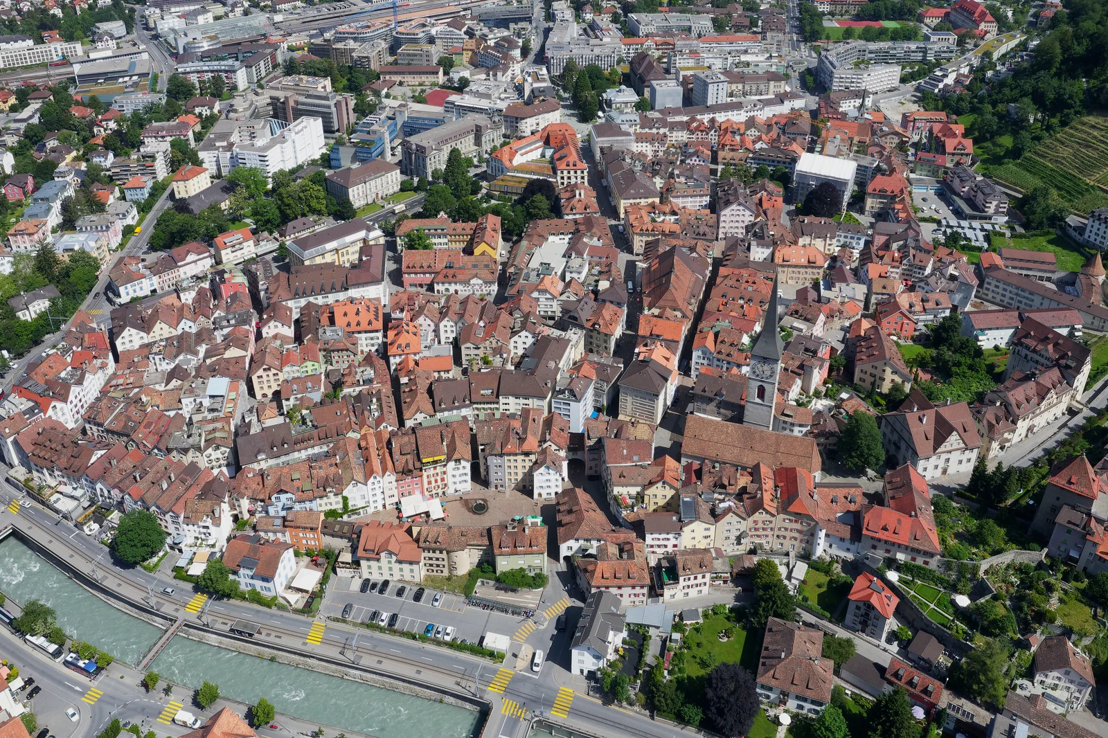
Chur focus
Old town and museums; best in rain or on arrival.
Rail-view gorge
Ride through the landscape with minimal hiking.
Station-to-station hike
Only on a verified open route with a clear exit station.
Know where the day actually begins.
Chur station sits beside the old town edge and RhB network. Gorge stations lie on regional rail corridors; choose the exact station pair before attempting a walk because access is constrained by steep terrain.
What this route gives up.
Chur plus a short gorge segment gives city-and-landscape contrast in one day. A longer gorge hike requires more time and trail planning, leaving less room for the old city.
Fit this field guide into Chur, Davos & Graubünden, not into an isolated checklist.
Chur is a compact historic city and the practical gate to multiple Rhaetian Railway corridors. Davos, Arosa and the Rhine Gorge are not neighboring attractions in walking terms; each is a distinct rail or road day. Treat the canton as a set of transport corridors with different weather and seasonal functions.
Two nights in Chur can support one city and one excursion; more time belongs in the mountain base itself if hiking or winter sports are the purpose.
RhB trains are the organizing system. Arosa, Davos and the Rhine Gorge use different branches; through-ticket ease should not be mistaken for geographic closeness.
Resort lifts, hiking trails and winter operations vary strongly by season. Chur remains usable year-round and is the safest fallback when high terrain closes.
If mountain plans fail, use Chur’s old town, museums and a shorter rail excursion. Keep a second corridor ready instead of forcing a closed lift or exposed trail.
Arrive, orient, commit, then protect the return.
Check RhB timetables and official trail/access information for the chosen gorge section. River and slope conditions can affect paths.
- 01Arrive
Read Chur once
Use the compact old city in a single loop from the station.
- 02Orient
Choose the gorge exit
Know the return station before entering any path.
- 03Commit
Ride or walk one coherent segment
Do not hop among inaccessible viewpoints.
- 04Return
Return to Chur by rail
Let the station close the day without road transfers.
A useful day even when the postcard disappears.
In poor weather, keep Chur and use a scenic train segment without a long hike. If trails are closed or wet, do not improvise shortcuts in the gorge.
Check RhB timetables and official trail/access information for the chosen gorge section. River and slope conditions can affect paths.
Change the plan before the problem compounds.
Gorge access
Steep terrain limits exits. Do not treat map lines as casual shortcuts.
Trail closures
Rockfall, weather or maintenance can change routes. Verify.
Corridor confusion
Arosa and Davos are not add-ons to the Rhine Gorge day.
Other ways to use Chur, Davos & Graubünden.
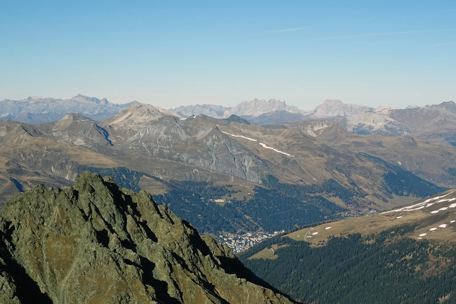
Davos & Parsenn
Treat Davos as a high-valley base whose useful plan changes by season, then choose Parsenn or a lower lake/valley day…
Open this guide →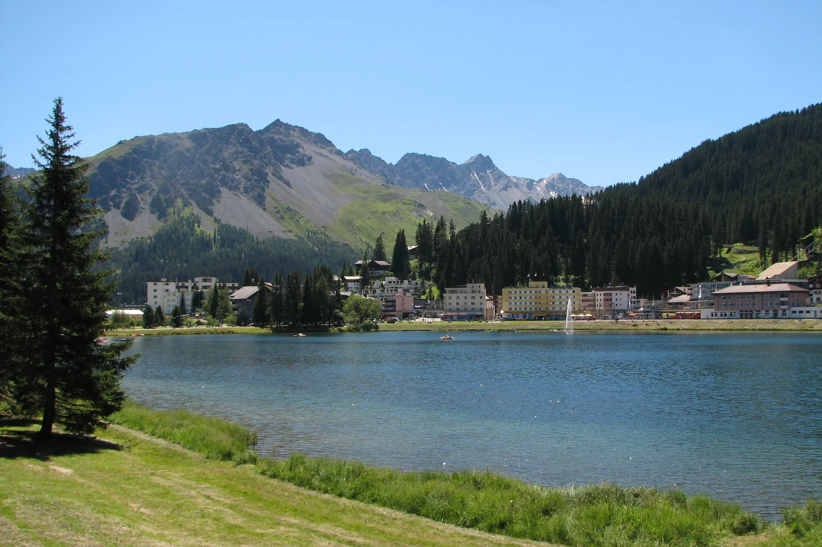
Arosa & the Mountain Railway
Make the Chur–Arosa railway part of the excursion, then keep the resort day focused on the lake, village or one open…
Open this guide →Chur Old Town & Rhine Gorge FAQ
How much time should I give Chur Old Town & Rhine Gorge?
Half a day for Chur, full day for a meaningful gorge extension. Allow two to three hours for the old town alone and most of a day when a verified gorge rail or walking segment is part of the plan; the transfer to the chosen exit station belongs inside that time budget.
What should I combine with Chur Old Town & Rhine Gorge?
Pair only with one Rhine Gorge section. Keep Arosa or Davos as separate corridor days.
What should I verify before leaving?
Check RhB timetables and official trail/access information for the chosen gorge section. River and slope conditions can affect paths.
Official sources and photo credits
Planning facts and image licensing were reviewed on 12 September 2026. Lift, boat, trail, weather and transport conditions can change quickly; verify the linked operator or authority before travel.
- Graubünden Tourism.
- Rhaetian Railway.
- Davos Klosters Tourism.
- Arosa Lenzerheide.
- Chur (Altstadt).jpg — Freaktalius, CC BY-SA 4.0. Resized, display-cropped and converted to WebP; no other material edits.
- Davos as seen from Älplihorn (summer).jpg — Capricorn4049, CC BY-SA 4.0. Resized, display-cropped and converted to WebP; no other material edits.
- Arosa, Switzerland - Lake (2).jpg — Aileen's Pics, CC BY-SA 2.0. Resized, display-cropped and converted to WebP; no other material edits.