Interlaken Base & Harder Kulm
Use Interlaken to organize rail, lake and valley departures, then give the town only the time it earns: a compact walk, logistics reset and optionally Harder Kulm in clear weather.
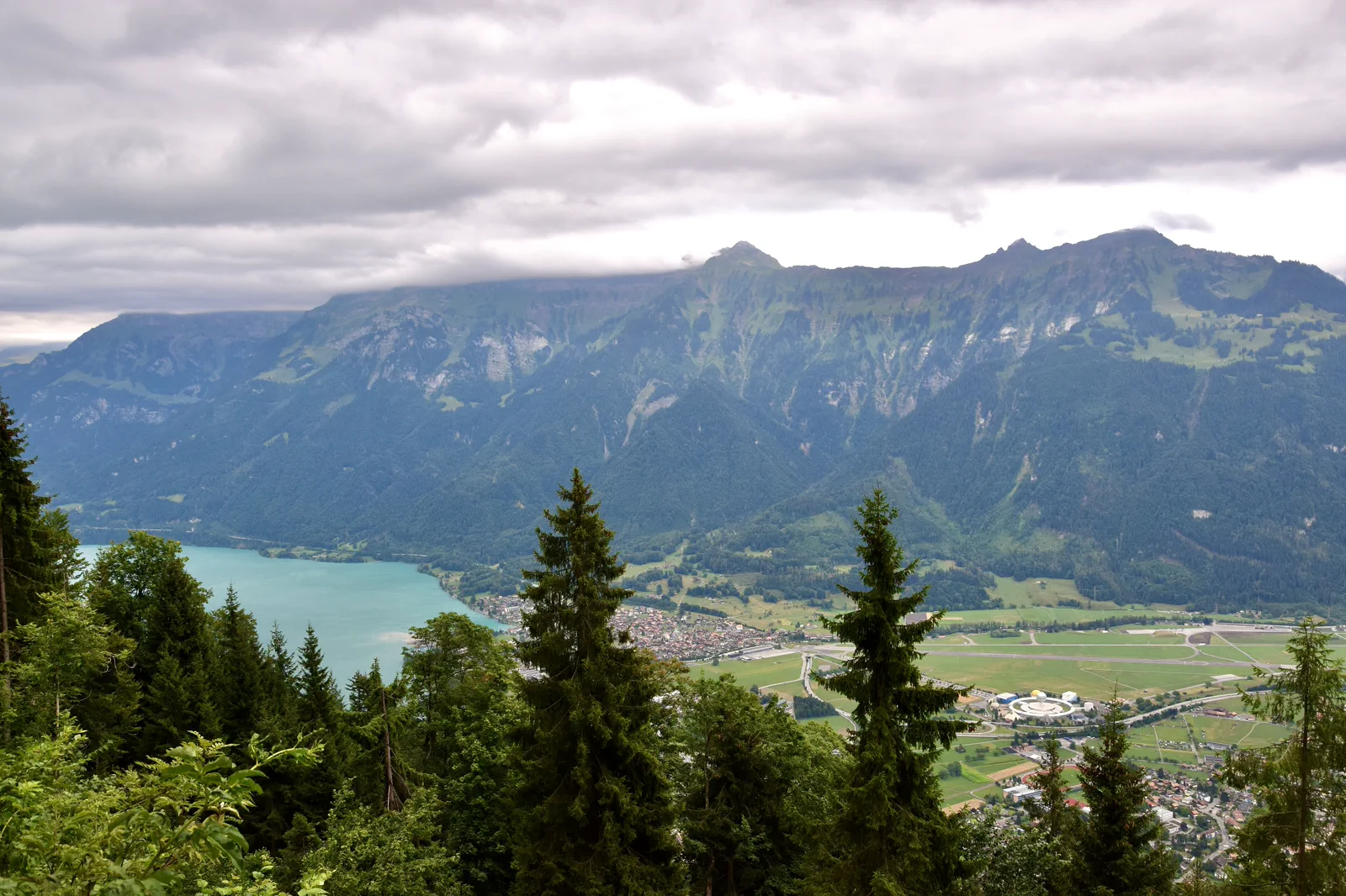
Logistics reset
Station orientation, groceries and town walk; best on arrival.
Viewpoint add-on
Harder Kulm when clear; useful only if the view is visible.
Low-weather pivot
Use Interlaken as the launch point for Thun, Spiez or Brienz while higher routes wait.
Know where the day actually begins.
Interlaken Ost is the main junction for Brienz and Jungfrau-region trains; West serves the opposite end of town and Thun-side movement. Know which station your hotel and next departure use.
What this route gives up.
The town is convenient, flat and easy for recovery, but it should not displace a stronger lake or valley day. Harder Kulm adds an overhead view when clear, not an automatic must-do.
Fit this field guide into Interlaken, Thun & Brienz, not into an isolated checklist.
Interlaken sits between Lake Thun and Lake Brienz and connects onward to the Jungfrau region. The town itself is convenient but not the strongest reason to spend a whole day. Use it as a base, then decide whether the day belongs to Brienz/Giessbach, Thun/Spiez or the high valleys.
Two to four nights work if Interlaken is the base for several excursions. Stay near Interlaken Ost for Jungfrau/Brienz access or West for Thun-side rail and a more central evening position.
Interlaken Ost and West serve different parts of the corridor. Trains and boats split toward Brienz and Thun; high-mountain journeys use additional operators and should be planned separately.
Lake boats and mountain connections vary by season. Föhn, rain and cloud can make the lakes excellent while high summits are poor, so keep a low-elevation day ready.
Use Thun, Spiez, Brienz or a lake boat when high mountains are hidden. A flexible base earns its cost only when you are willing to swap days by weather.
Arrive, orient, commit, then protect the return.
Check the exact station for each departure, Harder Kulm operating season and local weather. Paragliding or adventure activities require operator-specific checks beyond this guide.
- 01Arrive
Map Ost versus West
Save hotel and next-day departure stations before wandering.
- 02Orient
Walk the central corridor once
Use Höheweg and the Aare as orientation, not a whole-day attraction list.
- 03Commit
Take the viewpoint only if earned
Check conditions before paying for elevation.
- 04Return
Prepare tomorrow’s first connection
End the day by confirming the exact platform/operator for the next excursion.
A useful day even when the postcard disappears.
If mountains are hidden, use the town for laundry, food, shopping, a low-level river/lake walk or a train to Thun/Spiez. If Harder Kulm is clouded, skip the fare and protect energy.
Check the exact station for each departure, Harder Kulm operating season and local weather. Paragliding or adventure activities require operator-specific checks beyond this guide.
Change the plan before the problem compounds.
Gateway inflation
Convenient hotels do not make every central attraction essential. Save time for the region.
Two-station mistakes
Ost and West are close enough to confuse but far enough to matter with luggage or a timed train.
Adventure marketing
Activities require separate safety/operator judgment. Do not let storefront availability replace planning.
Other ways to use Interlaken, Thun & Brienz.
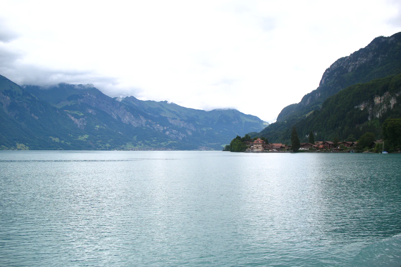
Lake Brienz, Brienz & Giessbach
Choose a boat–rail combination around Lake Brienz, using Brienz or Giessbach as the one main stop and protecting the…
Open this guide →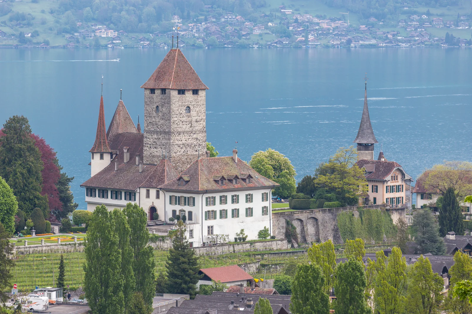
Lake Thun, Thun & Spiez
Use the western lake for a town-and-castle day, choosing Thun’s urban old town or Spiez’s compact bay as the main…
Open this guide →Interlaken Base & Harder Kulm FAQ
How much time should I give Interlaken Base & Harder Kulm?
Two to four hours is enough for the town itself; Harder Kulm can extend the block. The real value is simplifying multiple excursion days.
What should I combine with Interlaken Base & Harder Kulm?
Pair with arrival/departure day or one shorter lake segment. Do not bolt it onto a long Jungfraujoch or hiking day just because the hotel is here.
What should I verify before leaving?
Check the exact station for each departure, Harder Kulm operating season and local weather. Paragliding or adventure activities require operator-specific checks beyond this guide.
Official sources and photo credits
Planning facts and image licensing were reviewed on 12 September 2026. Lift, boat, trail, weather and transport conditions can change quickly; verify the linked operator or authority before travel.
- Interlaken Tourism.
- BLS Lake Thun & Lake Brienz navigation.
- SBB rail planning.
- Jungfrau Railways.
- View of Interlaken and Lake Brienz from Harder Kulm (Ank Kumar) 02.jpg — Ank Kumar, CC BY-SA 4.0. Resized, display-cropped and converted to WebP; no other material edits.
- 5498 - Brienzersee - Iseltwald looking toward Giessbach & Brienz.JPG — Andrew Bossi, CC BY-SA 2.5. Resized, display-cropped and converted to WebP; no other material edits.
- Blick auf Schloss Spiez und Thunersee.jpg — JoachimKohler-HB, CC BY-SA 4.0. Resized, display-cropped and converted to WebP; no other material edits.