Ko Lanta position before resort
Ko Lanta Yai stretches far enough that “on the island” says very little. Northern arrival, west-coast beach bands, east-side Old Town and the national-park south operate through one long road. Choose where on the spine you want to spend your time.
Each kilometre changes the base trade-off
The labels are planning bands, not promises about one hotel. Inspect the exact road, beach access and evening radius.
Saladan & Klong Dao
Fastest access to the main arrival side, broad services and easier onward transport. More movement and less seclusion are the exchange.
Long Beach
A strong first-time balance of beach, food and road access. Exact lanes and shoreline conditions still vary.
Klong Khong & Klong Nin
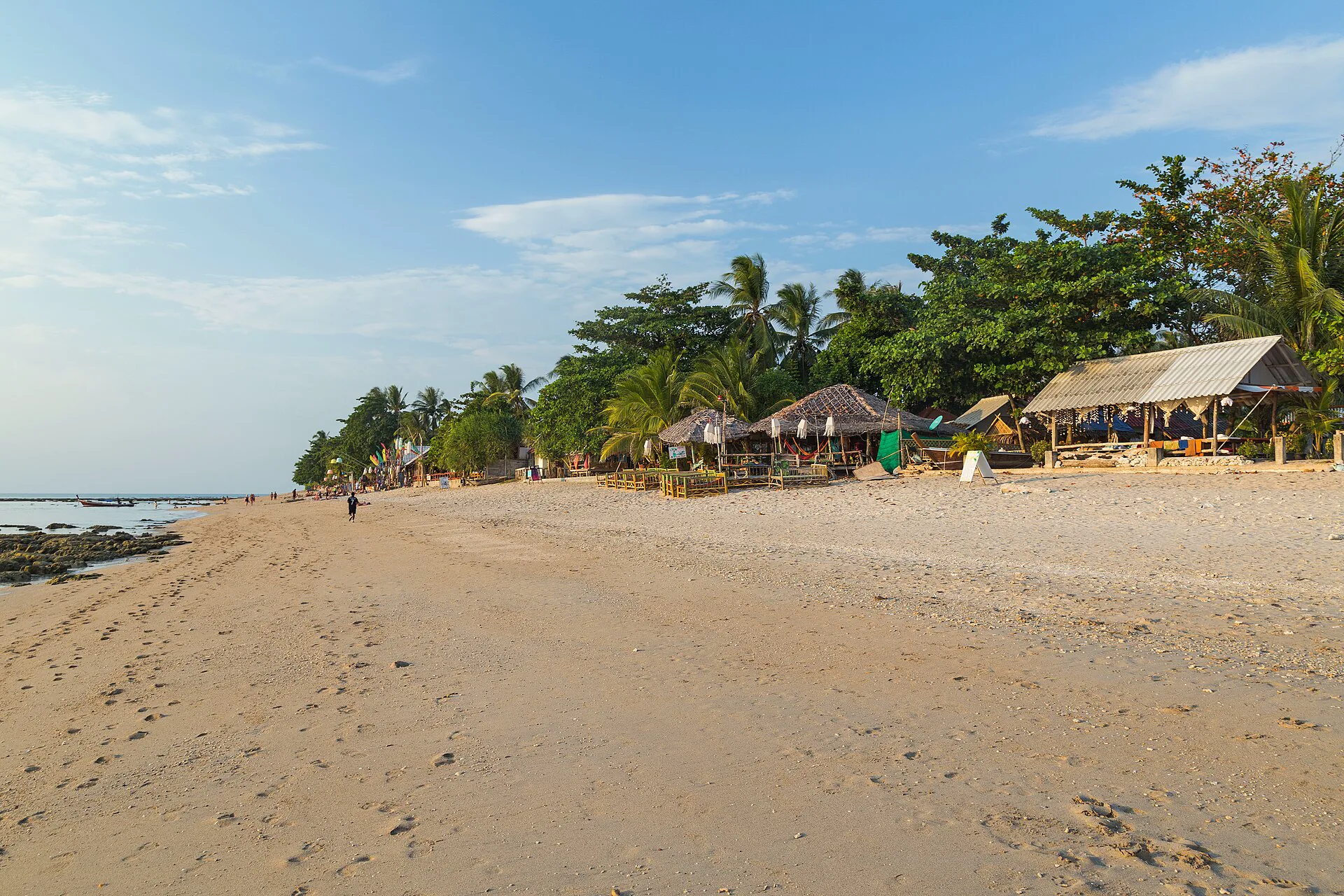
More spread and slower evenings. Beach swimming changes by tide, rocks and season; do not book from one cropped image.
Kantiang & park edge
Quieter dramatic coast with a longer ride to arrival services. Keep fuel, vehicle, daylight and return in view.
Lanta Old Town
A historic settlement and east-coast chapter, not a substitute for west-coast sunset swimming. Cross-island road time belongs in the plan.
Choose the place you will not need to leave at dinner
A walkable cluster of food, shade and the right beach can be more valuable than a remote room that requires two road trips every day.
Inspect the exact property
- Safe walking route after dark and distance to food.
- Direct, public or hotel-controlled beach access.
- Current swimming flags, rocks and tide exposure.
- Transfer time from the arrival pier and to the departure operator.
Surface, rain, animals and darkness all change the spine
A scooter is optional, not the entry fee. Arrange a local driver, choose a compact base or rent a suitable vehicle only when licence, insurance and experience are real.
Agree before moving
Confirm destination, total fare, waiting and return. Save a contact when staying outside a busy strip.
Inspect and document
Use legal documents and coverage; photograph condition and understand fuel and roadside support.
Not a learning tool
Wear a proper helmet, never ride after alcohol and avoid unfamiliar wet or dark roads.
Check the lane
A short map distance may lack a shoulder or lighting. Choose lodging with an honest pedestrian radius.
The park is a condition-led day
Drive south only when access, weather, vehicle and daylight support the complete return.
Check DNP
Verify current road, trail, beach and facility status. A map pin does not confirm an open gate.
Follow flags
Remote beaches do not guarantee calm swimming. Respect closures and current local instruction.
Keep distance
Secure food and belongings, never feed animals and follow ranger guidance around macaques and other wildlife.
Read the actual tide
Rock, depth and usable sand change. Ask locally and use posted flags before entering.
Know the route
Confirm park fees, vessel, snorkeling conduct and bad-weather substitute with an identifiable operator.
Seasonal is not daily
Some links operate only in certain periods. Reconfirm close to travel and keep a mainland route.
Move closer first
Do not let a long island road plus boat control a separate flight; use a land-side buffer.
Travel south once, not every day
Arrive and measure
Learn the beach, road and food radius before committing to a distant excursion.
Use the chosen base
Swim under current guidance, rest and let the reason for staying here fill a full day.
One long road chapter
Choose the park south or Old Town east; do not force both when daylight and weather are weak.
Boat or recovery
Use a verified marine route only when conditions fit, otherwise keep the island day and protect departure.
Ko Lanta planning FAQ
Where should I stay?
North for easiest arrival and services, mid-west for a useful beach balance, south for quieter scenery with more road time, or Old Town for an east-coast cultural chapter.
How many nights do I need?
Four to six nights lets the long geography work and leaves a movable weather day. With two nights, arrival and departure dominate.
Do I need a scooter?
No. A walkable base plus arranged transport is valid. Rent only with legal documents, insurance, a proper helmet and substantial riding experience.
Is the national park always open?
Do not assume it. Check DNP for current access and local conditions for road, trail and water safety before traveling south.
Trang constellation, Phi Phi clock or full chart?
Official sources and photo credit
Reviewed 26 August 2026. Road, beach, park, forecast and boat conditions change. Image was resized and converted to WebP; visible framing may crop the display.
- Tourism Authority of Thailand — Krabi and Ko Lanta context.
- Department of National Parks — park information and booking portal.
- Thai Meteorological Department — shipping forecast.
- Klong Khong Beach, Ko Lanta — Marcin Konsek, CC BY-SA 4.0; resized and converted to WebP, display crop.