Andaman sea before island
The west coast is not one beach list. Phuket is an air gateway and lived-in island; Phang Nga is a sheltered bay and offshore park frontier; Krabi, Trang and Satun each create different pier chains. Plot the whole transfer before choosing the postcard.

Four coordinates decide the route
A coast trip becomes resilient when weather, gateway, pier and final connection are solved before hotel photos.
Read the live forecast
Use the official shipping forecast and warnings. Waves in thunderstorms can exceed the broad forecast; a paid booking does not make a crossing sensible.
Name every transfer
Airport, road vehicle, pier, boat, beach landing and hotel pickup are separate links. Confirm which operator owns each one.
Protect the flight
Do not connect a weather-exposed boat directly to a separate international ticket. Return to a reliable mainland or airport base first.
Choose the chart that matches the coast
Each chapter uses a different structure because an old-town base, a karst peninsula, a marine park and a long southern chain fail in different ways.
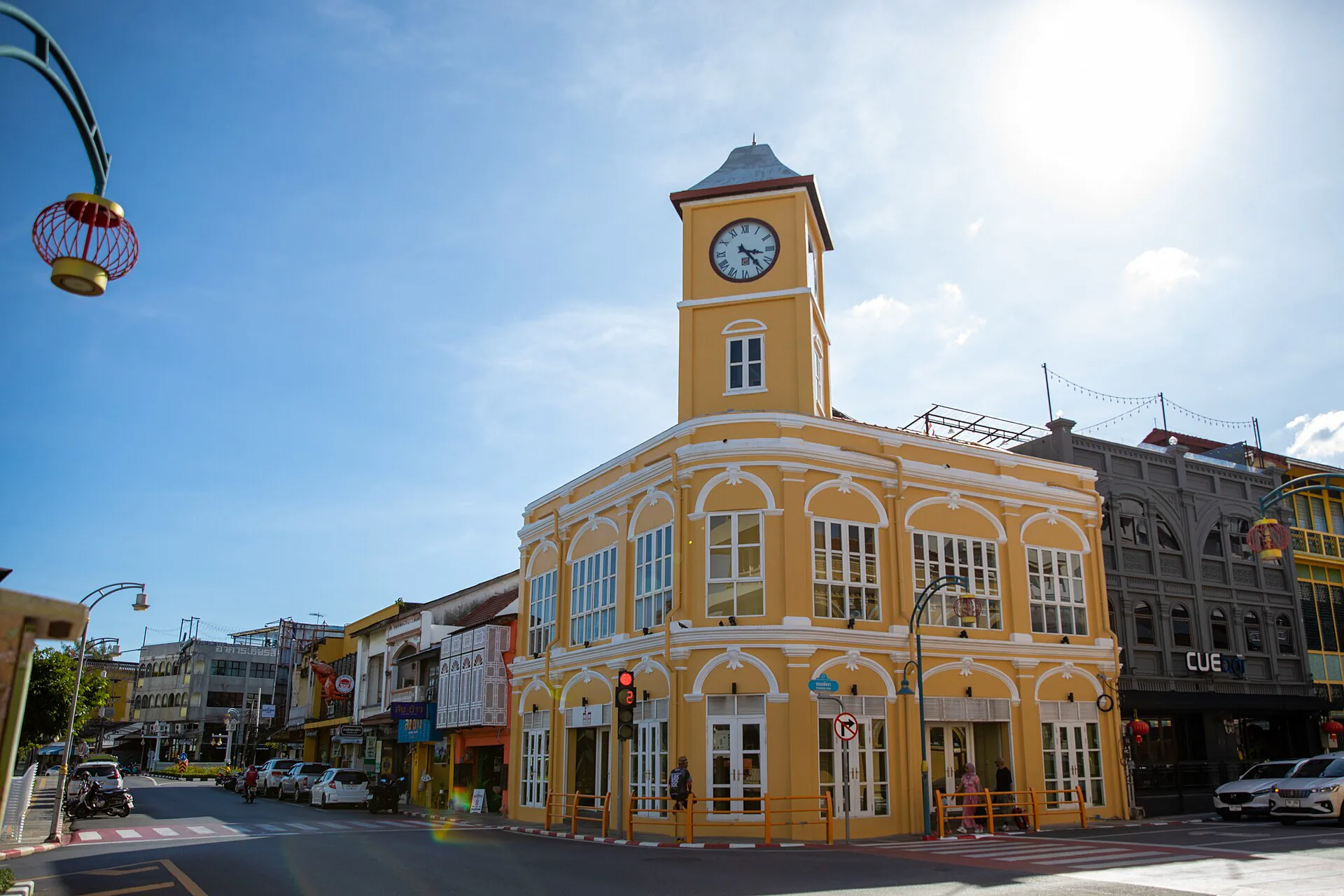
Phuket Old Town & South
Separate the airport, heritage town, west beaches and southern piers before choosing one hotel.
Open the island ledger →
Phang Nga & Ko Yao
Sheltered-bay scale, community islands and the boat plan that still needs a weather check.
Read the manifest →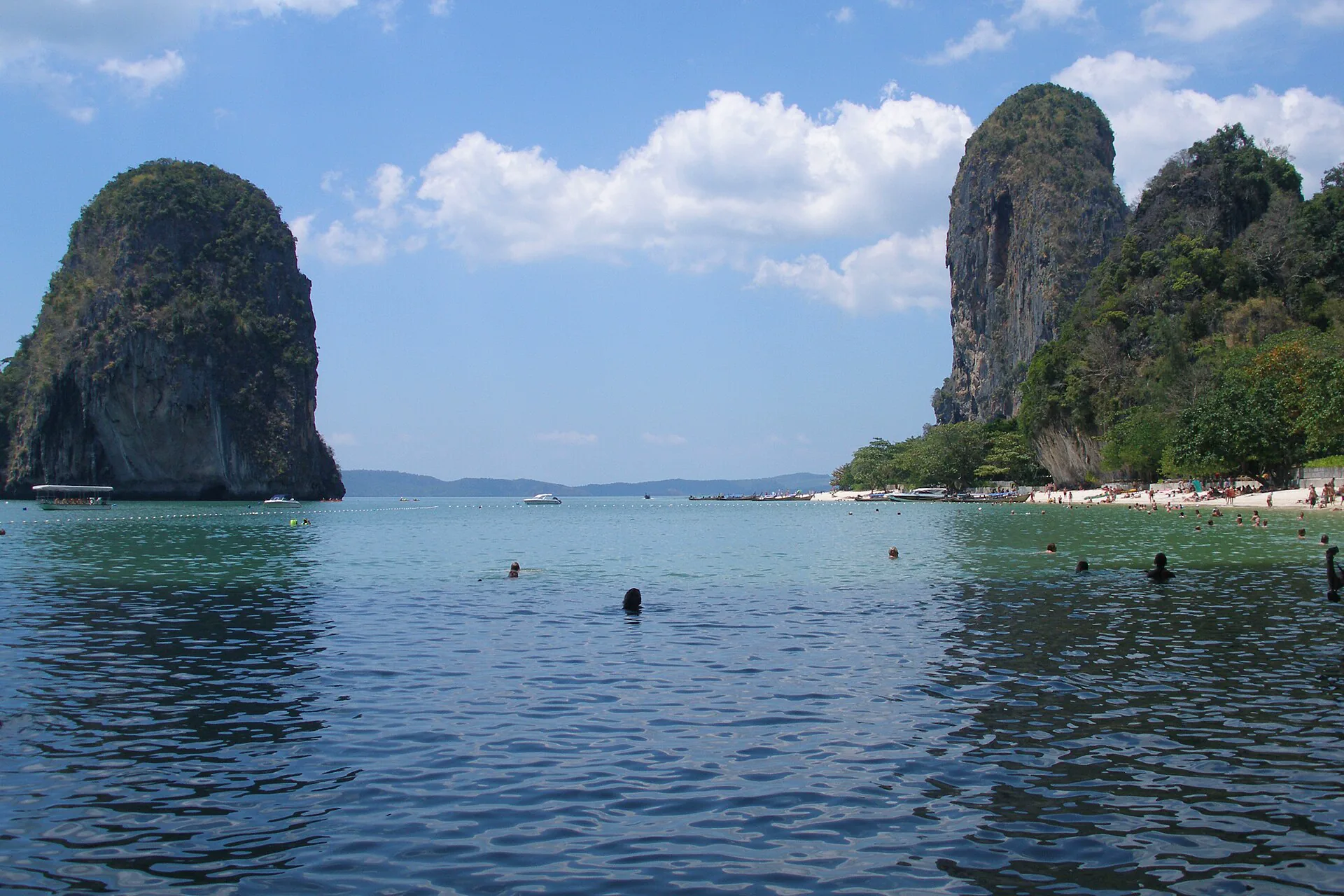
Krabi & Railay
Choose town, Ao Nang or boat-access peninsula by the day you actually want to operate.
Read the coastline →
Phi Phi Islands
Visitor capacity, park rules, day-trip compression and the difference between Don and Leh.
Set the island clock →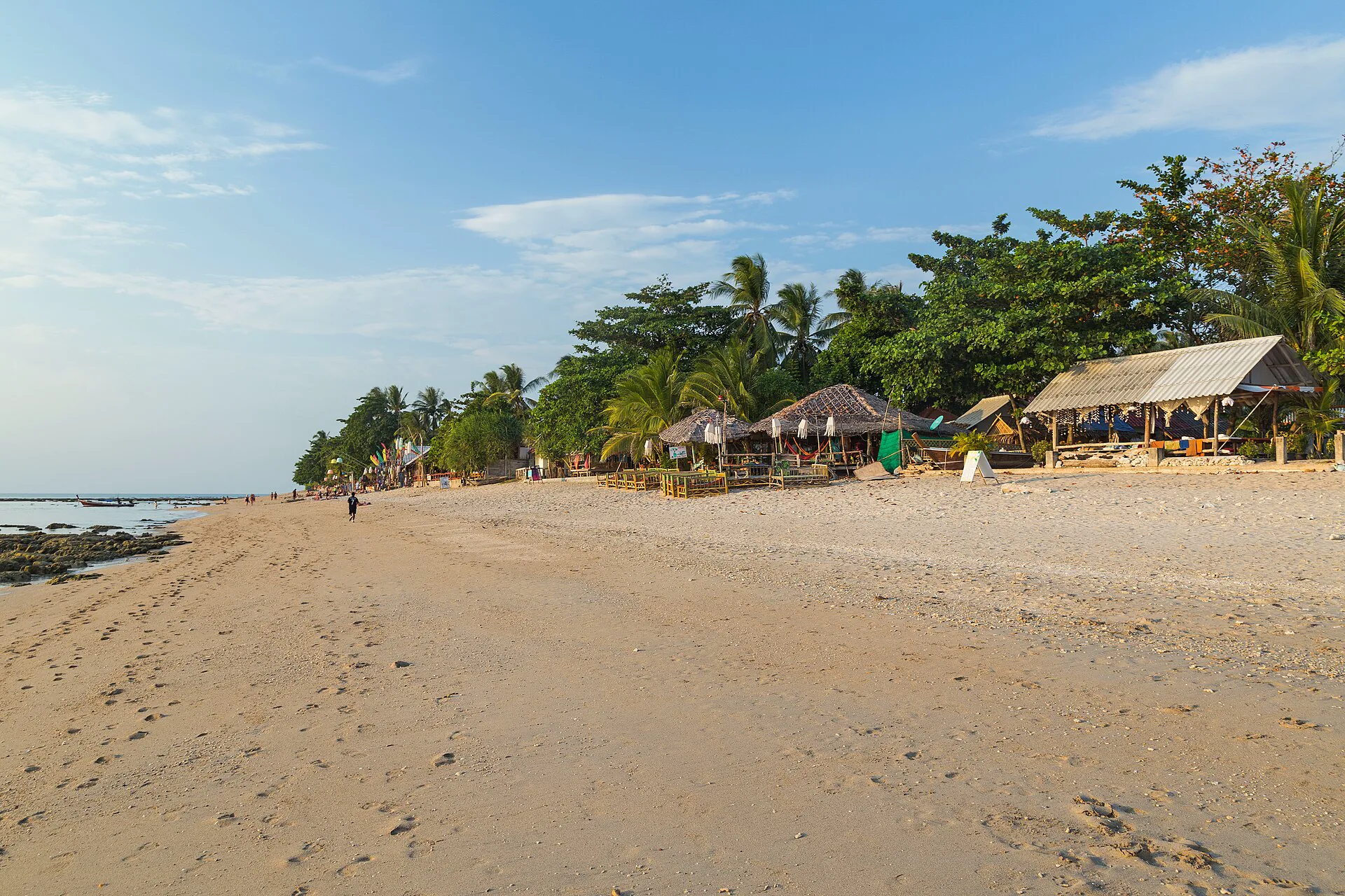
Ko Lanta
A long north–south island where the right beach depends on road time and evening rhythm.
Travel the spine →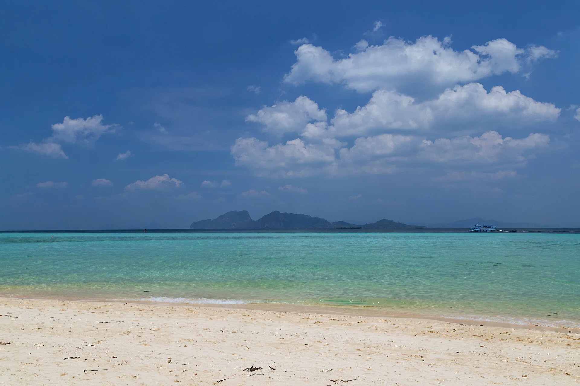
Trang Islands
Ko Muk, Ko Kradan and Ko Libong connected by mainland piers, seasonal service and different purposes.
Plot the constellation →
Ko Lipe & Tarutao
A remote Satun chain where Pak Bara, park status and the mainland buffer govern the holiday.
Turn south →
Similan & Surin
Remote marine parks planned through current openings, eligible operators and realistic sea days.
Run the park check →The sea can cancel the itinerary
The Thai Meteorological Department publishes a dedicated shipping forecast for the Andaman Sea and Malacca Strait. Read wind, wave and thunderstorm notes—not only the beach weather icon.
Three checks, in this order
- Authority: current TMD warning and shipping forecast.
- Access: national-park opening, capacity and landing rules.
- Operator: whether the exact boat and pier are running safely.
If any layer says no, change the day. This guide deliberately avoids promising fixed annual opening dates.
Four airports create different coastlines
Compare the complete arrival chain. A cheaper flight can lose its value when it lands after the last safe onward transfer.
Northern gateway
Best for Phuket, Phang Nga and many Khao Lak departures. The airport is far north of Phuket Town and the southern piers.
Karst gateway
Useful for Krabi Town, Ao Nang, Railay connections, Phi Phi and Ko Lanta. Confirm whether the transfer ends at a road or boat landing.
Quiet-island gateway
Pairs naturally with Trang town and mainland piers for Ko Muk, Ko Kradan and Ko Libong when seasonal connections align.
Satun gateway
A major land entry for Pak Bara and the Ko Lipe–Tarutao chain. Count the road transfer before the boat schedule.
Build the return before the outward ferry
Arrive before the chain
Use an airport or mainland night when a delayed flight would miss the final boat.
Keep a Plan B
Know which mainland route remains possible when an inter-island service pauses.
Move landward early
Leave the exposed island before the day a separate long-haul ticket begins.
Use a protected night
The final night belongs near the departure airport, not at the far end of a seasonal boat chain.
Treat access rules as part of the landscape
Marine parks may set closures, quotas, landing restrictions, guide conditions and fees. Verify through the Department of National Parks and follow ranger instructions on the day.
Know the operator
Use an identifiable operator, understand what fees are included and keep the pickup, pier and emergency details offline.
Nothing touched
Do not stand on coral, feed wildlife, remove sand or ignore closed zones. Reef-safe behavior matters more than the perfect photograph.
Carry back waste
Bring refillable water where allowed, refuse unnecessary disposables and never assume a small island can process the waste a visitor creates.
Islands are communities
Dress, photograph and move with consent. Ko Yao, Ko Libong and Satun are lived places with identities beyond visitor services.
One gateway, one island chapter, one buffer
Choose a northern, central or southern version. Do not combine all three; the model works because the transfer family remains coherent.
Gateway base
Use Phuket Town, Krabi/Ao Nang, Trang or the Hat Yai–Satun side. Recover and verify the live sea picture.
One island chapter
Move once to Ko Yao, Railay, Phi Phi, Lanta, a Trang island or Ko Lipe—whichever fits the gateway and forecast.
Flexible regional night
Stay longer if the return is robust, or move landward when the next day depends on transport.
Departure buffer
Sleep near the flight or long-distance connection. A calm final night is part of the coast itinerary.
Andaman planning FAQ
How many nights should I plan?
Five to eight nights supports one gateway base plus one compatible island chapter without rushing every pier. Add nights, not more islands, when weather flexibility matters.
Which airport should I use?
HKT and KBV serve many northern and central routes; TST fits Trang; HDY often fits Pak Bara and Satun. Compare the complete airport-road-pier-boat chain and the final safe departure.
What is the best month?
Broad seasonal patterns provide context, but they cannot guarantee a safe sea day or an open park. Check TMD shipping forecasts, current park notices and the exact operator near travel.
Can I fly right after an island stay?
A same-day weather-exposed boat plus a separate flight is a fragile connection. Return to the mainland or airport area the previous day, especially for long-haul or non-changeable tickets.
Official sources and photo credits
Planning facts and licenses were reviewed on 26 August 2026. Forecasts, warnings, national-park access, fees and boat operations change; verify with the linked authority and exact operator. Images were resized or converted to WebP; visible framing may crop the display.
- Thai Meteorological Department — shipping weather forecast.
- Tourism Authority of Thailand — six Andaman coast provinces.
- TAT — Phuket, Phang Nga, Krabi, Trang and Satun.
- Banana Beach, Phuket — Anton Zelenov, CC BY-SA 4.0; converted to WebP, display crop.
- Phuket Old Town — Mussi Katz, CC0 1.0; resized and converted to WebP, display crop.
- Ko Yao Noi sunrise and Railay Beach — Vyacheslav Argenberg, CC BY 4.0; resized and converted to WebP, display crop.
- Maya Bay, Phi Phi — Diego Delso, CC BY-SA 3.0; resized and converted to WebP, display crop.
- Klong Khong Beach, Ko Lanta and Ko Kradan — Marcin Konsek, CC BY-SA 4.0; resized and converted to WebP, display crop.
- Ko Lipe beach — Vyacheslav Argenberg, CC BY 4.0; resized and converted to WebP, display crop.
- Ko Similan panorama — Sgroey, CC BY 4.0; resized and converted to WebP, display crop.