Trang Islands purpose before hopping
Ko Muk, Ko Kradan and Ko Libong appear close, but they answer different holidays and connect through different mainland piers and boats. Build one bright center; treat every extra island as a transfer to prove.
Choose the island by its strongest reason
The constellation is a comparison tool. It does not promise a public route between every point.
Trang Town
Food, rail and air-side logistics. Use it as a deliberate buffer or local chapter, not only a hurried van transfer.
Ko Muk
A lived island with beach bases and access to Morakot Cave under suitable tide, weather and operator control.
Ko Kradan
Beach and clear-water focus with limited island infrastructure. Accommodation logistics and waste capacity matter.
Ko Libong
A larger community island and seagrass landscape. Wildlife observation must prioritize distance and habitat protection.
Every line needs a named pier
Airport-to-island is not one service unless one provider explicitly owns it.
Trang arrival
Record actual arrival time, baggage and a fallback night if it misses the boat window.
Mainland pier
Hat Yao, Kuan Tung Ku and other points solve different islands. Use the operator’s exact instruction.
Hotel landing
Ask about wet boarding, luggage, tide and who meets the boat on the island side.
Morakot Cave is not a default swim
The passage can involve dark water, an enclosed route and conditions governed by tide and sea. A beautiful destination does not remove swimming ability, comfort or operator responsibility.
Skip the cave when any layer fails
- The operator cannot explain tide, group control and emergency procedure.
- Weather, visibility or water conditions are unsuitable.
- A participant is not comfortable in darkness or enclosed water.
- Flotation, supervision or communication is inadequate.
A beach or land day remains a complete Trang chapter.
Observe Ko Libong wildlife from a respectful distance
Trang’s seagrass supports vulnerable dugongs and wider marine life. Use responsible local guidance, avoid chasing or crowding animals, and never demand a sighting.
Let wildlife choose
No approach should alter feeding, travel or surfacing. A distant sighting is a successful one.
Slow the boat
Use operators who respect protected zones, speed guidance and animal behavior rather than pursuing a photograph.
Protect seagrass
Do not anchor, walk or discard waste in sensitive areas; follow local conservation instruction.
No guarantee
Wildlife is not scheduled. Choose the island for community and landscape even if no animal appears.
Read TMD first
Use the Andaman shipping forecast and warnings; island weather icons are not enough.
Confirm it is operating
Some island businesses and transfers are seasonal. Verify directly before buying an inflexible flight.
Prove the next leg
A route shown on an old timetable may not run daily or at all in the current period.
Keep Trang land-side
Use a mainland night before an early TST flight or long-distance train.
One primary island, one optional satellite
Land-side arrival
Eat in town, verify the pier and let a delayed flight or train end safely.
Primary island
Choose Muk, Kradan or Libong by purpose and let two full days absorb weather and island rhythm.
Stay or one satellite
Move only when the exact boat is operating and the new island adds a genuinely different chapter.
Return before the ticket
Sleep in Trang or another land-side base before an important onward connection.
Trang islands FAQ
Which island should I choose?
Ko Muk for village life plus cave access, Ko Kradan for beach focus, or Ko Libong for community and seagrass landscape. Choose one primary purpose.
Can I visit all three?
Possibly when live services align, but every move costs a packing and boat day. One island plus a mainland buffer is often stronger.
Is Morakot Cave easy?
Not for everyone. Darkness, water, enclosed space, tide and group control matter. Use a competent operator and opt out without pressure.
How do I arrive?
Trang Airport or railway station connects by road to a specific mainland pier, then boat. Confirm each leg and avoid landing after the final safe service.
Island spine, far-south compass or overview?
Official sources and photo credit
Reviewed 26 August 2026. Piers, cave access, accommodation, forecasts and boat operations change. Image was resized and converted to WebP; visible framing may crop the display.
- Tourism Authority of Thailand — Trang.
- Thai Meteorological Department — shipping forecast.
- Department of National Parks — park information and booking portal.
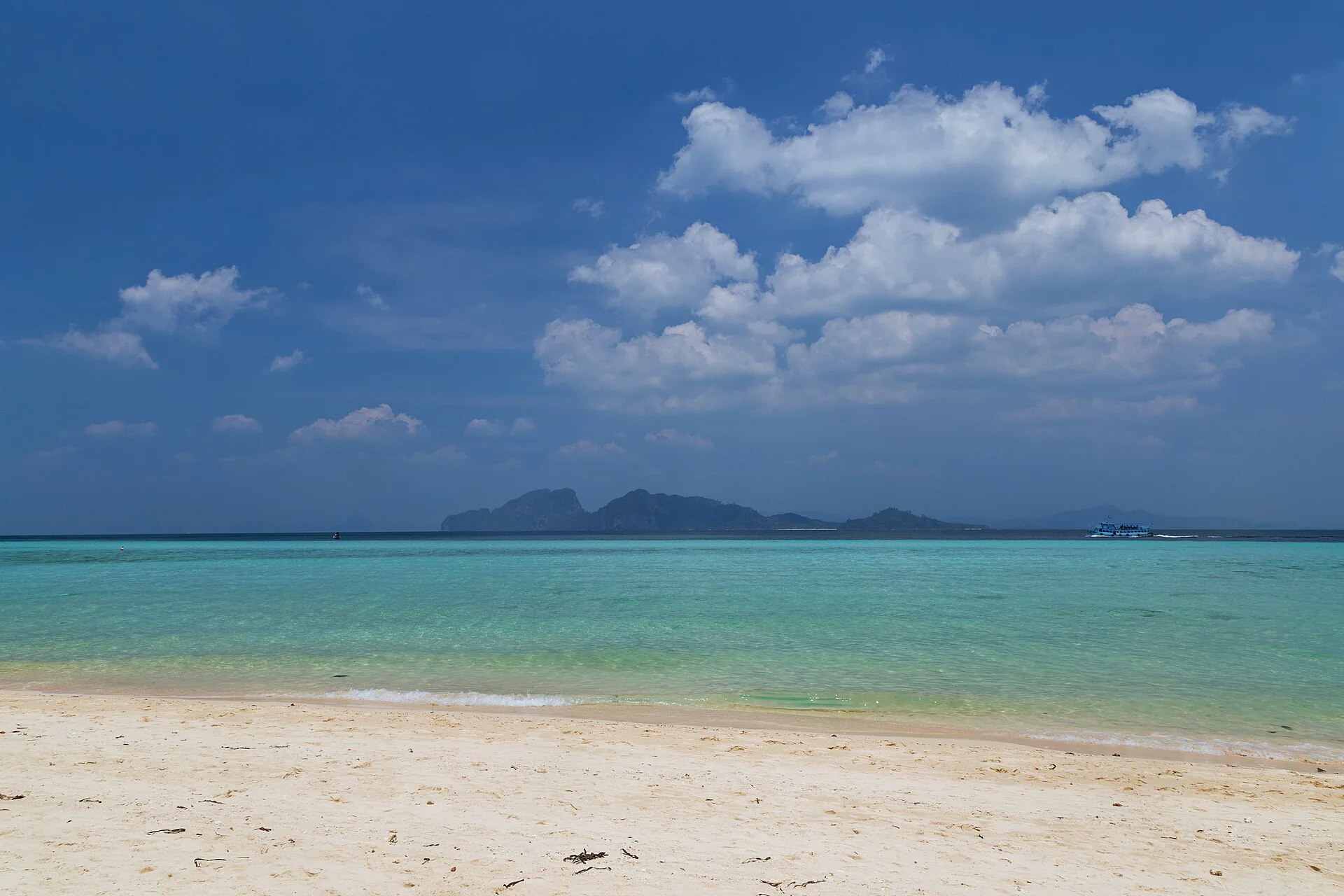
- Ko Kradan — Marcin Konsek, CC BY-SA 4.0; resized and converted to WebP, display crop.