Bach Ma National Park Rainforest above the coast.
Plan Bach Ma as a managed mountain-forest day or overnight, choosing one official trail family instead of overloading a wet highland route.
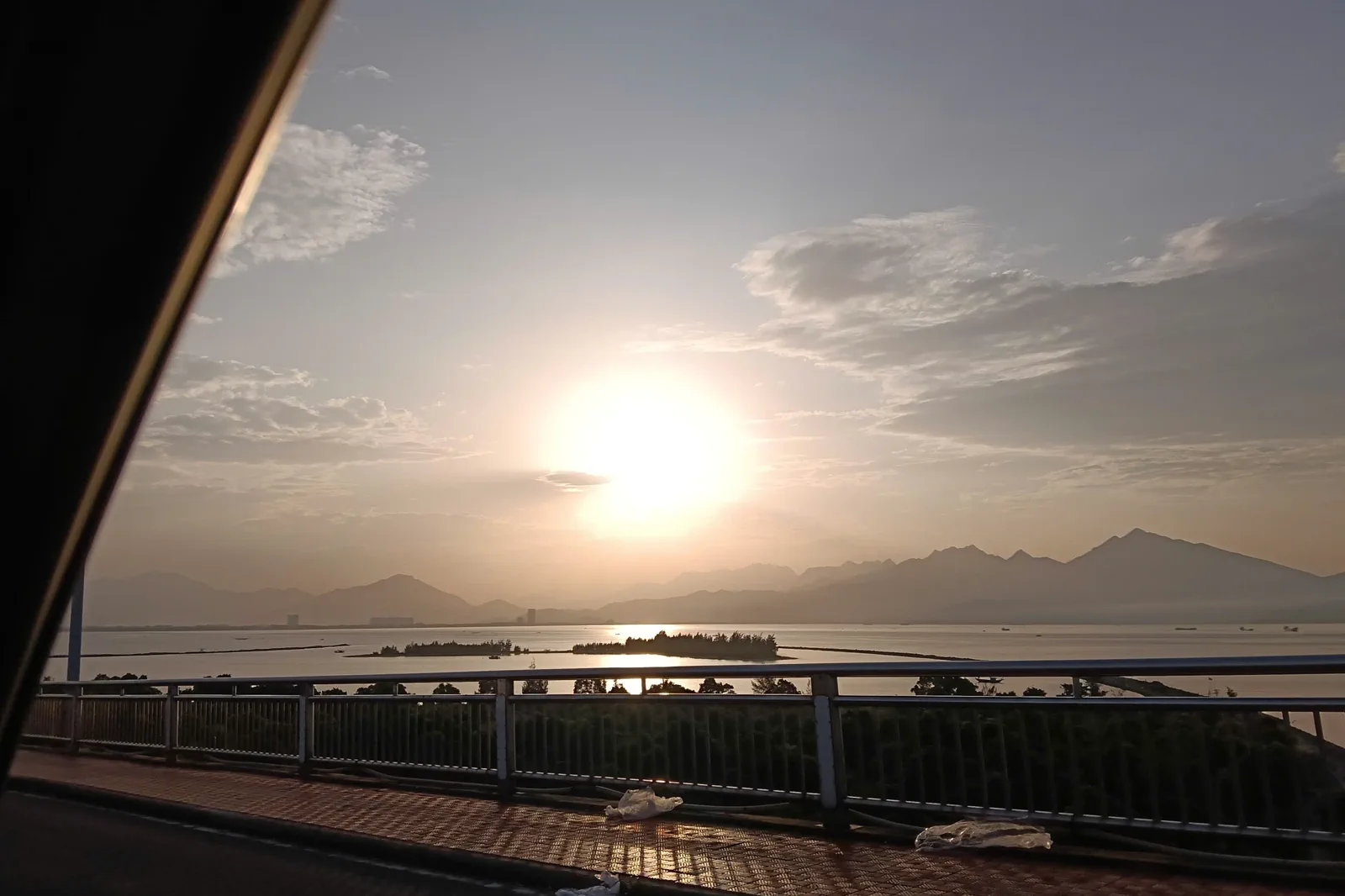
Use a confirmed vehicle and, when required, park registration, guide or approved transfer. Expect the final approach to be slower than the city-to-gate map suggests.
Register and check the day’s permitted zones, move from the lower forest into the chosen trail, stop before fatigue or weather becomes a hazard, and return with daylight margin.
Protect the park boundary: stay on marked trails, do not feed wildlife, collect plants, enter closed forest or light fires outside designated areas.
Keep the local logic visible.
Bach Ma changes the Hue story from dynastic geometry to biodiversity, elevation and rain. Its trails, waterfalls and viewpoints deserve the same respect as a heritage site, with more attention to weather and rescue distance.
Let sequence do the editing.
Register and check the day’s permitted zones, move from the lower forest into the chosen trail, stop before fatigue or weather becomes a hazard, and return with daylight margin.
Read the forecast
Check rain, cloud, road and park notices before leaving Hue; select a route whose return can remain safe if visibility deteriorates.
Register the route
Confirm entry, guide, shuttle and trail requirements with the park, then share the intended route and return time with the driver or travel companion.
Move by contour
Take measured breaks on the ascent, keep to the trail and observe forest, stream and elevation changes without approaching wildlife.
Exit before dark
Turn around with weather and daylight margin, leave no trace, and keep the road journey back separate from an ambitious late-night connection.
Three weak points to solve.
Conditions change faster than an editorial page. Verify the named official source, actual operator and local weather close to travel.
Rain and landslide
Bach Ma receives heavy rain and mountain weather can shift quickly; trails, streams and roads may close or become unsafe.
Remote response
Signal, transport and emergency response are limited compared with Hue; carry essentials and do not split from the group.
Protected habitat
Rare species and recovering forest require distance, silence and no collection, feeding, baiting or off-trail shortcuts.
Protect the park boundary: stay on marked trails, do not feed wildlife, collect plants, enter closed forest or light fires outside designated areas.
Bach Ma National Park FAQ
How much time should Bach Ma National Park receive?
Use a full day for a focused route and an overnight only with confirmed park accommodation, guide and weather margin.
Can I combine Bach Ma National Park with another major chapter?
Combine with Lang Co only as a separate transfer day when the park and road conditions are stable; do not add the Citadel or tombs after a long trek.
What should I verify before leaving?
Recheck the official park or national conservation notice, trail status, guide or permit requirement, road weather and the return vehicle before setting out.
Choose the next chapter by purpose.
Return to the hub before joining distant branches into one day.
Official sources and photo credits
Planning facts and image licenses were reviewed on 31 August 2026. Schedules, access, tickets, weather and operator terms change; verify directly before travel.
- UNESCO — Complex of Hué Monuments.
- Hue Monuments Conservation Centre — official e-ticket portal.
- Vietnam Tourism — Hue transport, weather and official destination overview.
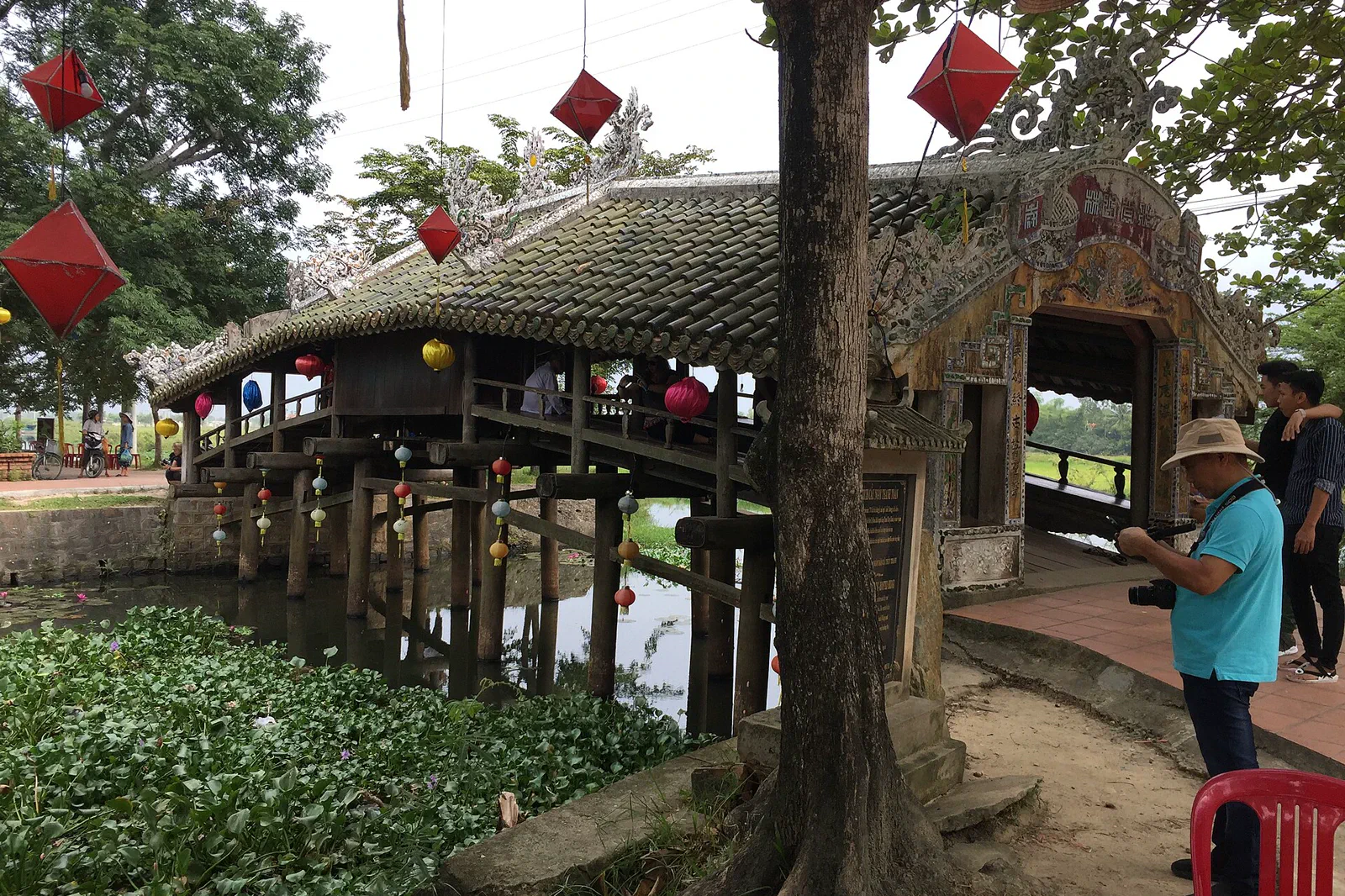
- Hue City Portal — Thanh Toan tile-roofed bridge.
- National Biodiversity Conservation — Bach Ma National Park.
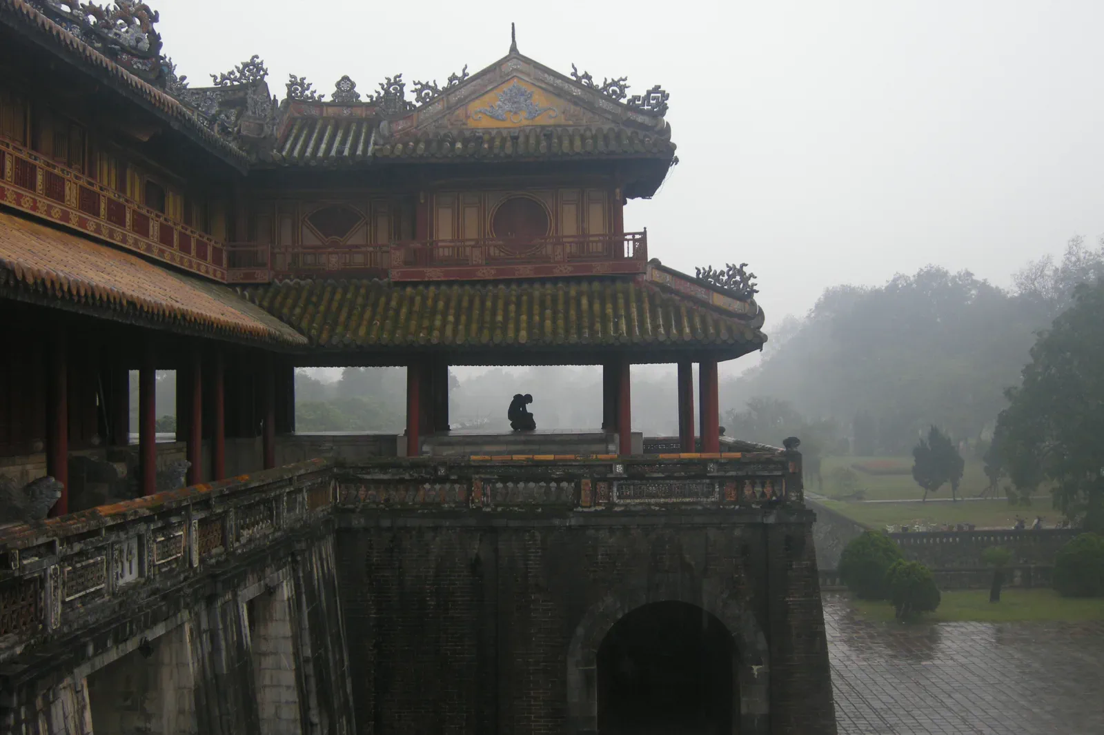
- Meridian Gate, Hue Imperial City — Vyacheslav Argenberg, CC BY 4.0. Resized, display-cropped and converted to WebP; no other material edits.
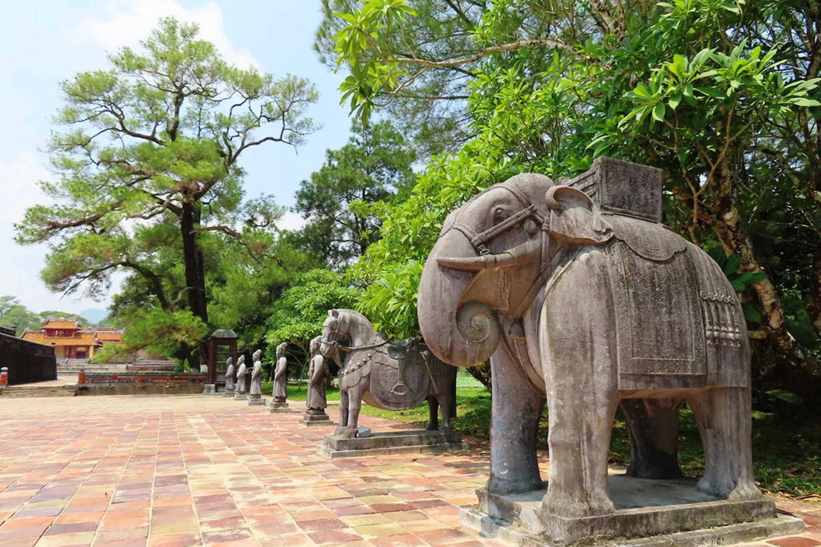
- Minh Mang Royal Tomb — Pham Van Hoa, CC BY-SA 4.0. Resized, display-cropped and converted to WebP; no other material edits.
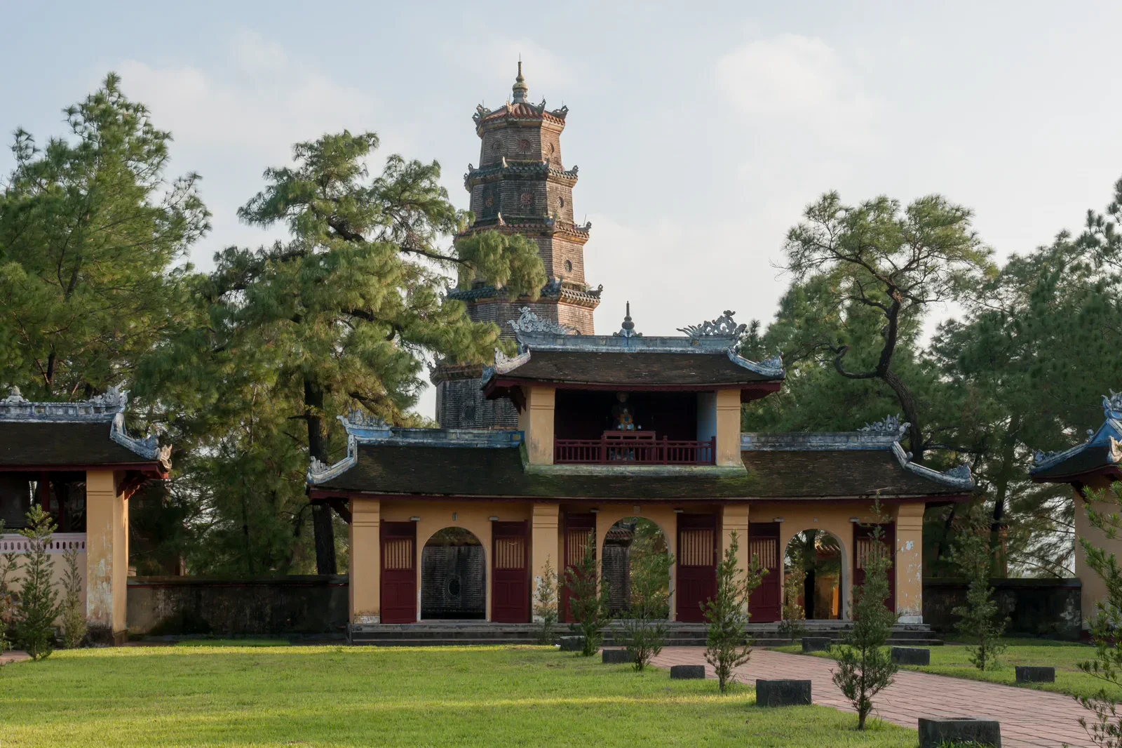
- Thien Mu Temple and Pagoda — CEphoto, Uwe Aranas, CC BY-SA 3.0. Resized, display-cropped and converted to WebP; no other material edits.
- Thanh Toan Tiled Bridge — Exvil-lachwien, CC BY-SA 4.0. Resized, display-cropped and converted to WebP; no other material edits.
- Bach Ma mountain range — Lê Đăng Khôi, CC0. Resized, display-cropped and converted to WebP; no other material edits.
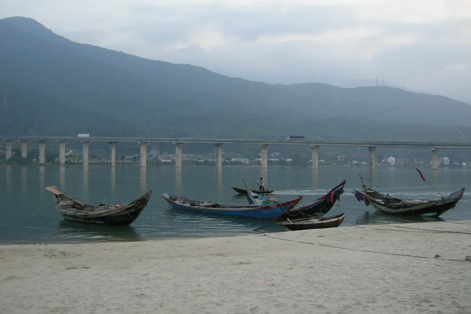
- Lang Co and Lap An Lagoon — Vyacheslav Argenberg, CC BY 4.0. Resized, display-cropped and converted to WebP; no other material edits.