Thanh Toan Rural & Canal Loop The working village edge.
Cycle or ride through rice fields, irrigation lanes and Thanh Toan’s tiled bridge to meet the agricultural rhythm just beyond Hue.
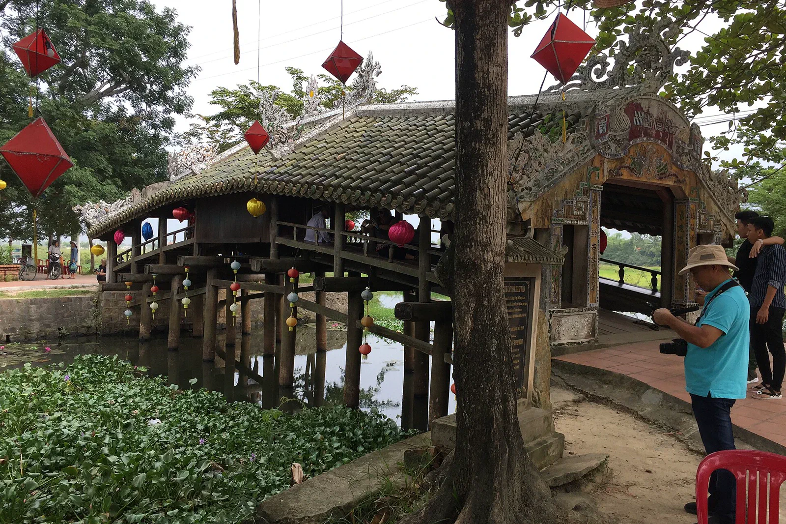
A bicycle, local driver or careful motorbike route works better than a large vehicle on narrow lanes. Confirm the return route and road surface after rain.
Leave the city on the quietest safe road, cross the village landscape, pause at the bridge and agricultural interpretation, then return by a different public lane only if conditions allow.
Protect the community boundary: ask before photographing residents, homes, shrines or private fields, and never block the bridge or market circulation.
Keep the local logic visible.
Thanh Toan is valuable because the bridge sits inside a working community rather than a sealed museum. The route should leave room for farmers, market sellers, worshippers and ordinary traffic.
Let sequence do the editing.
Leave the city on the quietest safe road, cross the village landscape, pause at the bridge and agricultural interpretation, then return by a different public lane only if conditions allow.
Check the wheels
Choose a safe bicycle or driver, carry water and a rain layer, and confirm a route that stays on public roads rather than farm tracks.
Read the canal
Watch how paths, irrigation, gardens and village traffic fit together; slow down at blind corners and give local vehicles priority.
Meet the bridge
Visit the tiled bridge and nearby displays as heritage and community places, leaving room for worship and daily movement.
Return lightly
Buy locally where appropriate, take all waste back with you and use the safest available road rather than forcing a scenic shortcut.
Three weak points to solve.
Conditions change faster than an editorial page. Verify the named official source, actual operator and local weather close to travel.
Narrow-road traffic
Lanes can carry motorcycles, farm vehicles and pedestrians without shoulders; use a helmet and avoid riding beyond your confidence.
Rain and mud
Heavy rain can make canalside edges and bridge approaches slippery or flooded; keep a turn-back point visible.
Community privacy
A working village is not an open studio; seek consent and do not enter yards, fields, houses or shrines without permission.
Protect the community boundary: ask before photographing residents, homes, shrines or private fields, and never block the bridge or market circulation.
Thanh Toan Rural & Canal Loop FAQ
How much time should Thanh Toan Rural & Canal Loop receive?
Plan a half day at an unhurried pace; longer loops should be built around daylight and road confidence, not a fixed mileage target.
Can I combine Thanh Toan Rural & Canal Loop with another major chapter?
Pair with a relaxed central-city food stop or riverfront evening; do not bolt it onto three tombs simply because both routes leave Hue.
What should I verify before leaving?
Check local tourism notices, bridge or market access, rain conditions and the selected bicycle or driver arrangement on the day.
Choose the next chapter by purpose.
Return to the hub before joining distant branches into one day.
Official sources and photo credits
Planning facts and image licenses were reviewed on 31 August 2026. Schedules, access, tickets, weather and operator terms change; verify directly before travel.
- UNESCO — Complex of Hué Monuments.
- Hue Monuments Conservation Centre — official e-ticket portal.
- Vietnam Tourism — Hue transport, weather and official destination overview.
- Hue City Portal — Thanh Toan tile-roofed bridge.
- National Biodiversity Conservation — Bach Ma National Park.
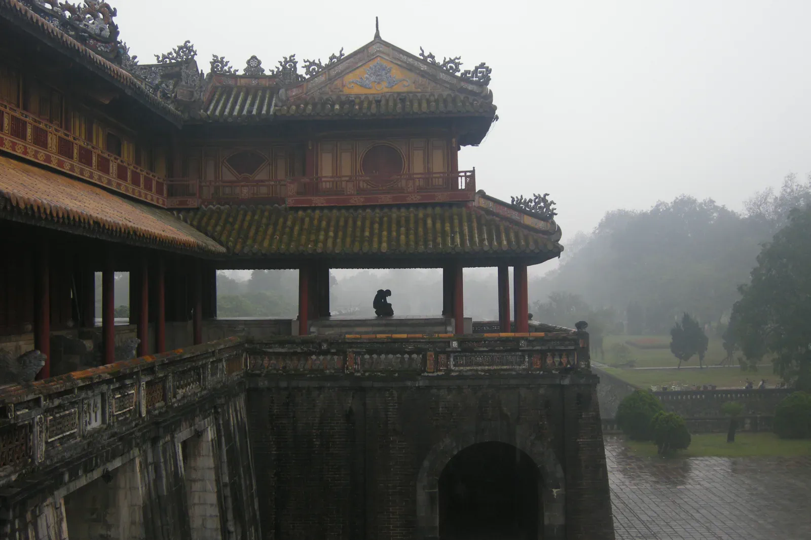
- Meridian Gate, Hue Imperial City — Vyacheslav Argenberg, CC BY 4.0. Resized, display-cropped and converted to WebP; no other material edits.
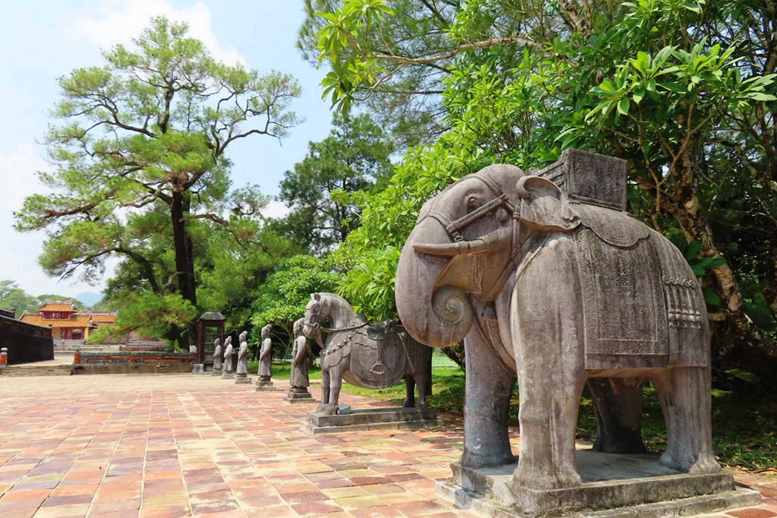
- Minh Mang Royal Tomb — Pham Van Hoa, CC BY-SA 4.0. Resized, display-cropped and converted to WebP; no other material edits.
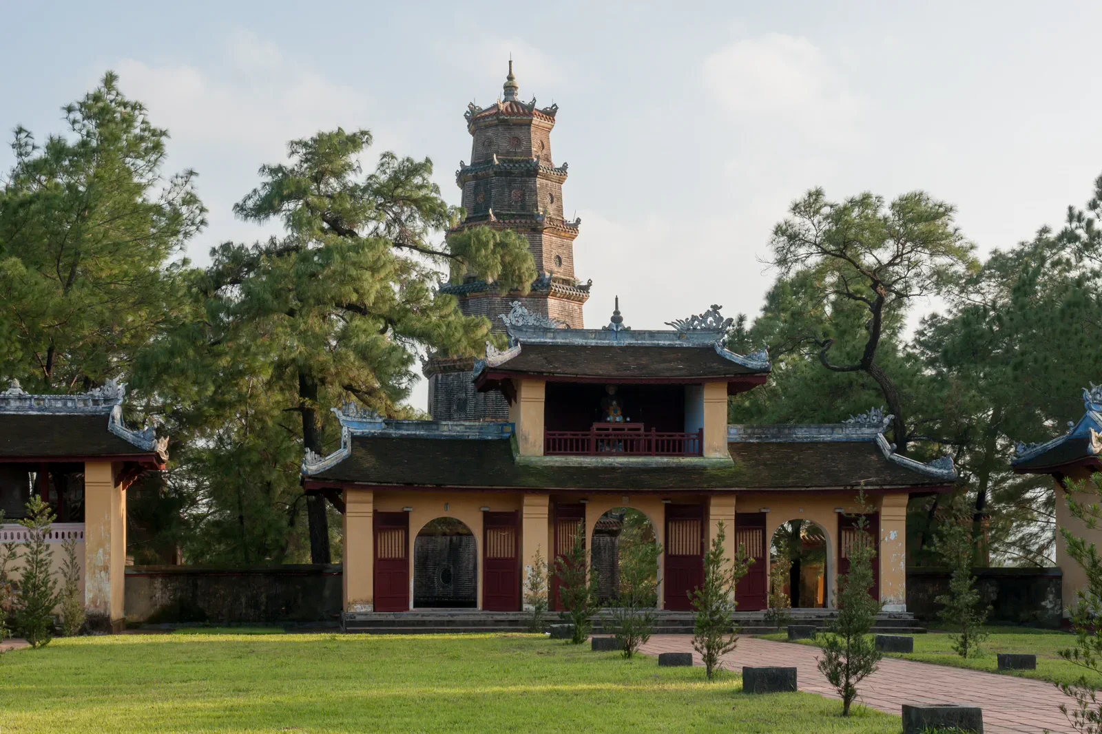
- Thien Mu Temple and Pagoda — CEphoto, Uwe Aranas, CC BY-SA 3.0. Resized, display-cropped and converted to WebP; no other material edits.
- Thanh Toan Tiled Bridge — Exvil-lachwien, CC BY-SA 4.0. Resized, display-cropped and converted to WebP; no other material edits.
- Bach Ma mountain range — Lê Đăng Khôi, CC0. Resized, display-cropped and converted to WebP; no other material edits.
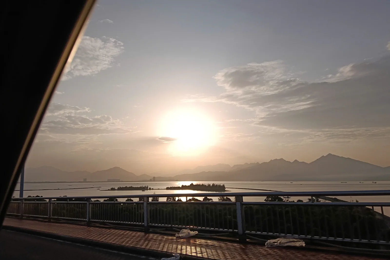
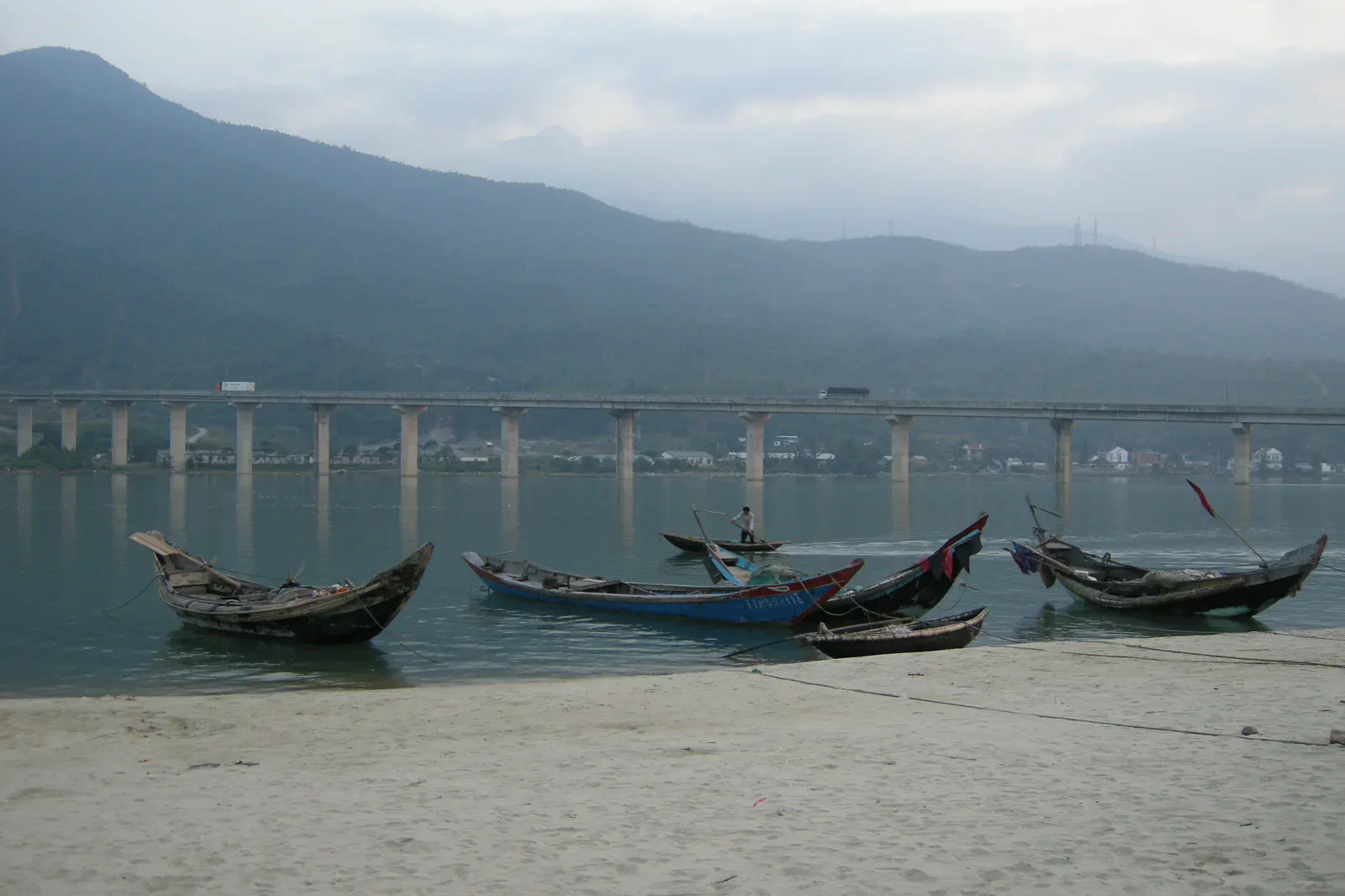
- Lang Co and Lap An Lagoon — Vyacheslav Argenberg, CC BY 4.0. Resized, display-cropped and converted to WebP; no other material edits.