Ta Cu Mountain & Ke Ga Coast forest-to-lighthouse rise.
A mainland-to-coast chapter that separates Ta Cu’s forested religious ascent from the tide-dependent Kê Gà lighthouse landing.
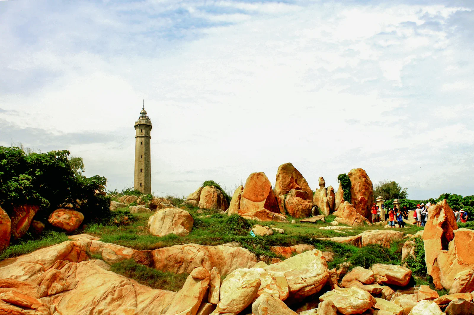
Confirm the current Ta Cu entrance and cable-car or trail options, then ask the Kê Gà operator about tide, landing and lighthouse access before committing.
Forest elevation, a deliberate recovery, coastal approach and a tide-aware return keep the geography legible.
Never turn a closed trail, lighthouse or rocky landing into a challenge; a changed viewpoint is better than an avoidable rescue.
Keep the local logic visible.
Ta Cu and Kê Gà share a southern Binh Thuan direction but not the same physical problem. One asks for walking or a managed mountain ascent; the other depends on rocky shore, boat access and sea state.
Let sequence do the editing.
Forest elevation, a deliberate recovery, coastal approach and a tide-aware return keep the geography legible.
Climb
Use the official mountain access and match the route to fitness, heat and footwear.
Reset
Recover in shade before driving toward the exposed Kê Gà coast.
Land
Board only through a current authorized arrangement and follow the landing crew.
Return
Leave the rocks and road with enough daylight, tide and sea margin for the mainland journey.
Three weak points to solve.
Conditions change faster than an editorial page. Verify the named official source, actual operator and local weather close to travel.
Steep footing
Forest steps, wet rock and heat can exceed the apparent distance.
Tide and surf
Kê Gà access is a marine decision, not a guaranteed walk across the water.
Closure drift
Cable cars, trails and lighthouse interiors may be unavailable during works or weather.
Never turn a closed trail, lighthouse or rocky landing into a challenge; a changed viewpoint is better than an avoidable rescue.
Ta Cu Mountain & Ke Ga Coast FAQ
How much time should Ta Cu Mountain & Ke Ga Coast receive?
Plan a full mainland day and keep an additional buffer if the lighthouse landing is important.
Can I combine Ta Cu Mountain & Ke Ga Coast with another major chapter?
A Phan Thiet heritage stop can replace the lighthouse when the sea is unsuitable; do not stack every coastal chapter.
What should I verify before leaving?
Check Ta Cu operations, trail status, Kê Gà landing rules, tide, sea forecast and return transport.
Choose the next chapter by purpose.
Return to the hub before joining distant branches into one day.
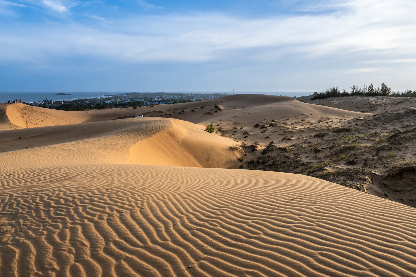 zineMui Ne Red Sand Dunes at Golden Hourwarm sand clock
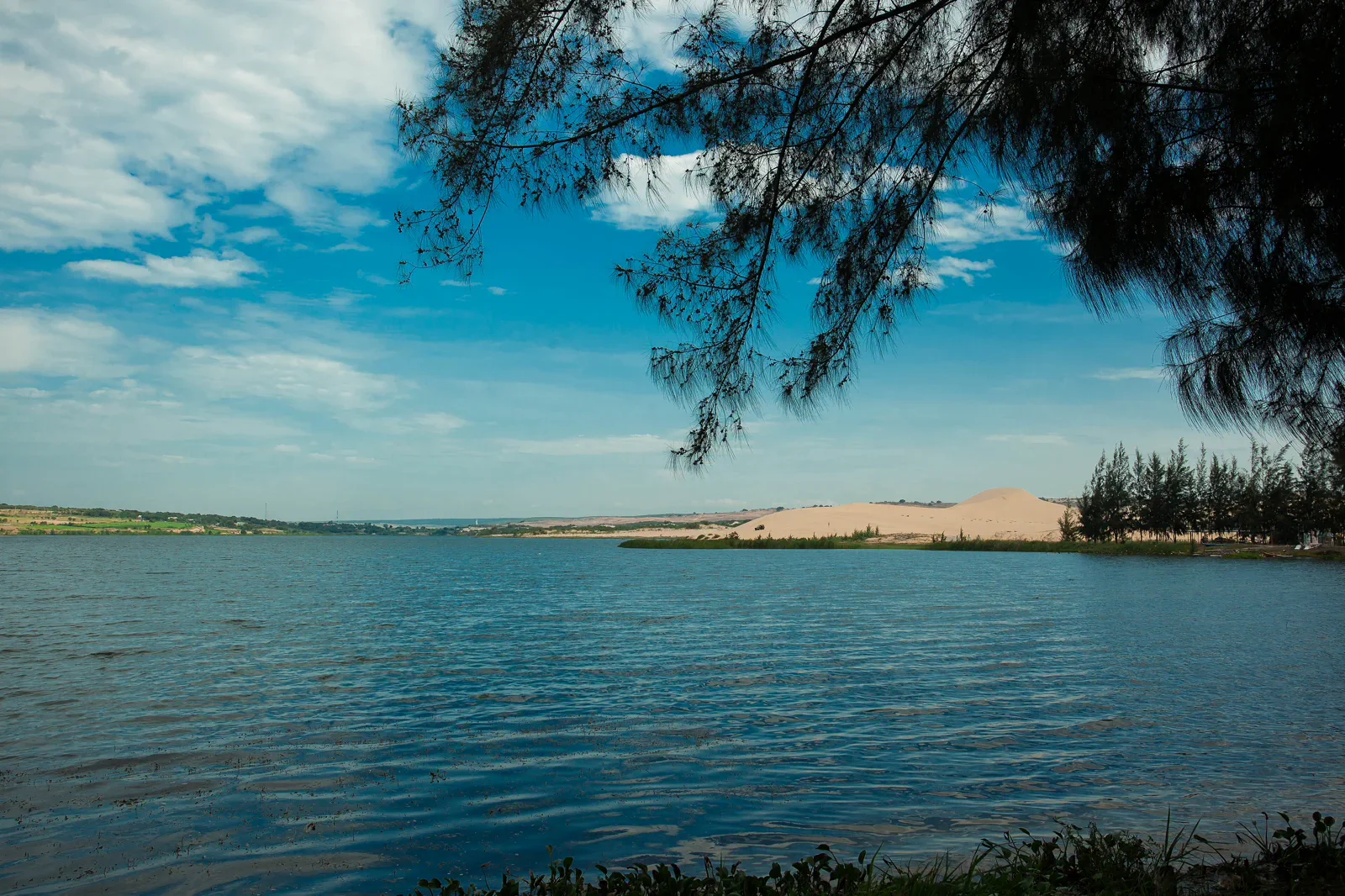 axisBau Trang White Dunes & Lotus Lakelake-between-sand
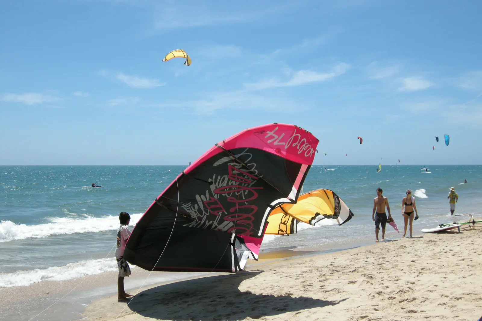 tideMui Ne Kiteboarding Coastwind-window board
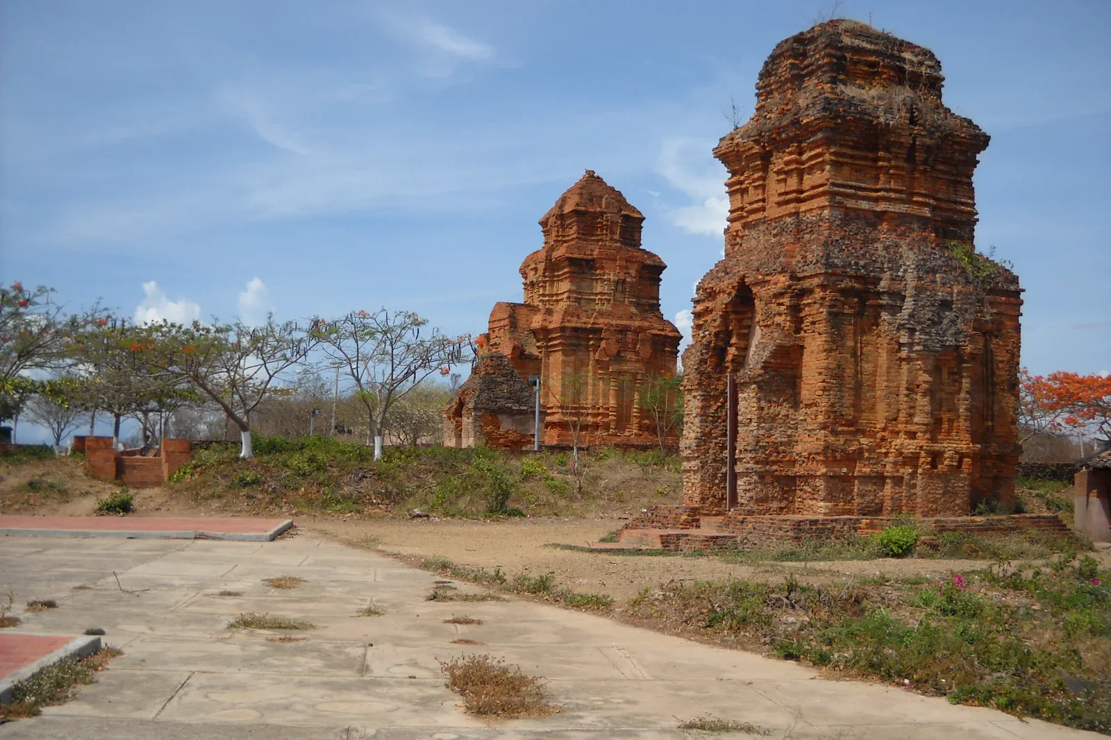 docketPhan Thiet Fishing Coast & Po Sah Inu Heritageharbour-to-tower seam
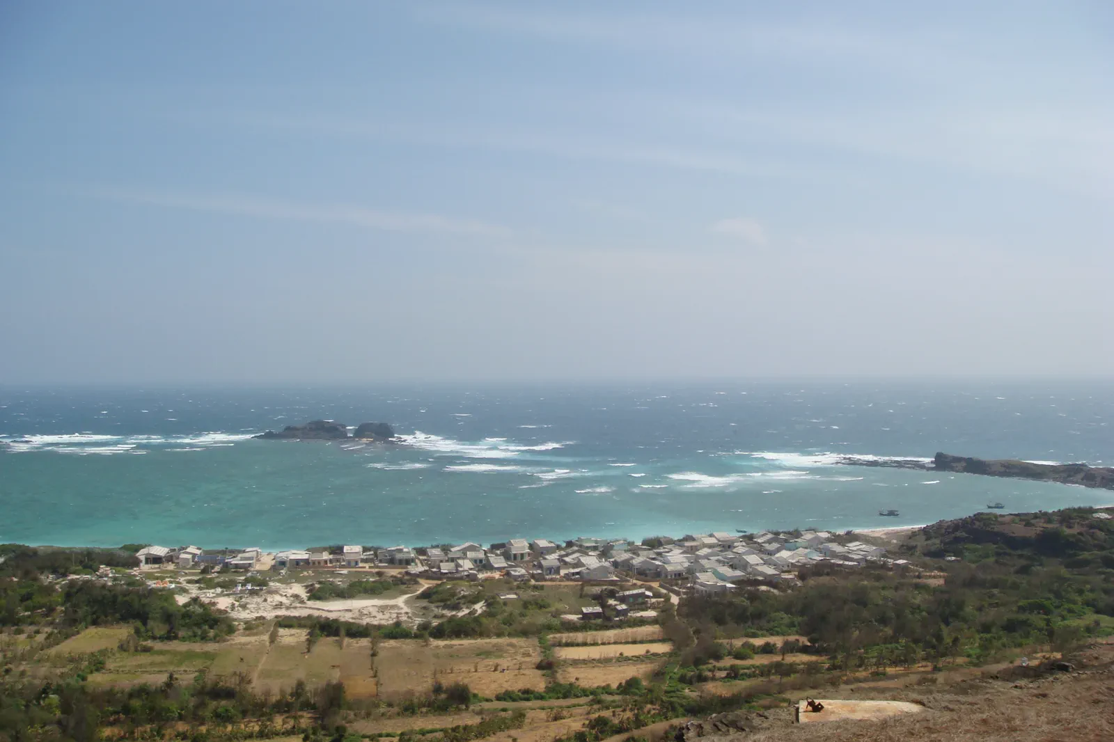 expeditionPhu Quy Island: A Remote Island Rhythmisland departure file
Official sources and photo credits
Planning facts and image licenses were reviewed on 31 August 2026. Schedules, access, tickets, weather and operator terms change; verify directly before travel.
- Vietnam Tourism — Binh Thuan.
- Vietnam Tourism — Mui Ne: Sand Dunes and Water Sports.
- Binh Thuan government — Mui Ne National Tourism Area plan.
- Phu Quy Special Zone government — Tourism.
- Mui Ne sand dunes — Monster4711, CC BY-SA 3.0. Resized, display-cropped and converted to WebP; no other material edits.
- Bau Trang — Hưng Hồ Bá, CC BY 2.0. Resized, display-cropped and converted to WebP; no other material edits.
- Kites on the beach at Mui Ne — Vyacheslav Argenberg, CC BY 4.0. Resized, display-cropped and converted to WebP; no other material edits.
- Po Sah Inu Cham Towers — Dongson*vmvn at Vietnamese Wikipedia, CC BY-SA 3.0. Resized, display-cropped and converted to WebP; no other material edits.
- Ke Ga Lighthouse — Bùi Thụy Đào Nguyên, CC BY-SA 4.0. Resized, display-cropped and converted to WebP; no other material edits.
- Linh Son Pagoda on Phu Quy — Thái Nhi, Public domain. Resized, display-cropped and converted to WebP; no other material edits.