kunanyi / Mount Wellington city-to-alpine weather gate.
A Hobart-to-kunanyi route that chooses between the exposed summit, The Springs and a lower city-side walk only after checking the live Pinnacle Road status and alpine forecast.
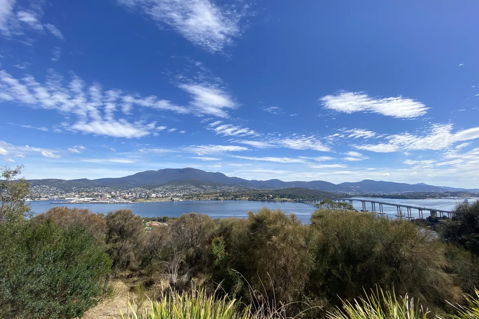
Best when the road is confirmed open to the summit and wind, visibility, temperature and return fit the group. Driving gives control over the stop but makes the driver responsible for ice, parking and a safe descent; the bus removes the summit driving decision but depends on the operator’s actual departure and operating status.
Choose this lower endpoint when the City confirms only a staged opening to The Springs or the summit is unsuitable. It is not a guarantee that every track is open. Confirm the chosen track and a return ride first; if the track is closed or the bus cannot return, stay in town.
A city museum, waterfront or booked local activity is the robust fallback for a closed mountain day. A foothill walk can replace the summit only when its own access is verified and does not cross the road gate or a closed track. Keep this as an independent plan, not an unverified detour.
Let the road gate choose the height of the day.
Keep a central Hobart bed for this outing: it gives the route a known city start and a return that does not depend on finding high-country lodging. Decide among three different products. The summit is a short visit only when Pinnacle Road is open to the top and the wind, cloud and temperature suit the group. The Springs is a lower mountain stop, not proof that the summit or an onward track is open. A foothill walk can be a complete alternative when the upper road closes, but only use a named track whose own current status and return are confirmed. Do not describe the whole mountain as “open” from a city forecast or a map pin.
A route with an exit built in.
Start from a Hobart bed
Keep luggage and the overnight base in the city. Check the current road gate, summit webcam, mountain forecast and official alerts. A clear view from the waterfront does not prove that the summit road or bus is operating.
Choose one upper access
For an open summit, use a confirmed car or booked Explorer Bus. For a staged road opening, stop at the confirmed open endpoint such as The Springs. Check the operator’s return and do not board without a reliable way back.
Walk only the open segment
Select a short summit or lower track that is listed open and fits the group’s clothing, mobility, daylight and experience. If cloud, gusts, ice or fatigue worsen, turn back on the same formed route; a viewpoint is optional, safe return is not.
Return before conditions change
Take the confirmed bus or drive down while visibility and road conditions remain safe. If upper access disappears, use the Hobart plan. Do not push on toward a gate or use an unverified road to recover a missed summit.
Three reasons to change the plan.
Road status changes by altitude
Pinnacle Road can close for unsafe conditions or congestion and may reopen in stages. A gate below the summit means the summit is not an option; a 4WD or chains do not authorize entry.
Summit weather differs from Hobart
Wind, low cloud, snow and ice can arrive while the city remains mild. Carry warm and waterproof layers, check the mountain forecast and cancel the exposed walk when visibility or footing deteriorates.
Return is a separate booking decision
A bus seat, tour departure or private-car descent must be confirmed for the actual day. If the operator cancels or road closes, use the city base; do not walk the public road during snow clearing or force an alternate access.
Access is never implied by proximity.
Follow the responsible land manager’s directions, stay on formed tracks and use only public access. A road closure, track closure, weather warning or cultural restriction is a hard boundary. There is no safe workaround through a service road, private land or a different gate unless the responsible authority explicitly confirms it.
Four related field chapters.
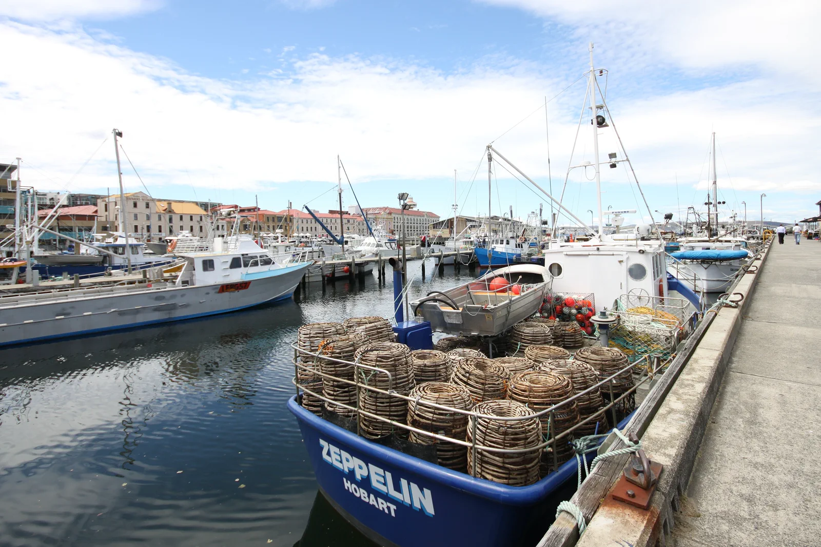
nipaluna / Hobart & Salamanca
Build a Hobart day from one indoor collection, the working waterfront and Salamanca Place.
Open the field guide →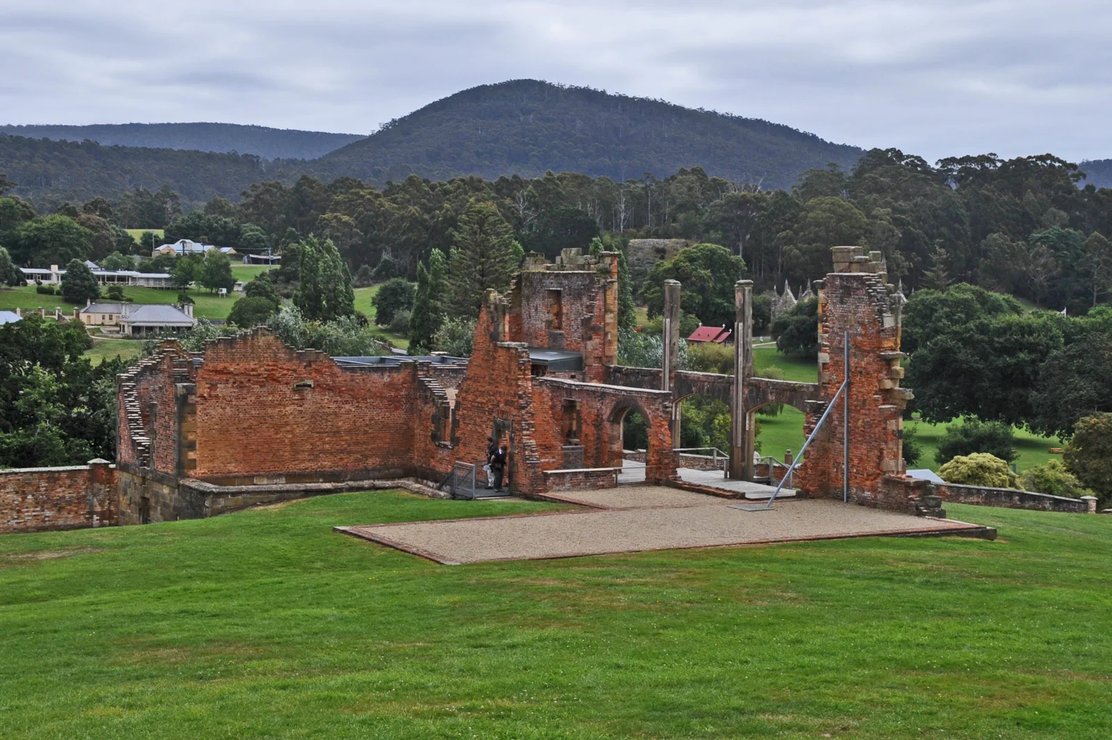
Port Arthur & Tasman Peninsula
A Hobart-to-Port Arthur route that gives the historic site a full visit, then adds at most one confirmed…
Open the field guide →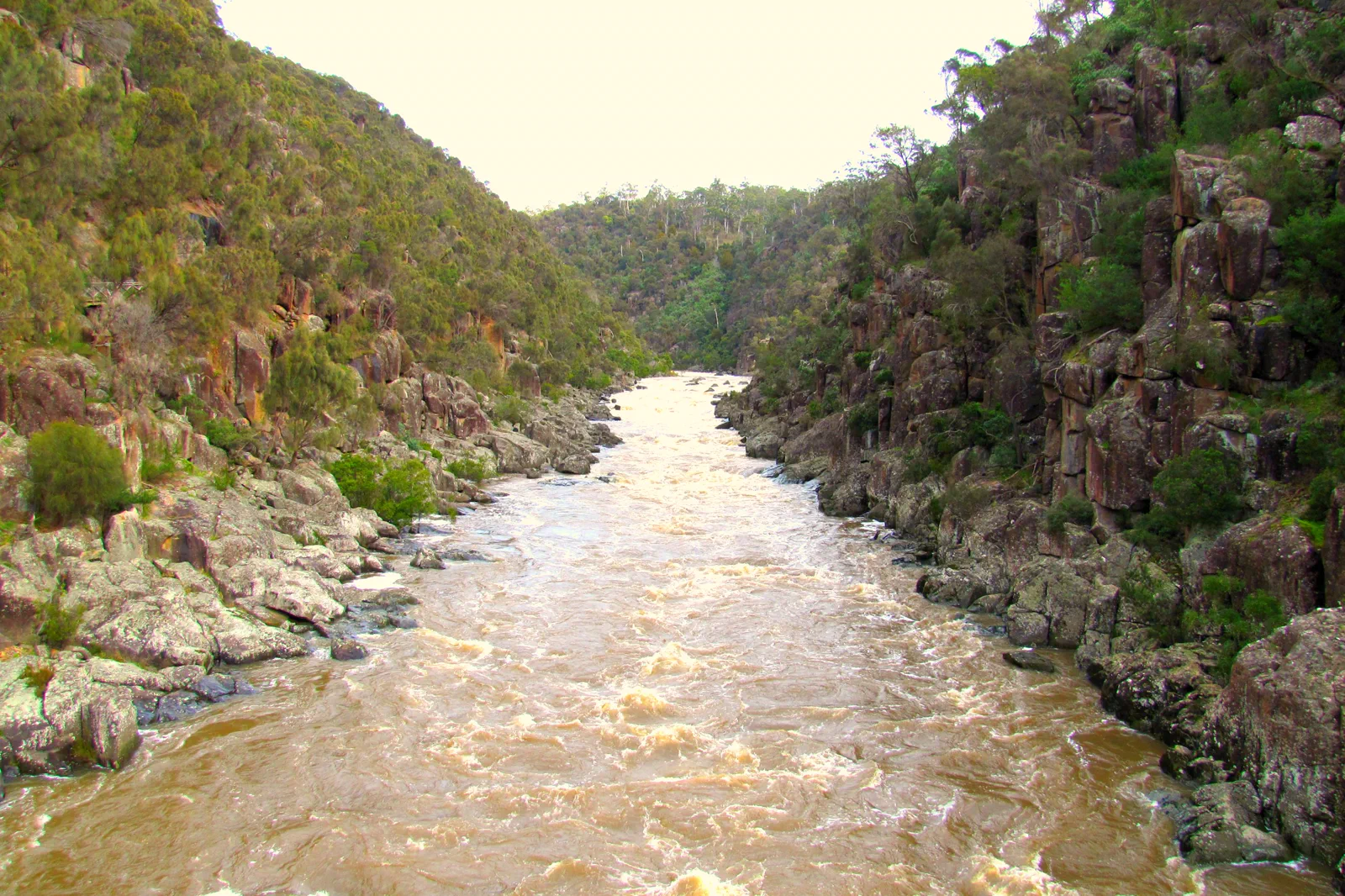
Launceston & Tamar Valley
A Launceston base route linking the Cataract Gorge and central city with one confirmed Tamar Valley excursion,…
Open the field guide →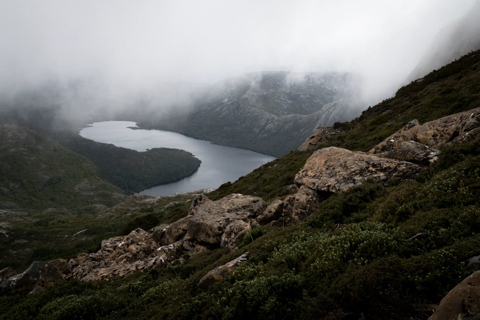
Cradle Mountain & Freycinet
A multi-night route comparison for Cradle Mountain and Freycinet, with separate gateway beds, a timed Cradle…
Open the field guide →kunanyi / Mount Wellington FAQ
Can I rely on the kunanyi Explorer Bus if Pinnacle Road is closed?
Not without checking the day’s operator notice and return. The City of Hobart says the bus may operate during a road closure if conditions allow. Confirm the service, boarding location, summit or lower endpoint and return before leaving your Hobart base. A road closure is not an invitation to walk past a barrier.
Should I drive to the summit or use the bus?
Drive only when the road is open and the driver is comfortable with a narrow alpine road, changing visibility and legal parking. A booked bus avoids that driving task but has its own operating and return constraints. If neither option is confirmed, choose the Hobart fallback.
What does a staged opening to The Springs mean?
It means the confirmed open road may end below the summit while crews continue checking or clearing higher sections. The Springs can be your endpoint; it does not authorize continuing on a closed road or entering a track whose status is unknown.
What is the weather alternative?
Keep a central Hobart museum or waterfront plan ready. Use a lower foothill track only after checking its own status, route and transport. Do not substitute an exposed road walk during snow clearing or treat a city forecast as the summit forecast.
How much time should I allow?
Protect half a day for a summit visit and its transfers, with the rest of the day left flexible. A bus timetable, weather window or road closure can change the usable time. Add a night rather than stacking the mountain with another distant attraction.
Official sources and photo credits
Planning facts and image licenses were reviewed on 13 October 2026. Access, weather, transport, fire, marine and operator conditions change; verify directly before travel.
- City of Hobart — Pinnacle Road closures, staged openings and Explorer Bus conditions.
- kunanyi / Mt Wellington Explorer Bus — dated departures and return conditions.
- Wellington Park Management Trust — park access, tracks and safety.
- Bureau of Meteorology — Hobart forecast and warnings; compare mountain conditions.
- Tasmanian Aboriginal Centre — palawa community-led cultural information.
- Hobart waterfront Nov 2011 - 2.jpg — Tony 1212, CC BY 4.0. Resized, display-cropped and converted to WebP; no other material edits.
- Hobart, kunanyi, the river and Tasman Bridge from the Rosny Lookout.jpg — jacobharrisau, CC BY-SA 2.0. Resized, display-cropped and converted to WebP; no other material edits.
- THE HOSPITAL PORT ARTHUR HISTORIC SITE.jpg — JERRYE & ROY KLOTZ MD, CC BY-SA 3.0. Resized, display-cropped and converted to WebP; no other material edits.
- Launceston Cataract Gorge & First Basin, Tasmania.jpg — Feral Arts, CC BY 2.0. Resized, display-cropped and converted to WebP; no other material edits.
- Dove Lake view in a foggy day. Cradle Mountain Lake-St Clair National Park, Tasmania.jpg — Andrea.Messina93, CC BY-SA 4.0. Resized, display-cropped and converted to WebP; no other material edits.