Launceston & Tamar Valley gorge-to-estuary route.
A Launceston base route linking the Cataract Gorge and central city with one confirmed Tamar Valley excursion, while the current wetland path works and rural last mile shape the day.
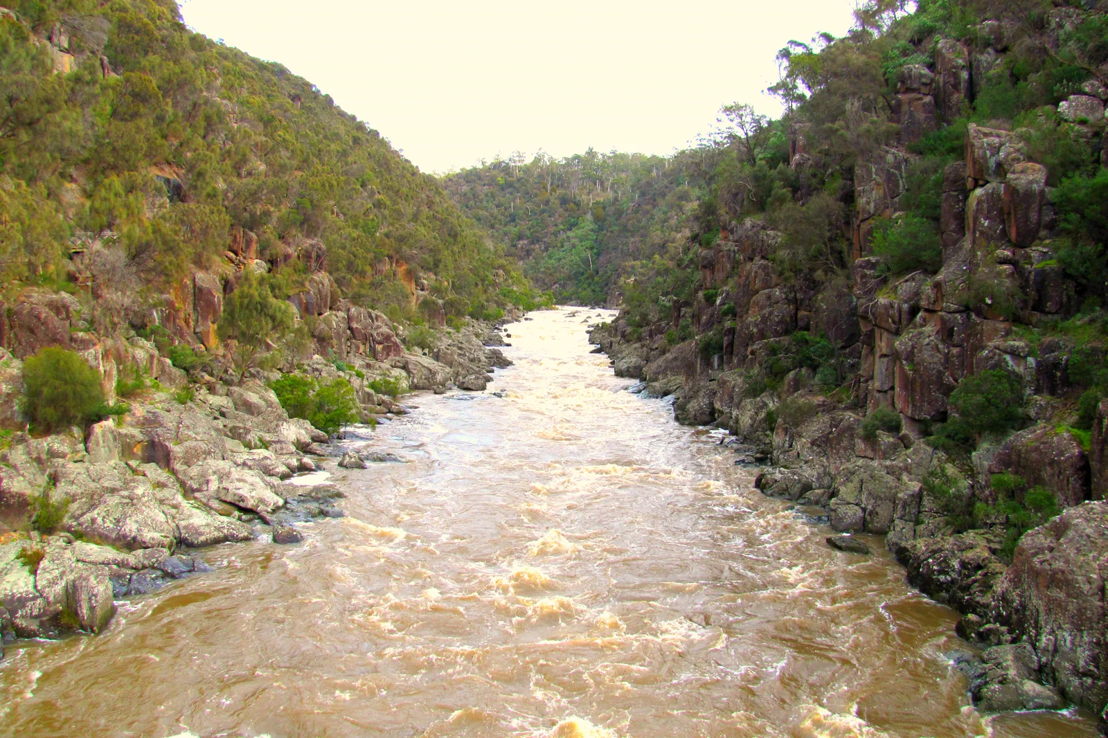
Best for a short visit, no-car city days and flexible weather. Choose lodging within a verified walk or bus transfer of your actual arrival point. The Gorge and central institutions form a complete two-night stay without requiring a rural drive.
Choose this for a bounded nature visit only after checking PWS alerts and the last-mile service. The 13 October 2026 snapshot lists the Centre and route to the bird hide as open during bridge replacement; the rest of the path is partially closed through 17 December. Stay within the signed access.
Choose a hired car with a sober driver or a booked tour that confirms stops and return. This offers more control over producer timing but brings rural-road and alcohol risks. If the operator cannot confirm the pickup or a venue is closed, use the central city plan instead of adding a speculative next stop.
Use Launceston as a base; choose one Tamar branch.
Stay in central Launceston near the city bus corridor, restaurants and the walkable city core when your priorities are Cataract Gorge, the museum/arts precinct and a manageable arrival by airport transfer or coach. Keep a second night if you want a northern excursion; a remote valley cottage may be appealing but shifts the burden to a car, check-in and a rural return. The Tamar Valley has several banks and stops, not one continuous transit promenade. Pick one named destination and confirm the exact pickup and return before leaving the city. On 13 October 2026, the PWS alert listed a partial closure of the Tamar Island Wetlands walkway through 17 December, with the centre and bird-hide section remaining open. That makes the shorter wetland visit a date-specific option, not a guarantee that the full island loop is open.
A route with an exit built in.
Arrive and settle in town
Use a confirmed transfer from Launceston Airport or coach stop to a central bed. Metro’s Launceston network can help within its operating corridors; check the current trip planner, stop, timetable and service updates rather than assuming the airport or valley is covered.
Walk one open Gorge segment
Check Cataract Gorge’s current track and facility notice, weather, flood conditions, walking ability and return. Pick a single short route with a clear exit, then use a central indoor venue or café if rain, heat or track closure makes the gorge unsuitable.
Select one Tamar destination
For the wetland, check the alert and walk only the exact section currently open. For rural stops, book a tour or nominate an alcohol-free driver and verify property entry. Avoid crossing between banks to collect too many stops; one branch and one return protect the day.
Close the loop in Launceston
Confirm the last bus, tour drop-off or car return to the central bed before departure. If the excursion service cannot be verified end to end, keep the city day and postpone the valley. Do not walk a highway shoulder or rely on an assumed rideshare in a rural area.
Three reasons to change the plan.
Partial walkway closure
As checked 13 October 2026, PWS lists bridge replacement on the Tamar Island Wetlands walkway until 17 December; the centre and bird-hide path remain open. Recheck the alert and obey signs; do not enter the fenced section.
The city network ends before rural sites
A Launceston bus connection does not prove a trailhead or venue transfer. Confirm pickup, return and the exact stop with the current operator; otherwise choose a city-based day.
Tastings and daylight driving
One tasting region can still consume a day. Use a booked tour or sober driver, check venues individually and finish the rural leg in daylight to reduce wildlife and fatigue exposure.
Access is never implied by proximity.
Do not cross a closed bridge, wetland barrier, gorge fence or private vineyard boundary. The PWS wetland notice names the open centre and bird-hide walkway; it does not make the remainder of the closed loop accessible. If a live alert or operator cannot confirm a segment, choose the city itinerary or postpone it rather than seeking an informal path.
Four related field chapters.
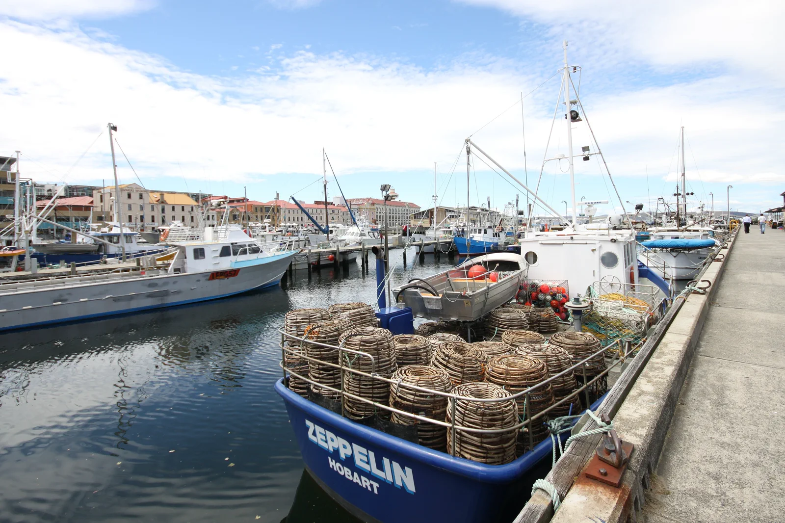
nipaluna / Hobart & Salamanca
Build a Hobart day from one indoor collection, the working waterfront and Salamanca Place.
Open the field guide →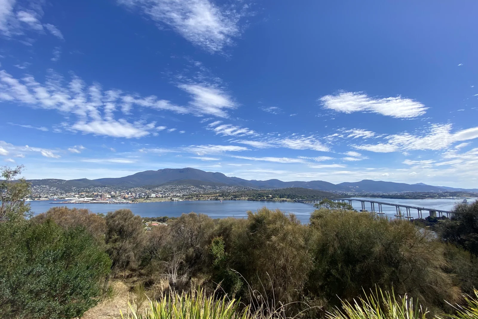
kunanyi / Mount Wellington
A Hobart-to-kunanyi route that chooses between the exposed summit, The Springs and a lower city-side walk only…
Open the field guide →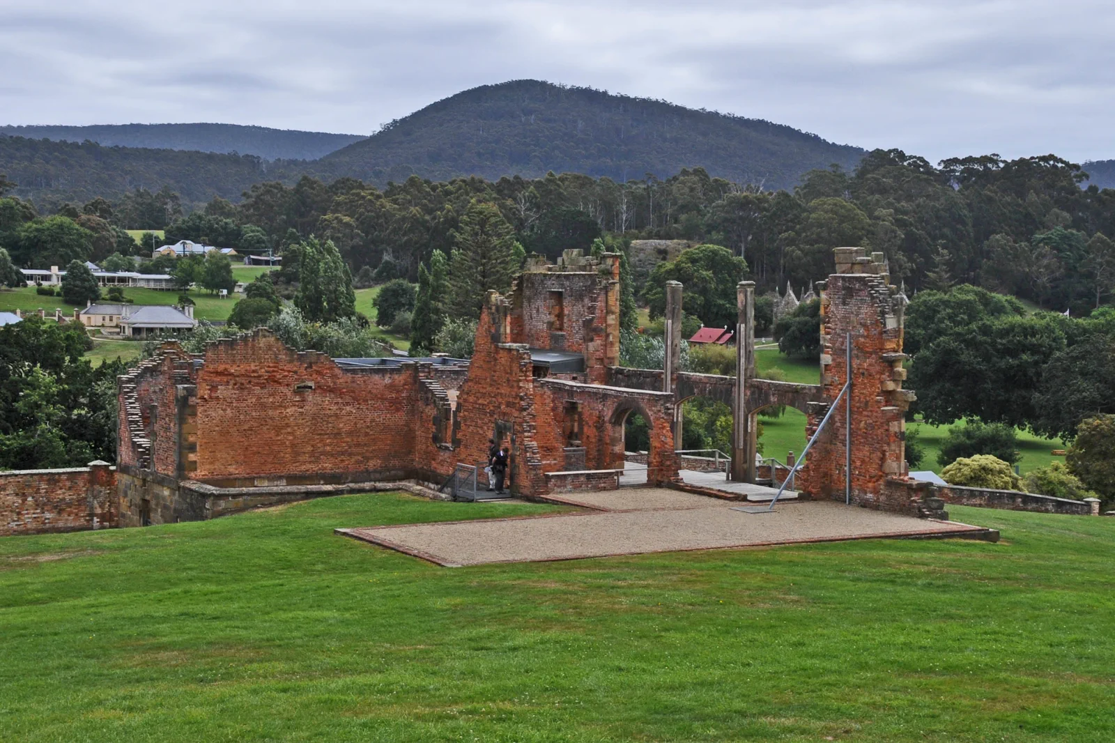
Port Arthur & Tasman Peninsula
A Hobart-to-Port Arthur route that gives the historic site a full visit, then adds at most one confirmed…
Open the field guide →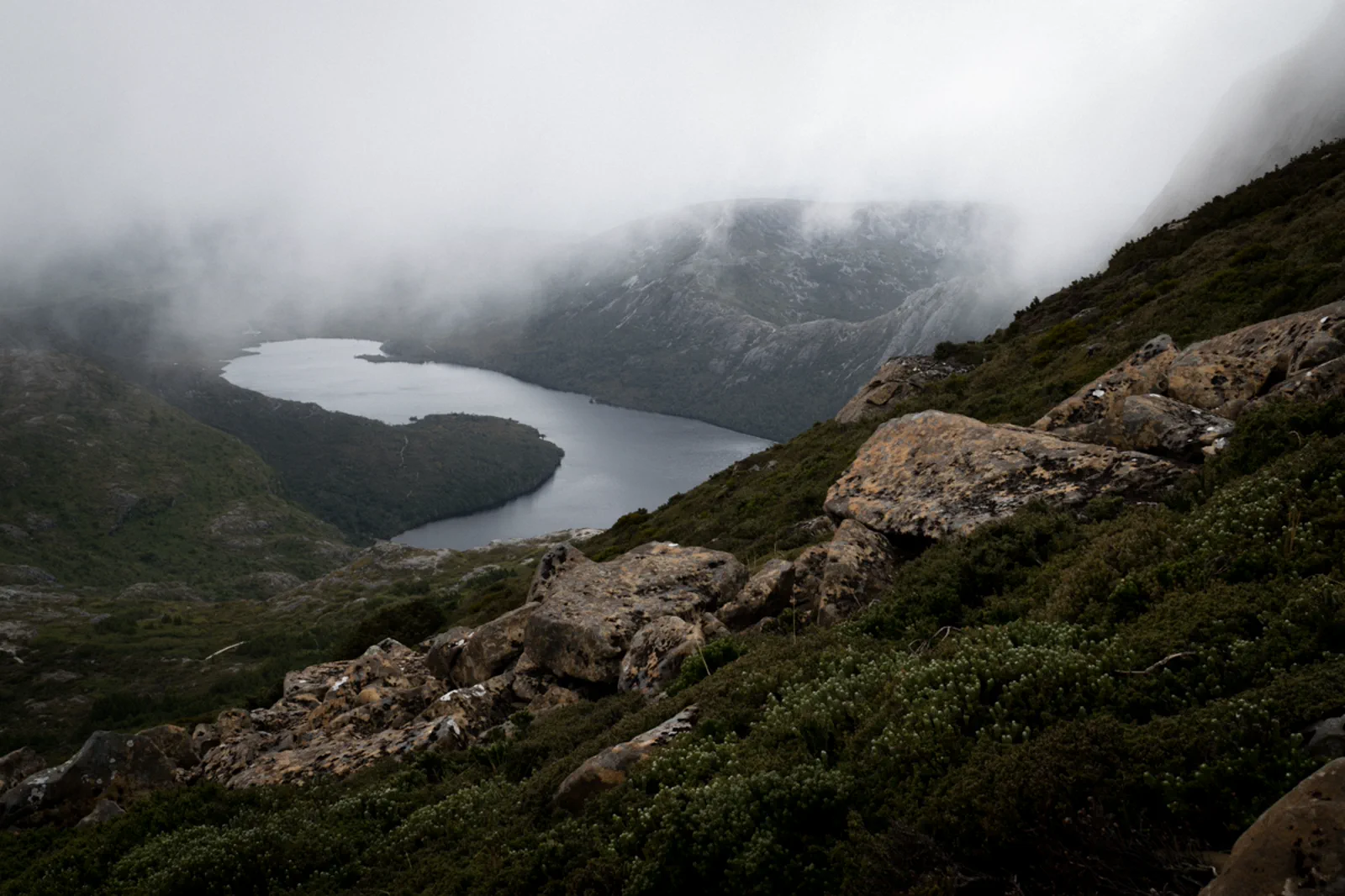
Cradle Mountain & Freycinet
A multi-night route comparison for Cradle Mountain and Freycinet, with separate gateway beds, a timed Cradle…
Open the field guide →Launceston & Tamar Valley FAQ
How many nights should I stay in Launceston?
Two nights allow one central city/Gorge day and one separately confirmed Tamar excursion. Three nights add room for a late flight, wetland closure or weather change. Do not use Launceston as a day-return base for Cradle Mountain, Freycinet and the full valley.
Can I visit the whole Tamar Island Wetlands loop?
Not on the alert snapshot checked 13 October 2026. PWS says the walkway is partly closed through 17 December while bridges are replaced, with the centre and path to the bird hide open. Recheck the live notice and stay on the signed open route.
Does Metro Tasmania take me to every Tamar Valley attraction?
No general city connection should be assumed. Use Metro’s live Trip Planner for the exact stop and time; then separately confirm the attraction pickup and return. If the final-mile service is not explicit, book a tour/car or remain in Launceston.
How can I plan a winery or producer day safely?
Book a tour with a named Launceston pickup and return, or assign an alcohol-free driver before leaving. Select one valley side and a small number of confirmed venues. Do not rely on a last-minute rideshare or drive after tasting.
What is the rain or closure alternative?
Keep the central city and an indoor Launceston venue as the fallback. Use only the wetland section explicitly listed as open; if that status or route is unclear, omit the wetland excursion rather than crossing a closed bridge or fence.
Official sources and photo credits
Planning facts and image licenses were reviewed on 13 October 2026. Access, weather, transport, fire, marine and operator conditions change; verify directly before travel.
- Parks and Wildlife Service Tasmania — Tamar Island Wetlands access and facilities.
- Parks and Wildlife Service Tasmania — dated partial walkway closure.
- Metro Tasmania — Launceston network, trip planner and service updates.
- Transport Tasmania — public transport timetables and service notices.
- Bureau of Meteorology — Launceston forecast and warnings.
- Tasmanian Aboriginal Centre — Palawa cultural information.
- Hobart waterfront Nov 2011 - 2.jpg — Tony 1212, CC BY 4.0. Resized, display-cropped and converted to WebP; no other material edits.
- Hobart, kunanyi, the river and Tasman Bridge from the Rosny Lookout.jpg — jacobharrisau, CC BY-SA 2.0. Resized, display-cropped and converted to WebP; no other material edits.
- THE HOSPITAL PORT ARTHUR HISTORIC SITE.jpg — JERRYE & ROY KLOTZ MD, CC BY-SA 3.0. Resized, display-cropped and converted to WebP; no other material edits.
- Launceston Cataract Gorge & First Basin, Tasmania.jpg — Feral Arts, CC BY 2.0. Resized, display-cropped and converted to WebP; no other material edits.
- Dove Lake view in a foggy day. Cradle Mountain Lake-St Clair National Park, Tasmania.jpg — Andrea.Messina93, CC BY-SA 4.0. Resized, display-cropped and converted to WebP; no other material edits.