Lake Burley Griffin & National Museum lake-loop collection day.
Use National Museum of Australia on Acton Peninsula as the anchor, then add one short West Basin shoreline walk. A full lake circuit is a separate commitment shaped by bridge works, path closures and wind.
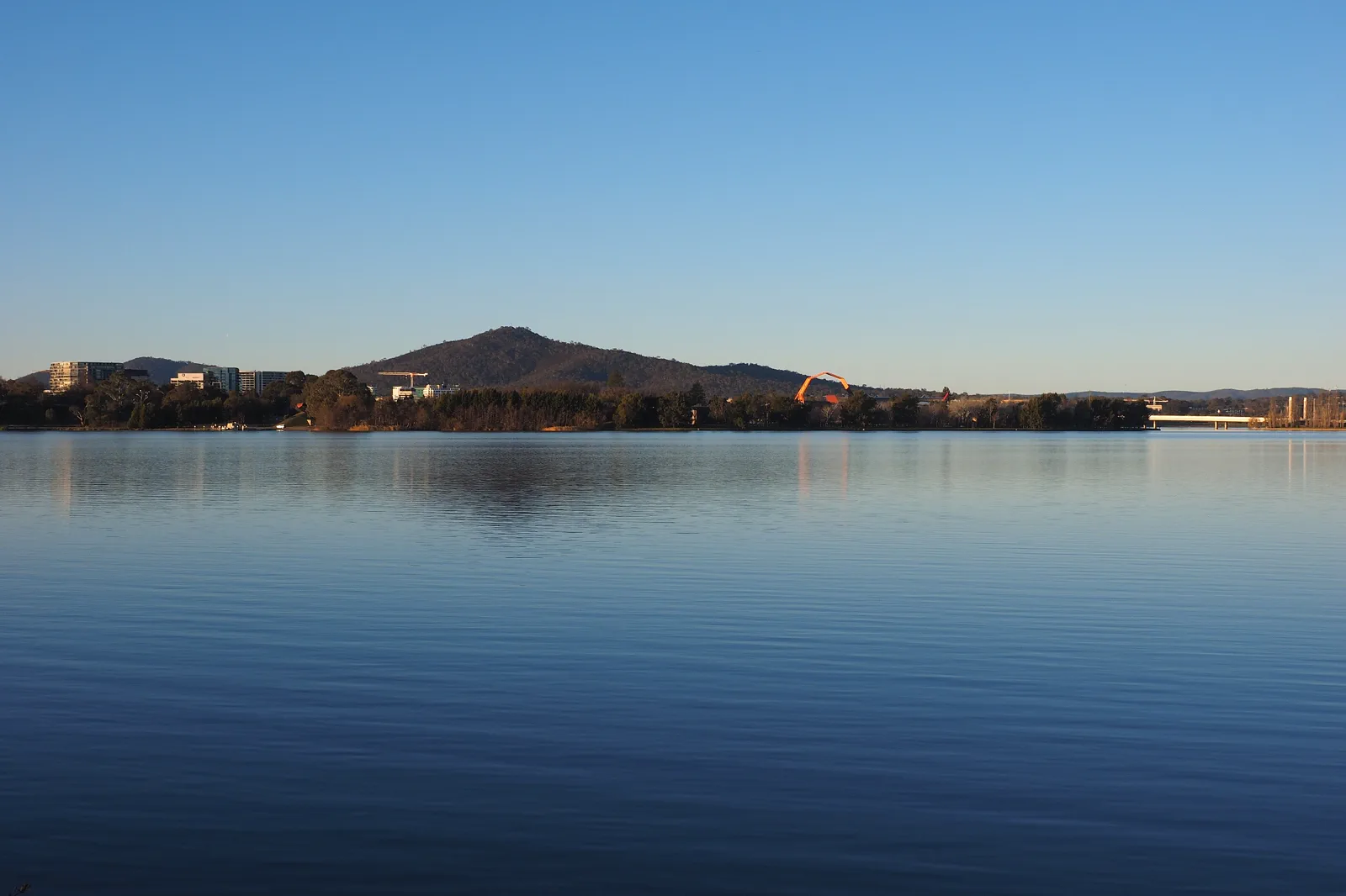
Choose one exhibition or a gallery group after checking the daily visit page. Most exhibitions and events are free, but some cost extra; a special ticket should set the rest of the day rather than compete with an unbooked lake loop.
A short out-and-back on the Acton Peninsula foreshore suits a museum day. The NCA’s 5km Bridge-to-Bridge walk and 16km Western Loop are separate route choices; do not let the word loop hide the distance or bridge crossings.
Route 53 serves the Museum corridor, but its direction and final departure matter. Save the live stop and timetable, or park legally at the Museum; do not end on the far side of the basin without a confirmed connection.
One peninsula, one museum block, one return corridor.
Acton Peninsula projects into West Basin, so the National Museum and its lakeside paths belong to one western-side day. Use the Lawson Crescent museum entrance as the route anchor: visit a gallery, step into the Garden of Australian Dreams or another public space, then take a short signed foreshore out-and-back and return to the same transport side. The National Capital Authority describes a 5km Bridge-to-Bridge central-basin walk and a much longer 16km Western Loop for cyclists; neither is a small museum add-on. Choose one shoreline segment unless the whole loop is the purpose of the day.
Museum first; the water edge is an optional extension.
The useful geography is a fixed stop on Acton Peninsula with a short shoreline choice, not an attempt to circle the whole lake.
Reach Acton Peninsula, visit indoors, then walk only the open shore.
Confirm the museum block
Check the current daily visit information, exhibition ticket requirements and accessibility map. Requests for objects not on public display have a separate appointment process; ordinary museum access is not described that way.
Use the service that reaches the Museum
Route 53 currently serves the National Museum from the City/ANU Acton corridor. Compare the correct day and direction, or confirm legal parking and the return plan before walking away from the entrance.
Choose a shore segment
After the galleries, walk from the Acton Peninsula museum grounds onto an open signed path. Set a turn point that fits wind, sun, mobility and remaining daylight; do not silently turn a short stroll into the central-basin or western cycling loop.
Return on the same side
Retrace the path to the Museum stop or vehicle. If NCA bridge or path works, an event or poor weather removes the crossing, stay on the western side and use the Museum, garden or cafe as the shorter-day alternative.
Three reasons to change the plan.
Bridge and path works
As of 12 October 2026, NCA lists a northbound Commonwealth Avenue Bridge closure for roads and shared paths, with reopening anticipated by the end of January 2027 weather permitting. Check the live detour before any central-basin crossing.
Wind, heat and rain
The shoreline is exposed and the bridge-to-bridge route has more distance than the museum-side out-and-back. Shorten to the museum grounds when conditions or mobility make the open path uncomfortable.
Water conditions are site-specific
On 9 October 2026, the NCA listed Yarralumla Beach closed to primary-contact recreation because of elevated bacteria. That is not a lake-wide status; check the exact beach or activity location and avoid assuming that a waterfront path implies safe swimming.
Access is never implied by proximity.
The lakeshore includes public paths, water, wildlife habitat, event areas and managed facilities. Stay on the signed route, respect temporary barriers and do not enter closed water or shoreline. Check the NCA notice for the exact basin and activity rather than treating all of Lake Burley Griffin as one access condition.
Four related field chapters.
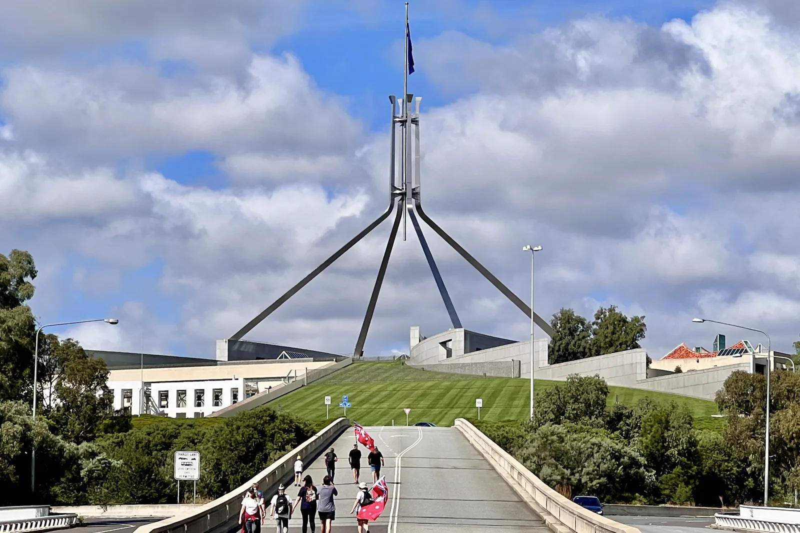
Parliamentary Triangle
Build the Parliamentary Triangle around Australian Parliament House and one additional institution.
Open the field guide →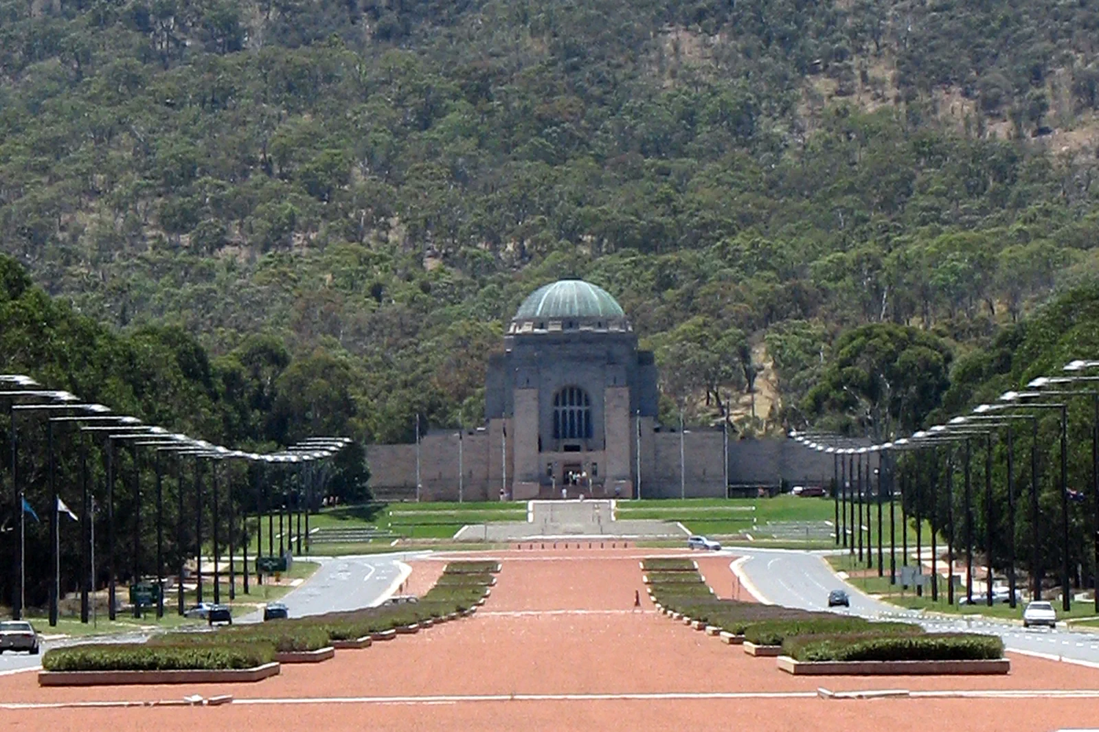
Australian War Memorial & Mount Ainslie
Give the Australian War Memorial its own quiet visit, then decide whether the Mount Ainslie summit walk, road…
Open the field guide →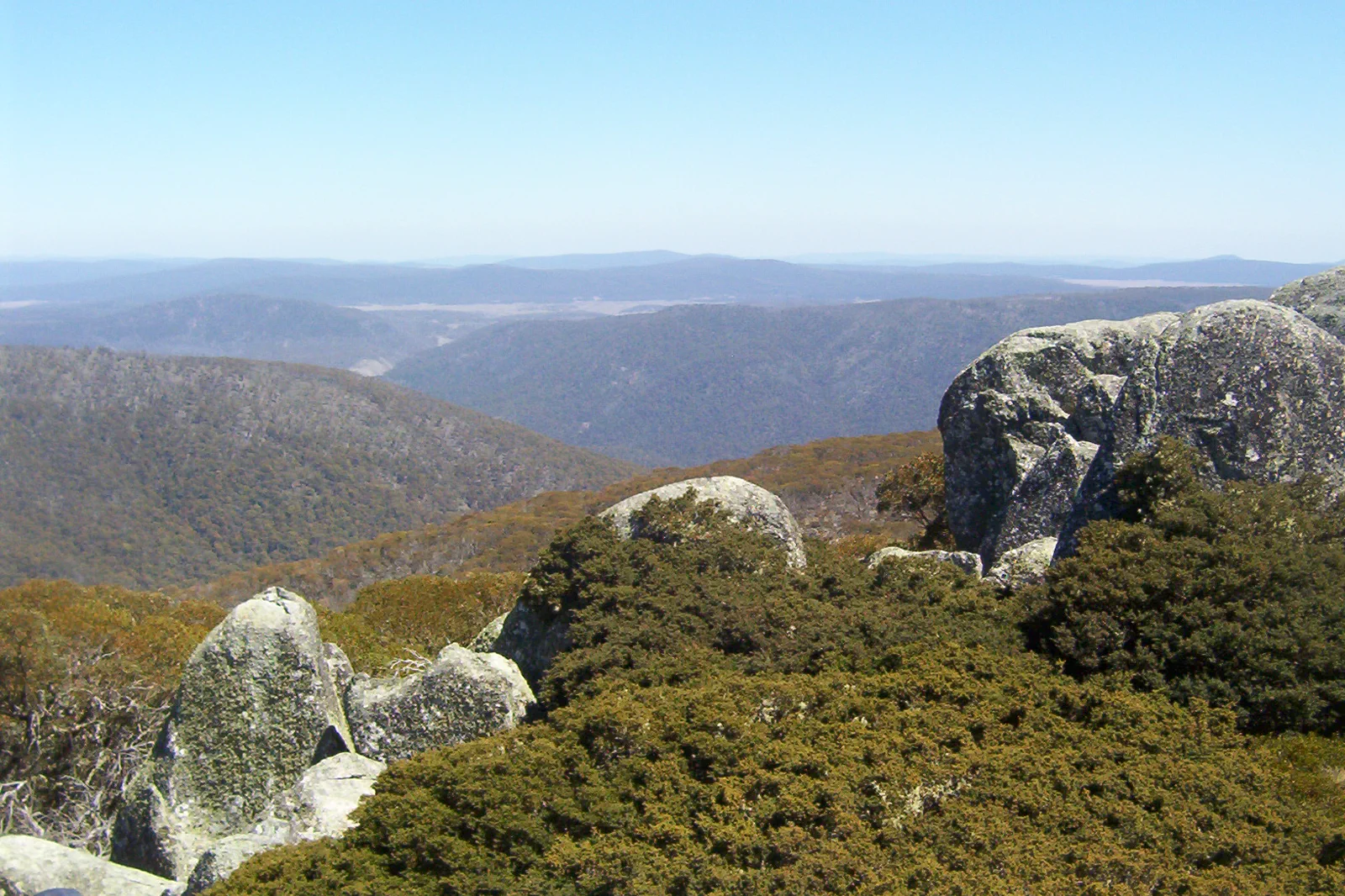
Namadgi National Park
A remote ACT park day built from Ngunnawal Country guidance, road and track status, fire danger and a…
Open the field guide →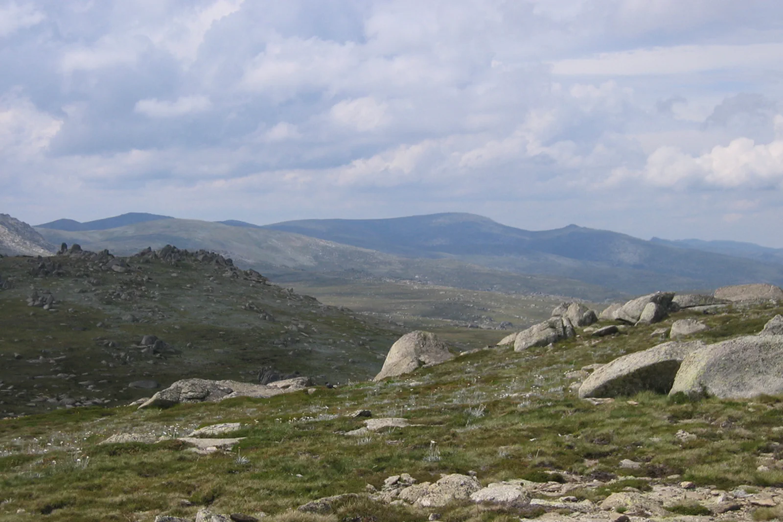
Snowy Mountains & Kosciuszko
An alpine route that begins in a gateway such as Jindabyne and changes completely between snow season, summer…
Open the field guide →Lake Burley Griffin & National Museum FAQ
Do I need an appointment to visit the National Museum?
The Museum lists daily public hours. The appointment wording on its visit page applies to requests to see collection objects that are not on display; some exhibitions and events have separate ticket charges. Recheck the current visit page before travelling.
Is a full Lake Burley Griffin circuit a short walk?
No. The NCA identifies the 5km central-basin Bridge-to-Bridge walk and a separate 16km Western Loop for cycling. This guide’s museum-day plan uses a shorter Acton Peninsula out-and-back unless you deliberately choose one of those longer routes.
Can I swim after the Museum?
Only if the exact site is open for that activity on the day. The NCA water-quality page listed Yarralumla Beach closed on 9 October 2026 because of elevated bacteria; that notice does not describe every shoreline site.
Official sources and photo credits
Planning facts and image licenses were reviewed on 12 October 2026. Access, weather, transport, fire, marine and operator conditions change; verify directly before travel.
- National Museum of Australia — visit, hours, exhibitions and access.
- National Museum of Australia — accessibility and parking.
- Transport Canberra — Route 53 map and current timetable.
- National Capital Authority — 5km Bridge-to-Bridge and 16km Western Loop.
- National Capital Authority — Commonwealth Avenue Bridge closure.
- National Capital Authority — Lake Burley Griffin water quality and site closures.
- Bureau of Meteorology — Canberra forecast and warnings.
- Exterior of Parliament House, Canberra, 2022, 01.jpg — Kgbo, CC BY-SA 4.0. Resized, display-cropped and converted to WebP; no other material edits.
- Part of the western section of Lake Burley Griffin June 2017.jpg — Nick-D, CC BY-SA 4.0. Resized, display-cropped and converted to WebP; no other material edits.
- Canberra - War Memorial 1.jpg — Nicholas Brown, CC BY 2.0. Resized, display-cropped and converted to WebP; no other material edits.
- Mount Ginini - Namadgi National Park - 2.jpg — Dfrg.msc at English Wikipedia, Public domain. Resized, display-cropped and converted to WebP; no other material edits.
- Snowy Mountains as seen from Kosciuszko Lookout.jpg — Cimexus from Canberra, Australia, CC BY 2.0. Resized, display-cropped and converted to WebP; no other material edits.