Snowy Mountains & Kosciuszko alpine season gate.
Treat Kosciuszko as a separate regional leg, not a Canberra day trip. First choose the season and gateway; then decide between the long Charlotte Pass summit walk, a lift-dependent Thredbo ascent, skiing, or a lower-key town day if weather or access closes the high country.
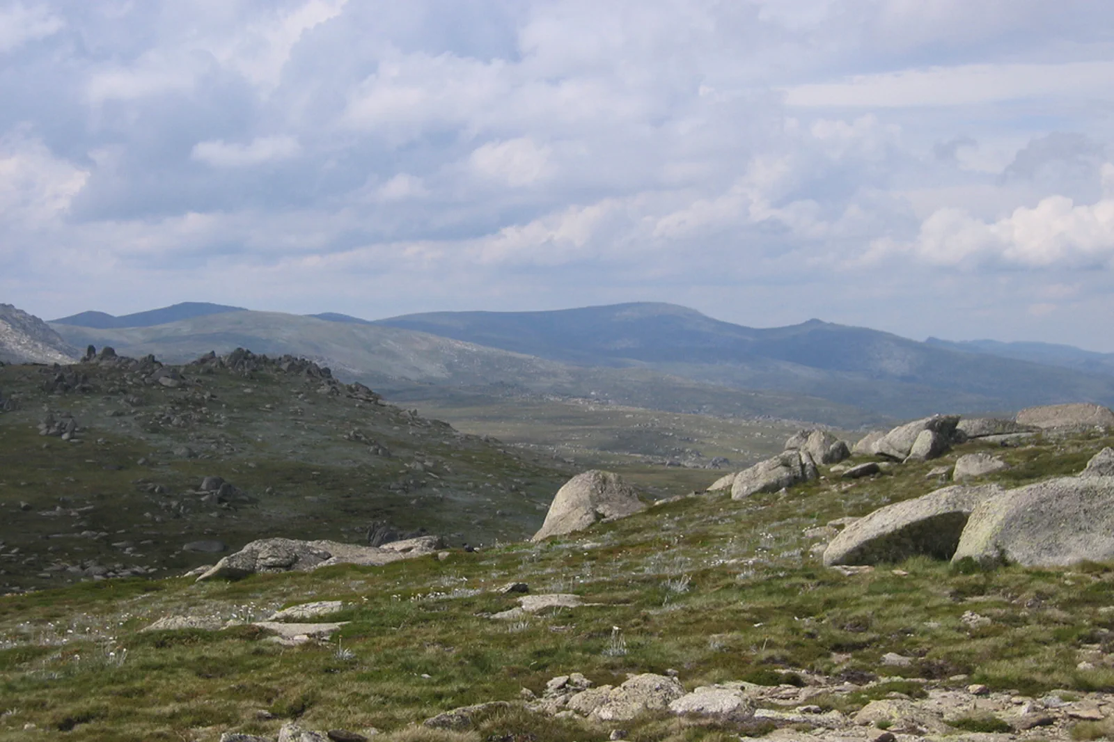
Use Jindabyne for the Thredbo–Perisher gateway and regional services; move to Thredbo or Perisher only when that changes the lift, snow or early-start plan. Adaminaby or Tumut serve other park sectors.
Charlotte Pass is an 18.6km / 6–8 hour return walk in the snow-free season. The Thredbo route depends on the Kosciuszko Express chairlift; its operating day defines the return.
Two nights permit arrival and one mountain day. Three nights create a weather reserve; if the summit is closed or unsafe, take that reserve in town or use only a separate lower route confirmed open by the park.
The gateway is part of the route.
From Canberra, the Thredbo–Perisher and Lower Snowy River areas route via Cooma and Jindabyne; the approach to Jindabyne is about 145km in the official park directions. Thredbo branches 33km along Alpine Way, while Perisher is 33km from Jindabyne and Charlotte Pass a further 8km beyond Perisher. Those are separate bases and road legs. Other Snowy Mountain areas use Adaminaby, Tumut or Khancoban gateways, so choose the named park area before booking accommodation.
Charlotte Pass removes the lift; Thredbo removes kilometres.
Both routes reach Mount Kosciuszko, but they are not interchangeable on the same timetable. Pick the base and return plan first, then check the actual operating date and conditions.
A route with an exit built in.
Declare season and gateway
Choose Jindabyne, Thredbo, Perisher, Charlotte Pass or a northern park gateway by the exact trail and season. Allow the Canberra–Cooma–Jindabyne road leg as a move day, not as time inside the hike.
Lock the constrained transfer
For Charlotte Pass, verify Kosciuszko Road, winter oversnow access, entry fees, chain requirements and parking. For Thredbo, verify the chairlift and last return. For a regional coach, book the onward trailhead transfer separately.
Walk the route you prepared for
Use the official distance and all-weather gear, water and navigation. Start only when the live alpine forecast, alert and access status support the full return; there is no safe summit shortcut through a closure.
Keep a weather day
If wind, cloud, snow, road closure or lift operation cancels the ascent, take the reserved day in the gateway town or choose a different park walk only after independently confirming its access and conditions. Do not replace it with a longer drive across an unfamiliar pass.
Three reasons to change the plan.
Fast alpine change
The official park warns that weather can be extreme and unpredictable and mobile reception limited. A benign town forecast does not equal a summit forecast. Do not start if poor weather is approaching; turn around early when the route or return loses visibility.
Chains, road and fee gates
Two-wheel drives must carry chains on named roads during the winter period; the road to Charlotte Pass closes in winter and KNP5 closes seasonally. Check the current rule, road notices, park entry and live traffic before each leg.
Lift and vehicle cutoffs
Thredbo’s summit route relies on the chairlift. A late start, queue, closure or missed last descent breaks the plan; reserve the lift before setting the walking pace and obey the operator’s return time.
Access is never implied by proximity.
The alpine environment has fragile vegetation, rapid weather changes and limited mobile reception. Stay on formed paths, carry all-weather layers, water, navigation and food, and turn around before visibility, wind, snow, ice, fatigue or transport cutoff makes descent uncertain. Respect Aboriginal cultural significance and the rules of the park and resort; summit status is never more important than a safe exit.
Four related field chapters.

Parliamentary Triangle
Build the Parliamentary Triangle around Australian Parliament House and one additional institution.
Open the field guide →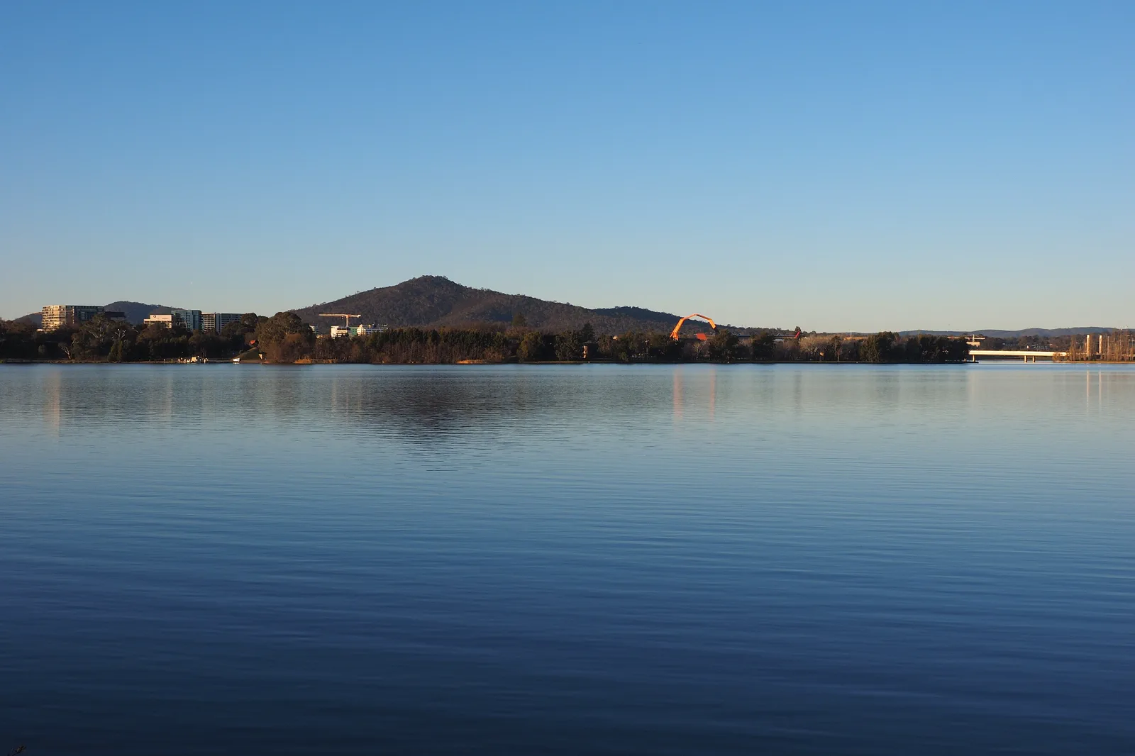
Lake Burley Griffin & National Museum
Use National Museum of Australia on Acton Peninsula as the anchor, then add one short West Basin shoreline walk.
Open the field guide →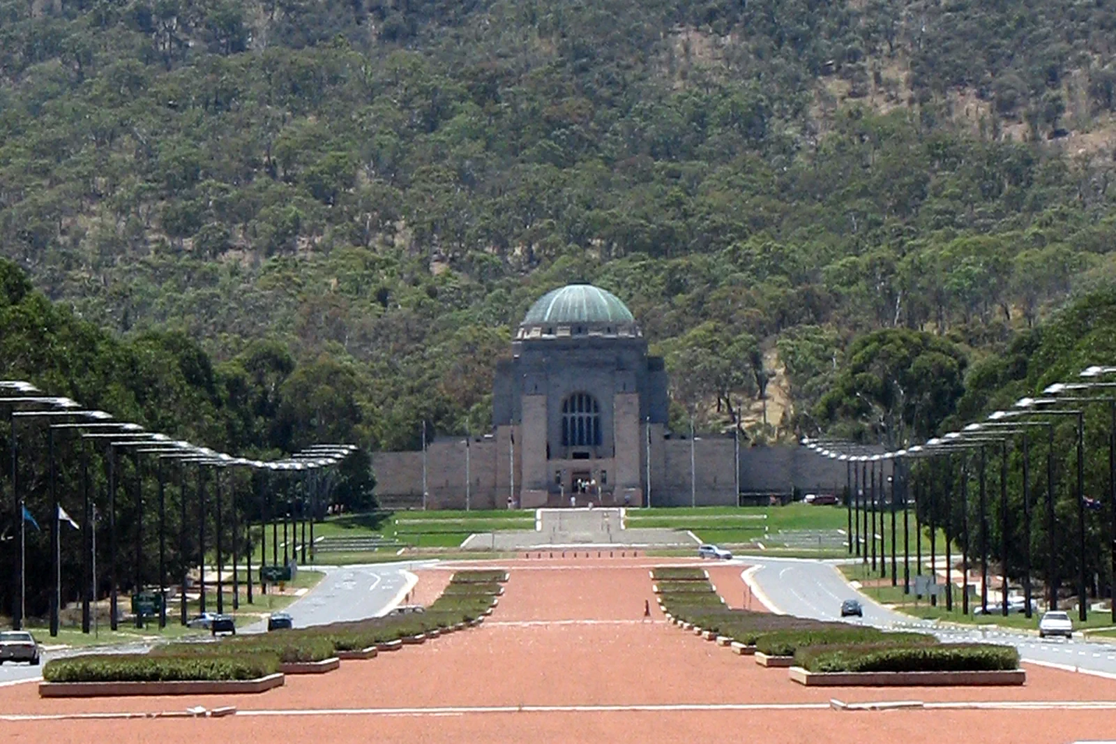
Australian War Memorial & Mount Ainslie
Give the Australian War Memorial its own quiet visit, then decide whether the Mount Ainslie summit walk, road…
Open the field guide →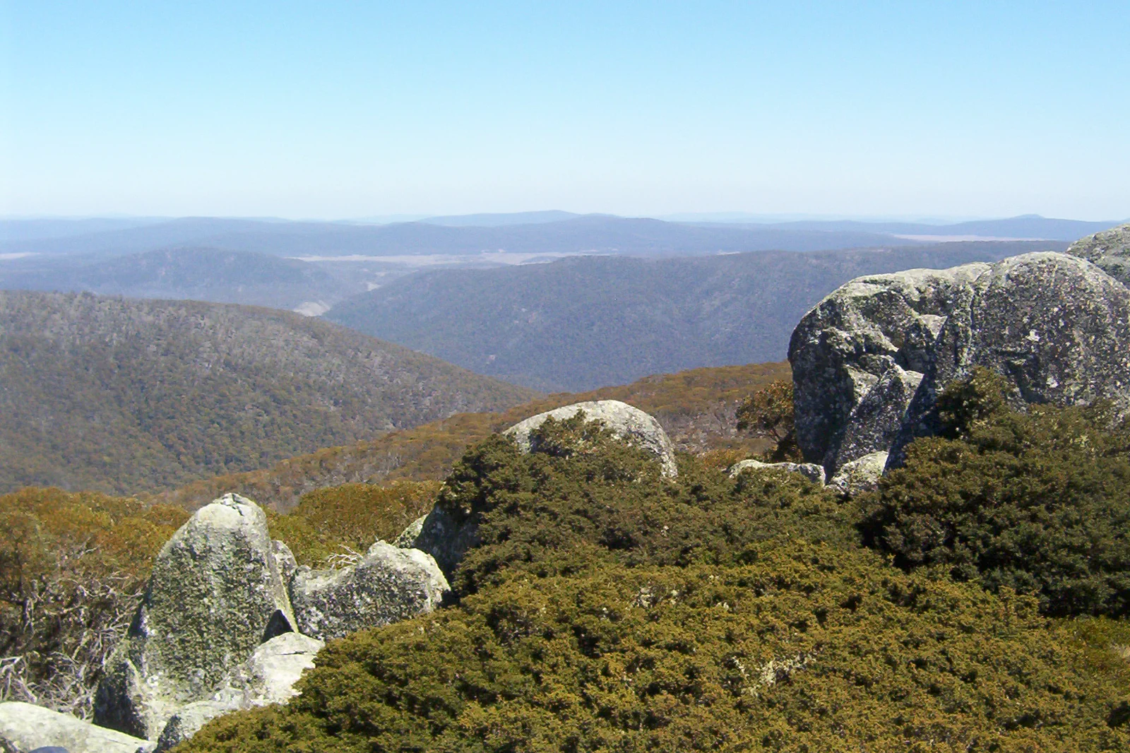
Namadgi National Park
Plan Namadgi as a full day from Canberra, with one open trail system chosen by grade, road approach and…
Open the field guide →Snowy Mountains & Kosciuszko FAQ
Can I visit Kosciuszko from Canberra in one day?
It is a long regional drive before the trail begins, and the summit walk itself is 18.6km return with 6–8 hours suggested. Stay in the Jindabyne gateway for at least two nights rather than trying to combine a Canberra visit and summit.
Where should I stay for the summit?
Jindabyne is the practical base for either the Thredbo–Perisher road or the Kosciuszko Road approach to Charlotte Pass. A Thredbo or Perisher stay is useful only when it improves the specific lift, snow or start-time plan; book the base that matches the current access.
Is the Charlotte Pass summit route open all year?
No. NSW National Parks describes the 18.6km Grade 3 track as snowbound in winter and says the private road between Perisher and Charlotte Pass closes then. The winter access is by oversnow transport from Perisher; verify the service and the current park guidance before travelling.
What if the Thredbo chairlift does not run?
The route begins at the top of Kosciuszko Express, so the planned trailhead disappears if the lift is not operating. Do not assume you can walk from the village and still meet the same schedule. Take the weather buffer or a separate open route confirmed by the park.
Do I need chains in spring?
The official visitor information specifies a winter chain-carry period for 2WD vehicles on named park roads and recommends chains more broadly in extreme weather. Check the current dates, roads and legal instructions for your own vehicle and day.
What is a sensible weather backup?
Reserve an extra night and let the live alert and alpine forecast decide. If the summit is unsafe, stay in the gateway or choose a different, lower-elevation park-area visit only after checking its road and track status. Do not force the summit or substitute a long road circuit.
Official sources and photo credits
Planning facts and image licenses were reviewed on 13 October 2026. Access, weather, transport, fire, marine and operator conditions change; verify directly before travel.
- NSW National Parks — park sectors, gateway roads, seasonal closure and local alerts.
- NSW National Parks — Charlotte Pass summit walk, 18.6km return, winter access, chains and safety.
- NSW National Parks — Thredbo summit route and lift access.
- Transport for NSW — Live Traffic road conditions.
- Bureau of Meteorology — Kosciuszko alpine forecast.
- Exterior of Parliament House, Canberra, 2022, 01.jpg — Kgbo, CC BY-SA 4.0. Resized, display-cropped and converted to WebP; no other material edits.
- Part of the western section of Lake Burley Griffin June 2017.jpg — Nick-D, CC BY-SA 4.0. Resized, display-cropped and converted to WebP; no other material edits.
- Canberra - War Memorial 1.jpg — Nicholas Brown, CC BY 2.0. Resized, display-cropped and converted to WebP; no other material edits.
- Mount Ginini - Namadgi National Park - 2.jpg — Dfrg.msc at English Wikipedia, Public domain. Resized, display-cropped and converted to WebP; no other material edits.
- Snowy Mountains as seen from Kosciuszko Lookout.jpg — Cimexus from Canberra, Australia, CC BY 2.0. Resized, display-cropped and converted to WebP; no other material edits.