Namadgi National Park bush-country threshold.
Plan Namadgi as a full day from Canberra, with one open trail system chosen by grade, road approach and daylight. The useful decision is whether the group wants a short visitor-centre walk, a granite lookout, Yankee Hat cultural interpretation or the longer Mount Tennent climb—not how many map pins can fit.
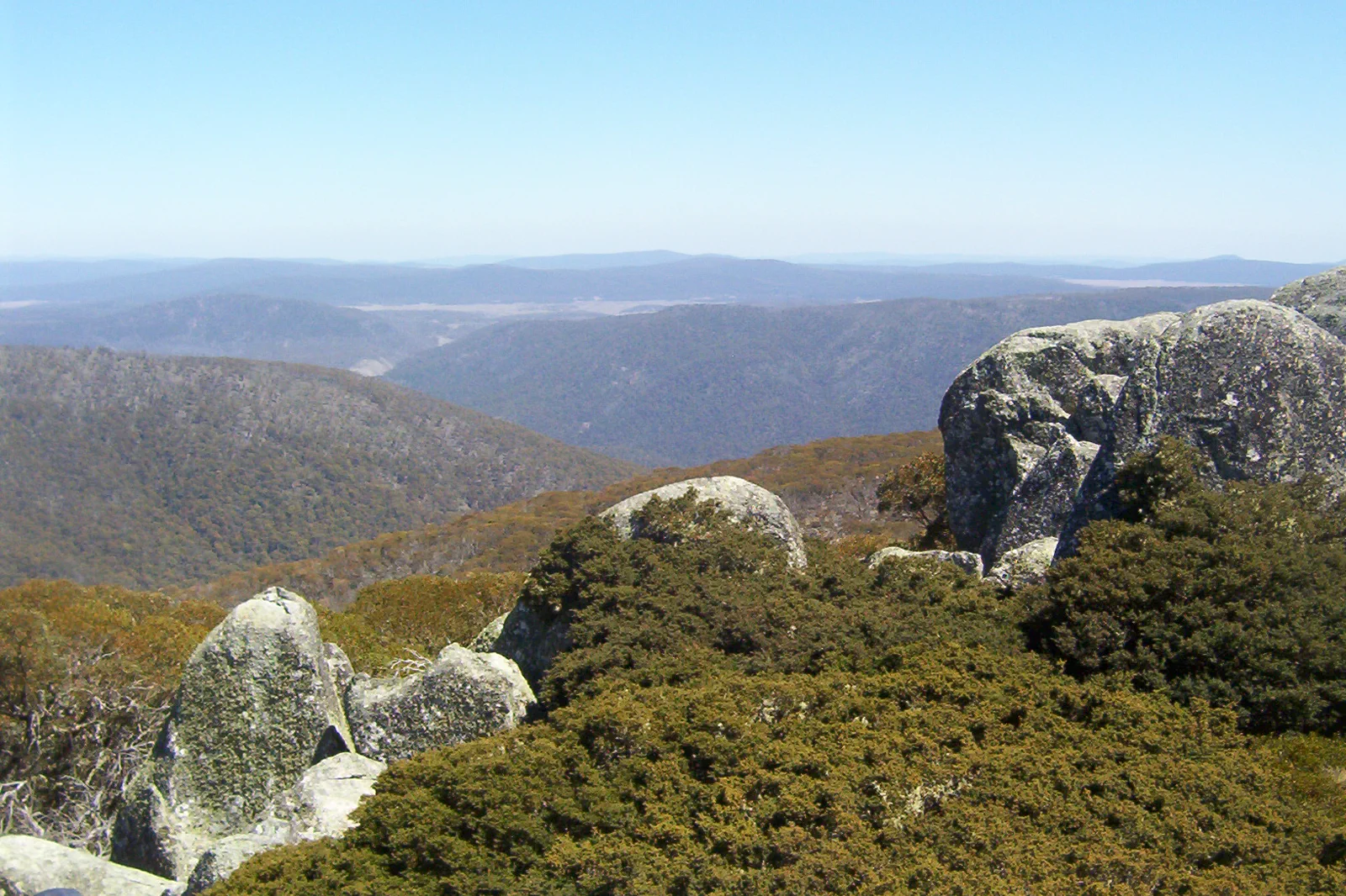
Keep accommodation in Canberra for a single park day. An overnight camp changes the permit, booking, fire and equipment plan; it is not a shortcut between trails.
Choose Naas Road, Corin Road or Old Boboyan Road before leaving town. Their trailheads are not interchangeable, and wet weather can change an unsealed approach.
Woodland Walk is a 1km, 30–45 minute Grade 2 loop; Square Rock is 10km / about 4 hours; Yankee Hat is 6.5km / about 3 hours; Mount Tennent is 4.5km / about 2 hours to Cypress Pine Outlook or 15km / about 6 hours to the summit.
Pick the access corridor before the trail.
Namadgi covers almost half the ACT and its trailheads sit along separate unsealed approaches. Use the Namadgi Visitor Centre / Naas Road for the Woodland Walk and Mount Tennent; Corin Road for Square Rock; Old Boboyan Road for Yankee Hat. Leave the city as your overnight base unless a booked campground is itself part of the plan. Driving between trailheads can consume the time you expected to spend walking.
The kilometres start at the gate, not at Canberra.
Choose by the walk you want and the approach you can safely drive. The official track descriptions include time and grade; those estimates do not include the drive, a late start, a wet track or a long return to town.
A route with an exit built in.
Choose a gate, then check it
Select Naas Road, Corin Road or Old Boboyan Road to match one walk. Confirm the access road, track, fire and cultural closures that morning; an open walk can still have a closed approach.
Set one honest distance
Use the official grade and return distance, add drive and rest time, and choose the shorter Mt Tennent outlook if the full summit does not fit. Keep water, daylight and a turnaround in reserve.
Walk with the place
Use marked tracks, registers and official interpretation. Yankee Hat has a viewing platform; do not leave it to approach rock art or other sensitive places. Bring your own drinking water and carry out rubbish.
Close the loop in daylight
Return to the same vehicle before dusk, when wildlife and reduced visibility make rural roads harder. If weather, smoke, fire or road status changes, turn back and use an open short walk or a Canberra indoor day instead.
Three reasons to change the plan.
Road, fire and recovery
Unsealed road access can change at short notice. The 2020 Orroral Valley fire burned more than 80% of Namadgi; smoke, prescribed burns, storm damage and recovery works can close roads or lengthen a walk. Check the managing authority, then confirm uncertain roads with the Visitor Centre.
Mountain weather and communication
Carry warm waterproof clothing in every season, water, offline navigation and a charged phone; coverage is not assured. A PLB is worth considering on remote routes. Do not start a long walk if cloud, wind, heat or the remaining daylight removes the return margin.
Cultural and wildlife care
Dogs are generally not allowed in Namadgi; the park allows them in vehicles transiting between the ACT and NSW on Boboyan or Brindabella Roads. Stay out of closed cultural areas, leave huts and artefacts undisturbed, and carry food and rubbish back out.
Access is never implied by proximity.
Namadgi is Ngunnawal Country, with living cultural meaning and places that require protection. Read official interpretation, stay on formed public routes, do not touch or photograph restricted cultural material, and never treat a closed gate as a route suggestion. The 2020 Orroral Valley fire affected more than 80% of the park; recovery and infrastructure access remain part of the landscape.
Four related field chapters.

Parliamentary Triangle
Build the Parliamentary Triangle around Australian Parliament House and one additional institution.
Open the field guide →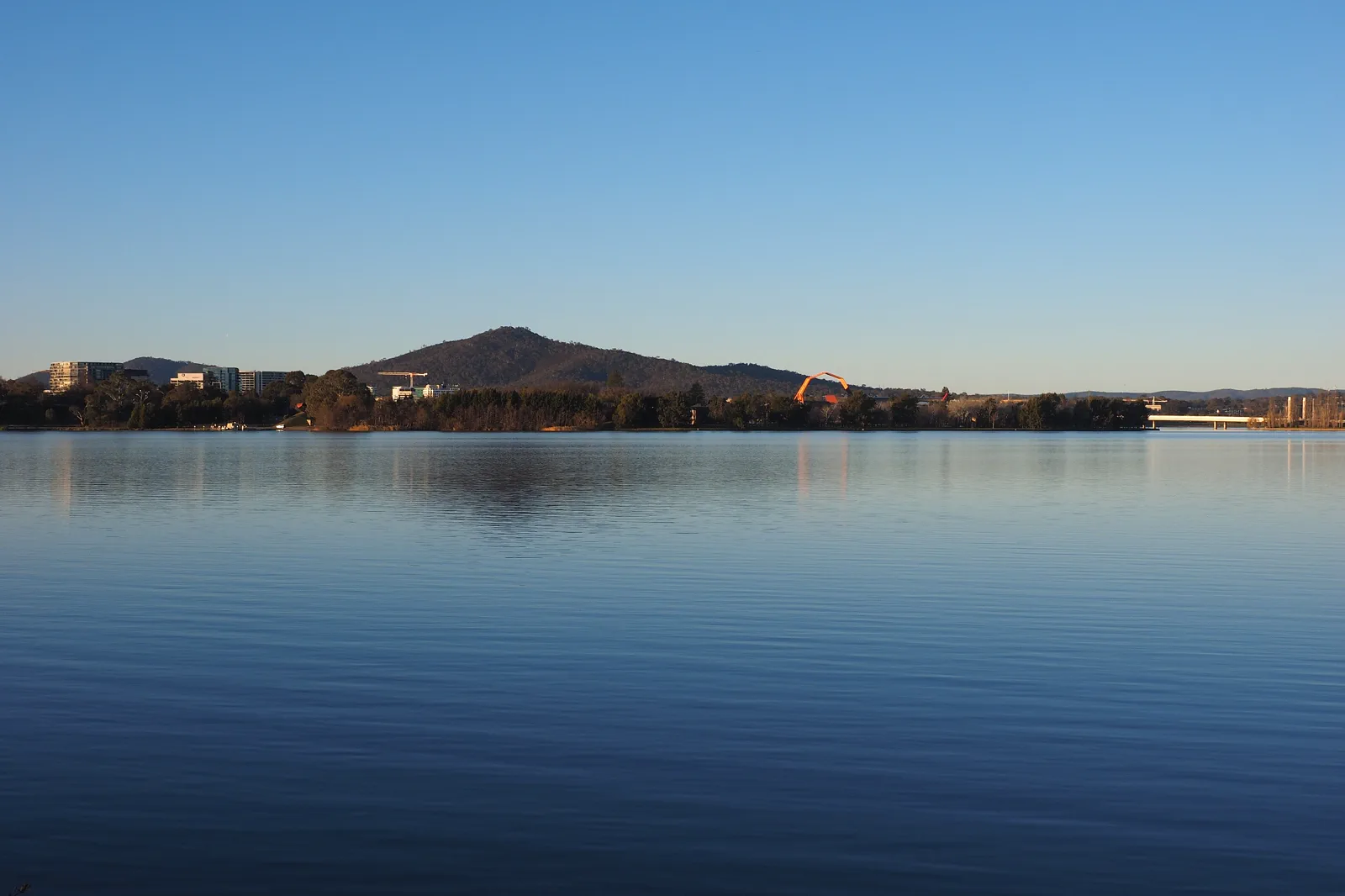
Lake Burley Griffin & National Museum
Use National Museum of Australia on Acton Peninsula as the anchor, then add one short West Basin shoreline walk.
Open the field guide →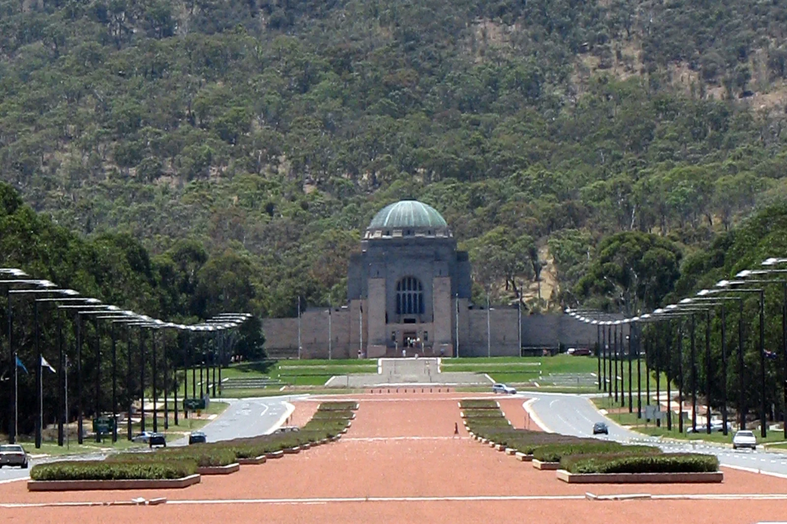
Australian War Memorial & Mount Ainslie
Give the Australian War Memorial its own quiet visit, then decide whether the Mount Ainslie summit walk, road…
Open the field guide →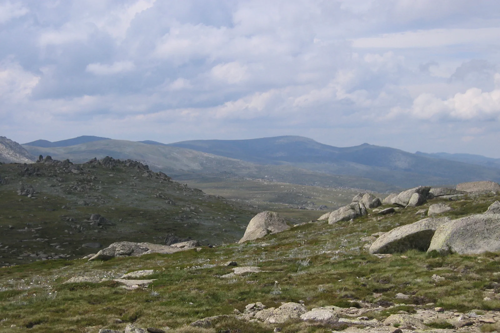
Snowy Mountains & Kosciuszko
Treat Kosciuszko as a separate regional leg, not a Canberra day trip.
Open the field guide →Namadgi National Park FAQ
How many nights should I stay for Namadgi?
Keep a Canberra base for at least the night before a one-day walk; two nights give a weather buffer without moving accommodation. Add camping nights only after confirming the exact campground booking, fire rules, water and access.
Which Namadgi walk suits a shorter day?
The official Woodland Walk is a 1km Grade 2 loop from the Visitor Centre, usually 30–45 minutes. For a larger day, Square Rock is 10km return from Corin Road (about 4 hours, Grade 3), while Yankee Hat is 6.5km return from Old Boboyan Road (about 3 hours, Grade 3).
Do I have to climb all of Mount Tennent?
No. Parks ACT lists a 4.5km return, two-hour Grade 4 walk to Cypress Pine Outlook from the Visitor Centre, and a separate 15km, six-hour summit return. Treat the outlook as the turnaround, not a promise to continue.
What if the road, track or weather closes my choice?
Do not bypass a closure or switch to an unverified spur. Check another official route from a different open approach only if there is enough daylight, or return to Canberra. On 13 October 2026 the official track list marked Gibraltar Falls Lookout closed until further notice; recheck before travel.
Can I bring a dog?
Parks ACT says dogs are not allowed in Namadgi except in vehicles travelling between the ACT and NSW on Boboyan or Brindabella Roads. Plan the visit without a dog outside that transit exception.
Is Namadgi a reasonable same-day visit from Canberra?
Yes for one trail with an early departure and a return margin. It is not a quick add-on: check the exact trailhead drive, carry supplies, record your walk and be back before dusk.
Official sources and photo credits
Planning facts and image licenses were reviewed on 13 October 2026. Access, weather, transport, fire, marine and operator conditions change; verify directly before travel.
- Parks ACT — Namadgi walks, current trail status, grades and distances.
- Parks ACT — park access, Ngunnawal Country, fire recovery and visitor preparation.
- Parks ACT — alerts and closures; recheck the selected route.
- ACT Emergency Services Agency — fire danger, warnings and emergency advice.
- Bureau of Meteorology — Canberra forecast and warnings.
- Exterior of Parliament House, Canberra, 2022, 01.jpg — Kgbo, CC BY-SA 4.0. Resized, display-cropped and converted to WebP; no other material edits.
- Part of the western section of Lake Burley Griffin June 2017.jpg — Nick-D, CC BY-SA 4.0. Resized, display-cropped and converted to WebP; no other material edits.
- Canberra - War Memorial 1.jpg — Nicholas Brown, CC BY 2.0. Resized, display-cropped and converted to WebP; no other material edits.
- Mount Ginini - Namadgi National Park - 2.jpg — Dfrg.msc at English Wikipedia, Public domain. Resized, display-cropped and converted to WebP; no other material edits.
- Snowy Mountains as seen from Kosciuszko Lookout.jpg — Cimexus from Canberra, Australia, CC BY 2.0. Resized, display-cropped and converted to WebP; no other material edits.