Boorloo / Perth City & Elizabeth Quay river-city bearings.
A self-guided central Boorloo day links Perth Station, the Perth Cultural Centre, St Georges Terrace and Elizabeth Quay while keeping Whadjuk Noongar Country and the Swan River in view.
Best for rain, heat relief, families and visitors who want Western Australian collections; budget a substantial indoor block and check the current exhibition calendar.
Best for a short central walk and skyline orientation; less suitable in strong sun, rain or major quay events, so use the station-to-station version.
Central Perth serves rail, museum and river days; Fremantle adds another train leg and is more useful when port heritage or a Rottnest terminal there is the priority.
Use the rail station as the hinge, not the whole itinerary.
Perth Station and Elizabeth Quay Station are different stops on the central rail network. For a collection-led route, use Perth Station to reach WA Museum Boola Bardip in the Cultural Centre, then walk south through the CBD toward the river. For a shorter river day, use Elizabeth Quay Station as the start/end anchor and leave the museum for rain or heat. Do not walk both banks as if the river edge were one compact block.
Perth Station → Boola Bardip → Elizabeth Quay
Arrive at Perth Station
Check the live network, exits and lift status. Use the Cultural Centre approach for the museum; the station name alone does not identify the quay.
Choose the indoor anchor
At Boola Bardip, check the official exhibitions and admission terms. If the program or opening day does not fit, make this a CBD and river walk rather than forcing a closed venue into the day.
Walk south to the inlet
Use public CBD streets toward Barrack Street and Elizabeth Quay. Stay on signed pedestrian paths around ferry berths and event setup; shorten the walk if the weather turns.
Return from the right node
Use Elizabeth Quay Station / Busport for the central return, or board a Swan River service only if the operator, destination and return timing are confirmed.
Three reasons to change the plan.
Heat and UV
The river edge is exposed. Shift the museum earlier, carry water and use the short station-to-station route when heat makes an open-ended foreshore walk a poor choice.
Event and access changes
Quay events, construction and station works can alter paths or exits. Check City of Perth notices and Transperth before relying on a familiar crossing.
Wrong rail anchor
Perth Station and Elizabeth Quay are not interchangeable. Pin the museum, ferry berth or final station entrance, especially when using mobility aids.
Access is never implied by proximity.
Perth / Boorloo is Whadjuk Noongar Country. Use Whadjuk-led sources for cultural context, follow any site-specific directions, and do not enter event infrastructure, marina work areas or restricted river edges.
Four related field chapters.
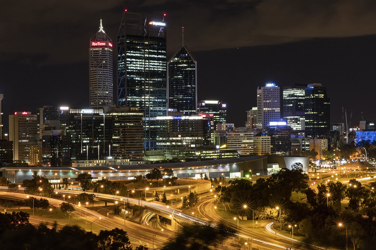
Kings Park & Botanic Garden
A botanic and bushland chapter balancing formal garden, escarpment views and conservation tracks with heat and…
Open the field guide →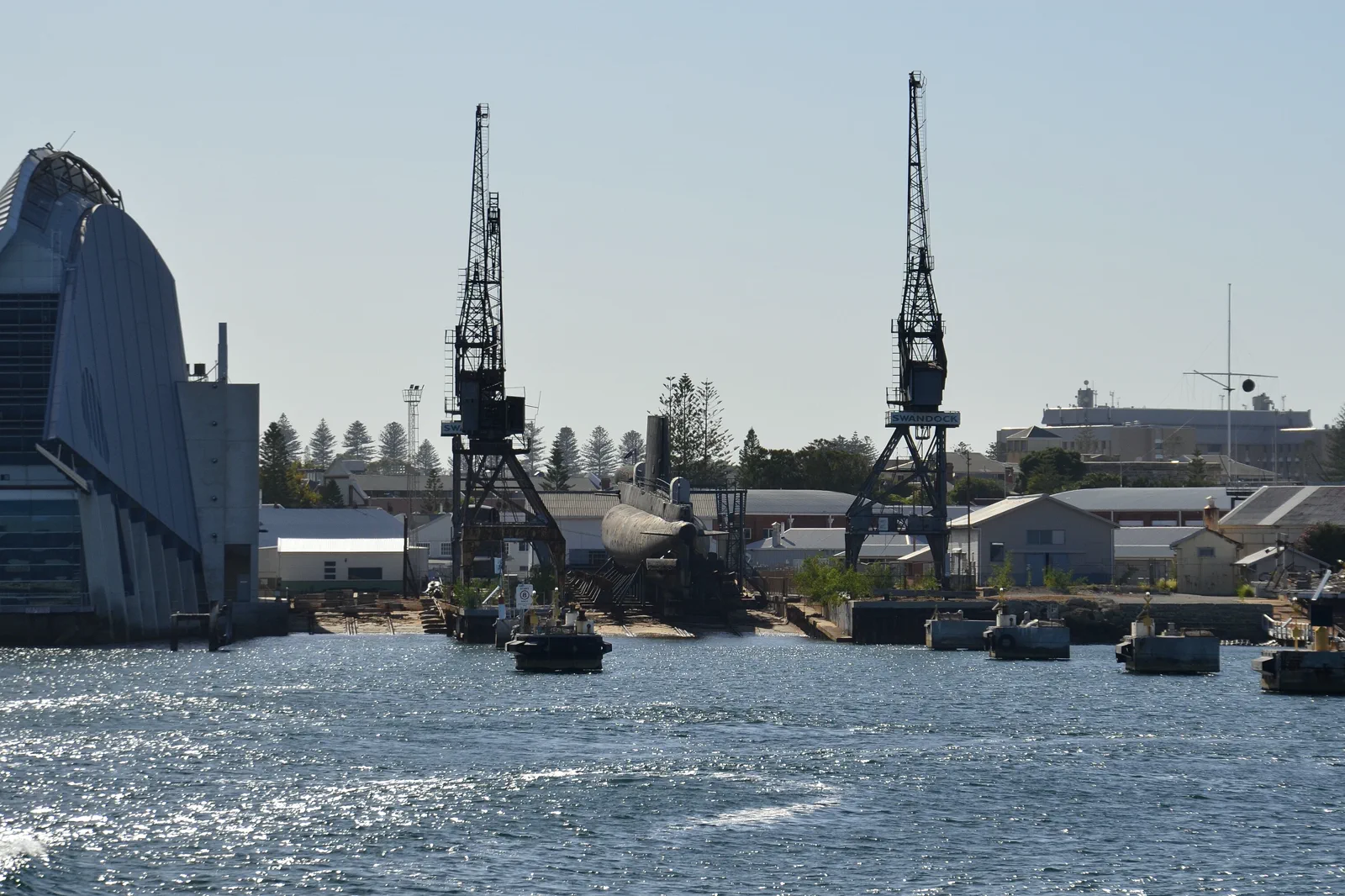
Walyalup / Fremantle
A Walyalup / Fremantle walking day follows the Fremantle Line from Perth, then chooses one major heritage…
Open the field guide →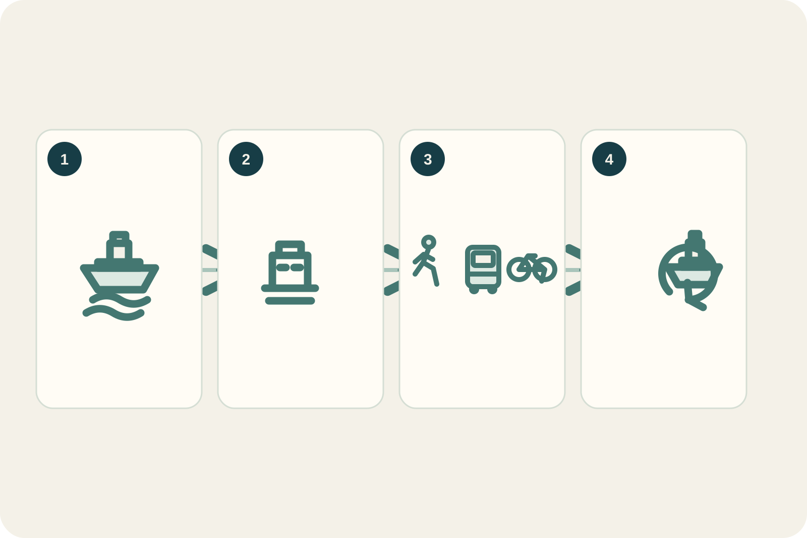
Wadjemup / Rottnest Island
Plan Wadjemup / Rottnest around the booked crossing, a realistic island sector where few cars are permitted,…
Open the field guide →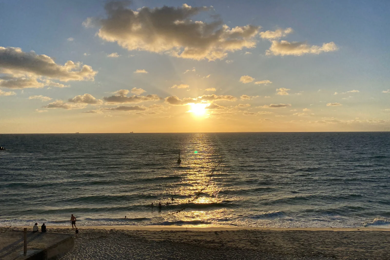
Cottesloe & Scarborough Coast
An urban coast chapter selected by rail or bus access, patrol, afternoon wind and a transport return after…
Open the field guide →Boorloo / Perth City & Elizabeth Quay FAQ
Is Perth Station the same as Elizabeth Quay Station?
No. Use Perth Station for the Cultural Centre and the north CBD approach; use Elizabeth Quay Station or Busport for the inlet and southern CBD. Check the exact station and exit on the current Transperth map before choosing a walking route.
What is the best rainy-day alternative?
Make WA Museum Boola Bardip the main visit and use its live exhibition and access pages to choose a collection. Keep the Elizabeth Quay walk optional; do not replace a cancelled outdoor segment with a second venue unless its hours and booking fit.
Can I add Fremantle to this route?
You can travel there by the Fremantle Line, but the extra rail leg makes this a city-plus-port day. If a museum visit is the purpose, finish the city route and give Fremantle a separate day; if the city visit is only the short river line, check the live connection and last return first.
How much walking is involved?
The station-to-museum-to-quay route is a city walk with several blocks and open river exposure, not a single platform transfer. Use the museum’s access page and Transperth’s current journey planner to tailor a step-free route or shorten the outing.
Official sources and photo credits
Planning facts and image licenses were reviewed on 10 October 2026. Access, weather, transport, fire, marine and operator conditions change; verify directly before travel.
- Western Australian Museum — Boola Bardip visit, exhibitions and access.
- Transperth — journey planner, maps and disruptions.
- Tourism Australia — Perth / Boorloo.
- City of Perth — events, notices and city services.
- DBCA — Swan Canning Riverpark.
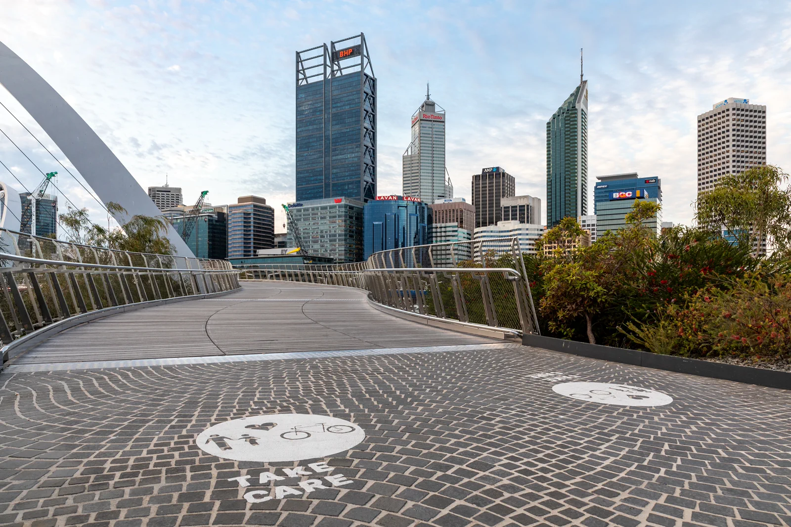
- Perth (AU), Elizabeth Quay Bridge -- 2019 -- 0252.jpg — Dietmar Rabich, CC BY-SA 4.0. Resized, display-cropped and converted to WebP; no other material edits.
- Perth skyline from Kings Park.jpg — Bidgee, CC BY-SA 3.0 au. Resized, display-cropped and converted to WebP; no other material edits.
- Western end of Fremantle harbour in the morning.jpg — JarrahTree, CC BY 2.5 au. Resized, display-cropped and converted to WebP; no other material edits.
- TripDistill original Wadjemup ferry-day planning diagram — TripDistill Editorial Team, Project original; no separate reuse license declared. Planning diagram only; it is not a geographic map and shows no scale, bearing, distance, or actual route.
- AUS Perth, Cottesloe, Cottesloe Beach 052.jpg — -wuppertaler, CC BY 4.0. Resized, display-cropped and converted to WebP; no other material edits.