Kings Park & Botanic Garden city-bushland overlook.
Kings Park is a large landscape, not a single lookout. Choose Fraser Avenue and one garden or bushland section, then match the return to route 935, the Blue CAT or the exact parking zone and its current notices.
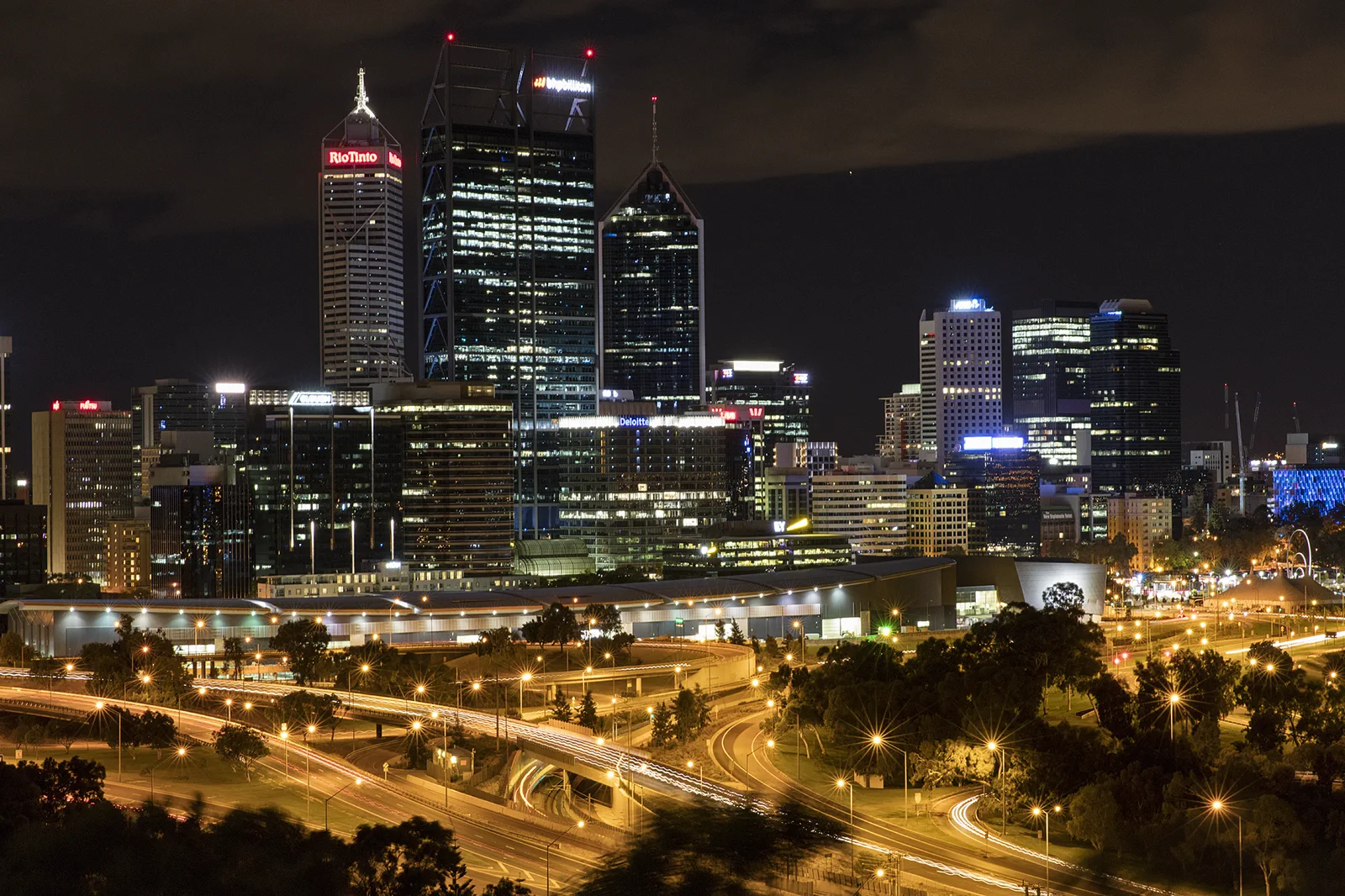
Choose this for the War Memorial, central views or nearby garden paths. Route 935 serves the precinct from St Georges Terrace; confirm the correct service variant and return stop.
Choose this if a bus from Perth Busport, Perth Station or Elizabeth Quay best fits your base. Use the live map and select one stop and one walk, such as the Federation Walkway, before adding more distance.
Choose a signed visitor car park near the intended precinct and obey the displayed limit. Some current weekday zones allow four hours; the free park visitor parking is not a park-and-ride facility.
Choose a named precinct before you enter the park.
Kings Park and Botanic Garden covers a broad escarpment above Boorloo / Perth. The meaningful plan is not “walk around the park”: pick a starting precinct, one interpretation goal and the way back. Route 935 from St Georges Terrace travels into the Fraser Avenue Precinct; check the operator’s current stop and direction before boarding. The 935D service is a different variant and terminates on Malcolm Street by Parliament House, so a bus with “935” on the screen may still leave you outside the park. The Blue CAT serves Kings Park from Perth Busport via Perth Station and Elizabeth Quay. Once inside, most park movement is on foot along shared paths. The Lotterywest Federation Walkway is a bounded option: the manager describes a 620 m route and 40-minute return, open daily 9 am–5 pm. The walkway is wheelchair accessible, though assistance may be needed on the raised arch. This makes a useful visit for visitors who want a defined garden walk rather than an all-day bushland circuit.
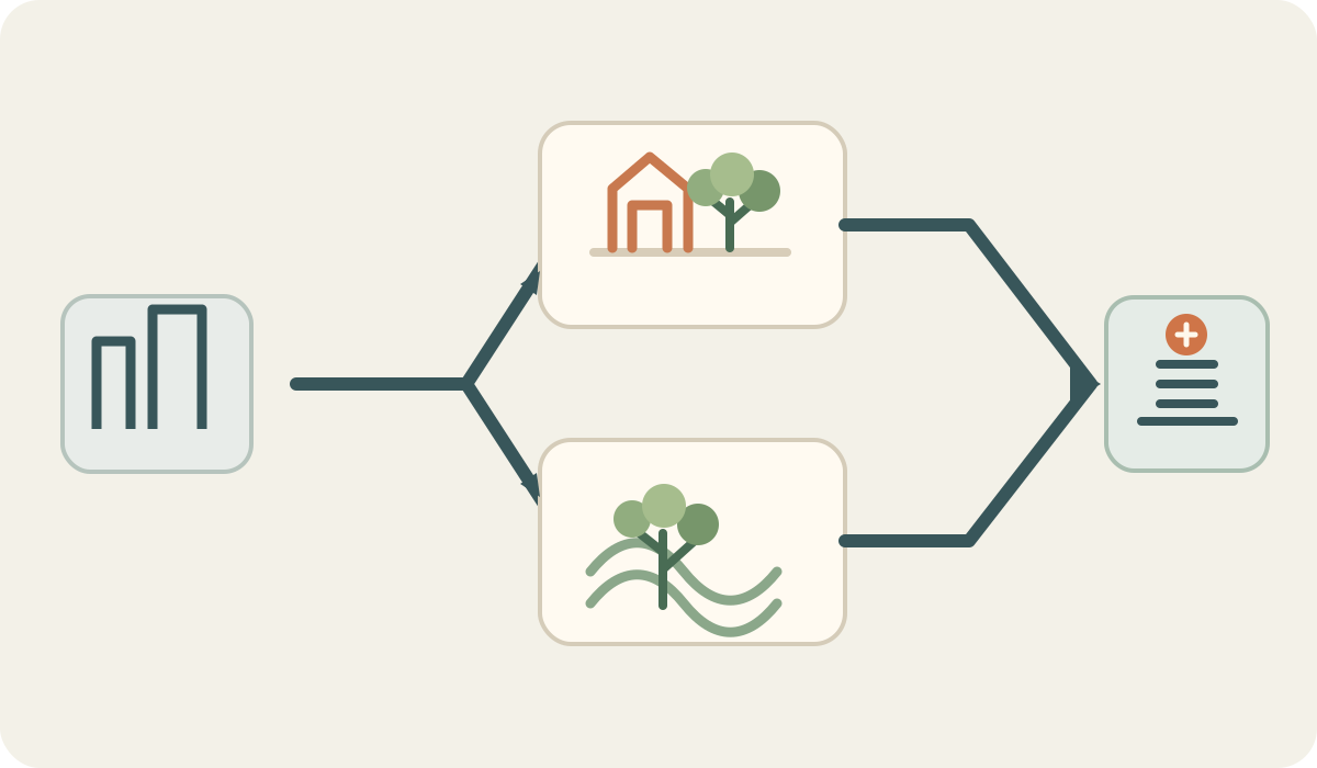
Perth → named park entry → one garden or bushland loop → same return node
Select the arrival stop
Use route 935 to Fraser Avenue, the Blue CAT to a Kings Park stop, or a visitor car park. Check the exact 935 variant: 935D terminates on Malcolm Street and is not the Fraser Avenue service.
Choose one landscape
Use the park map to select the Botanic Garden, Federation Walkway or one bushland trail. If you need a defined accessible walk, the Federation Walkway’s official page lists its length, 40-minute return, daily 9 am–5 pm hours and assistance caveat at the arch.
Check conditions and notices
Review park alerts, path and event notices, current fire advice and the forecast before crossing the open escarpment. If a notice closes the route or heat makes it unsafe, turn back or switch to an indoor Perth visit.
Return from the correct side
Go to the stop or car park you selected and verify the live service. Keep enough time to walk back; the park’s size and uphill city connections make a distant exit a poor last-minute choice.
Make one connection and one return decision.
This symbol-only schematic compares planning choices; it is not a road, track or timetable map. Confirm today’s access and return before you travel.
Three reasons to change the plan.
Similar bus numbers, different endpoints
The route 935D variant ends on Malcolm Street by Parliament House. Verify the service label and stop instead of assuming every 935 reaches Fraser Avenue.
Heat, fire and changing access
Exposed views, bushland and park paths are affected by weather, fire advice, restoration work and events. Check the authority’s live notices and fire sources; obey barriers and keep water and shade breaks in the plan.
Parking limits and a long walk back
Four-hour weekday restrictions apply in some signed areas; leaving the park while the car remains there is not allowed. Walk-in access from the CBD includes grades. Use a mapped route and a return node that fits the least mobile visitor.
Access is never implied by proximity.
Kings Park sits on Whadjuk Noongar Country and includes protected bushland, living cultural heritage and public memorial places. Use the authority’s interpretation and cultural guidance, give visitors and ceremony space, and do not remove plants, seeds or natural material. Follow restoration barriers and park staff instructions. A lookout or a line on a map does not imply access to the escarpment or a closed path.
Four related field chapters.
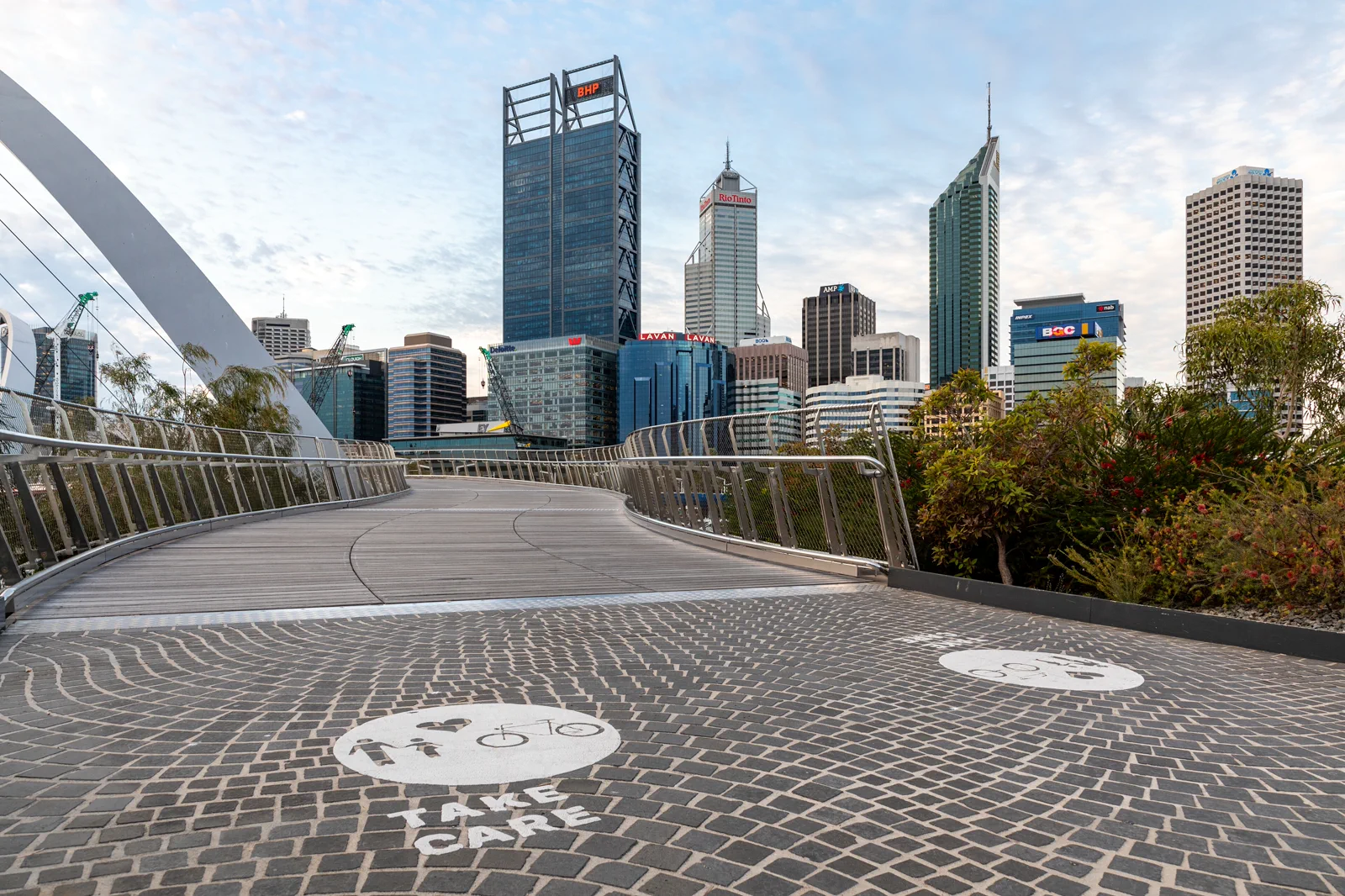
Boorloo / Perth City & Elizabeth Quay
A self-guided central Boorloo day links Perth Station, the Perth Cultural Centre, St Georges Terrace and…
Open the field guide →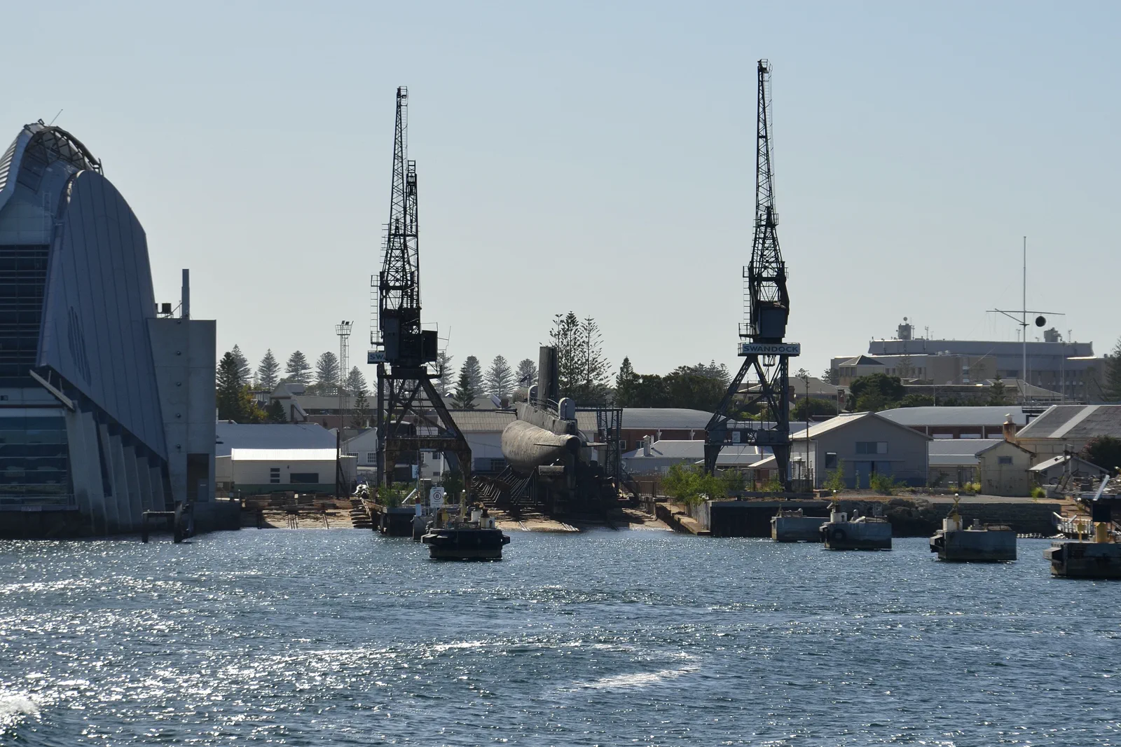
Walyalup / Fremantle
A Walyalup / Fremantle walking day follows the Fremantle Line from Perth, then chooses one major heritage…
Open the field guide →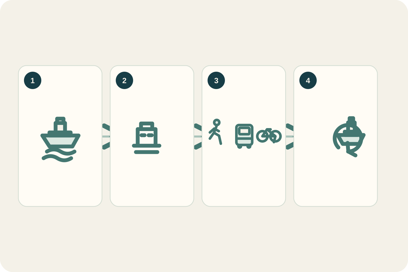
Wadjemup / Rottnest Island
Plan Wadjemup / Rottnest around the booked crossing, a realistic island sector where few cars are permitted,…
Open the field guide →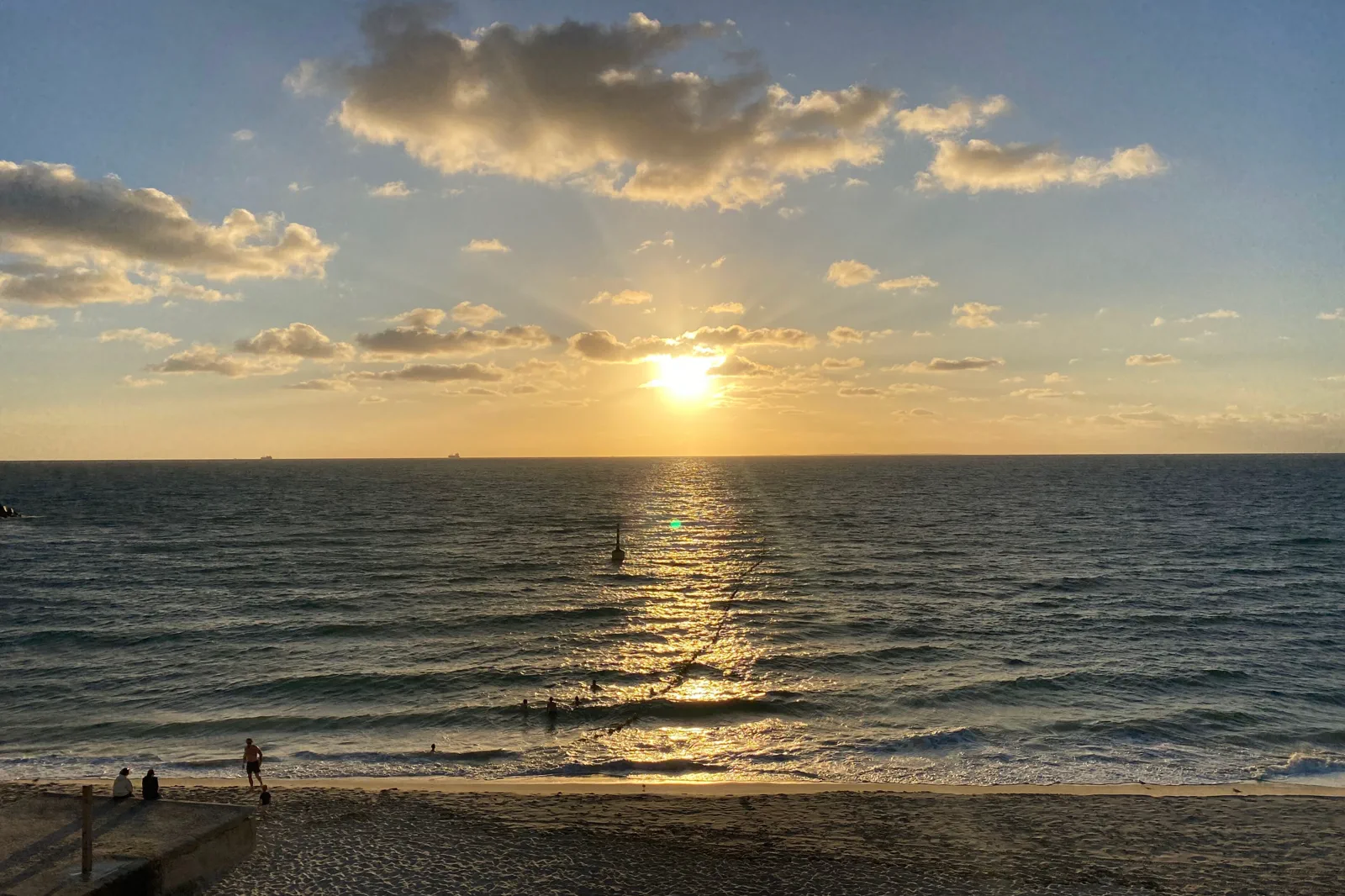
Cottesloe & Scarborough Coast
Choose one Perth coast by its last mile: Cottesloe via the Fremantle Line and a walk or route 102, or…
Open the field guide →Kings Park & Botanic Garden FAQ
Does route 935 always stop inside Kings Park?
Route 935 serves the Fraser Avenue Precinct, but the 935D variant terminates on Malcolm Street near Parliament House. Check the displayed service suffix and the live stop list for your date before boarding.
How much can I fit in a half day?
Choose one precinct and a single loop. The Federation Walkway is a 40-minute return option open daily 9 am–5 pm; use its official accessibility notes and add only one nearby lookout or garden section. The broader park has many paths beyond this compact visit.
Can I leave my car in the park and ride elsewhere?
No. The park authority says visitor parking is for people visiting the park and cannot be used as park-and-ride parking. Some signed car parks also have four-hour weekday limits, so read the sign at the exact bay.
What is the easy weather backup?
Shorten or skip the exposed walk and visit an indoor Perth attraction such as WA Museum Boola Bardip. Check the park notices and museum opening details separately; a path closure should not become a rushed attempt to cross another precinct.
Official sources and photo credits
Planning facts and image licenses were reviewed on 12 October 2026. Access, weather, transport, fire, marine and operator conditions change; verify directly before travel.
- Botanic Gardens and Parks Authority — route 935, 935D and Blue CAT access.
- Botanic Gardens and Parks Authority — park access, path and parking notices.
- Kings Park — Federation Walkway length, hours and accessibility.
- Botanic Gardens and Parks Authority — Kings Park map.
- Transperth — trip planner, timetables and service updates.
- Western Australian Museum — Boola Bardip visit and exhibitions.
- Bureau of Meteorology — Perth forecast.
- TripDistill original Kings Park entry and loop schematic — TripDistill Editorial Team, Project original; no separate reuse license declared. Planning schematic only; it is not a geographic map and shows no scale, bearing, distance, exact route or timetable.
- Perth (AU), Elizabeth Quay Bridge -- 2019 -- 0252.jpg — Dietmar Rabich, CC BY-SA 4.0. Resized, display-cropped and converted to WebP; no other material edits.
- Perth skyline from Kings Park.jpg — Bidgee, CC BY-SA 3.0 au. Resized, display-cropped and converted to WebP; no other material edits.
- Western end of Fremantle harbour in the morning.jpg — JarrahTree, CC BY 2.5 au. Resized, display-cropped and converted to WebP; no other material edits.
- TripDistill original Wadjemup ferry-day planning diagram — TripDistill Editorial Team, Project original; no separate reuse license declared. Planning diagram only; it is not a geographic map and shows no scale, bearing, distance, or actual route.
- AUS Perth, Cottesloe, Cottesloe Beach 052.jpg — -wuppertaler, CC BY 4.0. Resized, display-cropped and converted to WebP; no other material edits.