Cottesloe & Scarborough Coast Indian Ocean sunset line.
Choose one Perth coast by its last mile: Cottesloe via the Fremantle Line and a walk or route 102, or Scarborough via Stirling Station and Surf CAT. Confirm patrol flags, swell, wind and the actual return before staying for sunset.
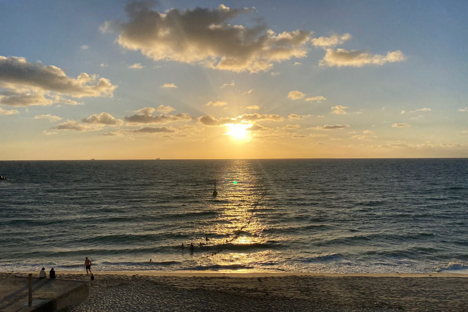
Choose it when the Fremantle Line and either the walk or route 102 fit your group. It works as a stand-alone beach visit; do not assume the station is on the sand or that every bus serves both the station and the promenade.
Choose it when the Yanchep Line and a direct Surf CAT transfer fit the day. Confirm the current stop, return frequency and any service changes before leaving Stirling Station.
Choose swimming only when the patrol is active and the flags are set, then follow the lifeguards. Wind, swell, heat or a closure can make a promenade visit or an indoor city alternative the better plan.
Pick the shoreline after you solve its last mile.
Cottesloe and Scarborough are two beach precincts, not adjacent stops in a neat evening loop. Cottesloe has a Fremantle Line station, but the station and bathing beach are separate points. Depending on heat, mobility and the day’s timetable, use a public walk or connect through the current route 102 service to Marine Parade / Grant Street; the timetable also names Cottesloe Station. Scarborough works through a different chain: train to Stirling Station, then the Surf CAT bus to Scarborough Beach. The Public Transport Authority describes the Surf CAT as a daily service running direct from Stirling Station, free and up to every ten minutes during peak periods. Schedules still change. Transperth listed October bus changes effective 11 October 2026, so a February PDF or saved screenshot is only a reference, not the trip plan. Choose the beach that fits your actual arrival, access needs and return departure. Then check the beach and surf conditions. A glowing sunset is not a patrol schedule, and an urban beach is not a promise of calm water.
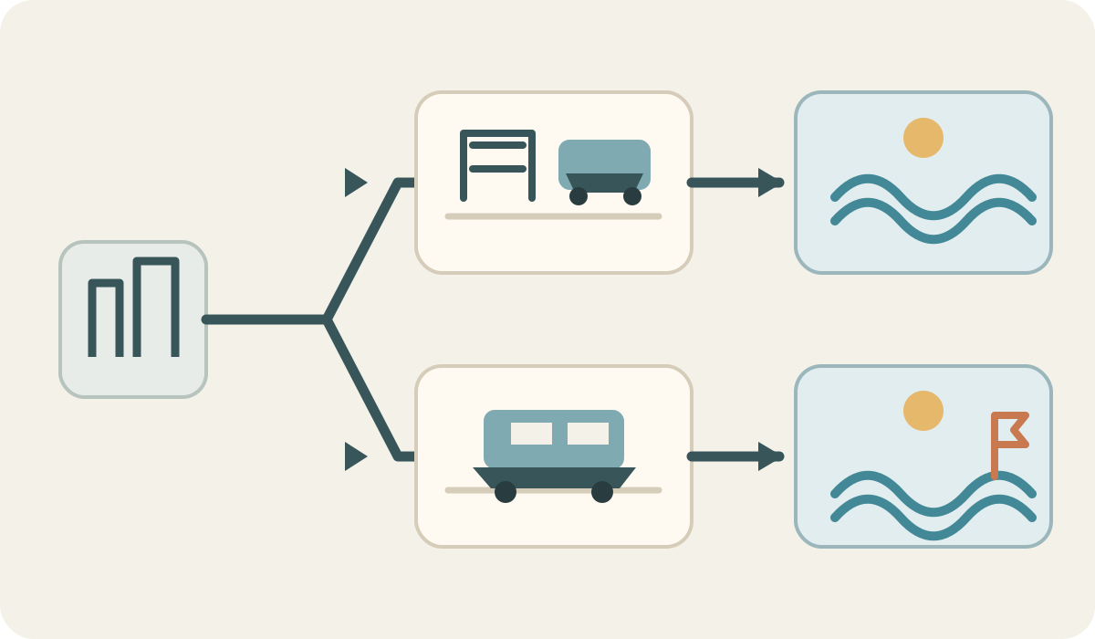
Perth → Cottesloe OR Scarborough → check flags and swell → named return stop
Choose the beach by connection
Cottesloe uses the Fremantle Line with a separate beach approach or route 102. Scarborough uses Stirling Station and the Surf CAT. Select one destination from the exact date-specific journey planner.
Pin the water and return nodes
Locate the patrolled access, flags, nearest stop and reverse service before taking the train. Check step-free access, beach notices, weather and the last useful connection.
Reassess before entering
Look for active red-yellow flags and follow the lifeguards. If flags are absent, surf is unsuitable or wind makes the shore uncomfortable, keep to the public promenade and do not enter the water.
Leave on the booked path
Recheck live train and bus changes before sunset. Board from the named stop while the return is comfortable; do not add a second beach or depend on a late, unverified connection.
Make one connection and one return decision.
This symbol-only schematic compares planning choices; it is not a road, track or timetable map. Confirm today’s access and return before you travel.
Three reasons to change the plan.
Flags, patrol and surf do not follow the sunset
Patrol hours and conditions vary by beach and day. Swim only between flags while lifesavers are supervising, follow their directions and treat no flags as a land-only visit. Check the beach safety page and current surf forecast.
Last-mile and service changes
The Cottesloe rail station is not the bathing beach; route 102 and walking are separate options. Scarborough uses Stirling Station and Surf CAT. October 2026 bus changes are already in effect, so refresh both outbound and return directions in Transperth.
Heat, wind and exposed sand
The coast can be bright and windy with little shade. Bring drinking water, sun protection and a sheltered break; shorten the walk or leave when weather, fatigue or a beach closure changes the risk.
Access is never implied by proximity.
These are working public coastlines on Whadjuk Noongar Country. Follow lifeguards, flags, signs and any beach closure; do not cross dune restoration barriers or enter the water from an unpatrolled stretch because it looks quieter. Keep dogs, boards and beach equipment under the local rules, and give residents, surf users and other visitors space. Use Country-led interpretation where offered; the ocean is a lived place as well as a view.
Four related field chapters.
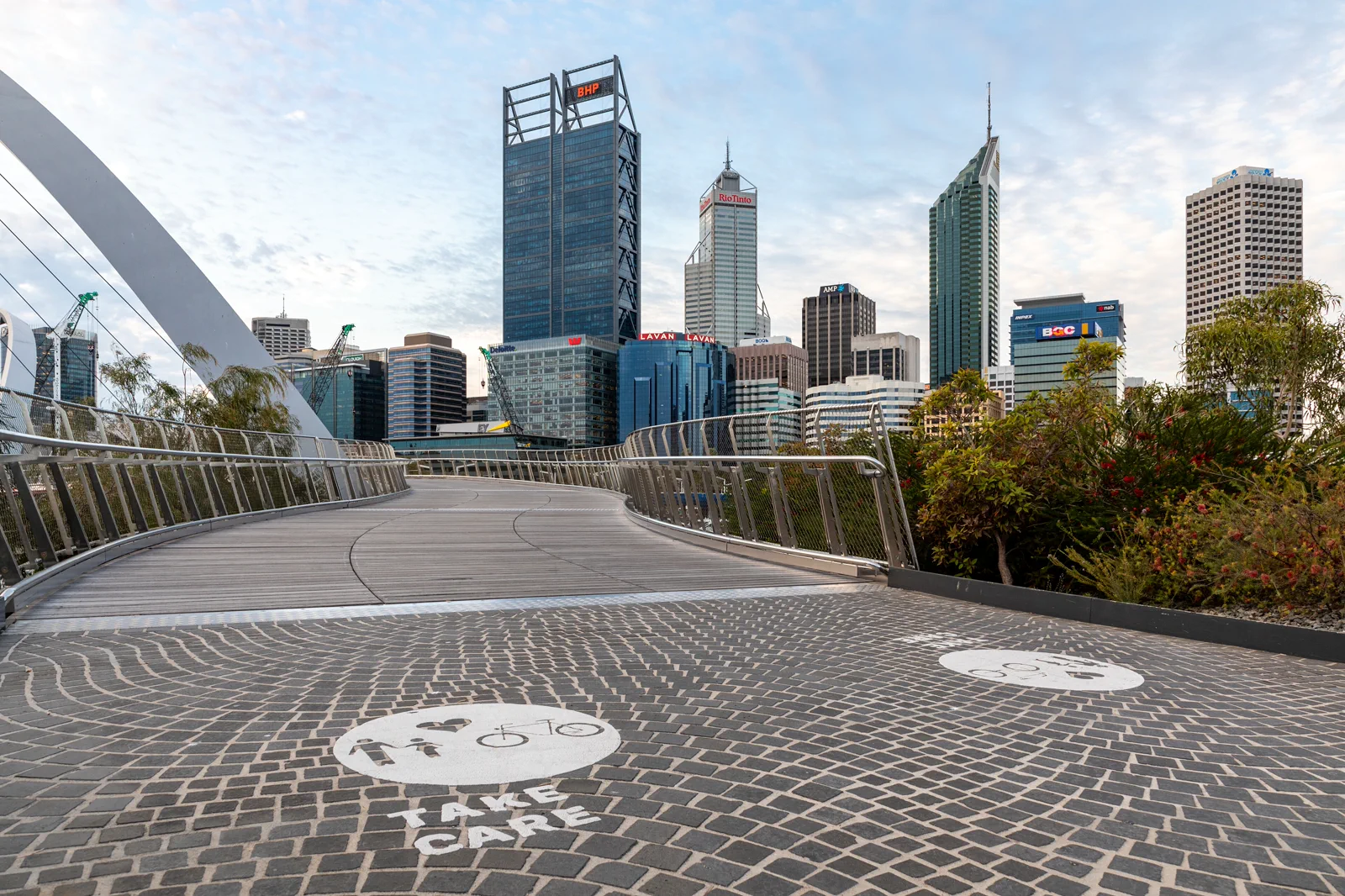
Boorloo / Perth City & Elizabeth Quay
A self-guided central Boorloo day links Perth Station, the Perth Cultural Centre, St Georges Terrace and…
Open the field guide →
Kings Park & Botanic Garden
Kings Park is a large landscape, not a single lookout.
Open the field guide →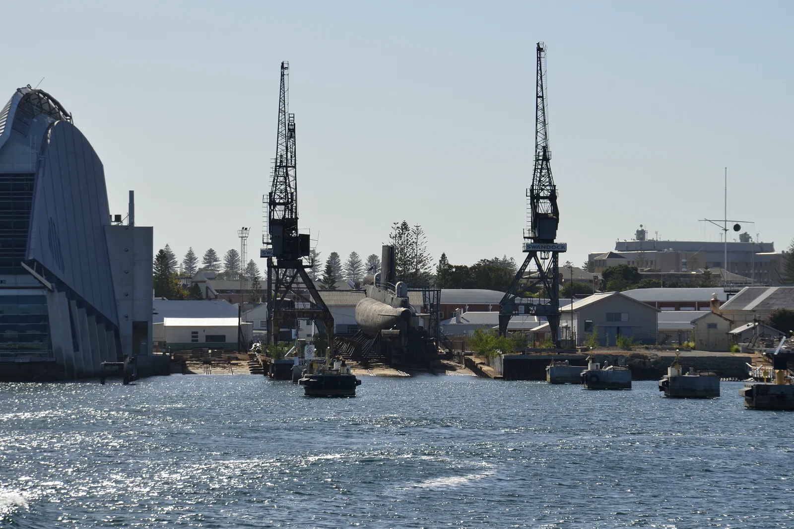
Walyalup / Fremantle
A Walyalup / Fremantle walking day follows the Fremantle Line from Perth, then chooses one major heritage…
Open the field guide →
Wadjemup / Rottnest Island
Plan Wadjemup / Rottnest around the booked crossing, a realistic island sector where few cars are permitted,…
Open the field guide →Cottesloe & Scarborough Coast FAQ
Which beach is easier without a car?
It depends on your starting point and the current service. Cottesloe combines the Fremantle Line with a separate walk or route 102 connection; Scarborough combines the Yanchep Line with the Surf CAT from Stirling. Compare the full return from your accommodation, including the stop-to-sand approach.
Can I swim after sunset?
Do not use sunset as a safety cue. Swim only between red and yellow flags while lifesavers are on patrol and follow their instructions. When flags are not present, make the visit land-based and check current beach advice.
Can I see both beaches in one afternoon?
That usually adds a cross-city transfer without improving the beach visit. Choose one coast, reserve time for the actual last mile and return, and give the other beach a separate day.
What should I do if the water is rough?
Stay out of the water and use a public promenade or a sheltered city alternative. Recheck the local beach notice and marine forecast; conditions can change after you have arrived.
Why not follow a saved timetable PDF?
Transperth’s published bus timetables have effective dates and the network lists planned service changes. A route may be familiar while the stop or departure changes. Refresh the journey planner for your exact day and check it again before leaving the beach.
Official sources and photo credits
Planning facts and image licenses were reviewed on 12 October 2026. Access, weather, transport, fire, marine and operator conditions change; verify directly before travel.
- Transperth — journey planner, current service updates and timetables.
- Transperth — Route 102 timetable and Cottesloe stops.
- Public Transport Authority WA — Surf CAT route and operating information.
- Beachsafe — Cottesloe Beach hazards and patrol information.
- Beachsafe — Scarborough Beach hazards and patrol information.
- Bureau of Meteorology — Perth forecast and coastal conditions.
- Western Australian Museum — Boola Bardip indoor visit.
- TripDistill original Cottesloe and Scarborough transit-choice schematic — TripDistill Editorial Team, Project original; no separate reuse license declared. Planning schematic only; it is not a geographic map and shows no scale, bearing, distance, exact route or timetable.
- Perth (AU), Elizabeth Quay Bridge -- 2019 -- 0252.jpg — Dietmar Rabich, CC BY-SA 4.0. Resized, display-cropped and converted to WebP; no other material edits.
- Perth skyline from Kings Park.jpg — Bidgee, CC BY-SA 3.0 au. Resized, display-cropped and converted to WebP; no other material edits.
- Western end of Fremantle harbour in the morning.jpg — JarrahTree, CC BY 2.5 au. Resized, display-cropped and converted to WebP; no other material edits.
- TripDistill original Wadjemup ferry-day planning diagram — TripDistill Editorial Team, Project original; no separate reuse license declared. Planning diagram only; it is not a geographic map and shows no scale, bearing, distance, or actual route.
- AUS Perth, Cottesloe, Cottesloe Beach 052.jpg — -wuppertaler, CC BY 4.0. Resized, display-cropped and converted to WebP; no other material edits.