Wadjemup / Rottnest Island ferry-bicycle island circuit.
Plan Wadjemup / Rottnest around the booked crossing, a realistic island sector where few cars are permitted, and time for its Whadjuk history—not a checklist of beaches or quokka photographs.
Best for history-focused or lower-exertion visitors staying near Thomson Bay; it gives a small geographic footprint and less transport setup, but does not reach distant bays.
Best for visitors who want several stops without cycling or who need to reduce heat and exertion. Check the current route, operating day and connection back to the settlement; do not use the island-wide map as a promise of service.
Best for confident riders who want flexible stops and can handle sun, wind, hills and road sharing. It adds hire/return logistics and effort; choose the settlement or bus instead if anyone is unsure or conditions deteriorate.
The terminal, not the map pin, sets the day.
Choose a ferry by departure point and actual ticket first: Perth City, Fremantle / Victoria Quay, North Fremantle / Rous Head and Hillarys are different mainland journeys, and published crossing times vary by terminal and conditions. The island arrival is at Thomson Bay. From there choose a settlement walk, the island bus, or cycling only if the group has the skill and weather capacity for exposed roads. A day visit should focus on one sector; accommodation allows a slower second sector but needs advance booking and a baggage plan.
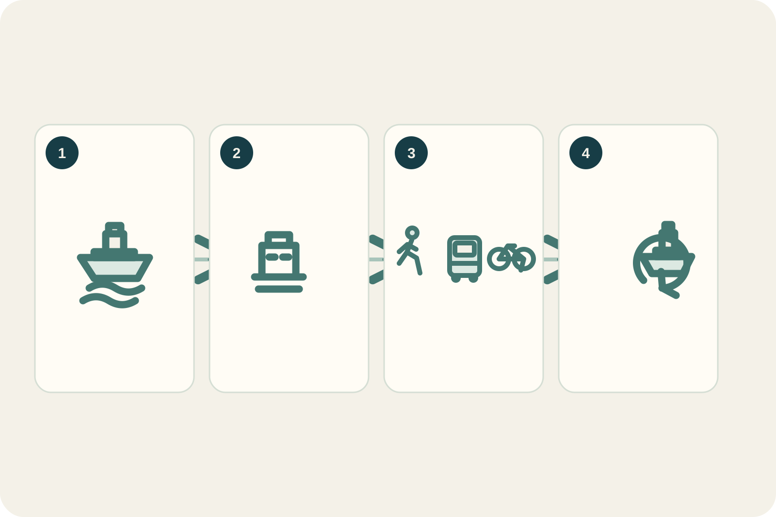
Named ferry terminal → Thomson Bay → one island sector → booked return
Match ticket and terminal
The island ferry guide lists multiple mainland departure points and seasonal/weather-variable timetables. Plan the rail or bus to the named pier, operator check-in, luggage and boarding gate from its current instructions.
Arrive at Thomson Bay
Use the settlement as the decision point. Review visitor information and Wadjemup history, collect any pre-booked bike, and reassess heat, wind and rain before choosing how far to go.
Choose a single mode
Walk locally for the museum and settlement, take the island bus for selected stops, or cycle only a route the group can ride safely. Do not improvise a full island loop on a hot or windy day.
Return with margin
Return the hire equipment and reach the correct ferry gate by the operator’s check-in time. If a crossing is cancelled, follow the operator/accommodation process; do not assume a same-day alternative boat or mainland connection.
Three reasons to change the plan.
Exposed effort
Sun, wind, hills, limited shade and road conditions increase cycling effort. Switch to a short settlement visit or bus plan and preserve water/rest time; current heat advice overrides the sightseeing list.
Wildlife and Country
A close selfie is not worth feeding, touching or surrounding a quokka. Observe from a respectful distance and follow all signs, cultural guidance and habitat protections.
Ferry disruption
The Authority states timetables vary by season and weather, and overnight cancellation arrangements depend on booking terms. Keep a mainland buffer when onward travel matters and read the operator’s cancellation policy before purchase.
Access is never implied by proximity.
Wadjemup / Rottnest is Whadjuk Noongar Country and a conservation island where few cars are permitted. Follow current cultural and heritage guidance, use formed roads and trails, never feed or touch quokkas, keep a respectful distance, and leave beach and reserve closures in force.
Four related field chapters.
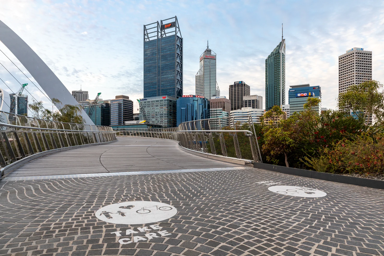
Boorloo / Perth City & Elizabeth Quay
A self-guided central Boorloo day links Perth Station, the Perth Cultural Centre, St Georges Terrace and…
Open the field guide →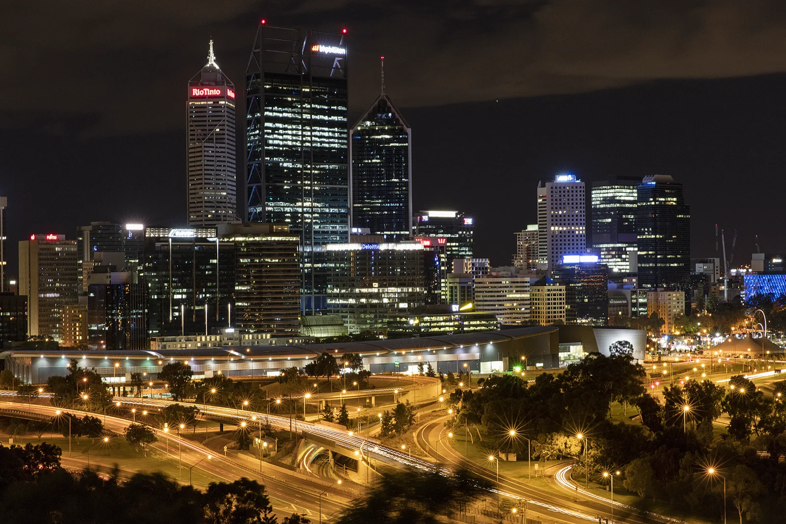
Kings Park & Botanic Garden
A botanic and bushland chapter balancing formal garden, escarpment views and conservation tracks with heat and…
Open the field guide →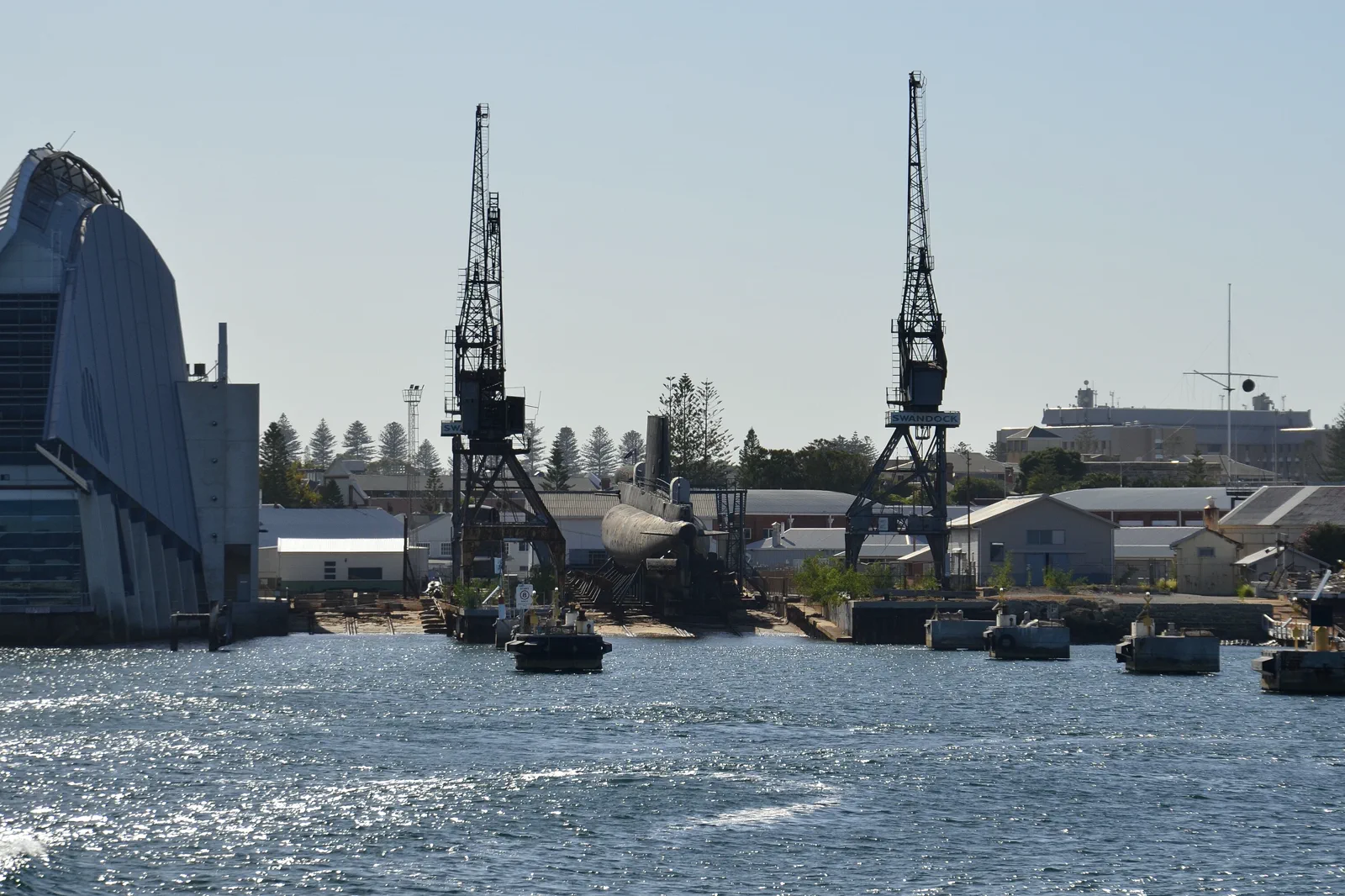
Walyalup / Fremantle
A Walyalup / Fremantle walking day follows the Fremantle Line from Perth, then chooses one major heritage…
Open the field guide →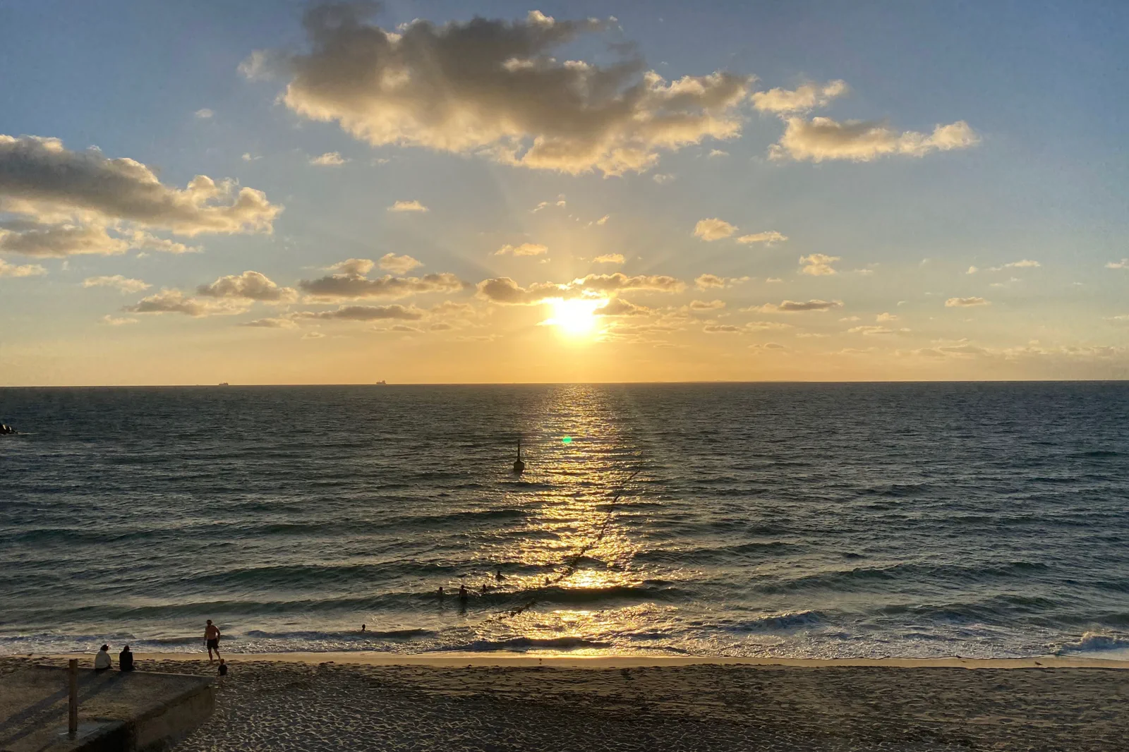
Cottesloe & Scarborough Coast
An urban coast chapter selected by rail or bus access, patrol, afternoon wind and a transport return after…
Open the field guide →Wadjemup / Rottnest Island FAQ
Which ferry terminal should I choose?
Choose by the complete mainland journey, not just crossing duration. Fremantle, North Fremantle, Perth City and Hillarys have different rail/bus approaches. Read the named terminal on the operator ticket, allow its check-in rule and compare the return to your hotel or next connection.
Do I need to cycle around the island?
No. The island authority lists walking, bicycles and buses; the settlement and nearby experiences can make a shorter visit worthwhile. Choose the bus or local walk when heat, wind, hills, mobility or riding confidence make a long cycle a poor fit.
What if wind or rain makes cycling unpleasant?
Switch to a settlement-centered visit or a current bus service, and use indoor interpretation where open. Check service operation and ferry status directly; if conditions affect the crossing, follow the operator’s cancellation and rebooking terms.
How should I meet quokkas?
Observe from a respectful distance and never feed, touch or crowd them. Keep the encounter brief and let the animal move freely; wildlife welfare and habitat matter more than a close photograph.
Can I day-trip the island and fully visit Fremantle too?
That is not a reliable full itinerary. The ferry consumes a large part of the day, and the port town has separate museums, tours and return travel. Give each destination its own day unless you deliberately plan a terminal-only stop.
Official sources and photo credits
Planning facts and image licenses were reviewed on 10 October 2026. Access, weather, transport, fire, marine and operator conditions change; verify directly before travel.
- Rottnest Island Authority — ferry terminals, check-in, timetables and cancellations.
- Rottnest Island Authority — cycling, walking, bus and accessibility.
- Rottnest Island Authority — Aboriginal history of Wadjemup.
- Rottnest Island Authority — Aboriginal culture.
- Rottnest Island Authority — island nature and wildlife.
- Rottnest Island Authority — practical visitor and safety advice.
- Perth (AU), Elizabeth Quay Bridge -- 2019 -- 0252.jpg — Dietmar Rabich, CC BY-SA 4.0. Resized, display-cropped and converted to WebP; no other material edits.
- Perth skyline from Kings Park.jpg — Bidgee, CC BY-SA 3.0 au. Resized, display-cropped and converted to WebP; no other material edits.
- Western end of Fremantle harbour in the morning.jpg — JarrahTree, CC BY 2.5 au. Resized, display-cropped and converted to WebP; no other material edits.
- TripDistill original Wadjemup ferry-day planning diagram — TripDistill Editorial Team, Project original; no separate reuse license declared. Planning diagram only; it is not a geographic map and shows no scale, bearing, distance, or actual route.
- AUS Perth, Cottesloe, Cottesloe Beach 052.jpg — -wuppertaler, CC BY 4.0. Resized, display-cropped and converted to WebP; no other material edits.