Han River & Da Nang City Core The working waterfront.
Build a walkable Da Nang day around the Han River, bridges, Cham sculpture and everyday waterfront life instead of a list of photo stops.
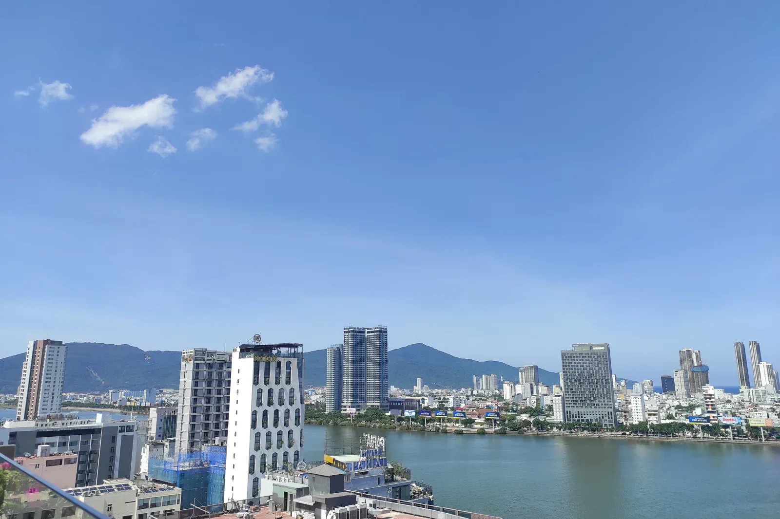
Use the airport, central hotels and ride-hailing network as practical anchors. Crossing roads, bridge traffic and event controls can matter more than the nominal distance between points.
Start with daylight on one riverbank, move through one museum or civic layer, pause for food, then return to the water after dark only where pedestrian access is clear.
Protect the river and collections: stay behind barriers, follow museum photography rules, keep clear of traffic and do not treat local people as background props.
Keep the local logic visible.
Da Nang’s identity is not only a beach resort skyline. The Han River connects civic spaces, bridges, food streets, fishing memory and Cham collections, giving a city chapter a useful human scale.
Let sequence do the editing.
Start with daylight on one riverbank, move through one museum or civic layer, pause for food, then return to the water after dark only where pedestrian access is clear.
Pick one bank
Choose a safe starting point and a return side before the walk; check heat, traffic and any bridge or event controls.
Read the city
Connect river edge, bridge structure, public space and food market to understand how Da Nang lives with its water.
Enter the archive
Use a museum or interpretation space to place Cham and modern city history in context rather than flattening them into decoration.
Close at the water
Return through a lit pedestrian route, keep valuables secure and leave enough time for traffic or a weather change before the next transfer.
Three weak points to solve.
Conditions change faster than an editorial page. Verify the named official source, actual operator and local weather close to travel.
Traffic crossings
Wide roads, scooters and bridge approaches require deliberate crossings; do not let a scenic viewpoint pull the group into a live lane.
Heat and storms
Central-coast heat, rain and event crowding can change a walking circuit; keep an indoor or shaded alternative.
Collection etiquette
Museum objects and sacred imagery have their own photography and conduct rules; follow staff rather than assuming every gallery is camera-ready.
Protect the river and collections: stay behind barriers, follow museum photography rules, keep clear of traffic and do not treat local people as background props.
Han River & Da Nang City Core FAQ
How much time should Han River & Da Nang City Core receive?
Use a half day for a compact river and culture walk, or a full day when the group wants separate daylight and evening readings.
Can I combine Han River & Da Nang City Core with another major chapter?
Combine with My Khe only if the beach is treated as a separate coast window; save Son Tra and Marble Mountains for their own access conditions.
What should I verify before leaving?
Check current museum hours, bridge or event restrictions, weather and the safest pedestrian route before leaving the hotel.
Choose the next chapter by purpose.
Return to the hub before joining distant branches into one day.
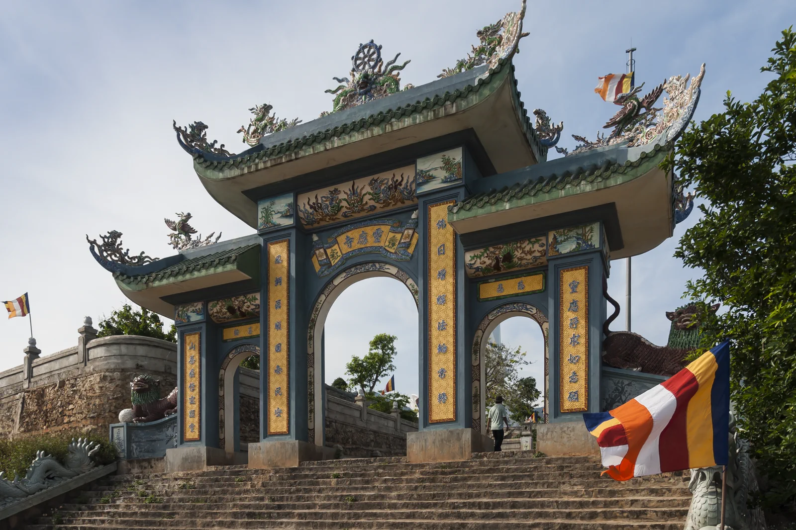
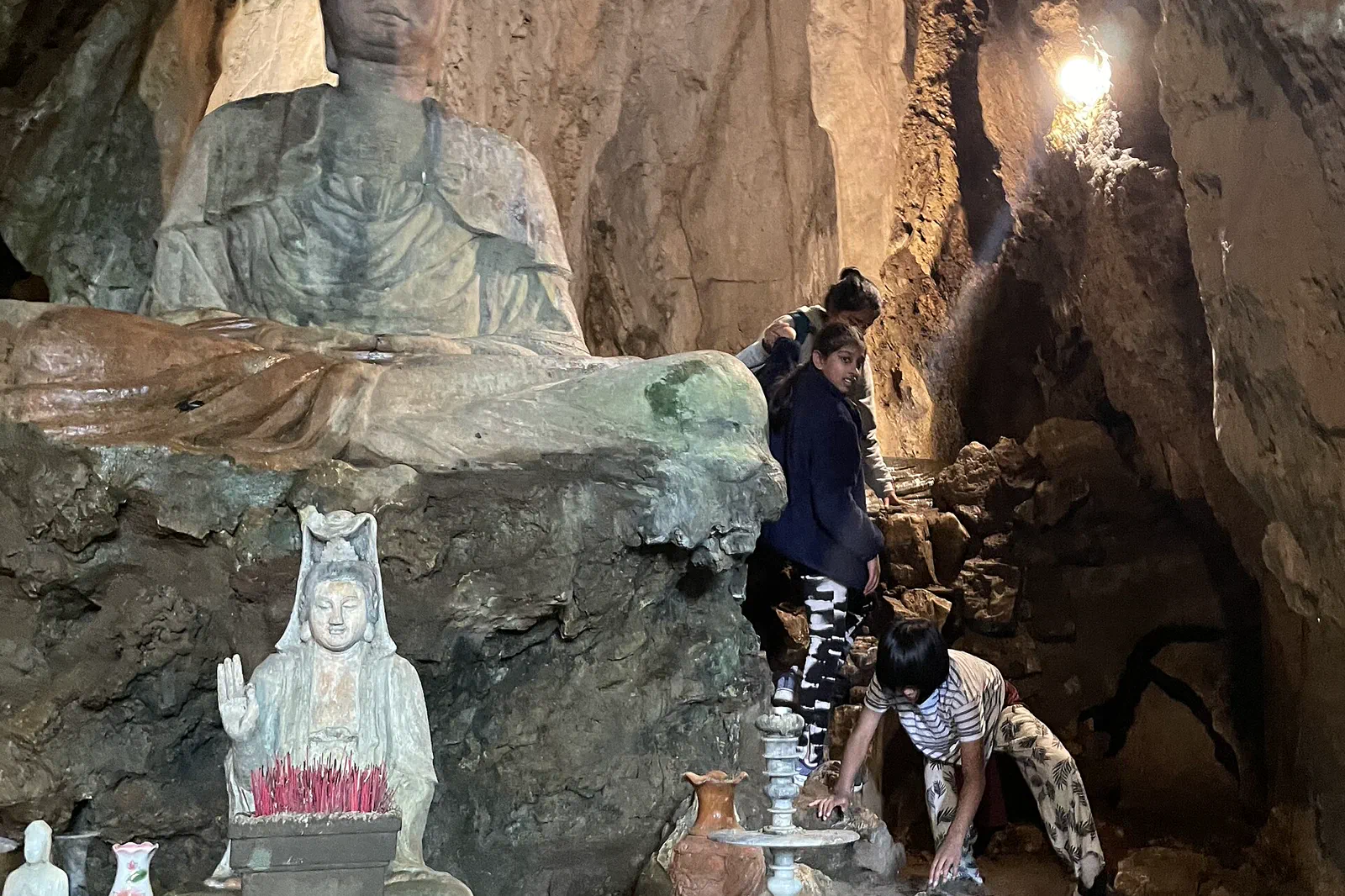
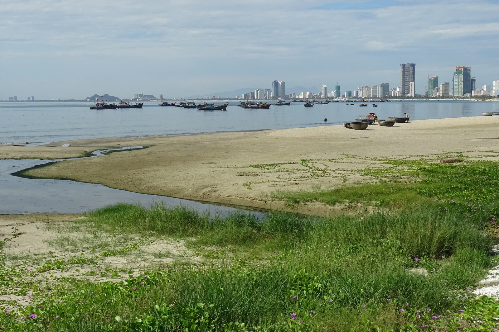
Official sources and photo credits
Planning facts and image licenses were reviewed on 31 August 2026. Schedules, access, tickets, weather and operator terms change; verify directly before travel.
- Vietnam Tourism — Da Nang transport, beach, Son Tra and Marble Mountains.
- UNESCO — Hoi An Ancient Town.
- UNESCO — My Son Sanctuary.
- Hoi An World Cultural Heritage Conservation Center — visitor announcement.
- Da Nang Tourism — Son Tra Peninsula.
- Han River, Da Nang — Somerset999, CC BY-SA 4.0. Resized, display-cropped and converted to WebP; no other material edits.
- Gate to Linh Ung Pagoda, Son Tra Peninsula — CEphoto, Uwe Aranas, CC BY-SA 3.0. Resized, display-cropped and converted to WebP; no other material edits.
- Marble Mountains, Ngu Hanh Son — Muralikrishna m, CC BY-SA 4.0. Resized, display-cropped and converted to WebP; no other material edits.
- My Khe Beach, Da Nang — Christophe95, CC BY-SA 4.0. Resized, display-cropped and converted to WebP; no other material edits.
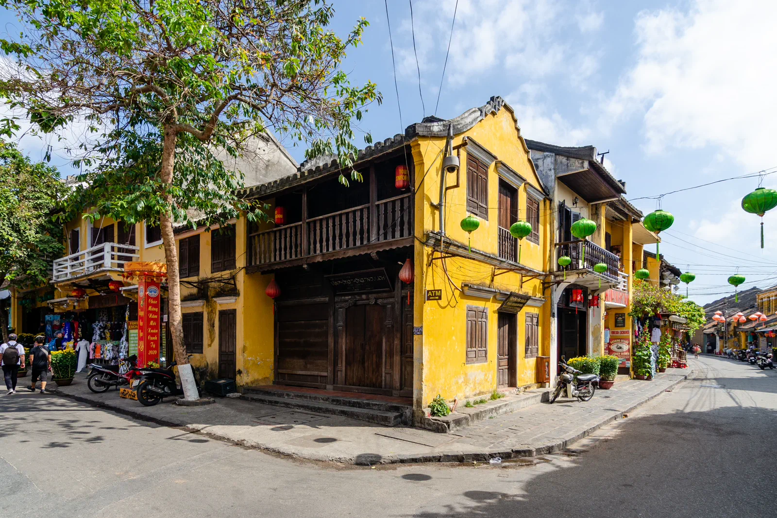
- Hoi An Ancient Town — Steffen Schmitz, CC BY-SA 4.0. Resized, display-cropped and converted to WebP; no other material edits.
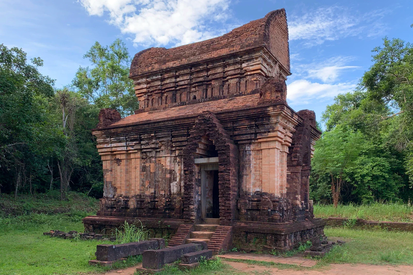
- My Son Sanctuary Temple E7 — Chainwit., CC BY 4.0. Resized, display-cropped and converted to WebP; no other material edits.