Gariwerd / Grampians mountain Country register.
A mountain destination with its own cultural landscape, fire risk and graded walks, not a detour squeezed behind the Twelve Apostles.
Use Halls Gap when the chosen open trail is in the central range. For northern or southern routes, compare the real drive from a gateway closer to that subregion; do not change bases every night unless it saves a genuine park-road leg.
Read the current alert and choose the trailhead first. As of 12 October 2026, Mackenzie Falls carpark and its precinct tracks were closed to all visitors through anticipated end-2026 works; use an alert-listed open site only after checking its own access.
For 13–14 October 2026, Redman Road Trailhead and Piccaninny East carpark have planned all-day closures, roads around reservoirs close and temporary holds affect listed tracks/camps. The alert names Victoria Valley Road as the access for Piccaninny summit; recheck the notice and weather contingency before leaving.
Choose the open trailhead before choosing the hike.
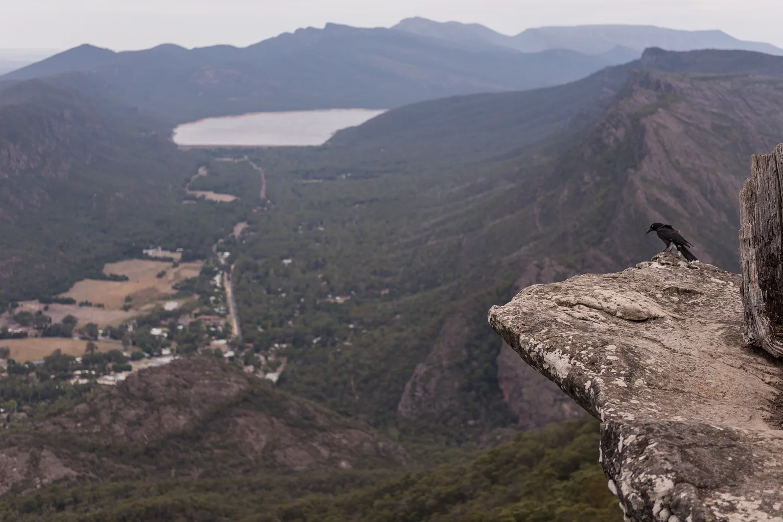
Gariwerd is a large Djab Wurrung and Jardwadjali cultural landscape with dispersed trailheads, not one walkable Halls Gap circuit. Use the park’s central, northern and southern divisions to choose one subregion and a base that shortens its actual road legs. Confirm the graded route, parking, cultural access and return before starting; a town bus or an old map is not a park shuttle. The retained photograph looks across Halls Gap from Boroka Lookout, which makes it a useful landscape cue rather than a guide to every peak or track.
A closed trailhead changes the whole day.
The visible cliff or waterfall is only the final step. Park access, fire status, the drive and the permitted cultural route determine what can be done.
Read the alert, drive to one open start and turn back on time.
Read Country and current closures
Start with Parks Victoria’s live park conditions and cultural interpretation. Remove any closed track from the plan before driving; for the 13–14 October 2026 helicopter dates, read the exact carpark, road and temporary-hold notices and their weather backup.
Match base, route and group
Select one park subregion, then compare walk grade, distance, elevation, exposure, water and the least mobile walker. Halls Gap is a practical central base, not a pickup for every remote track. If coach or tour travel is involved, confirm the return from the trailhead rather than only a ticket into town.
Use only the open approach
Park at the listed start, follow signs and Traditional Owner guidance, and stay on formed walking routes. As of this review Mackenzie Falls, its carpark and associated precinct tracks were under construction closure; do not approach the machinery or try the blocked river approach from Zumsteins.
Return before the range turns dark
Set a turnaround based on daylight, heat, cloud, wind and water remaining; descend to the same legal trailhead and drive back before wildlife movement intensifies. If the alert, fire danger or storm removes the margin, cancel the walk and use a confirmed town or open cultural interpretation option.
Three reasons to change the plan.
Fire and smoke
Extreme or Catastrophic ratings can close park sections and roads. Check the district rating and current warnings on the visit day; do not assume another track in the same park is a safe workaround.
Construction and changing trails
Mackenzie Falls precinct had no vehicle or visitor access during the planned 2026 works. Other named alternatives in the notice may change; verify their road, carpark and track status before setting out.
Exposure and cultural restriction
Heat, wind, storm, cliff edges and site-specific cultural rules can end a walk. Carry water and layers, stay behind barriers, leave sensitive sites unlocated online and turn around when a posted limit says to.
Access is never implied by proximity.
Gariwerd is living Country, not only a set of scenic assets. Follow Traditional Owner and Parks Victoria interpretation, stay on tracks, obey access and photography limits at rock art, and do not geotag sensitive cultural places. Never cross a barrier, enter a closed burn area or use a cultural site as a fallback after another track closes. Where a place is not expressly open to visitors, select a permitted public route instead.
Four related field chapters.
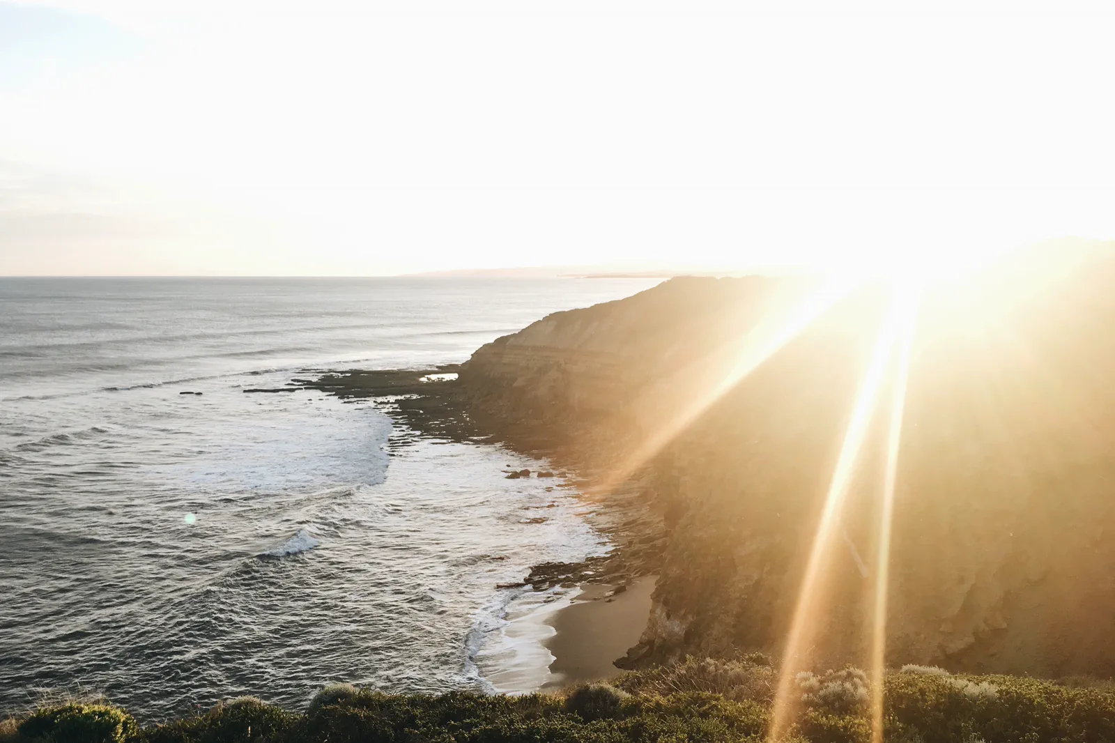
Torquay & Bells Beach
Start the coast with Torquay’s practical town services, a formal Bells Beach viewpoint and a deliberate choice…
Open the field guide →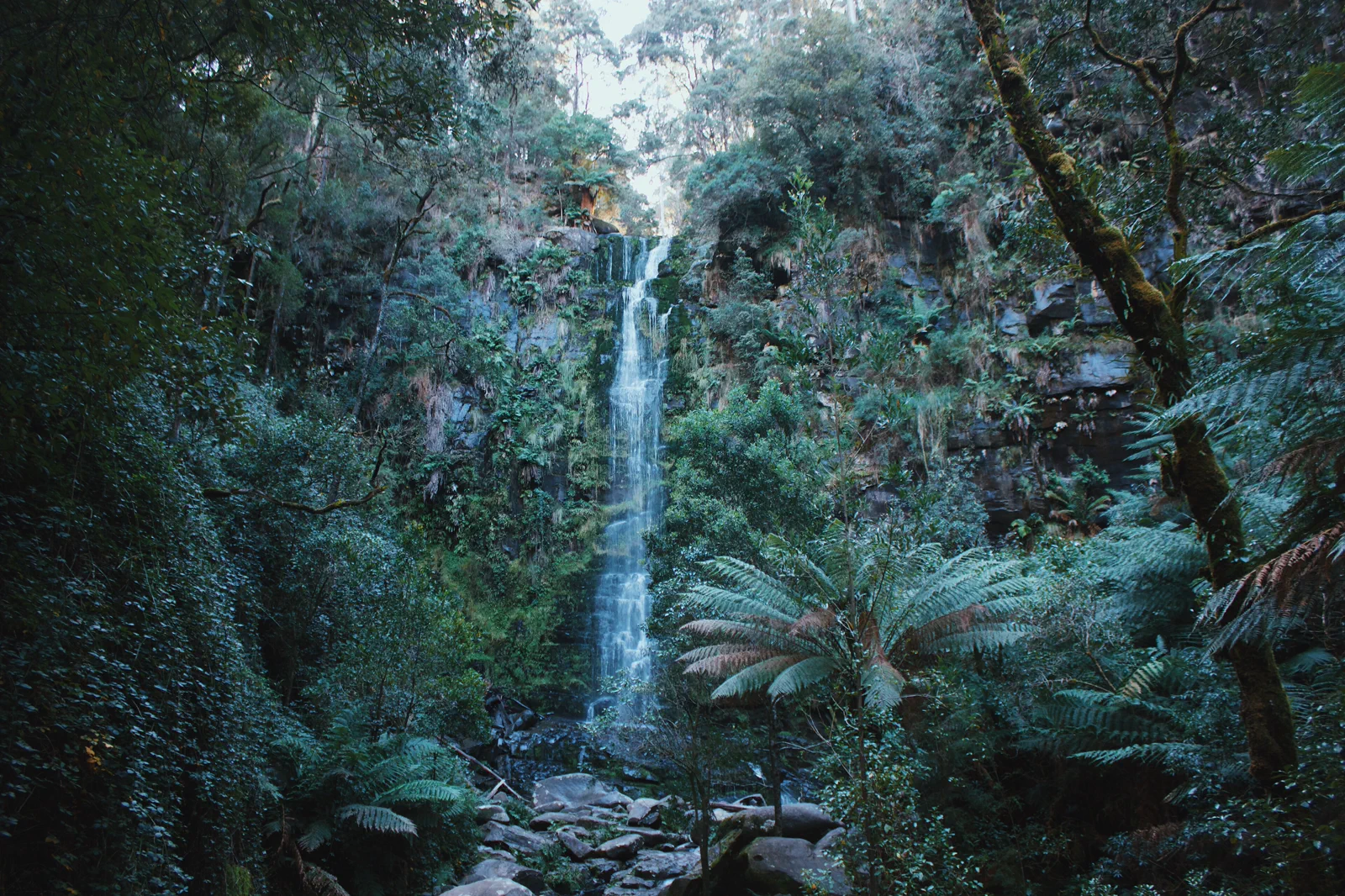
Lorne & Otway Waterfalls
A coast-and-forest day that makes the inland turn, waterfall stairs and narrow access road part of the schedule.
Open the field guide →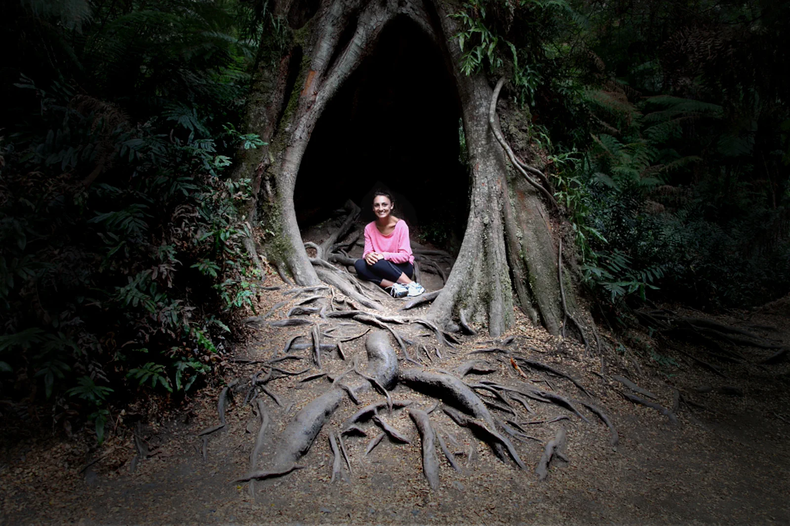
Apollo Bay & the Otways
Use Apollo Bay as a real overnight reset between the open coast and Great Otway forest, with one confirmed…
Open the field guide →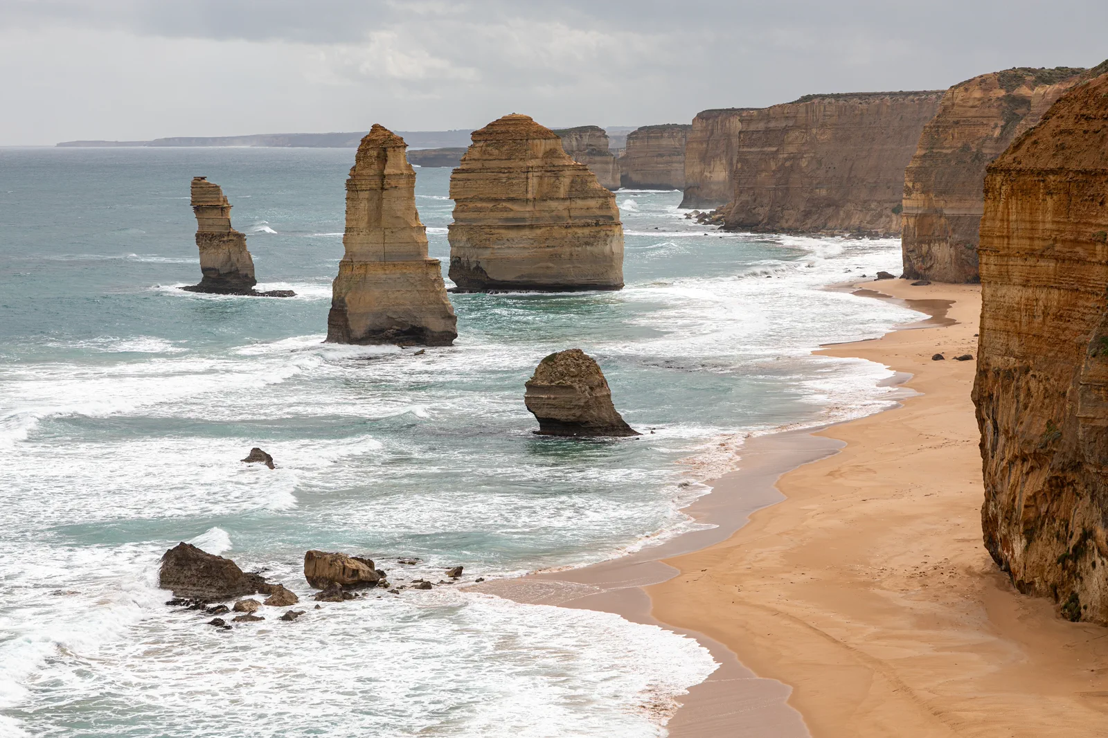
Port Campbell & Twelve Apostles
Base near Port Campbell to visit the limestone coast in daylight, choose formal viewpoints around wind and…
Open the field guide →Gariwerd / Grampians FAQ
Is Mackenzie Falls open in October 2026?
Parks Victoria’s 12 October 2026 notice says there is no vehicle or visitor access to the Mackenzie Falls precinct during construction from 9 February through the anticipated end of 2026. Recheck the live notice because the works schedule can change.
What should replace Mackenzie Falls?
The current notice lists Reeds Lookout, the Balconies, Boroka Lookout and Silverband Falls among sites that remain available, but their own tracks, roads, weather and parking still need a same-day check.
Can I reach every walk from Halls Gap by bus?
Do not assume so. The park has dispersed trailheads. Confirm the exact service, stop, local transfer and return for the selected walk; otherwise use a suitable car or guided operator and keep the itinerary to one subregion.
Official sources and photo credits
Planning facts and image licenses were reviewed on 12 October 2026. Access, weather, transport, fire, marine and operator conditions change; verify directly before travel.
- Parks Victoria — Grampians (Gariwerd), live park conditions, cultural guidance and 2026 closures.
- Parks Victoria — Mackenzie Falls construction and access.
- Country Fire Authority — district fire danger ratings and total fire bans.
- VicTraffic — current regional roads.
- Bureau of Meteorology — Victorian forecasts and warnings.
- Transport Victoria — date-specific public transport planner.
- Bells Beach, Australia (Unsplash).jpg — Samantha Lynch samjaynee, CC0. Resized, display-cropped and converted to WebP; no other material edits.
- Erskine Falls.jpg — Ari Moore, CC BY-SA 4.0. Resized, display-cropped and converted to WebP; no other material edits.
- Maits Rest Rainforest Trail.jpg — Michael John Sankey, CC BY-SA 4.0. Resized, display-cropped and converted to WebP; no other material edits.
- Princetown (AU), Port Campbell National Park, Twelve Apostles -- 2019 -- 0930.jpg — Dietmar Rabich, CC BY-SA 4.0. Resized, display-cropped and converted to WebP; no other material edits.
- View over Halls Gap, Grampians, from Boroka Lookout.jpg — Peter Trenchard, CC BY-SA 4.0. Resized, display-cropped and converted to WebP; no other material edits.