Port Campbell & Twelve Apostles limestone weather board.
Base near Port Campbell to visit the limestone coast in daylight, choose formal viewpoints around wind and access, and leave time for the return road.
GORCAPA is the primary manager for Port Campbell National Park; Great Otway has split management, with some areas still under Parks Victoria. Identify the exact site and follow the responsible authority’s current notice.
Choose the most suitable formal platform first. Add another only when it is open, the driver can park legally, weather remains acceptable and the daylight return is protected. A closed or exposed site is a reason to stop, not seek an informal descent.
Treat this as a cliff-viewing itinerary. Swim only at a location where current local advice and patrol arrangements permit it; if the beach, tide, swell or patrol status is unclear, stay on the signed upper path.
Choose the coast from the forecast, not the photo.
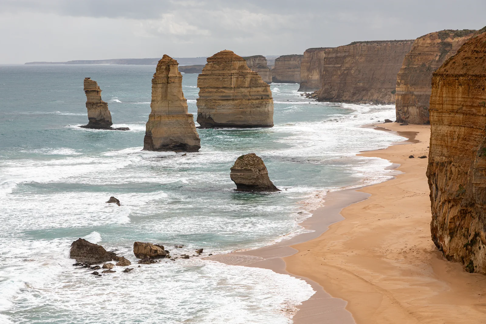
The Twelve Apostles and nearby limestone headlands are exposed viewpoints above a changing Southern Ocean. Use Port Campbell as the reset point and select only the sites whose current access, weather and parking fit the day. The retained photo shows stacks, cliffs and active surf; it does not show safe water for swimming or a promise that every lookout is open. Do not treat every cove as a beach stop. The coast is best read from signed platforms, with a warm layer and an early decision to shorten.
Use one formal platform at a time.
Check conditions from town
Review GORCAPA alerts for Port Campbell National Park, VicTraffic, BOM wind and the relevant coastal or surf advice. Pack layers, water and a daylight buffer; if warnings or closure notices govern the area, change the day before driving.
Reach the signed car park
Use the current official road approach and designated parking. Do not stop on the Great Ocean Road shoulder or follow an unmarked track to save a few minutes. Confirm any access change or visitor information on the authority’s site before departure.
Read the platform, then decide
Stay on the official boardwalk and behind barriers. Pause at one major viewpoint; consider another only when it is open, the group remains comfortable and the return time still works. Keep away from cliff bases and wave-exposed shoreline.
Return before the road loses margin
Drive back to Port Campbell or the confirmed overnight while daylight and attention remain. Do not append an inland Gariwerd transfer or a long wildlife road after sunset; give the next region a separate travel day.
Three reasons to change the plan.
Eroding cliff edges
Barriers and closures reflect unstable ground. Do not climb around a fence or approach the edge for a photograph; return to the signed platform.
Swell and sudden water
The Southern Ocean can produce powerful waves and cut-off areas. This is not a default swimming itinerary; follow site and patrol advice and remain above the waterline.
Crowds and road fatigue
Coach arrivals can make narrow platforms busy, and nearby roads still need driver attention. Wait safely or skip the stop; never pull onto the shoulder or continue when tired.
Access is never implied by proximity.
Stay behind barriers and on formed paths; limestone edges can erode and cliff bases are not a safe shortcut. Waves can surge unexpectedly and isolate low shoreline areas. Do not enter restricted beaches, cross fences, climb stacks or treat a calm photograph as a surf report. Follow cultural interpretation, closure signs and the relevant park authority’s instructions.
Four related field chapters.
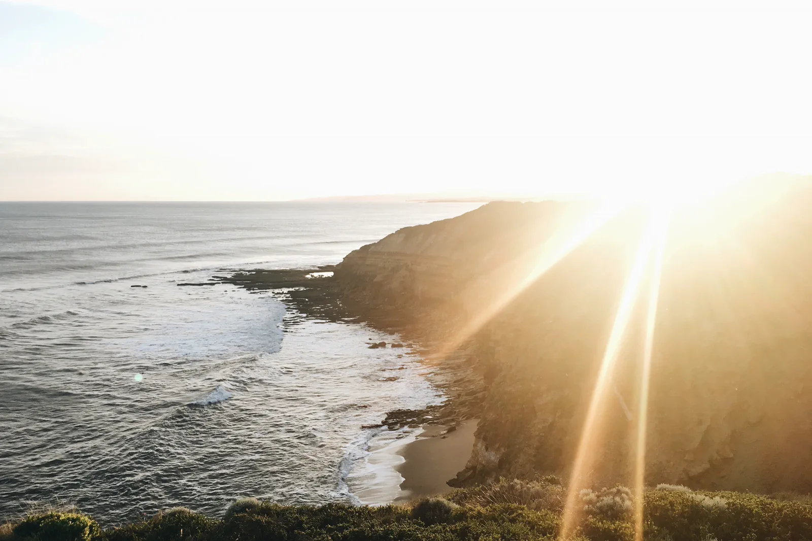
Torquay & Bells Beach
Start the coast with Torquay’s practical town services, a formal Bells Beach viewpoint and a deliberate choice…
Open the field guide →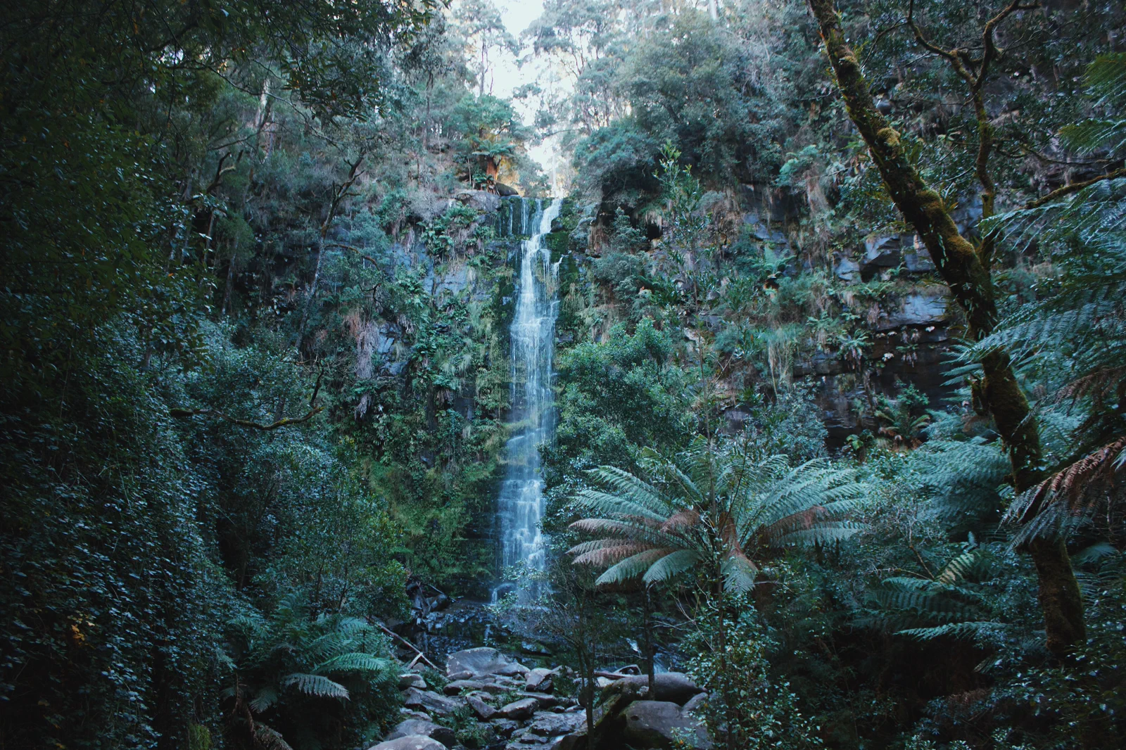
Lorne & Otway Waterfalls
A coast-and-forest day that makes the inland turn, waterfall stairs and narrow access road part of the schedule.
Open the field guide →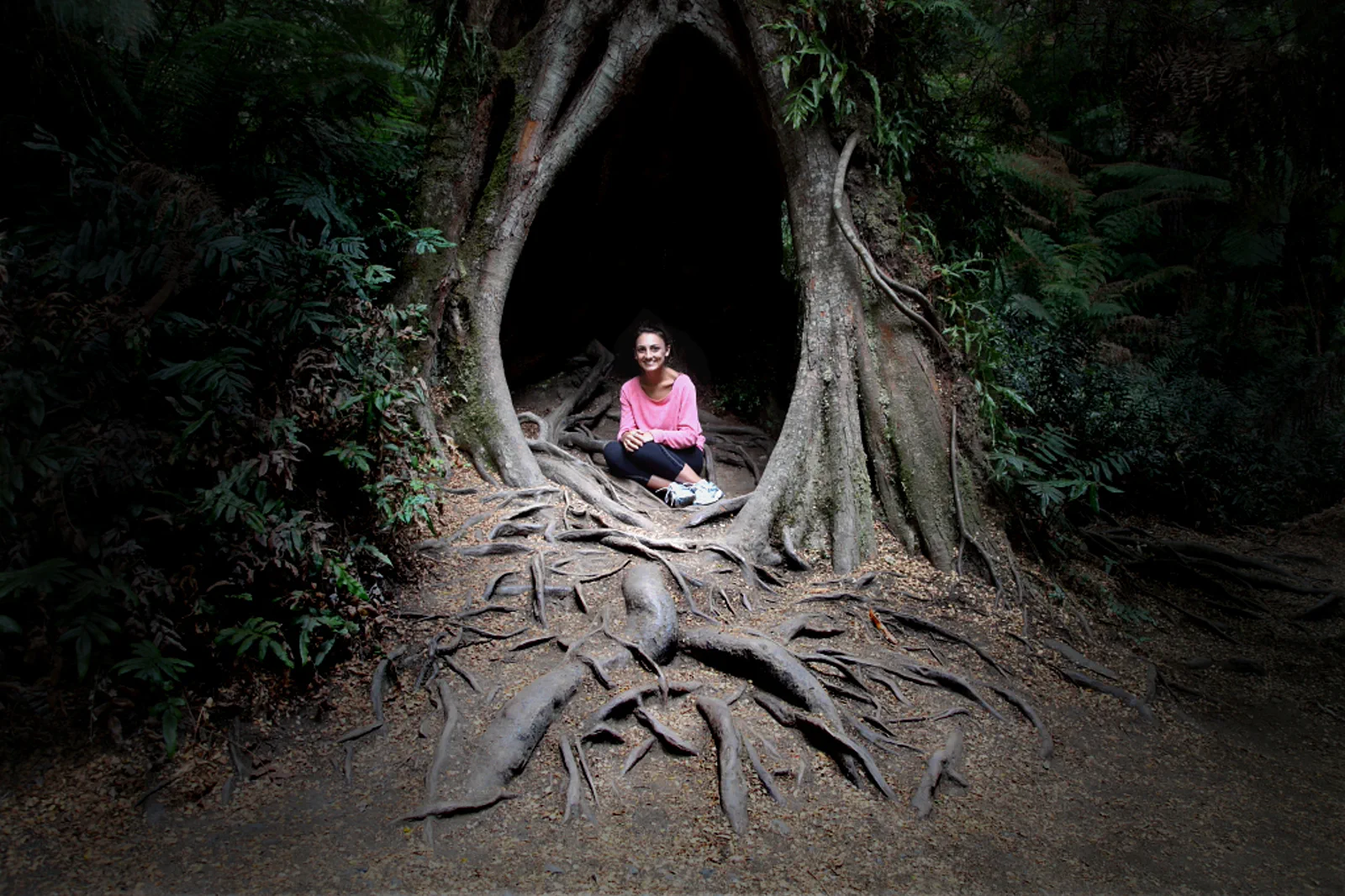
Apollo Bay & the Otways
Use Apollo Bay as a real overnight reset between the open coast and Great Otway forest, with one confirmed…
Open the field guide →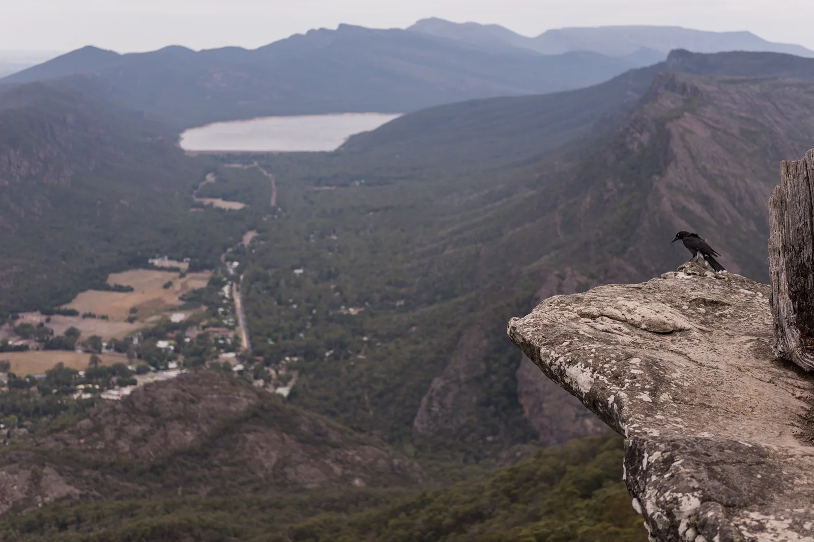
Gariwerd / Grampians
A mountain destination with its own cultural landscape, fire risk and graded walks, not a detour squeezed…
Open the field guide →Port Campbell & Twelve Apostles FAQ
Are the Twelve Apostles viewpoints always open?
No access status should be assumed from a guide or photo. Check the current notice for the specific site and obey barriers, road signs and temporary closures on the day.
Can I swim at the Apostles or nearby coves?
This guide treats the formations as cliff viewpoints. Many exposed coastal areas are hazardous; enter water only where current local advice and patrol arrangements support it, and stay out whenever conditions are uncertain.
Why check both GORCAPA and Parks Victoria?
From 1 July 2026, GORCAPA became the primary manager for Port Campbell National Park and parts of Great Otway, while Parks Victoria retains other areas. Check the authority responsible for the exact park or access point.
Official sources and photo credits
Planning facts and image licenses were reviewed on 12 October 2026. Access, weather, transport, fire, marine and operator conditions change; verify directly before travel.
- Great Ocean Road Coast and Parks Authority — visitor destinations.
- Parks Victoria — park-management transition effective 1 July 2026.
- Parks Victoria — Great Otway management and current notices.
- VicTraffic — current road conditions.
- Bureau of Meteorology — Victorian weather warnings.
- Surf Life Saving Australia — beach and patrol information.
- Bells Beach, Australia (Unsplash).jpg — Samantha Lynch samjaynee, CC0. Resized, display-cropped and converted to WebP; no other material edits.
- Erskine Falls.jpg — Ari Moore, CC BY-SA 4.0. Resized, display-cropped and converted to WebP; no other material edits.
- Maits Rest Rainforest Trail.jpg — Michael John Sankey, CC BY-SA 4.0. Resized, display-cropped and converted to WebP; no other material edits.
- Princetown (AU), Port Campbell National Park, Twelve Apostles -- 2019 -- 0930.jpg — Dietmar Rabich, CC BY-SA 4.0. Resized, display-cropped and converted to WebP; no other material edits.
- View over Halls Gap, Grampians, from Boroka Lookout.jpg — Peter Trenchard, CC BY-SA 4.0. Resized, display-cropped and converted to WebP; no other material edits.